20.9
PDI
16.5 mi
DISTANCE
4,209 ft
GAINED
4.8 %
AVG. GRADE
FULL CLIMB STATS
Page Contributor(s): Stephen Rochford, Longwood Co., Meath
INTRO
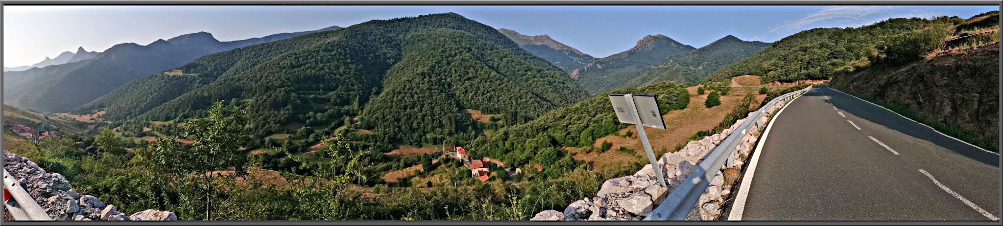
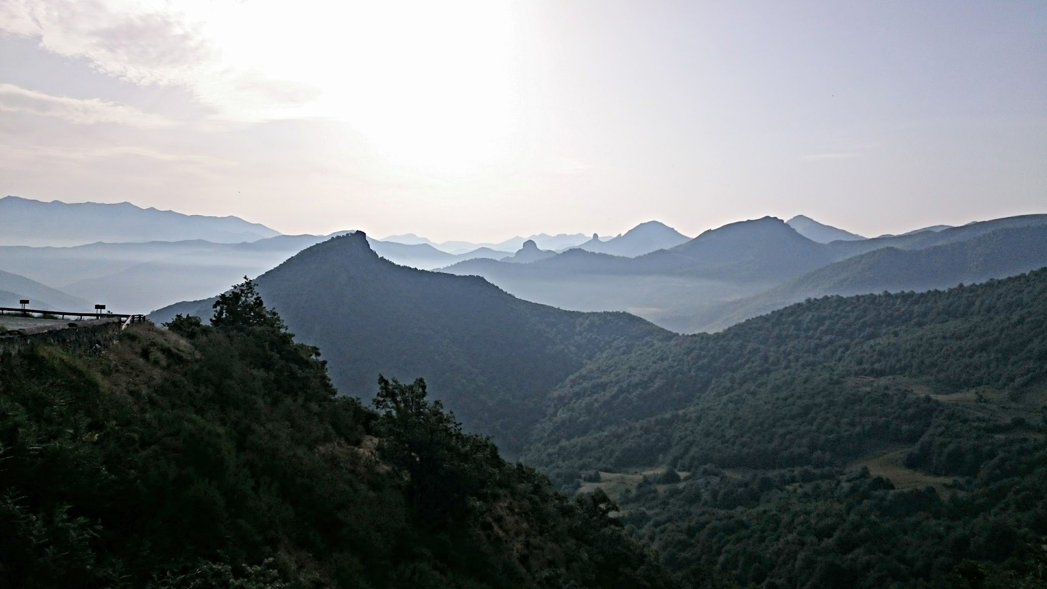
Starting in the beautiful rustic village of Potes, "The Gateway to the Picos," this is one of the longest and highest roads in the Picos de Europa region. Unlike many of the climbs in the area, which are dead-end roads, Puerto San Glorio is an ancient mountain pass connecting the provinces of Cantabria and León, topping out at 1609 m (5,279 ft) on the N-621. Our route covers 26.5 km (16.5 mi) and gains 1283 m (4,209 ft) at a gentle 4.8% average, from 271 m (890 ft) to 1544 m (5,066 ft), just short of the pass.
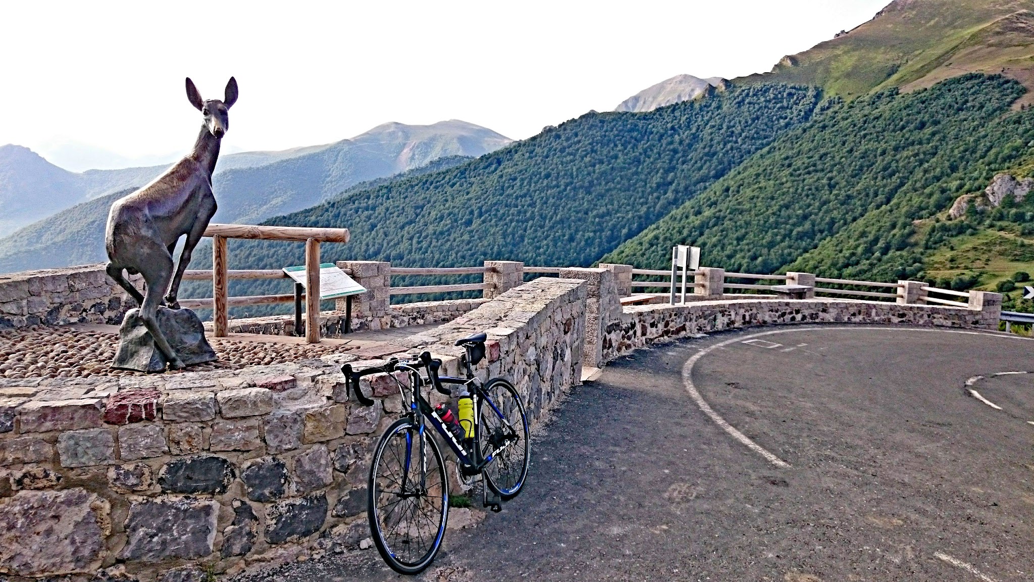
The first 10 km (6.2 mi) are gentle, mostly 1% to 4%, rolling up the Quiviesa valley. After the villages of La Vega and Bores the road settles into a steady 5% to 7% grind for the final 17 km (10.6 mi), with hairpins beginning around km 18. The Mirador del Corzo, marked by a roe deer sculpture at the last hairpin on the Cantabrian side, is a natural place to stop.
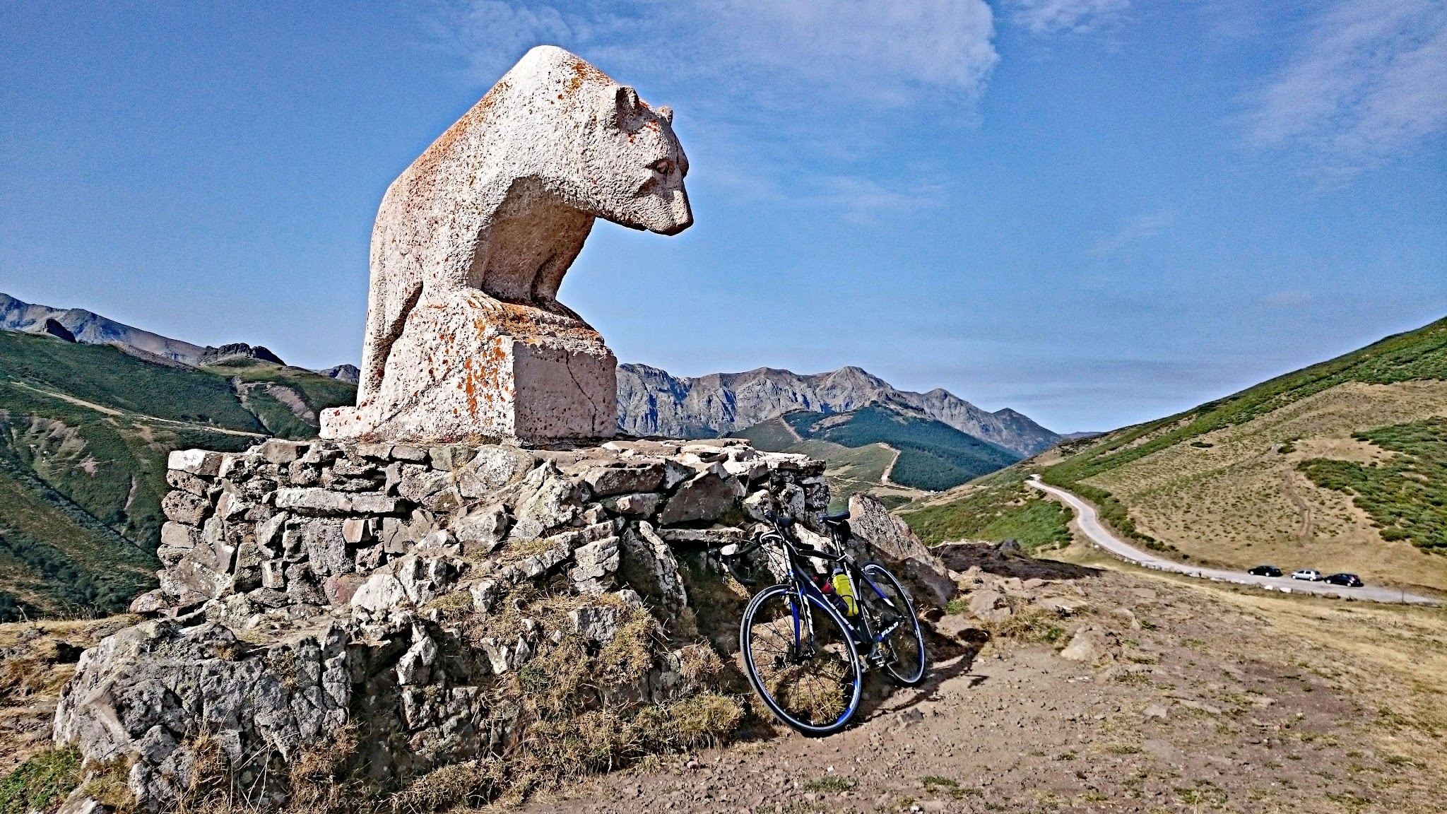
Traffic is light, the pavement is good, and length rather than gradient is the challenge. A side road from the summit climbs about 3 km (1.9 mi) to the Mirador del Oso, with its large brown bear statue, and makes a worthwhile extension.
PLAN YOUR ROUTE
 We've partnered with Sherpa-Map.com to bring you the best route planning tool. With a PRO Membership you can use this climb as a reference when creating your route.
Puerto San Glorio climbs 26.5 km (16.5 mi) from 271 m (890 ft) to 1544 m (5,066 ft), a gain of 1283 m (4,209 ft) at an average grade of 4.8%.
The first 10 km (6.2 mi) are the easy part, mostly 1% to 4% with only a couple of short pushes of about 4% around km 6 and km 7. After km 10 the road turns upward in earnest, with 6.9% and 7.2% in the next two kilometers, a brief easing to 4.3% to 5.0%, and then roughly 13 km (8.1 mi) of 5.2% to 7.5% to the end of the route. The steepest single kilometers come around km 15 (7.5%) and km 23 (7.1%).
The steepest 100 yd (91 m) reaches 9.1%, the steepest 0.5 km (0.3 mi) averages 8.5%, and the steepest kilometer (0.6 mi) averages 8.0%. The steepest mile (1.6 km) averages 7.4%, the steepest 5 km (3.1 mi) 6.7%, and the steepest 10 km (6.2 mi) 6.6%. With nothing steeper than about 9%, it is the length that wears riders down.
Roadway: The N-621 is paved all the way to the pass, and riders consistently describe the surface as very good, with the odd stretch of loose chippings after resurfacing. Snow limits the season: most rides happen from June to September, so check conditions outside that window.
Traffic: Light to moderate. The N-621 is the road toward Riaño and León, but riders mostly share it with motorcyclists and the occasional car, and it is generally quiet on the upper mountain.
Parking: Potes is the busiest tourist town in the Liébana, so expect parking to be tighter in July and August and on weekends. Arrive early and leave the car on the edge of town rather than in the center before you ride out.
Gear: A standard compact crankset is all you need for a 4.8% average with nothing steeper than about 9%. The pass is exposed to the sun in summer, so sun protection matters as much as gearing on this climb.
Provisions: Stock up in Potes before you start. Small villages such as La Vega and Bores appear in the first 10 km, but plan to carry what you need for the upper 17 km (10.6 mi) of steady climbing.
Before heading out on any cycling adventure check out our Things to Bring on a Cycling Trip and use our interactive check list to ensure you don't forget anything.
Potes, known as "the town of bridges and towers," is worth a day on its own. The 15th-century Torre del Infantado houses the town hall, and Santo Toríbio de Liébana, about 5 km (3.1 mi) away, holds the Lignum Crucis, said to be the largest surviving fragment of Christ's cross, and is the destination of the Camino Lebaniego pilgrimage. Local specialties include cocido lebaniego, cheese and cured meats, and November brings the weekend Fiesta del Orujo honoring the local spirit.
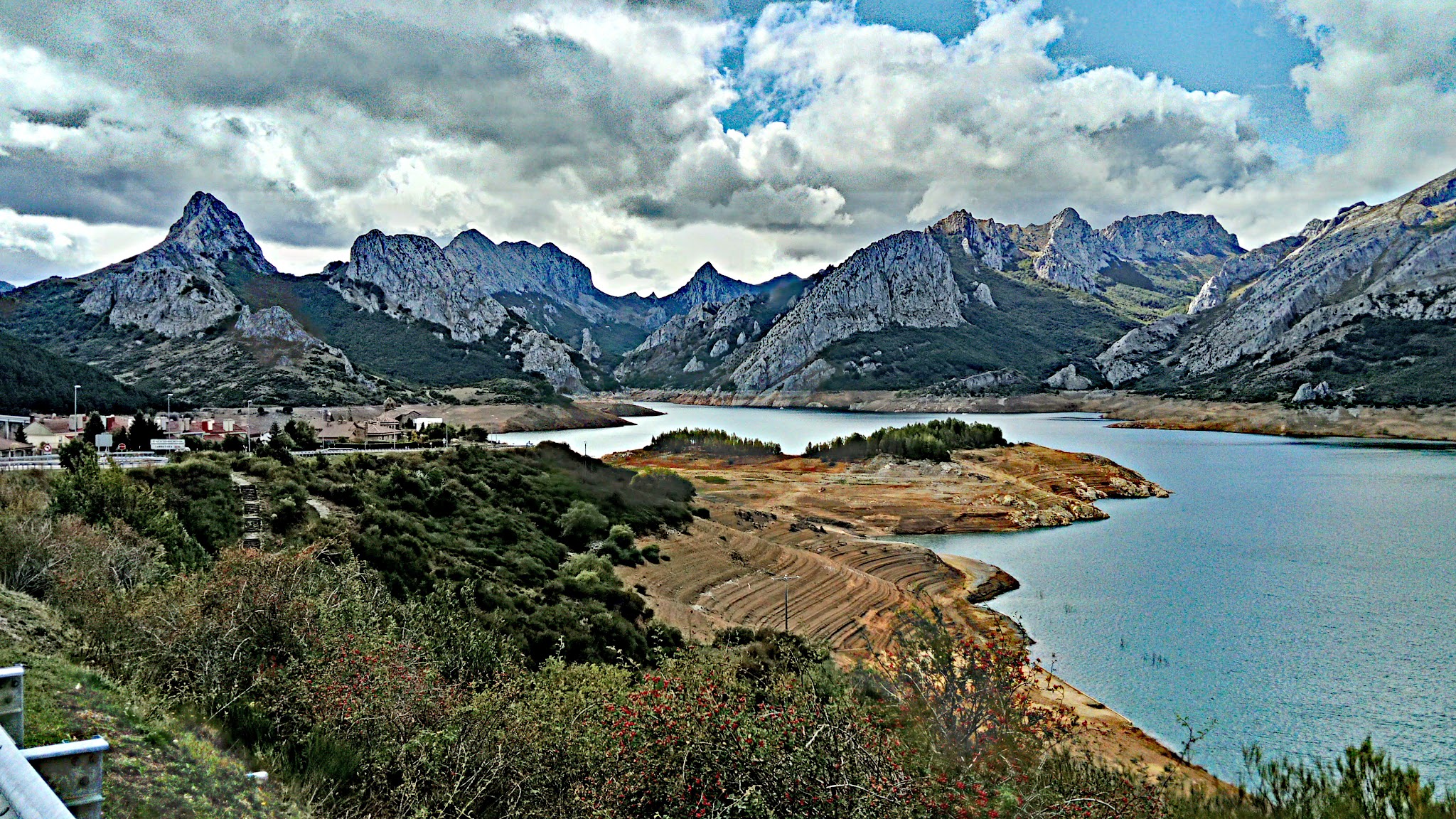
Along the climb, the villages of Dobres and Cucayo are worth a short detour. Over the pass, the road drops to Portillo de la Reina, where you can tackle the Pandetrave climb or continue about 20 km (12.4 mi) to Riaño and its lake among the peaks. Getting here from the north means riding the Desfiladero de la Hermida - see our Salto de la Cabra page for that side of the valley.
With the pass at 1609 m, conditions can change quickly, so check the forecast before you go with our Weather tool.
ROUTE MAP

MEMBER RATING
CURRENT WEATHER
PJAMM TRIPS ADVENTURE STARTER BUNDLES
Check out PJAMM Adventure's prepackaged (self-guided) cycling trips. They will help you plan, document and conquer your next adventure.
NEARBY CLIMBS (0) RADIAL PROXIMITY
FROM No Climbs Found
MEMBER REVIEWS & COMMENTS
Let us know what you thought of this climb. Signup for our FREE membership to write a review or post a comment.
Already have an account?
LOG IN HERE