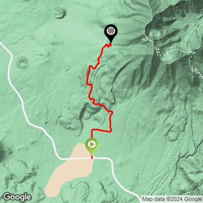
14.1
PDI
7 mi
DISTANCE
2,185 ft
GAINED
5.9 %
AVG. GRADE
FULL CLIMB STATS
INTRO
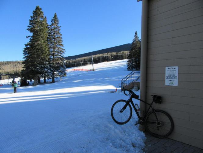
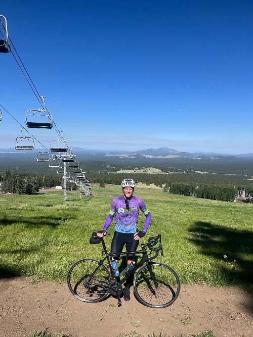
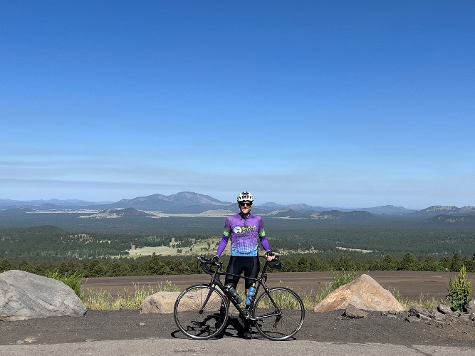
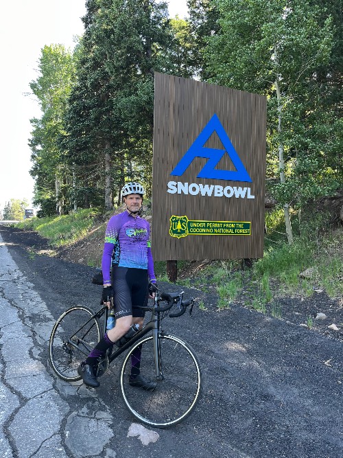
Well - we have climbed the United States, Spain, Italy, and France, but we have never started in such cold conditions (19 degrees Fahrenheit on March 8, 2016 - ouch!) - that's what we get for riding up to the top of a ski resort during the winter! What were we thinking? However, this is a great bike ride to the highest point on a paved road in Arizona.
PLAN YOUR ROUTE
The average grade is 5.8% - gaining 2,023' in 6.6 miles with 0 descent. 40% (2.7 miles) is at 0-5% grade and 57% (3.7 miles) at 5-10%. The steepest quarter-mile is 8.5% and steepest mile 6.9%.
See more details and tools regarding this climb's grade via the “Profile Tool” button.
Roadway: Paved and in good condition but with some cracks across the road that can be annoying on the descent.
Traffic: Mild.
Parking: There is plenty of parking at the start of the climb - Map; Street View.
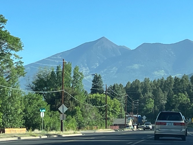
Gear and Weather: You are riding to a ski resort at the highest paved point in Arizona, so be sure to consult the PJAMM "Full Forecast" feature for the time you expect to arrive at the finish to assess what clothing to bring on your ride.
Before heading out on any cycling adventure check out our Things to Bring on a Cycling Trip and use our interactive check list to ensure you don't forget anything.
If you're going to do this climb, don't miss out on the chance to spend the entire day in Flag! Here are some of our favorite post-ride hangout spots:
Brunch: The Toasted Owl Cafe
Local Brews (☕️+🍻): Mother Road Brewing Co; Cedar House Coffee Shop
If you're a hiker, we HIGHLY recommend climbing Humphrey's Peak as well. At 12,633ft, it's the highest point in Arizona, and you can even see the Grand Canyon from the summit - a once in a lifetime view.
ROUTE MAP
MEMBER RATING
CURRENT WEATHER
PJAMM TRIPS ADVENTURE STARTER BUNDLES
Check out PJAMM Adventure's prepackaged (self-guided) cycling trips. They will help you plan, document and conquer your next adventure.
NEARBY CLIMBS (0) RADIAL PROXIMITY
FROM No Climbs Found
MEMBER REVIEWS & COMMENTS
Let us know what you thought of this climb. Signup for our FREE membership to write a review or post a comment.
Already have an account?
LOG IN HERE
davec
Weather was nice the day we did it. Very little traffic when we climbed which was weekday early morning. Constant gradient which made it enjoyable.
Only negative was the bad road on way down the seams in the road from the freezing snow during winters made it very bumpy and had to ride the brakes.
whitworks
the juice is not worth the squeeze. 267 cars passed me going up. yes, I counted. no, that's not a typo.
trier1992
Fun ride up, painful ride down. The road really eats you alive on the descent. Still worth the effort, though, and you can ride in along the arriving road for quite a ways jf you want to tack on some miles.
toryua
really a fantastic climb; we did it twice with no trouble; took me an hour to climb up each time. the road is terrible but you only notice it on the way down
dreidtri
Not a bad climb but the road surface is terrible in places.