21.8
PDI
17.2 mi
DISTANCE
4,395 ft
GAINED
4.8 %
AVG. GRADE
FULL CLIMB STATS
Page Contributor(s): Stephen Rochford, Longwood, Meath, Ireland
INTRO
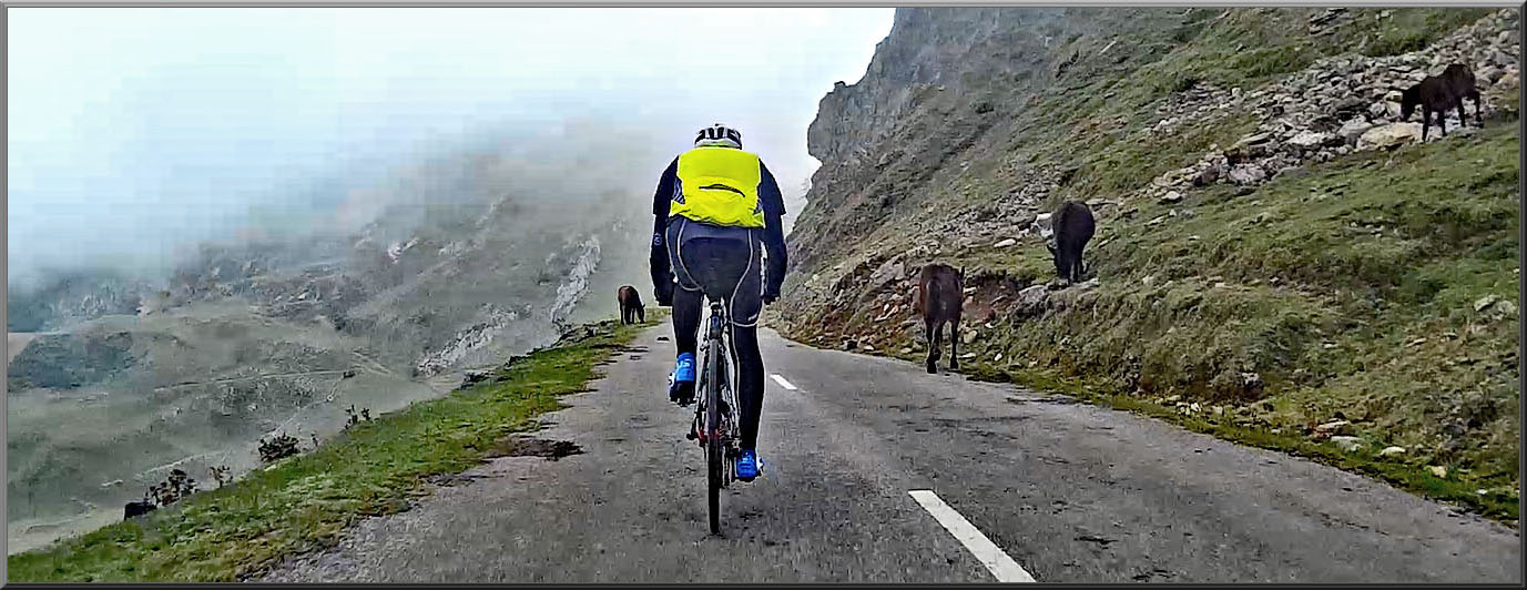
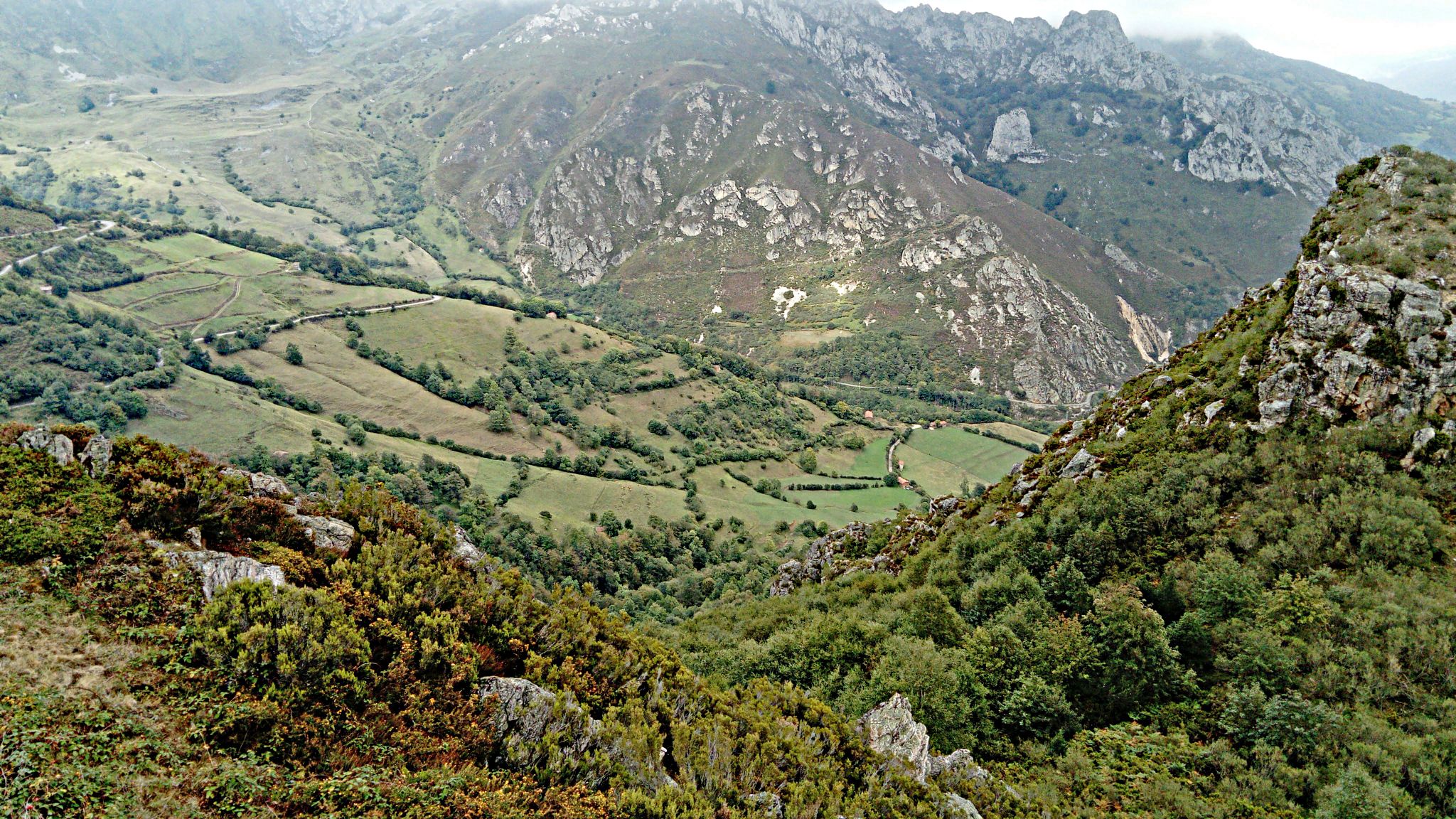
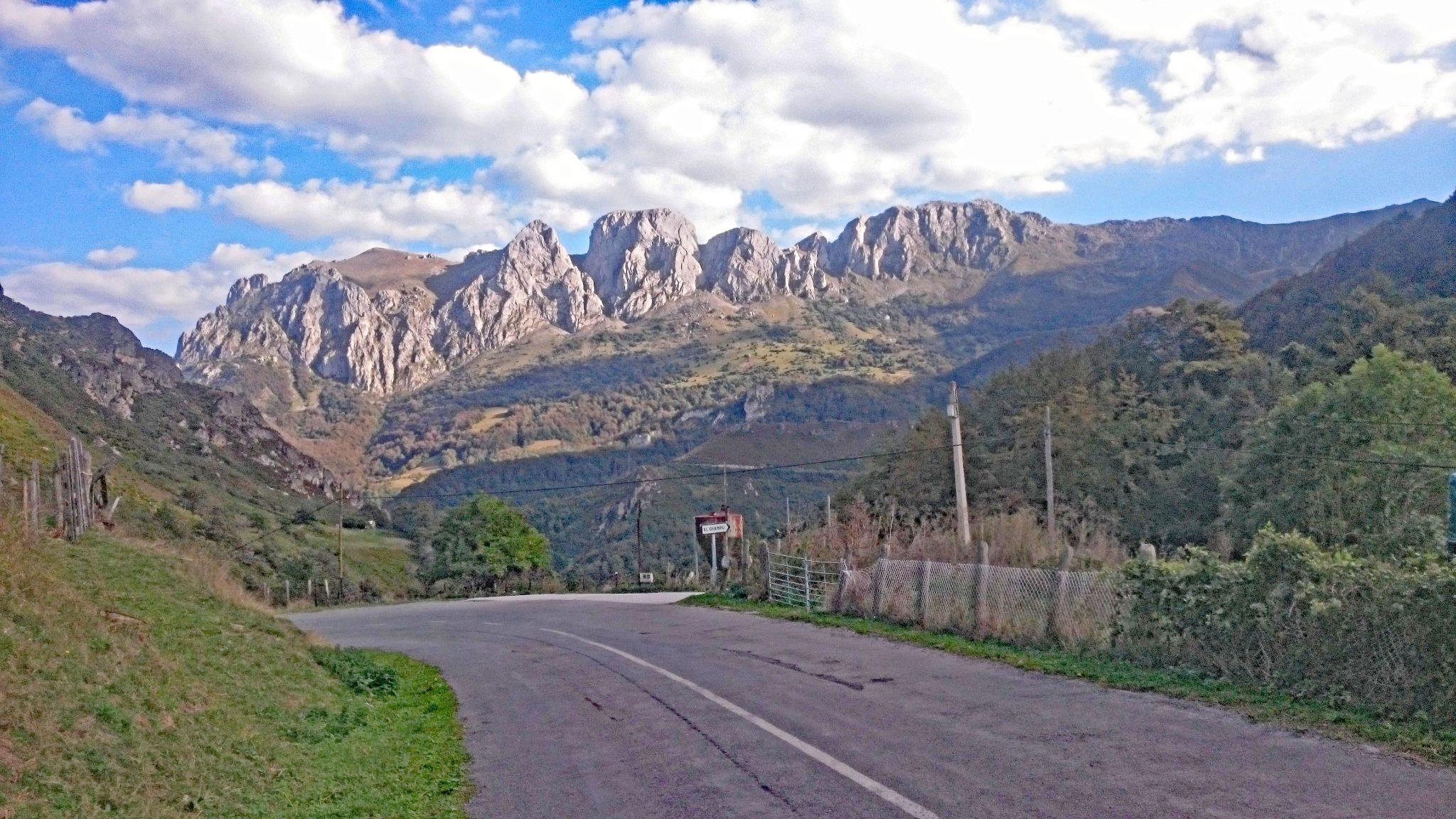
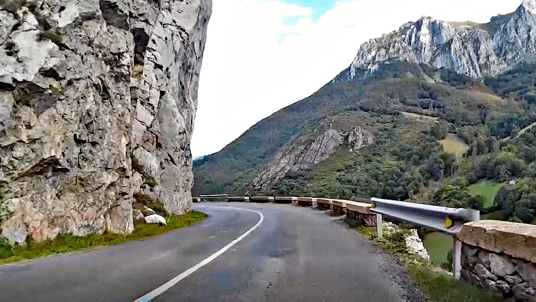
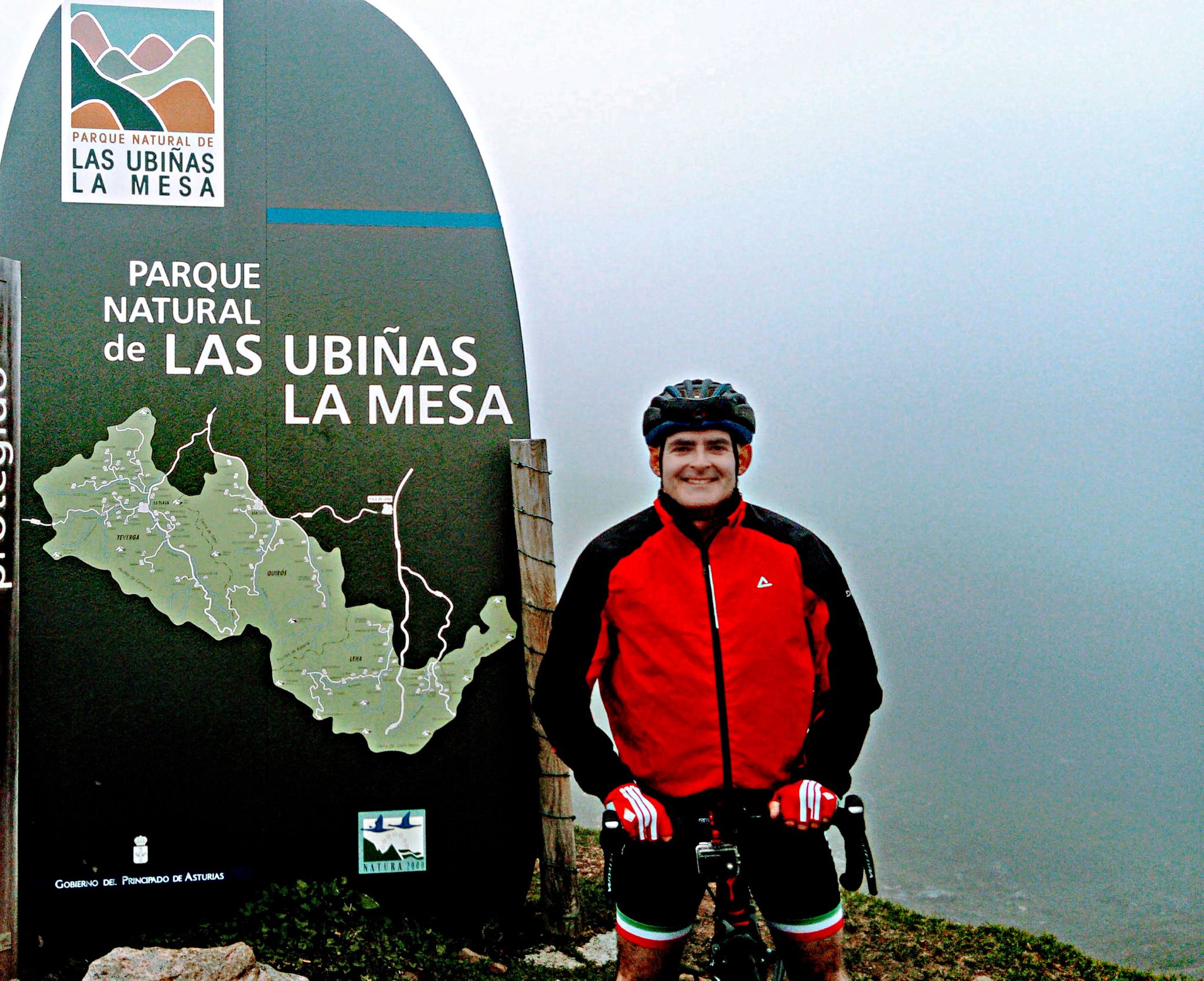
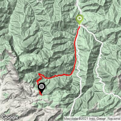
La Cubilla is the long way up to the Asturias-León border: a 27.7 km (17.2 mi) climb from the village of Campomanes that gains 1,340 m (4,395 ft) at a modest 4.8% average and finishes at 1,674 m (5,492 ft) inside the Las Ubiñas-La Mesa Natural Park and Biosphere Reserve. The average hides the shape of the ride. Roughly the first 10 km (6.2 mi) are a gentle warm-up along the valley floor, and the real climbing starts around Los Pontones, where the final 18 km (11.2 mi) wind up through Teyeo, Riospaso and Tuiza with hairpins, a few ramps above 10%, and limestone peaks closing in around Peña Ubiña (2,417 m / 7,930 ft).
Riders sometimes compare it to the Galibier - Alpine scale and scenery on a road that sees very little traffic. The Vuelta a España found it in 2019, when Stage 16 from Pravia finished here on September 9 and Jakob Fuglsang won, with Primož Roglič keeping the red jersey. Snow closes the upper road in winter storms, and the section from Tuiza to the top was shut as recently as January 2026, so check conditions before a spring or fall ride.
PLAN YOUR ROUTE
 We've partnered with Sherpa-Map.com to bring you the best route planning tool. With a PRO Membership you can use this climb as a reference when creating your route.
 Averaged over 27.7 km (17.2 mi), La Cubilla's 4.8% grade is mild for a climb this long, but it is front-loaded with easy road and back-loaded with work. The steepest half kilometer (0.3 mi) averages 8.6%, the steepest full kilometer (0.6 mi) 8.1%, and the steepest 2 km (1.2 mi) 7.3%. Zoom out and the effort stays honest: the steepest 5 km (3.1 mi) averages 6.7% and the steepest 10 km (6.2 mi) 6.3%.
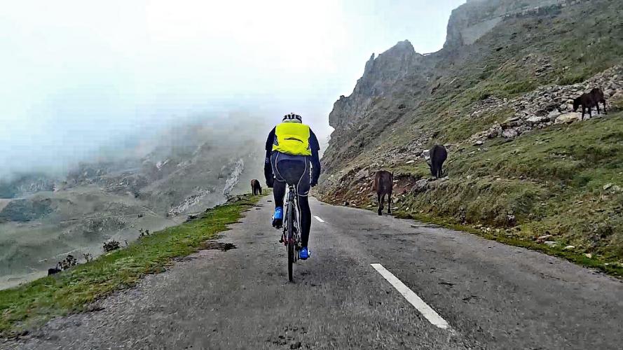
There is no single wall to survive, so this climb rewards patient pacing. The first 10 km (6.2 mi) to Los Pontones barely tilt upward. The hardest pitches, brief ramps around 9-11%, arrive roughly 10-13 km (6.2-8.1 mi) in, just as the valley floor ends and the road starts working up the mountainside. From there to the top the road alternates ramps of 5-7% with short breathers as the hairpins stack up above Riospaso and Tuiza.
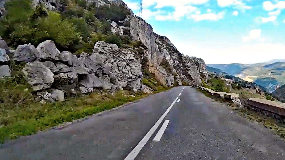
Roadway: The climb follows the LN-8 and is paved from Campomanes to the summit. The upper road was resurfaced in summer 2023 (slope reinforcement between Tuiza and the top, followed by full resurfacing from the summit down to Los Pontones), and Turismo Asturias describes the surface as good. It is a narrow mountain road, so stay alert for oncoming vehicles on the hairpins. Snow closes the section above Tuiza during winter storms - it was shut in early January 2026 - so check conditions before riding outside summer.
Traffic: Light. Expect some truck traffic near a quarry early in the climb, then mostly local traffic through Teyeo, Riospaso and Tuiza, and very little on the upper mountain.
Parking: Campomanes is a small village of about 600 residents where the N-630 and the AP-66 motorway meet, and there is no dedicated cycling car park, so plan on street parking in the village. You can also skip the car: Cercanías line C-1 stops at Campomanes station, about 500 m (0.3 mi) from the village center.
Top up bottles and food in Campomanes before you start. Beyond Los Pontones the road passes only through small villages (Teyeo, Riospaso, Tuiza), so carry what you need for the 18 km (11.2 mi) of real climbing. The summit sits at 1,674 m (5,492 ft) and fog can settle in, so a light jacket is worth packing even in summer, especially for the long descent. With a 4.8% average and ramps that peak around 10%, a standard compact drivetrain is plenty.
Before heading out on any cycling adventure check out our Things to Bring on a Cycling Trip and use our interactive check list to ensure you don't forget anything.
Campomanes sits in the Huerna valley about 5 km (3.1 mi) from Pola de Lena, whose lodging and wider services are covered on our Alto de Gamoniteiro pages. Campomanes itself is a good spot for a post-ride meal: Asador Parrilla Campomanes, on Calle la Estación, is a grill known for roast lamb and chuletón, with a terrace. The village also has a Roman bridge beside the Palacio de Revillagigedo, and the Camino de San Salvador between León and Oviedo passes through the parish, making it an easy rest-day stroll.
At the top the road forks: the right branch heads toward San Emiliano in León, while the left turns to gravel. The León-side link has long been unfinished, so most riders simply retrace their route. For another big climb from the same valley, the Pajares road up to Cuitu Negru (our Brañillin page) also traditionally starts in Campomanes. See other climbs nearby, or map out a custom route from here, with our Routes in the Area tool.
ROUTE MAP
MEMBER RATING
CURRENT WEATHER
PJAMM TRIPS ADVENTURE STARTER BUNDLES
Check out PJAMM Adventure's prepackaged (self-guided) cycling trips. They will help you plan, document and conquer your next adventure.
NEARBY CLIMBS (0) RADIAL PROXIMITY
FROM No Climbs Found
MEMBER REVIEWS & COMMENTS
Let us know what you thought of this climb. Signup for our FREE membership to write a review or post a comment.
Already have an account?
LOG IN HERE