
10.7
PDI
5.7 mi
DISTANCE
1,810 ft
GAINED
6 %
AVG. GRADE
FULL CLIMB STATS
Page Contributor(s): Joel Blatt, Bend, OR, USA
INTRO
This 5.7 mile bike climb is located in OR, USA. The average gradient is 6% and there is a total elevation gain of 1,810 ft, finishing at 5,813 ft.
Use the profile tool, route map, and weather forecast to conquer this cycling climb.
Use the profile tool, route map, and weather forecast to conquer this cycling climb.
PLAN YOUR ROUTE
 We've partnered with Sherpa-Map.com to bring you the best route planning tool. With a PRO Membership you can use this climb as a reference when creating your route.
 This climb averages 0%. The steepest quarter mile of this climb is 0%. NaN miles of the climb is at or above 10% grade. The gradient on this climb is broken down as follows:
See more details and tools regarding this climb's grade via our interactive Profile Tool.
See more details and tools regarding this climb's grade via our interactive Profile Tool.
Information Not Available
If you have any information regarding this climb, we'd like to hear from you. Click the CONTRIBUTE button to share your thoughts with us.
Information Not Available
If you have any information regarding this climb, we'd like to hear from you. Click the CONTRIBUTE button to share your thoughts with us.
Before heading out on any cycling adventure check out our Things to Bring on a Cycling Trip and use our interactive check list to ensure you don't forget anything.
Information Not Available
If you have any information regarding this climb, we'd like to hear from you. Click the CONTRIBUTE button to share your thoughts with us.
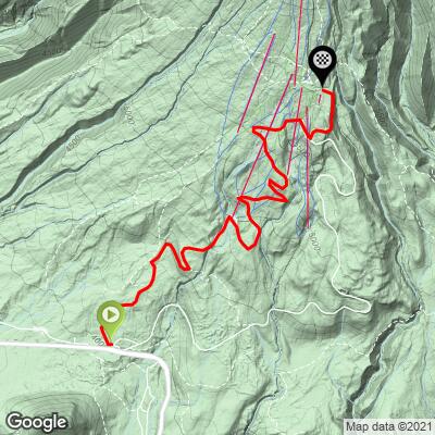
ROUTE MAP
MEMBER RATING
CURRENT WEATHER
PJAMM TRIPS ADVENTURE STARTER BUNDLES
Check out PJAMM Adventure's prepackaged (self-guided) cycling trips. They will help you plan, document and conquer your next adventure.
NEARBY CLIMBS (0) RADIAL PROXIMITY
FROM No Climbs Found
MEMBER REVIEWS & COMMENTS
Let us know what you thought of this climb. Signup for our FREE membership to write a review or post a comment.
Already have an account?
LOG IN HERE
Ben_and_his_Bike
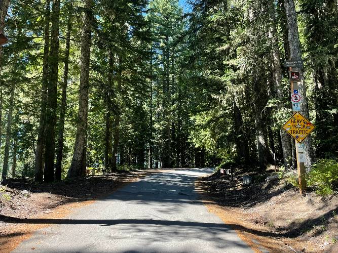
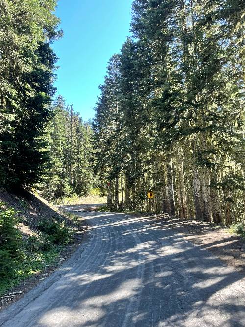
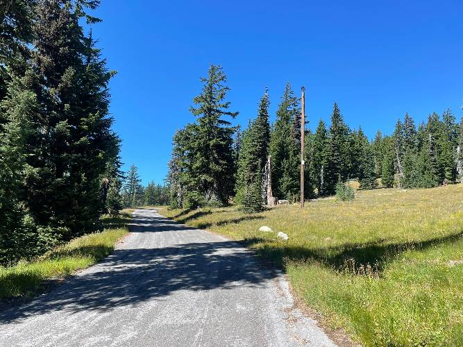
West Leg Road is a great companion ride to Timberline next to it. This ride follows an old one-ish lane road to where it dumps out near the lodge. The road itself is paved and while it's heavily scraped up, it wasn't crumbling or cracked in a way that would make it uncomfortable to ride on any tire. It winds back and forth beneath the ski lifts and grassy trails which are actively used for mountain biking in the summer. There's minimal traffic, with only a few vehicles heading up to trail heads and biking drop offs.
Keeping in mind that downhill mountain bikers have the right away, that there are speed bumps, limited passing space and visibility for the few slow vehicles you'll pass, and the tighter turns, it's likely safer (and more fun) to descend Timberline instead. Lets you cash in on those scenic views too.
joelmblatt
Venue for great race, but unfortunately no longer. You should ride this and descend the car road, then climb back up the car road, which is also on PJAMM.
