28.5
PDI
12.8 mi
DISTANCE
4,728 ft
GAINED
6.2 %
AVG. GRADE
FULL CLIMB STATS
Page Contributor(s): Lisa Irizarry and Matthew Jiang, New York, New York; Luke Hise, Phoenix, AZ
INTRO
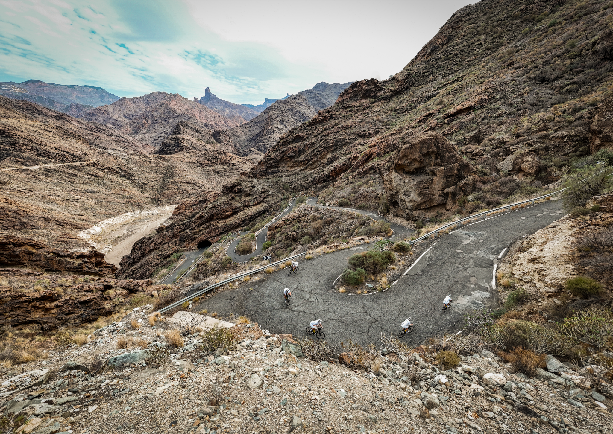
The Valley of the Tears is a legendary climb that tests even the strongest riders with brutal gradients and relentless switchbacks. From Cercadillos, on the edge of La Aldea de San Nicolás, it climbs 20.6 km (12.8 mi) and gains 1,441 m (4,728 ft) to finish at 1,373 m (4,504 ft) - and nearly all of the real work is packed into the final 10.5 km (6.5 mi) on the GC-606, which average about 9.1%.
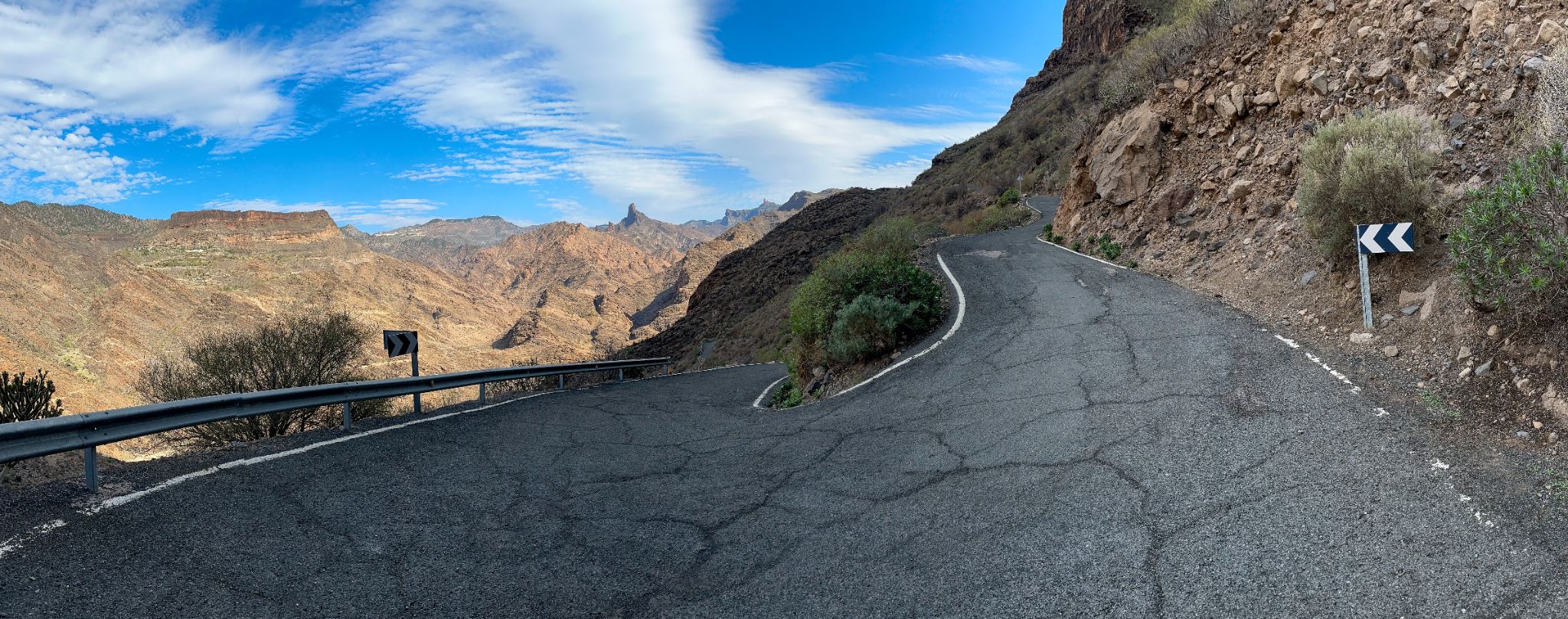
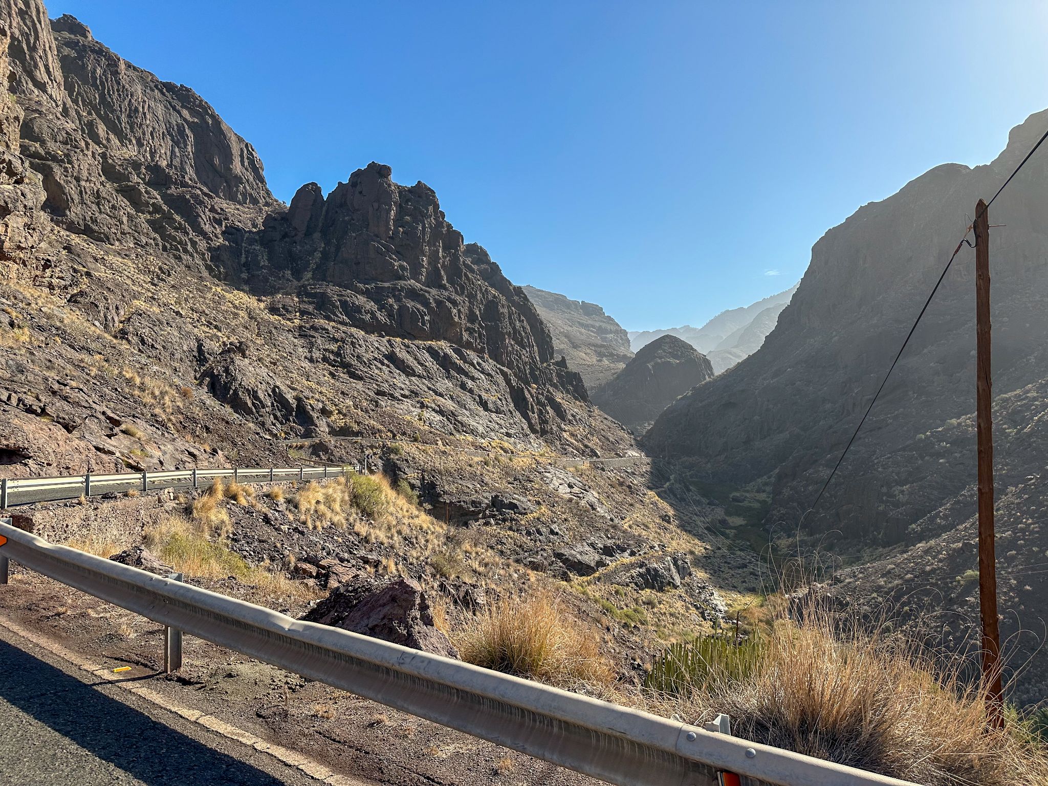
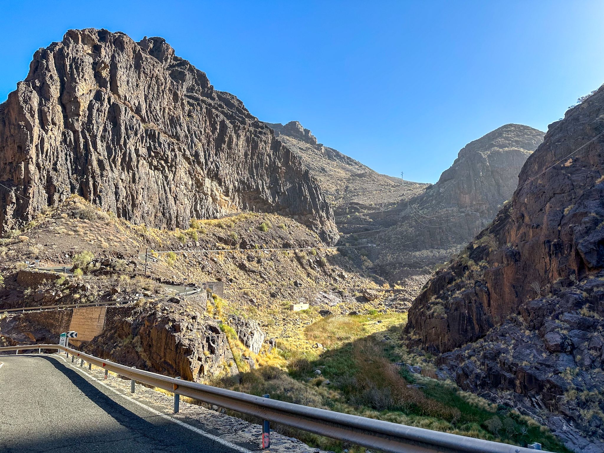
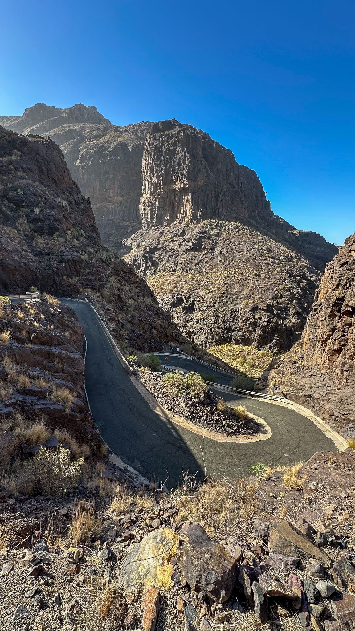
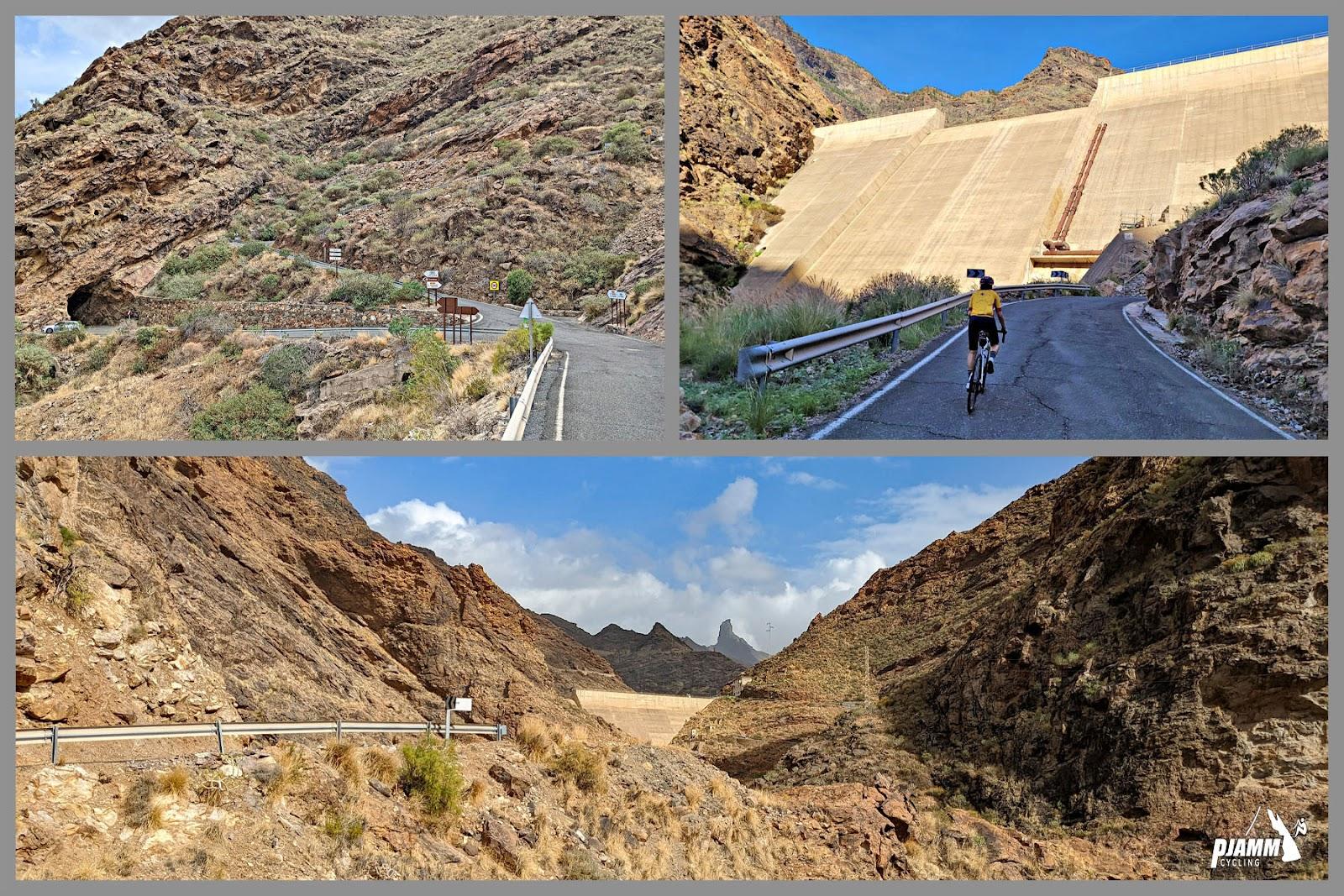
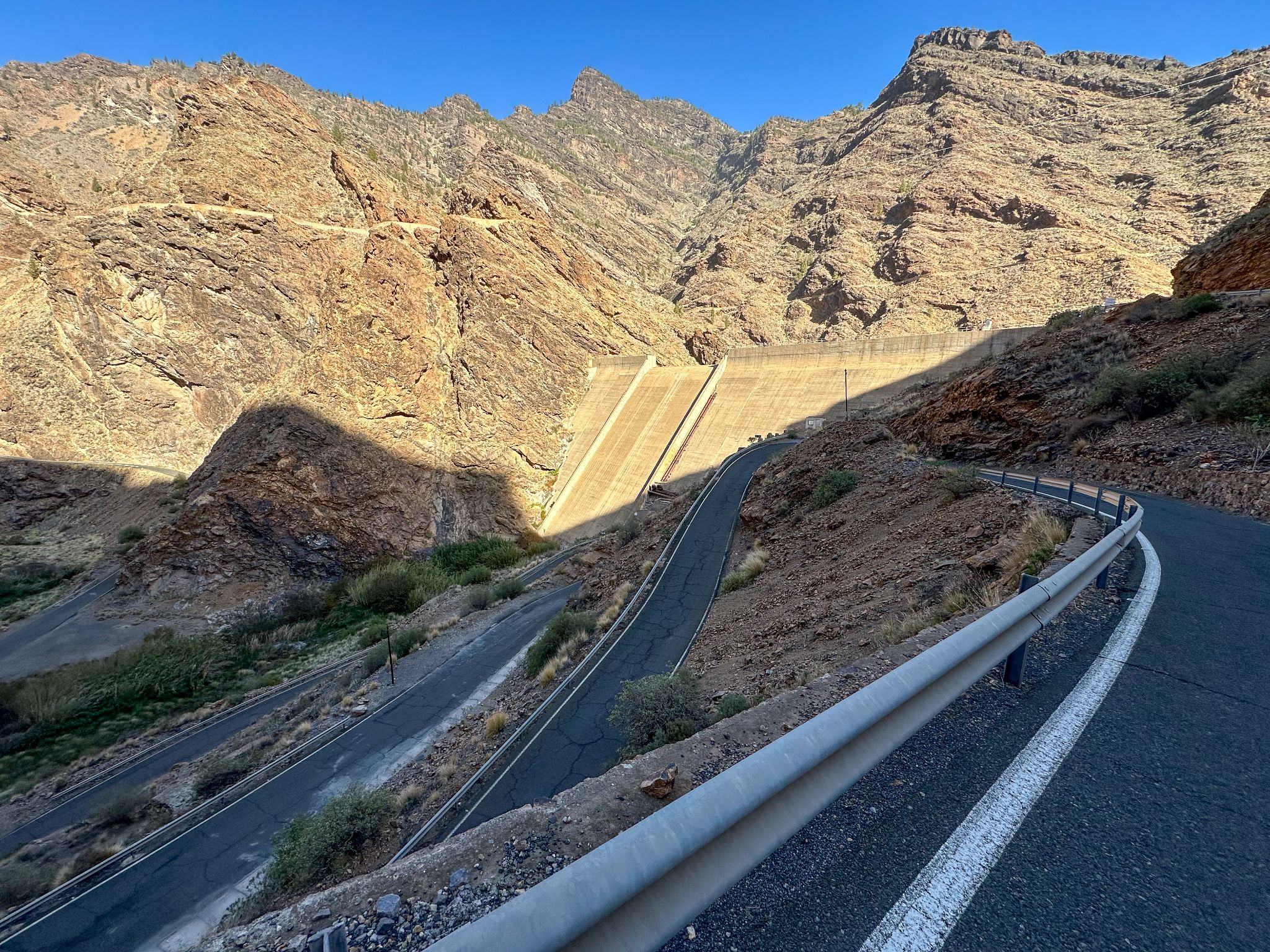
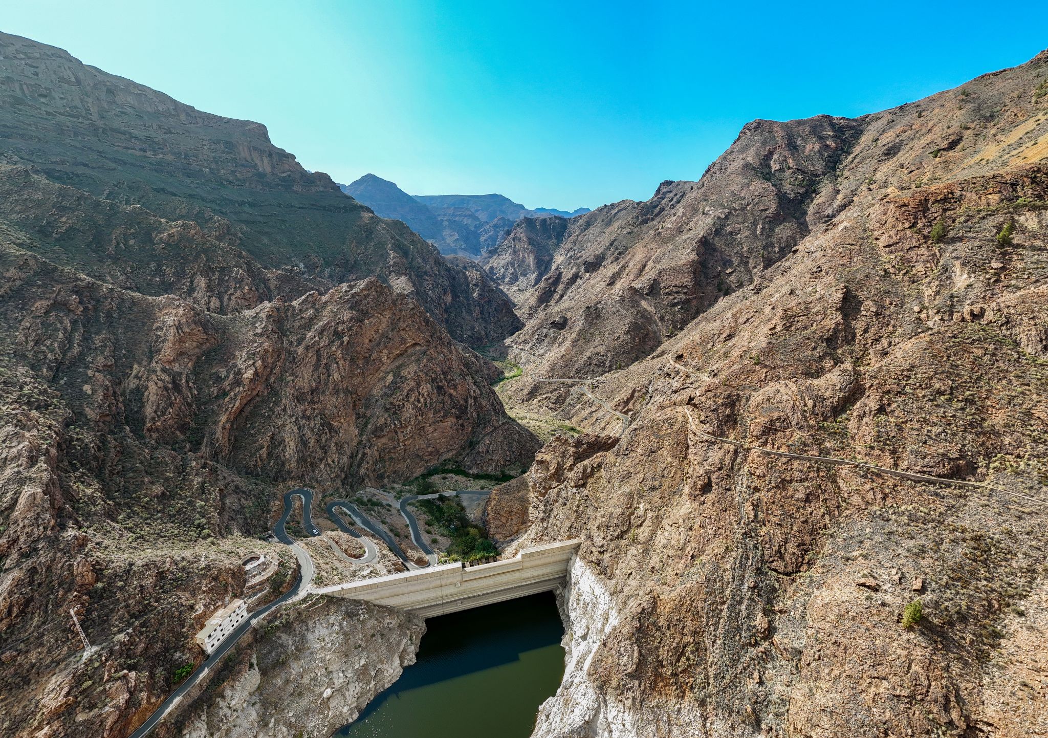
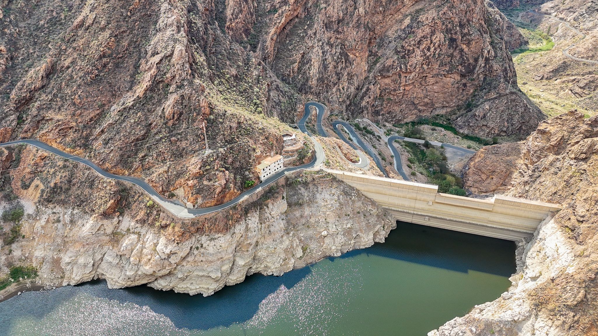
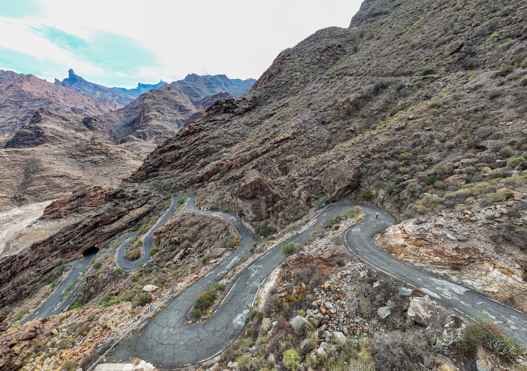
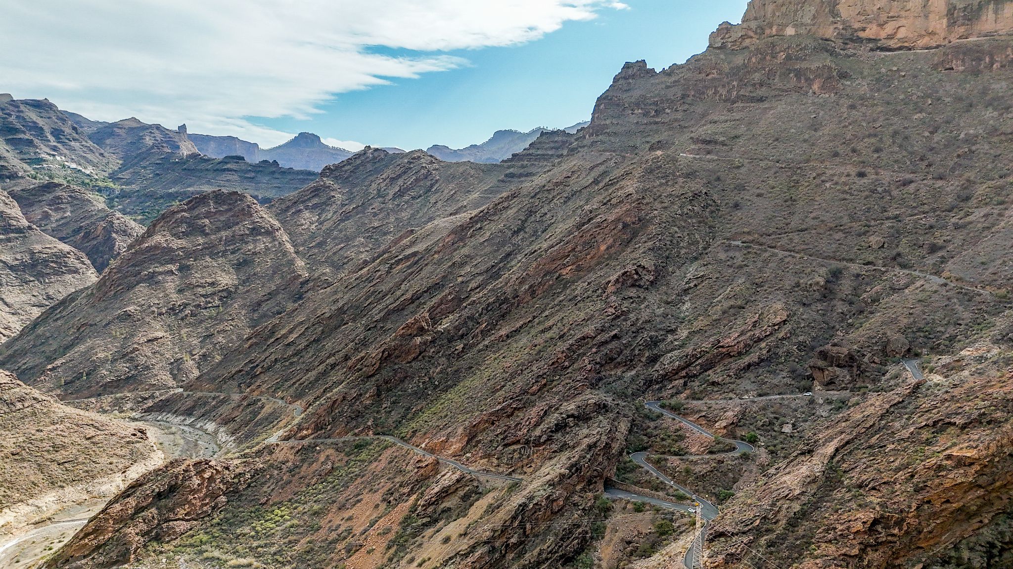
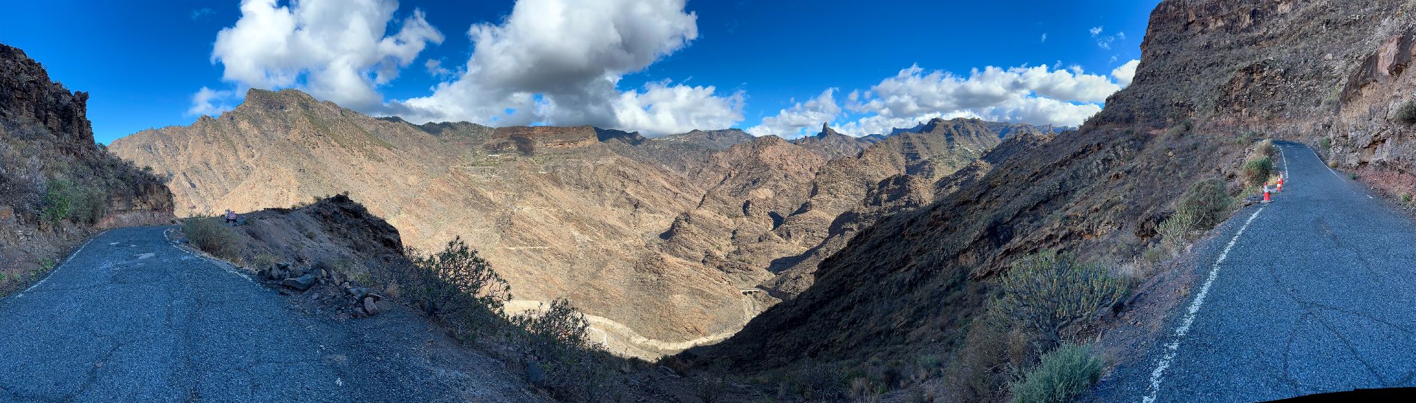
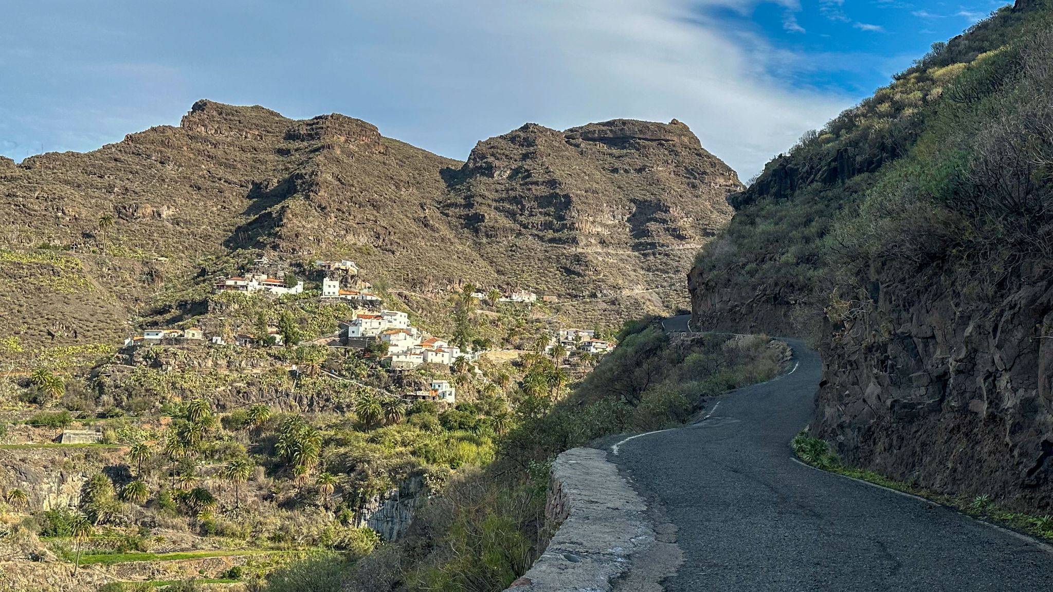
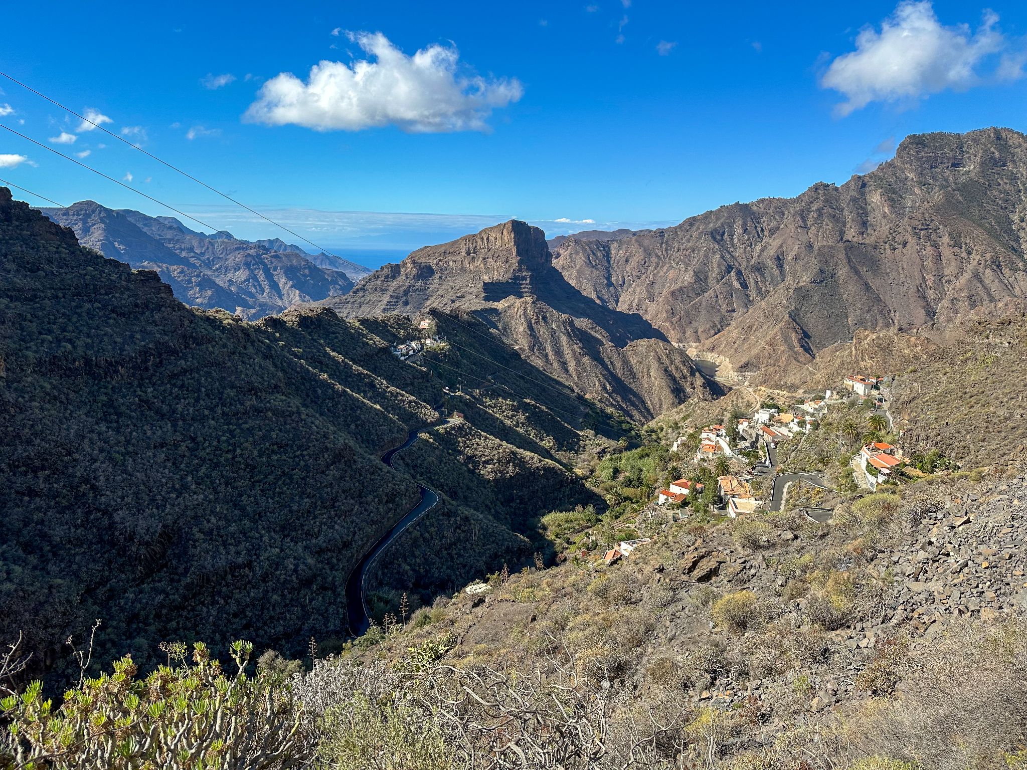
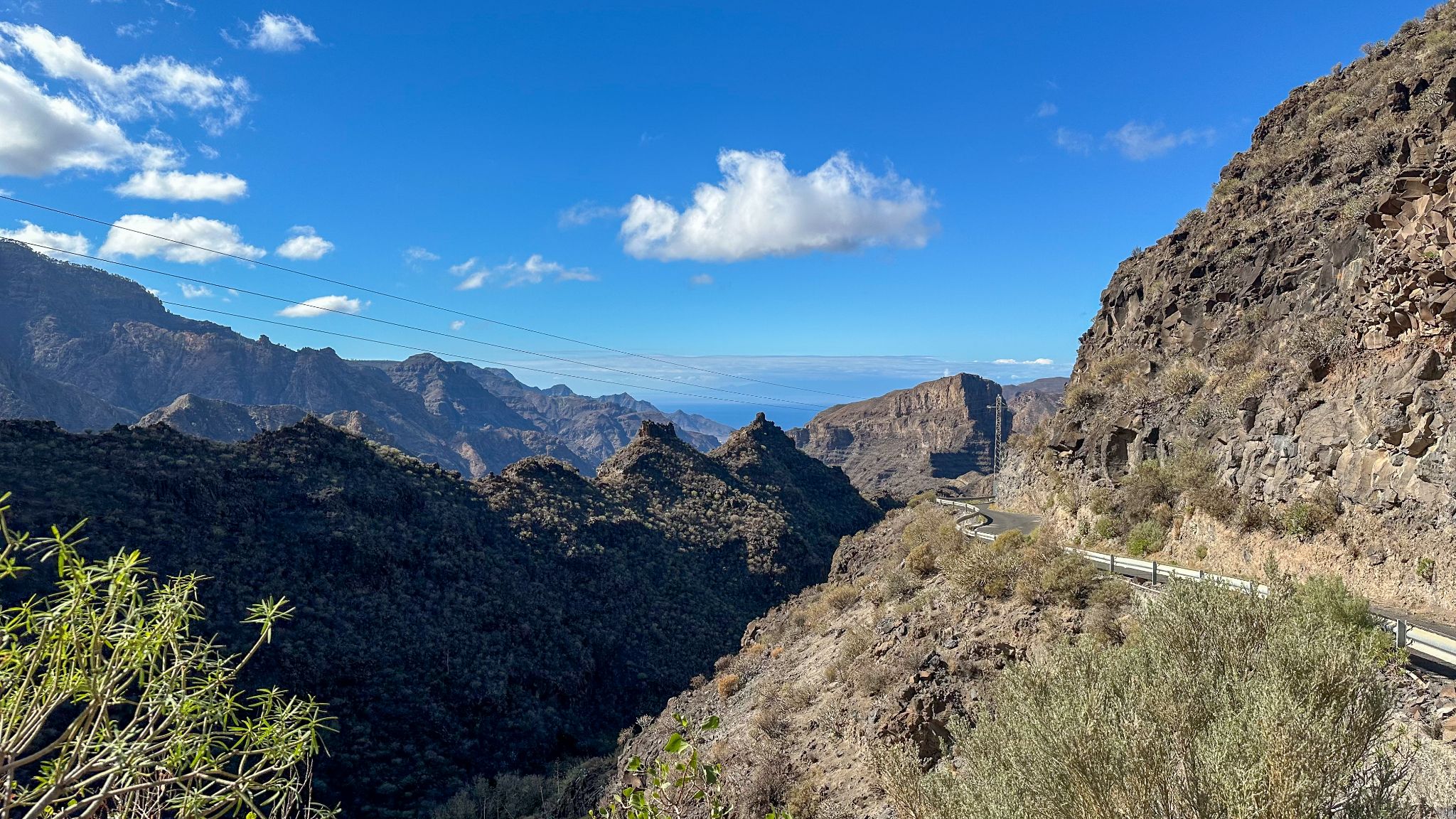
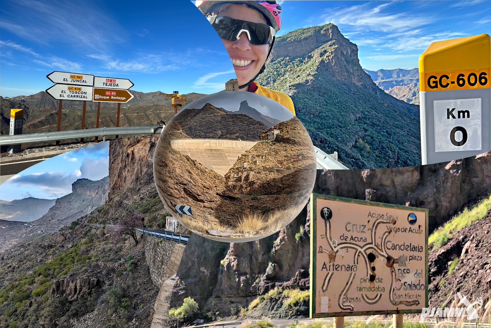
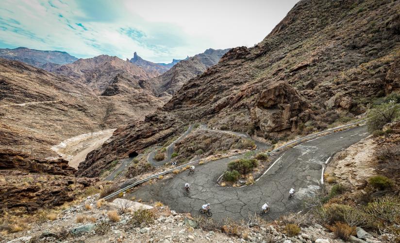
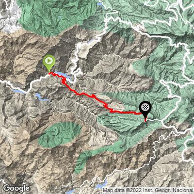
The first half is a deceptive warm-up on the narrow GC-210, rolling up a red rock canyon past the reservoirs of La Aldea's barranco, with two sets of tight hairpins before the Presa del Parralillo. Then the road turns onto the GC-606 and simply goes up: switchbacks stacked above the dam, the cliff-hugging hamlet of El Carrizal, more hairpins into El Toscón, and a final grind to the top. The steepest kilometer averages 14.1%, and short pitches go well past that.
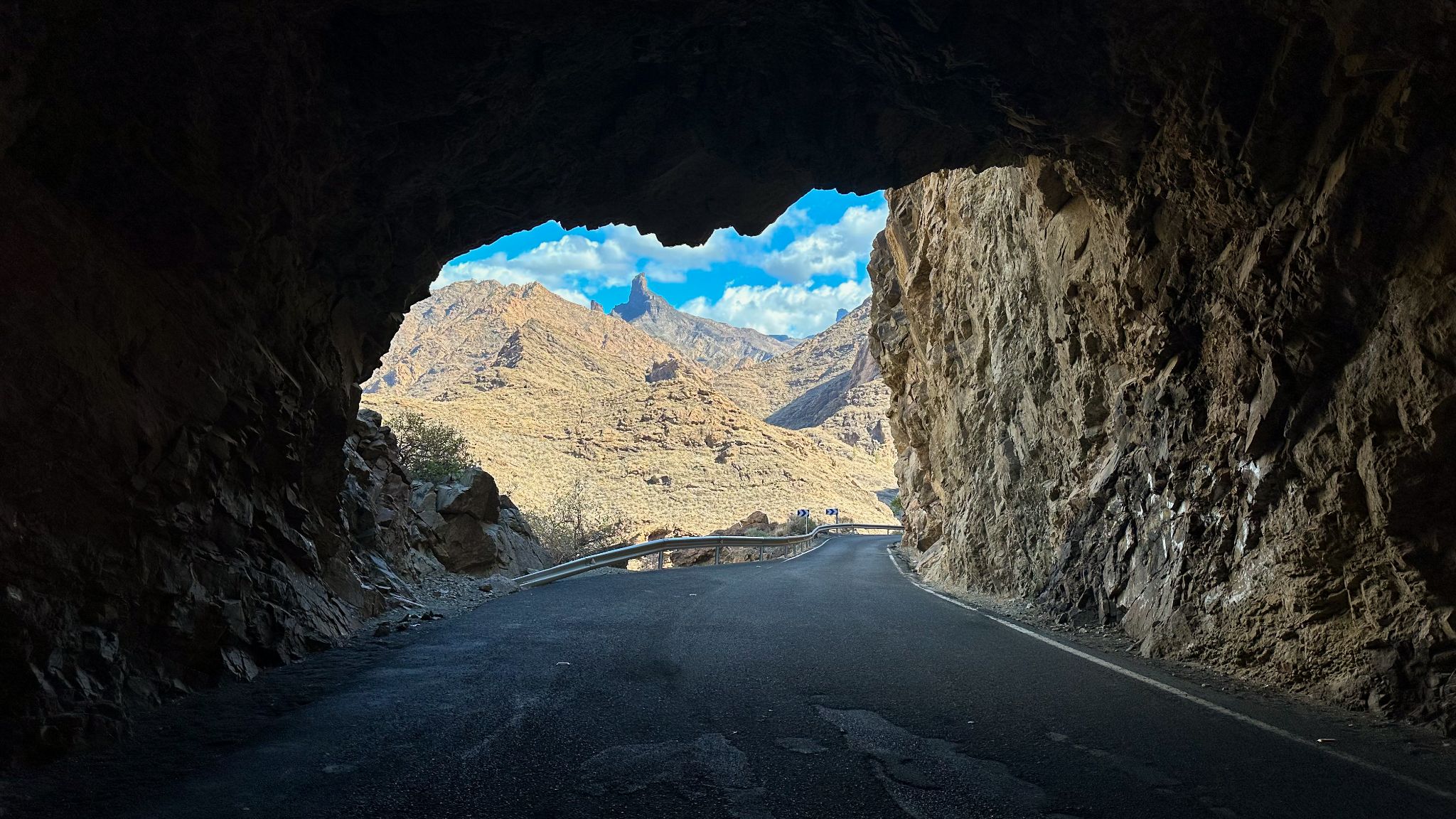
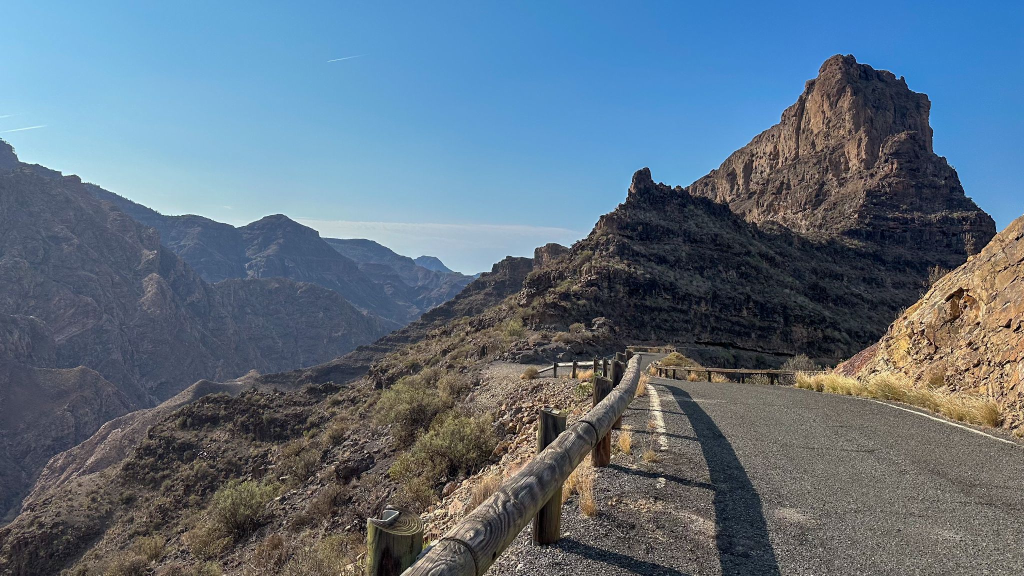
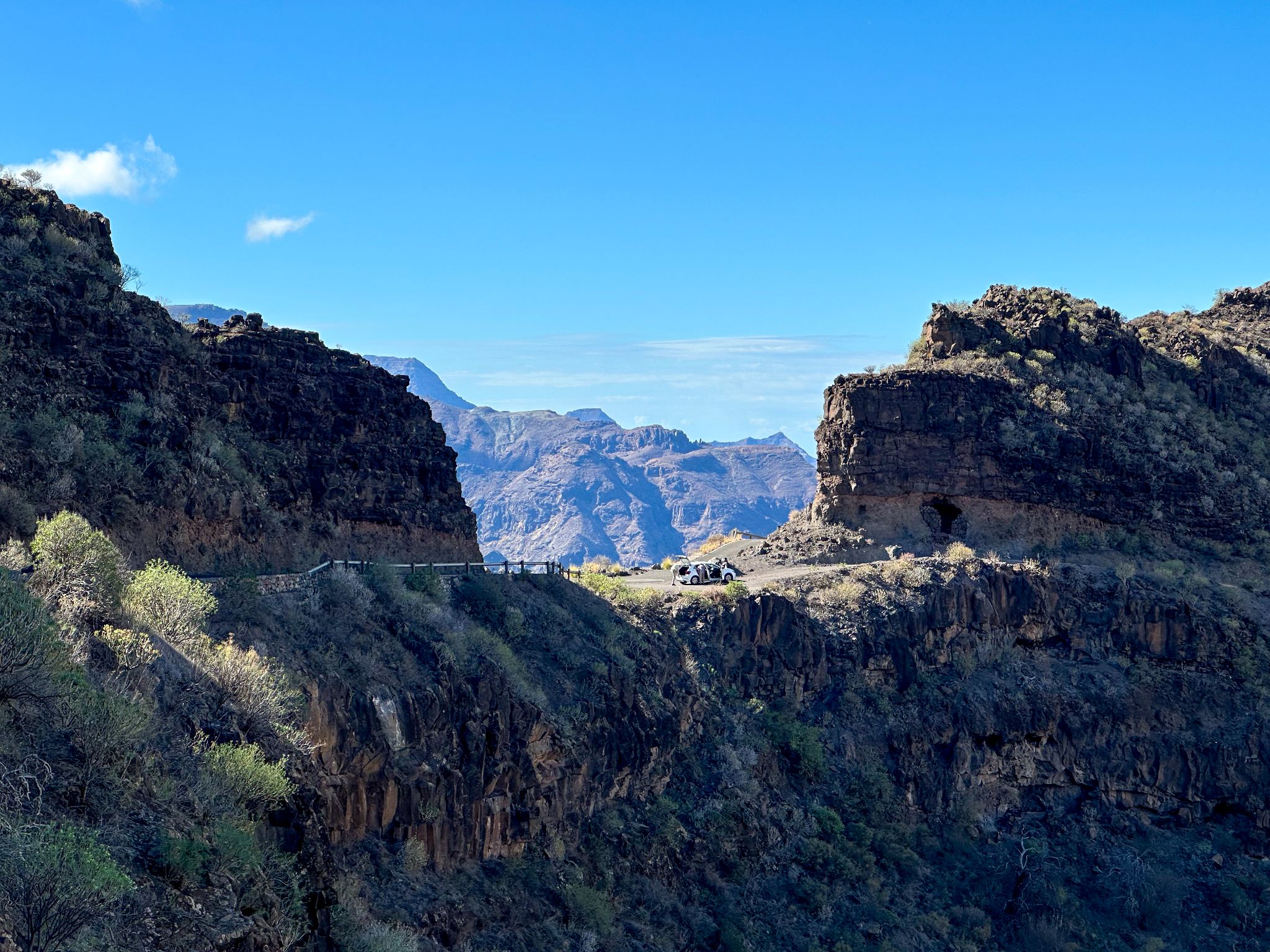
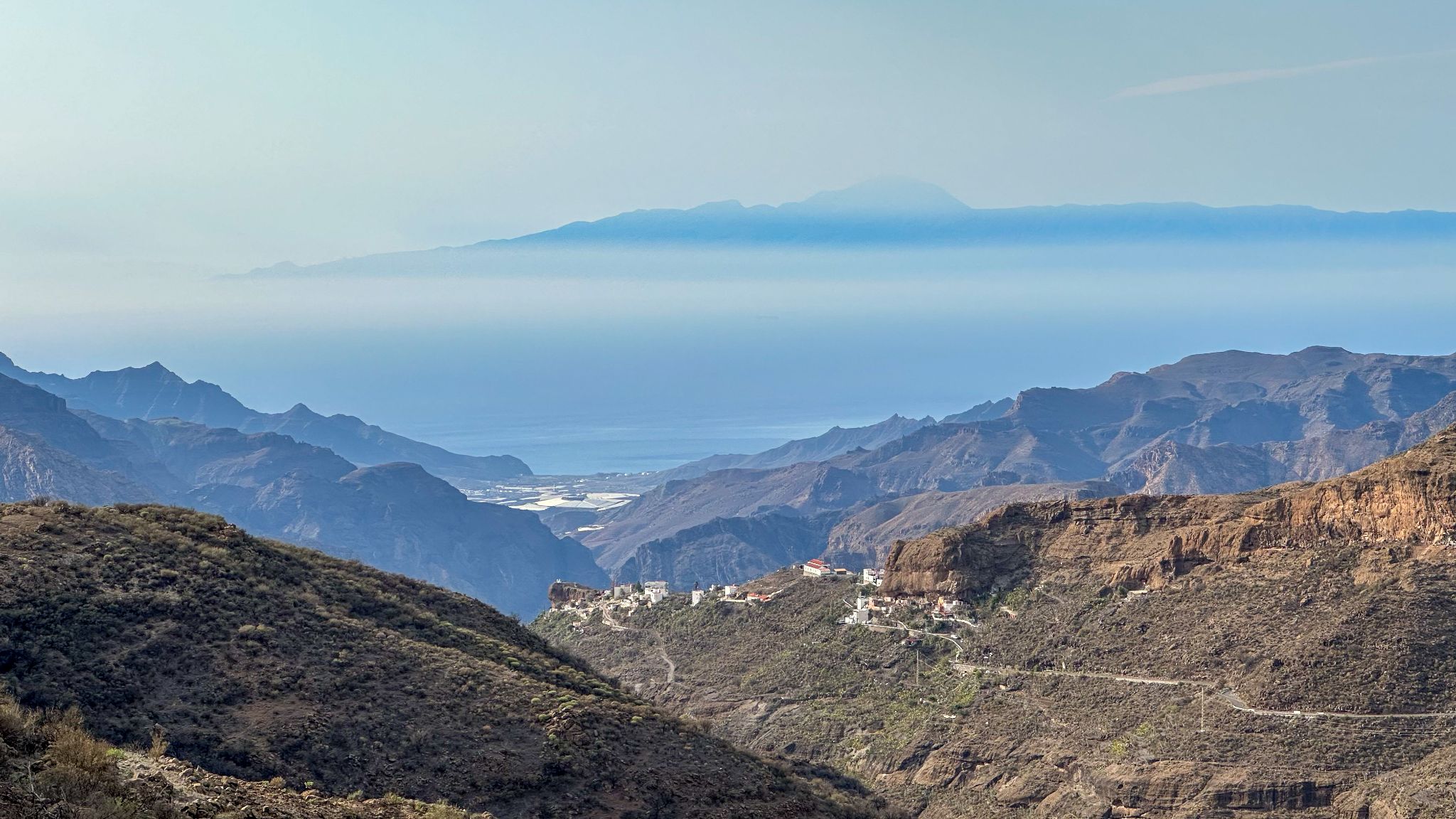
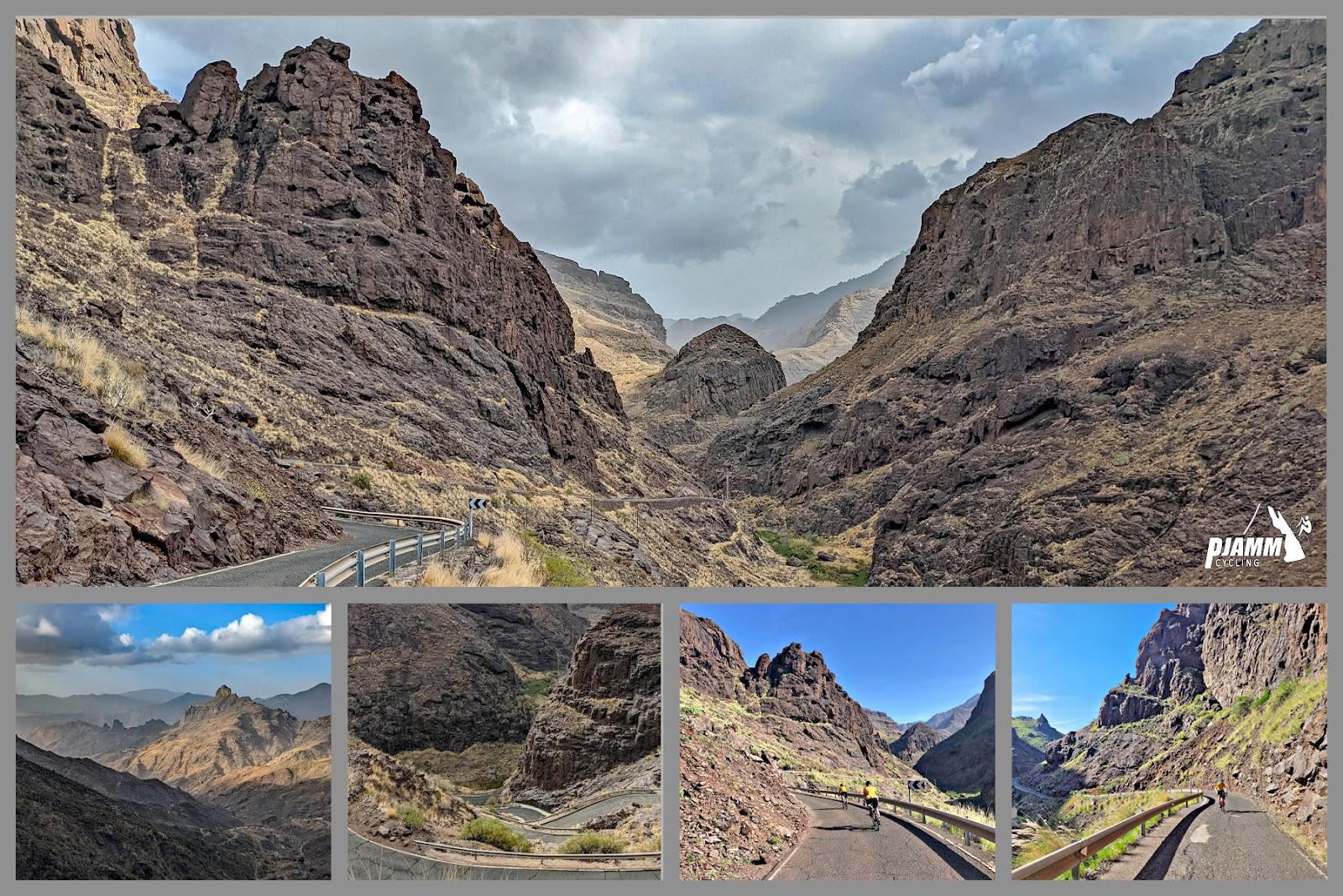
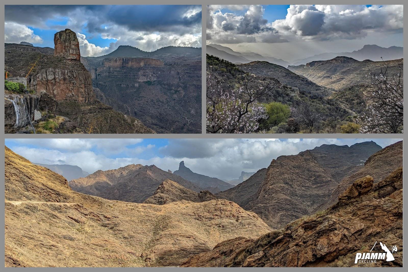
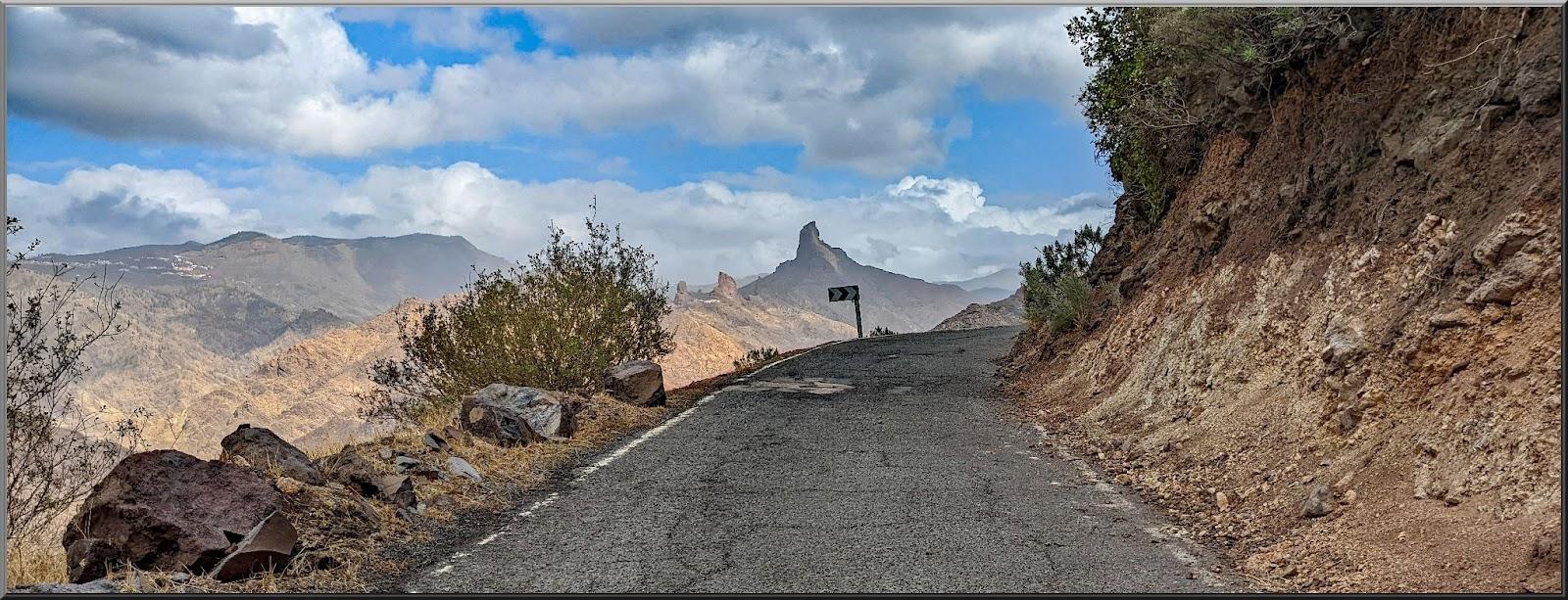
The desolate, otherworldly landscape makes you feel like you're riding on Mars, with sweeping views that are as humbling as they are breathtaking - on a clear day you can see all the way back down the valley and across to Mount Teide on Tenerife. Every pedal stroke up this beast earns you serious bragging rights - it's not just a climb, it's a rite of passage for anyone riding on Gran Canaria, and it's currently ranked among the 500 hardest climbs in the world.
Like the name says, it will make you cry.
PLAN YOUR ROUTE
 We've partnered with Sherpa-Map.com to bring you the best route planning tool. With a PRO Membership you can use this climb as a reference when creating your route.
 The Valley of the Tears climbs 20.6 km (12.8 mi) with 1,441 m (4,728 ft) of elevation gain from 98 m (321 ft) at Cercadillos to 1,373 m (4,504 ft) at the top. The overall average of 6.2% is misleading - the first 10 km (6.2 mi) on the GC-210 roll, including a couple of descents, and gain only about 320 m (1,050 ft).
Everything changes at the turn onto the GC-606 just past the Presa del Parralillo. The final 10.5 km (6.5 mi) average about 9.1%, starting with the hardest stretch of the day: the kilometer climbing away from the reservoir averages 13.9%. A short easing around El Carrizal is followed by four straight kilometers above 10% into and beyond El Toscón, before the last 3 km (1.9 mi) settle to a still-stiff 7.5-10%.
Steepest sections: 100 m (109 yd) at 19.4%, 0.5 km (0.3 mi) at 15.5%, 1 km (0.6 mi) at 14.1%, 2 km (1.2 mi) at 11.6%, 5 km (3.1 mi) at 10.4% and 10 km (6.2 mi) at 9.2%.
Roadway: Paved the entire way, but this is some of the roughest pavement on Gran Canaria, almost everywhere else being a cyclist's dream. The GC-606 in particular is narrow, patched and broken in places, with long stretches without guardrails - while there, we saw as many riders on mountain and gravel bikes as we did on road bikes, and descending it is especially bumpy. The lower GC-210 is a little better: the Cabildo repaved about 2.5 km (1.6 mi) of it between the Presa del Caidero de La Niña and La Aldea in July 2025. Both roads are prone to rockfall after heavy rain - Storm Therese closed the GC-210 between La Aldea and the Parralillo and the GC-606 through El Carrizal in March 2026, and both have since reopened after repairs. Check the Cabildo de Gran Canaria road updates before you go, especially after a wet spell.
Traffic: Very light, with extremely few cars, most of them driving very slowly to enjoy the scenery. The roads are narrow enough that a car and a rider pass easily, but two cars take some maneuvering, so stay alert on blind hairpins.
Parking: The climb starts on the GC-210 at the eastern edge of La Aldea de San Nicolás, so the easiest option is to park in town and roll out along the GC-210. Many riders instead ride in over the GC-200 from Mogán and make a full loop of it, returning via Ayacata and the GC-605.
There is nothing after you exit the main town of La Aldea de San Nicolás - no shops, no cafes and no reliable water on either the GC-210 or the GC-606, and the hamlets of El Carrizal and El Toscón have no services for riders. Fill every bottle and eat in La Aldea before you start. The first proper refuel is a few kilometers past the summit at Ayacata, where the GC-606 meets the GC-60.
Bring your lowest gearing - a compact crankset with a large cassette is a must for the ramps above the Parralillo, where short pitches pass 19%. The barranco is a heat trap with little shade, and because of where it sits most riders reach the GC-606 around midday, so carry more fluids than you think you need and wear sun protection. Wider, lower-pressure tires take some of the sting out of the rough surface.
Before heading out on any cycling adventure check out our Things to Bring on a Cycling Trip and use our interactive check list to ensure you don't forget anything.
La Aldea de San Nicolás is a quiet farming town of banana and tomato plantations on Gran Canaria's remote west coast, a world away from the resorts of the south. Its big day is 11 September, when the Fiesta del Charco sees thousands of people plunge into the lagoon at La Aldea's beach to catch mullet with their bare hands - a tradition rooted in a pre-Hispanic fishing technique. Just outside town beside the GC-200, Cactualdea Park is a large cactus garden with more than 1,000 species, marked by a giant cactus signpost you'll pass if you ride in from Mogán.
Locals call the GC-210 the Ruta de las Presas: it climbs past a chain of reservoirs, including the Caidero de La Niña and the Parralillo, that store water from the island's center to irrigate La Aldea's valley, so there are good photo stops before the real climbing begins. Just past the GC-606 turn, the GC-210 continues north as our Mirador Del Molino climb to Artenara.
See our Gran Canaria climb zone page for info on traveling to cycle on the island, and use our Routes in the Area tool to link this climb with others nearby.
ROUTE MAP
MEMBER RATING
CURRENT WEATHER
PJAMM TRIPS ADVENTURE STARTER BUNDLES
Check out PJAMM Adventure's prepackaged (self-guided) cycling trips. They will help you plan, document and conquer your next adventure.
NEARBY CLIMBS (0) RADIAL PROXIMITY
FROM No Climbs Found
MEMBER REVIEWS & COMMENTS
Let us know what you thought of this climb. Signup for our FREE membership to write a review or post a comment.
Already have an account?
LOG IN HERE