17.9
PDI
9.4 mi
DISTANCE
3,279 ft
GAINED
5.3 %
AVG. GRADE
FULL CLIMB STATS
Page Contributor(s): Bruce Hamilton and Stacy Topping, Midway, Utah
INTRO
Salita Tortora Marina Incrocio climbs from the beach at Tortora Marina, the northernmost town on Calabria's Tyrrhenian coast, into the empty hill country on the western edge of the Pollino National Park. The route covers 15.1 km (9.4 mi) and gains 999 m (3,279 ft) at a 5.3% average, finishing at a quiet road junction at 837 m (2,745 ft) in the hills above Aieta. By our rankings it is #1229 in the world.
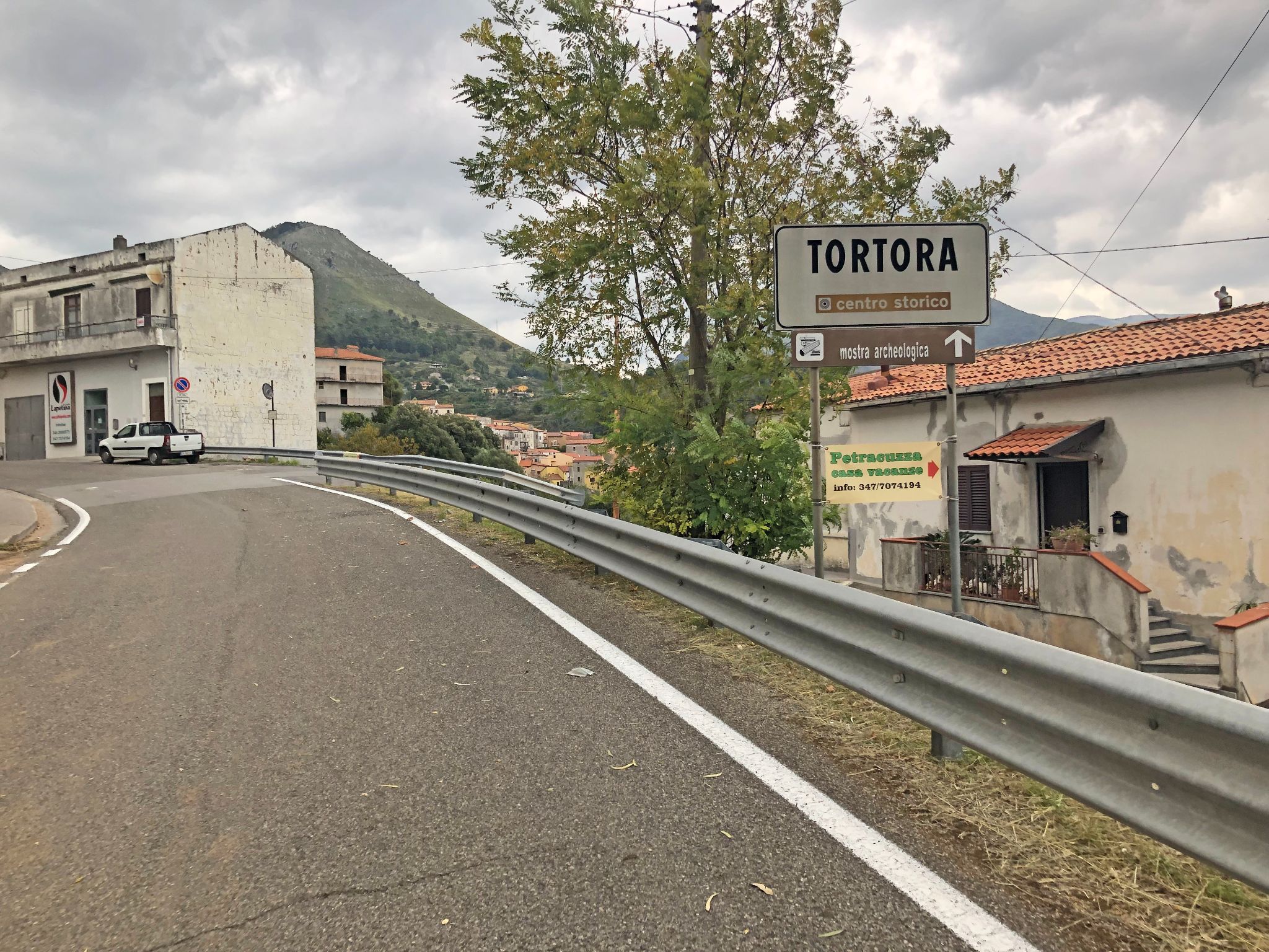
That 5.3% average undersells it. The route includes about 197 m (645 ft) of descending, and the climbing itself averages about 9.2%. The first 7 km (4.3 mi) rise mostly at 5-7% on the SP2 up to and through Tortora's old town, perched on its hill around 300 m (984 ft). After a short drop, the real work starts: the final 4 km (2.5 mi) average about 10%, with a steepest kilometer of 12.6% and a 500 m (0.3 mi) stretch at 15.6%.
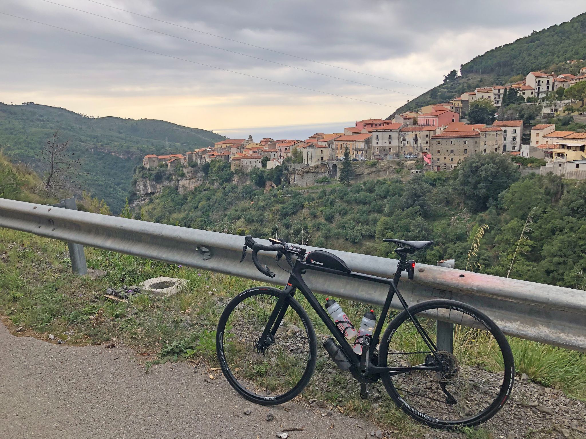
Our ambassadors Bruce Hamilton and Stacy Topping rode it and found that past Tortora the road shrinks to a narrow, winding lane through a remote and completely isolated landscape - old villages perched on bluffs with big views, then nothing but forest higher up. They saw no cars and no people for most of the climb.
PLAN YOUR ROUTE
 We've partnered with Sherpa-Map.com to bring you the best route planning tool. With a PRO Membership you can use this climb as a reference when creating your route.
The climb averages 5.3% over 15.1 km (9.4 mi), but it rides like three climbs in one. The opening 7 km (4.3 mi) on the SP2 rise from 34 m (111 ft) to about 400 m (1,312 ft) at a steady 5-7%, with a brief dip around km 4-5 as the road reaches Tortora's old town.
From km 7 the road drops about 80 m (262 ft) over 2 km (1.2 mi), then kicks up at 10.4% for a kilometer before a flat kilometer at around 430 m (1,411 ft).
The final 4 km (2.5 mi) are the crux: about 10% on average from 434 m (1,424 ft) to 837 m (2,745 ft), with the last two kilometers at 11.3% and 11.7%. The steepest kilometer averages 12.6%, the steepest 500 m (0.3 mi) 15.6%, and the shortest ramps touch 21%.
Roadway: The road is paved throughout. The lower half follows the SP2 di Tortora, a two-lane provincial road from the coast up to the old town. Beyond Tortora the route switches to narrow local roads that wind through the hills toward Aieta - expect tight bends, blind corners and steep ramps, and descend with care.
Traffic: Expect local traffic on the SP2 between Tortora Marina and the old town, busier in the summer beach season. Past Tortora, traffic is almost nonexistent - our ambassadors saw no cars for most of the climb.
Parking: Tortora Marina is a seaside resort with ordinary street parking near the start, which is easiest outside July and August. If you arrive by train, the Praia-Ajeta-Tortora station on the coast is a short ride away.
Gear: The final 4 km (2.5 mi) at about 10%, with pitches beyond 15%, call for a compact crankset and a 32- or 34-tooth low cog. Summers on this coast are very hot, so start early and carry plenty of water.
Provisions: Fill bottles in Tortora Marina. Tortora's old town, around km 5, is the last village on the route; beyond it the climb is remote, with no services at the finish.
Before heading out on any cycling adventure check out our Things to Bring on a Cycling Trip and use our interactive check list to ensure you don't forget anything.
Tortora rewards a stop on the way up. From Piazza Pio XII, narrow lanes lead through the old town to the church of San Pietro Apostolo, and Giuseppe Garibaldi stopped here on 3 September 1860 on his march to Naples, spending several hours at Palazzo Lomonaco-Melazzi. Just past town, the Tortora belvedere looks across the valley to Aieta, one of the Borghi più belli d'Italia, whose Renaissance Palazzo Martirano-Spinelli is a rare example of the style in Calabria.
The area's history runs much deeper. The SP2 passes Rosaneto, an open-air Paleolithic site that has yielded around a thousand stone tools and is among the oldest prehistoric sites in Italy, and Tortora's territory was home to Blanda, a Lucanian town taken by Rome in 214 BC that later became the Roman Blanda Julia.
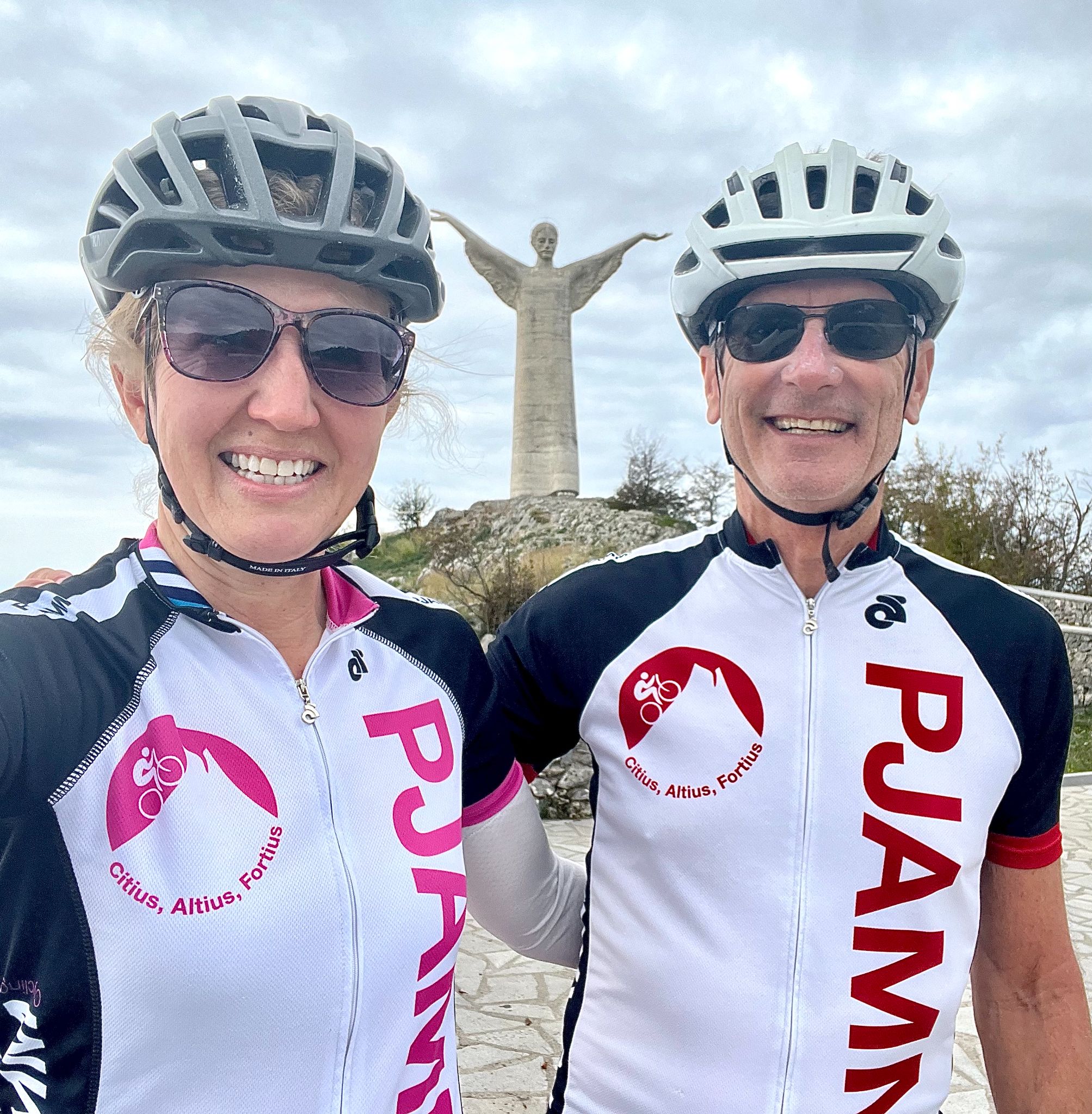
Our ambassadors suggest pairing this climb with the Cristo di Maratea climb just up the coast in Basilicata - see other climbs nearby, or build a custom route from here, with our Routes in the Area tool.
ROUTE MAP

MEMBER RATING
CURRENT WEATHER
PJAMM TRIPS ADVENTURE STARTER BUNDLES
Check out PJAMM Adventure's prepackaged (self-guided) cycling trips. They will help you plan, document and conquer your next adventure.
NEARBY CLIMBS (0) RADIAL PROXIMITY
FROM No Climbs Found
MEMBER REVIEWS & COMMENTS
Let us know what you thought of this climb. Signup for our FREE membership to write a review or post a comment.
Already have an account?
LOG IN HERE