
17
PDI
7.8 mi
DISTANCE
2,799 ft
GAINED
6.5 %
AVG. GRADE
FULL CLIMB STATS
INTRO
When the Calabrian coast is baking in July, people from the towns below head up here. Delianuova sits at around 630 m on the slopes of the Aspromonte and is already cooler than the coast, and the Piani di Carmelia above it are where locals go for shade, picnics and, in autumn, mushrooms.
The climb is 12.5 km (7.8 mi) long and gains 853 m (2799 ft) at an average of 6.5%, from 518 m to 1330 m. The first 4 km are an easy 4 to 6% out through the town. The second half, in the forest, is where it gets serious - 7 to 9% for most of the last 6 km, with the steepest kilometer at 10.0%.
Via Carmelia is a small road: one lane and a bit, patched asphalt, broadleaf woods lower down and tall pines higher up. It ends at a gravel clearing among the trees, with logs stacked by the road and often a couple of parked cars. There's no big view at the top - the forest is the point, and on a hot day the last few kilometers in the shade feel like a gift.
PLAN YOUR ROUTE
 We've partnered with Sherpa-Map.com to bring you the best route planning tool. With a PRO Membership you can use this climb as a reference when creating your route.
Delianuova climbs 12.5 km (7.8 mi) from 518 m (1700 ft) to 1330 m (4362 ft) at the Piani di Carmelia, an average of 6.5% with 853 m (2799 ft) of total climbing.
0 to 4 km: About 5%, climbing through Delianuova and out of town.
4 to 6 km: Around 6%.
6 to 8 km: About 7.4%, with one kilometer above 8% as the road enters the forest.
8 to 10 km: The hardest stretch, about 8.6%.
10 to 11 km: Eases to around 6%.
11 to 12.5 km: One more steep kilometer above 9%, then easier ground to the clearing.
4 to 6 km: Around 6%.
6 to 8 km: About 7.4%, with one kilometer above 8% as the road enters the forest.
8 to 10 km: The hardest stretch, about 8.6%.
10 to 11 km: Eases to around 6%.
11 to 12.5 km: One more steep kilometer above 9%, then easier ground to the clearing.
The steepest kilometer averages 10.0%, the steepest 0.5 km 11.5% and the steepest 2 km 8.8%.
Roadway: Asphalt to the top, but this is a narrow minor road with patched and broken asphalt in places, and leaves and pine needles on the surface in the forest. The climb ends at a gravel clearing at the Piani di Carmelia. Take care on the descent - the road is narrow and the surface changes often.
Traffic: Very light on weekdays. On summer weekends and holidays expect cars heading up to the Piani di Carmelia for picnics, and in autumn, mushroom hunters.
Parking: Park in Delianuova, where there's street parking around the center. At the top, the clearing at the Piani di Carmelia has room for a few cars if someone is meeting you.
Gear: A compact with a 30 or 32 at the back is enough for the 8 to 10% kilometers in the forest. Bring a layer - the top is over 1300 m and noticeably cooler than town, and the descent is in the shade.
Provisions: Fill your bottles and buy food in Delianuova. There's nothing on the road above town and no services at the clearing at the top.
Before heading out on any cycling adventure check out our Things to Bring on a Cycling Trip and use our interactive check list to ensure you don't forget anything.
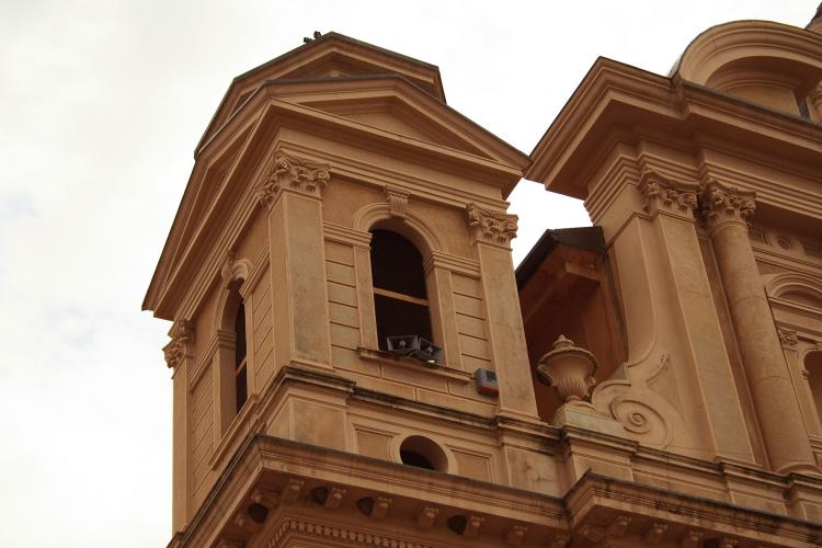
Delianuova is a good small base for riding the northern Aspromonte. Its big church of Maria Santissima Assunta is the landmark in town. The Aspromonte is a national park, so keep to the roads and respect any local rules on fires and access in summer.
Our SS183 climb starts just below Delianuova if you want a second climb from the same town. Down on the Costa Viola, our Bagnara Calabra - Solano Superiore and Pellegrina Bivio Solano pages cover Bagnara and the climbs up from the sea; the latter finishes on the SP3, the road that crosses the Aspromonte from Delianuova to Melito di Porto Salvo.
The Sentiero dei Piani di Carmelia hiking trail runs through the same woods if you want to stretch your legs after the ride.
ROUTE MAP

MEMBER RATING
CURRENT WEATHER
PJAMM TRIPS ADVENTURE STARTER BUNDLES
Check out PJAMM Adventure's prepackaged (self-guided) cycling trips. They will help you plan, document and conquer your next adventure.
NEARBY CLIMBS (0) RADIAL PROXIMITY
FROM No Climbs Found
MEMBER REVIEWS & COMMENTS
Let us know what you thought of this climb. Signup for our FREE membership to write a review or post a comment.
Already have an account?
LOG IN HERE
