30.2
PDI
5 mi
DISTANCE
3,171 ft
GAINED
12.2 %
AVG. GRADE
FULL CLIMB STATS
INTRO
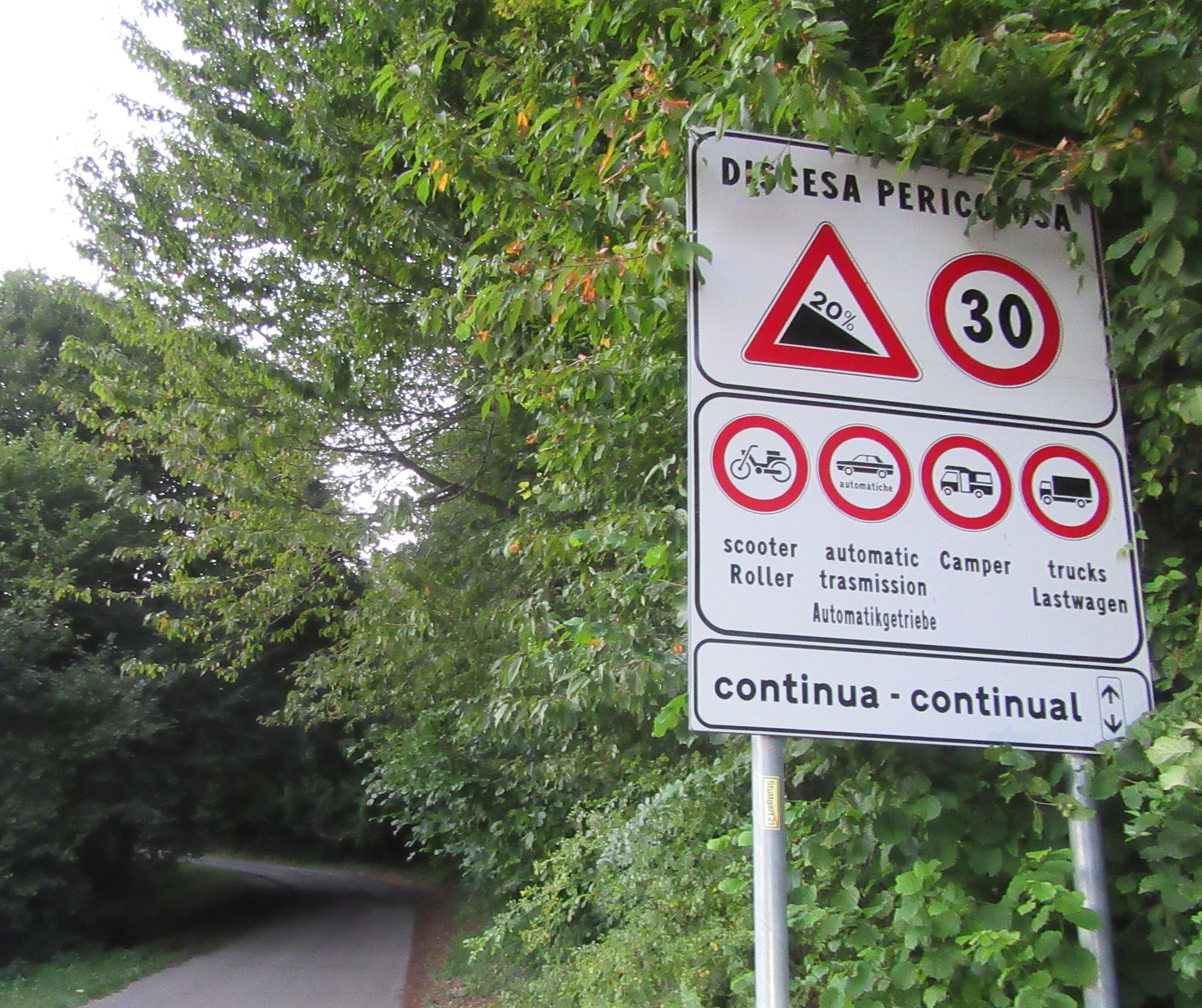
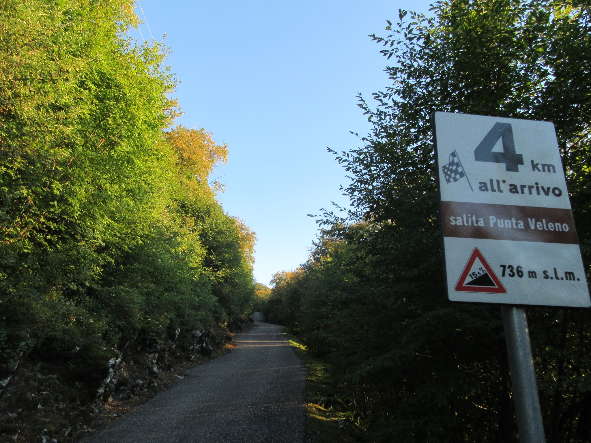
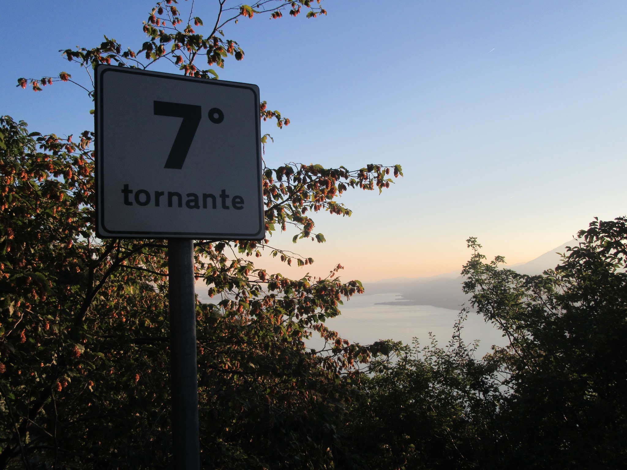
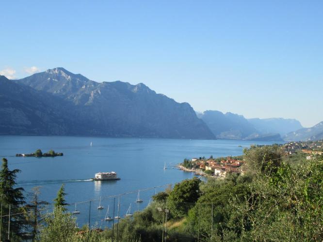
Oh MY!!! This is about as hard a paved road as you will ever climb - an absolute, Grade "A" bad ass climb. We begin near the shores of beautiful Lake Garda (in our opinion it rivals even Lake Como) and climb sharply above the water at double-digit grades from start to finish: 5.0 miles at a 12.2% average grade, gaining 3,171 feet to finish above 3,400 feet. Twenty switchbacks carry most of the elevation, spaced roughly every 0.2 miles - noticeably tighter than the famous Stelvio, whose hairpins average about a third of a mile apart.
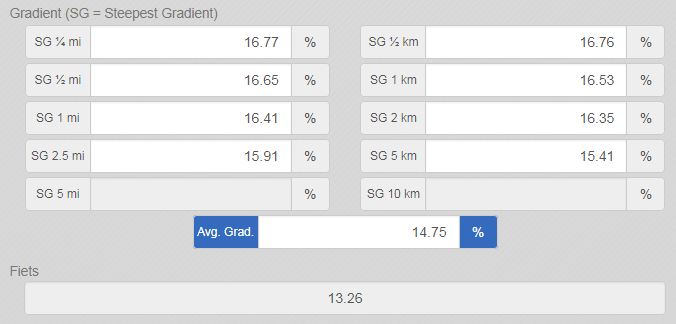
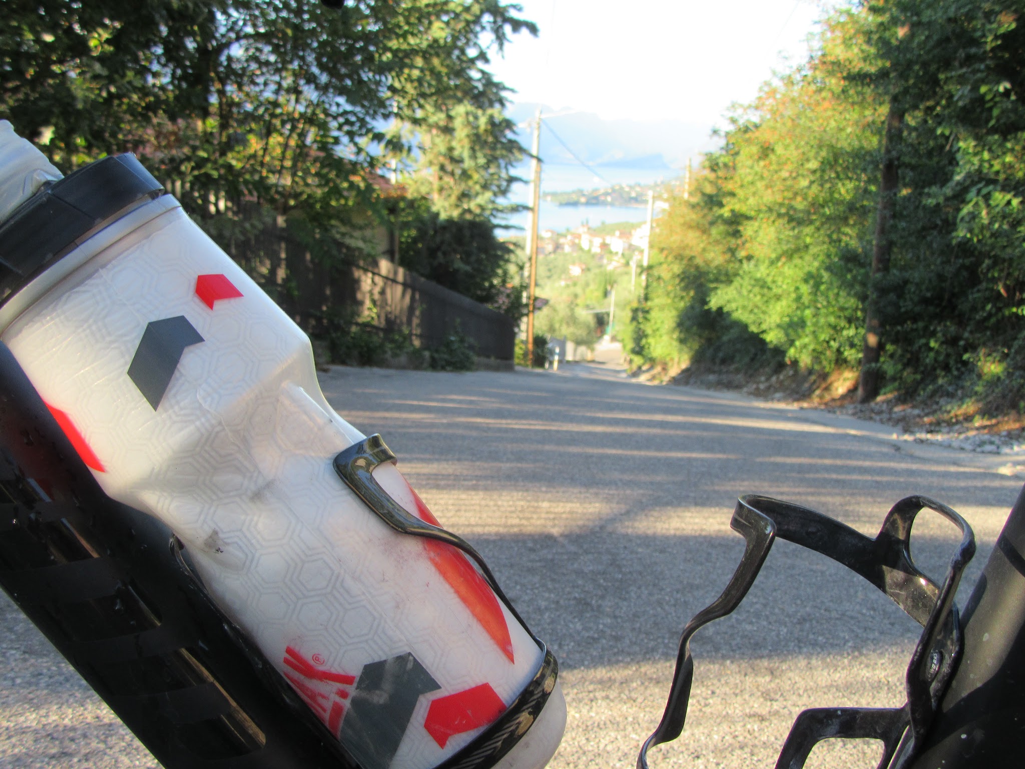
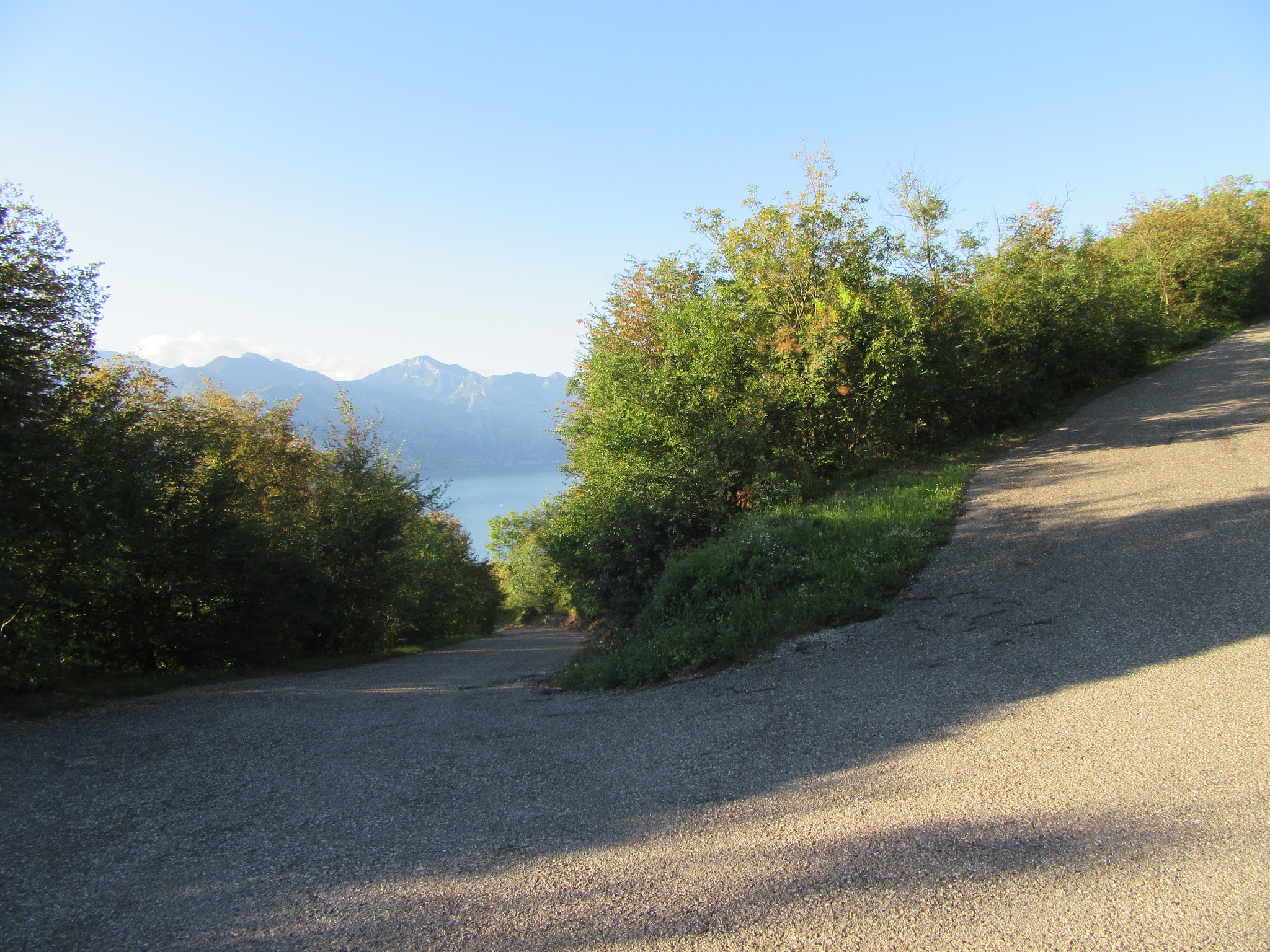
There are many steep segments (15-20%) that will justify several water breaks along the way - the steepest kilometer averages 16.5% and short pitches spike past 18%. Look back at each break and you're bound to see the pavement falling away behind you with the lake in the background.
The road was christened by Vincenzo Torriani, the Giro d'Italia's longtime organizer, in the 1970s, and Brenzone sul Garda still runs an annual time-trial race up it every September - the Extremerace Punta Veleno, open to road and mountain bikes alike.
Punta Veleno is regularly named among Italy's toughest paved climbs. Scanuppia, generally considered the country's hardest, is only about 33 miles away by road - we tackled both on back-to-back days. Arriving from the western shore, Lake Garda's bicycle ferry serves Castelletto di Brenzone directly, putting you right at the base of the climb.
PLAN YOUR ROUTE
 We've partnered with Sherpa-Map.com to bring you the best route planning tool. With a PRO Membership you can use this climb as a reference when creating your route.
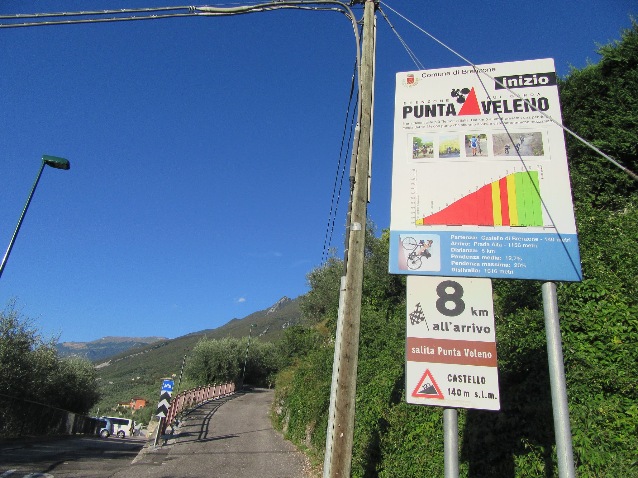
 This climb averages 12.2% over its 5.0 miles, gaining 3,171 feet from 289 feet to a finish above 3,400 feet - one of the steepest sustained grades in Italy. The steepest kilometer averages 16.5%, the steepest half-kilometer touches 16.7%, and short ramps spike past 18%.
There's essentially no flat or easy section anywhere on the route - the grade holds in double digits from the first switchback to the last, easing only in the final stretch past the last hairpin toward the true high point.
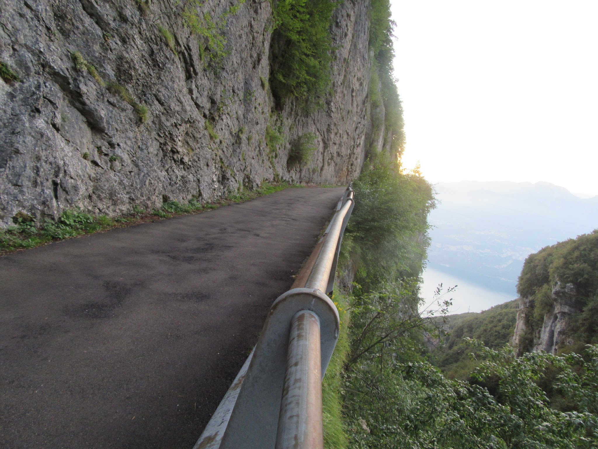
Roadway: Paved the entire way. This is a genuinely narrow, steep mountain road rather than a major route, but it's well-maintained enough to host an organized time-trial race every September, and recent visitor reports describe the asphalt as being in good condition. Ride it in dry conditions - the combination of tight switchbacks and 15-20%+ pitches leaves no margin for a wet or gravel-strewn surface.
Traffic: Light. This road serves the small hillside settlements around Prada and San Zeno di Montagna rather than functioning as a through route, so car traffic is minimal - though the narrow switchbacks mean you'll want to ride predictably and stay right on blind corners regardless.
Parking: Park in Castelletto di Brenzone near the lakefront or ferry terminal, close to the climb's start at Via Belvedere/Via Ugo Focolo - Map. Castelletto is also served directly by Lake Garda's bicycle and pedestrian ferry from the western shore.
There's a water fountain in Castelletto di Brenzone near the start - top off there, because nothing is confirmed along the climb itself once you leave town. The small hamlet of Prada, near the top of the route, may have limited seasonal options, but don't count on it. Given the sustained double-digit grades and the effort required, carry more water than you think you'll need and plan to be fully self-supported for the ride.
Before heading out on any cycling adventure check out our Things to Bring on a Cycling Trip and use our interactive check list to ensure you don't forget anything.
Castelletto di Brenzone and the surrounding Brenzone sul Garda comune sit on Lake Garda's quieter eastern shore, known locally as the "Riviera degli Ulivi" for its olive groves - a lower-key, less touristy base than Malcesine or Torri del Benaco just up and down the coast. The lakefront here is a good place to recover post-climb with a swim.
If you're building a Lake Garda cycling trip around this climb, note that Scanuppia - widely considered Italy's hardest climb - is under an hour away by car on the western shore, making a genuinely brutal back-to-back pairing for anyone chasing Italy's steepest roads. See other climbs in the area with our Routes in the Area tool before you plan the rest of your trip.
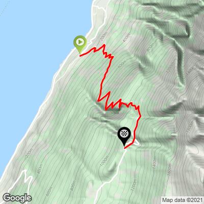
ROUTE MAP
MEMBER RATING
CURRENT WEATHER
PJAMM TRIPS ADVENTURE STARTER BUNDLES
Check out PJAMM Adventure's prepackaged (self-guided) cycling trips. They will help you plan, document and conquer your next adventure.
NEARBY CLIMBS (0) RADIAL PROXIMITY
FROM No Climbs Found
MEMBER REVIEWS & COMMENTS
Let us know what you thought of this climb. Signup for our FREE membership to write a review or post a comment.
Already have an account?
LOG IN HERE
ilmasso
Is called " Punta Veleno " not "Velone"
JohnJohnson
I made the change ilmasso - thank you. Have you ridden it? It is brutal and really enjoyed this climb.