18.7
PDI
7.8 mi
DISTANCE
2,989 ft
GAINED
6.8 %
AVG. GRADE
FULL CLIMB STATS
Page Contributor(s): Ard Oostra, Montreux, Switzerland
INTRO
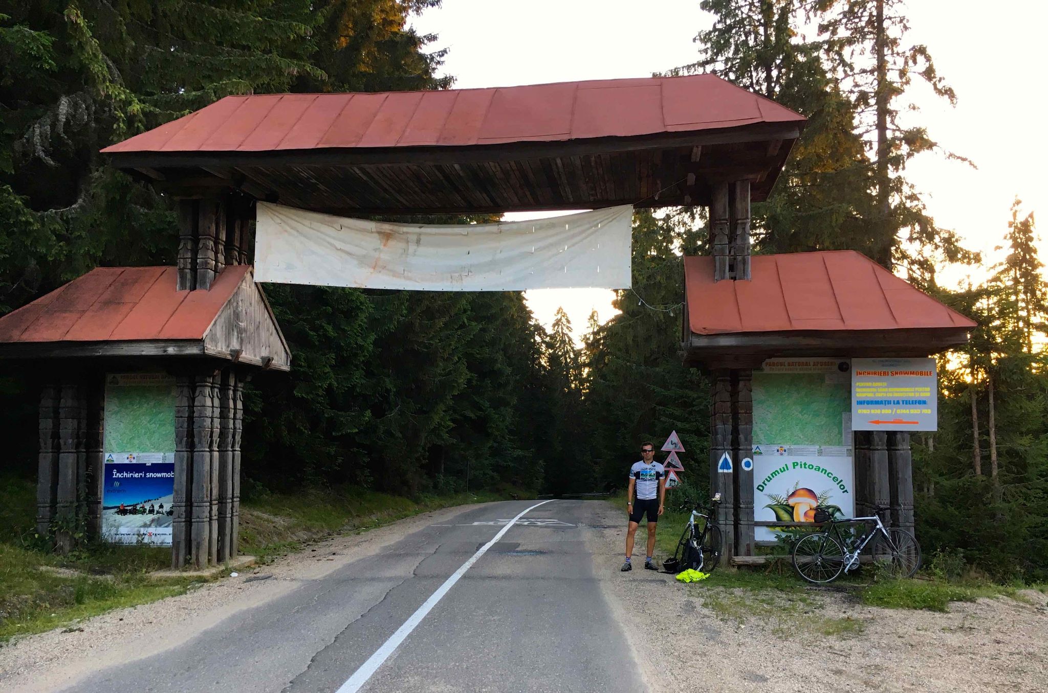
Stâna de Vale climbs 12.5 km (7.8 mi) from the village of Budureasa, at 360 m (1181 ft), to 1209 m (3968 ft) at the edge of the Stâna de Vale mountain resort in the Apuseni Mountains of western Romania. It gains 911 m (2989 ft) at an average of 6.8% and currently ranks #1141 in the world in our database.
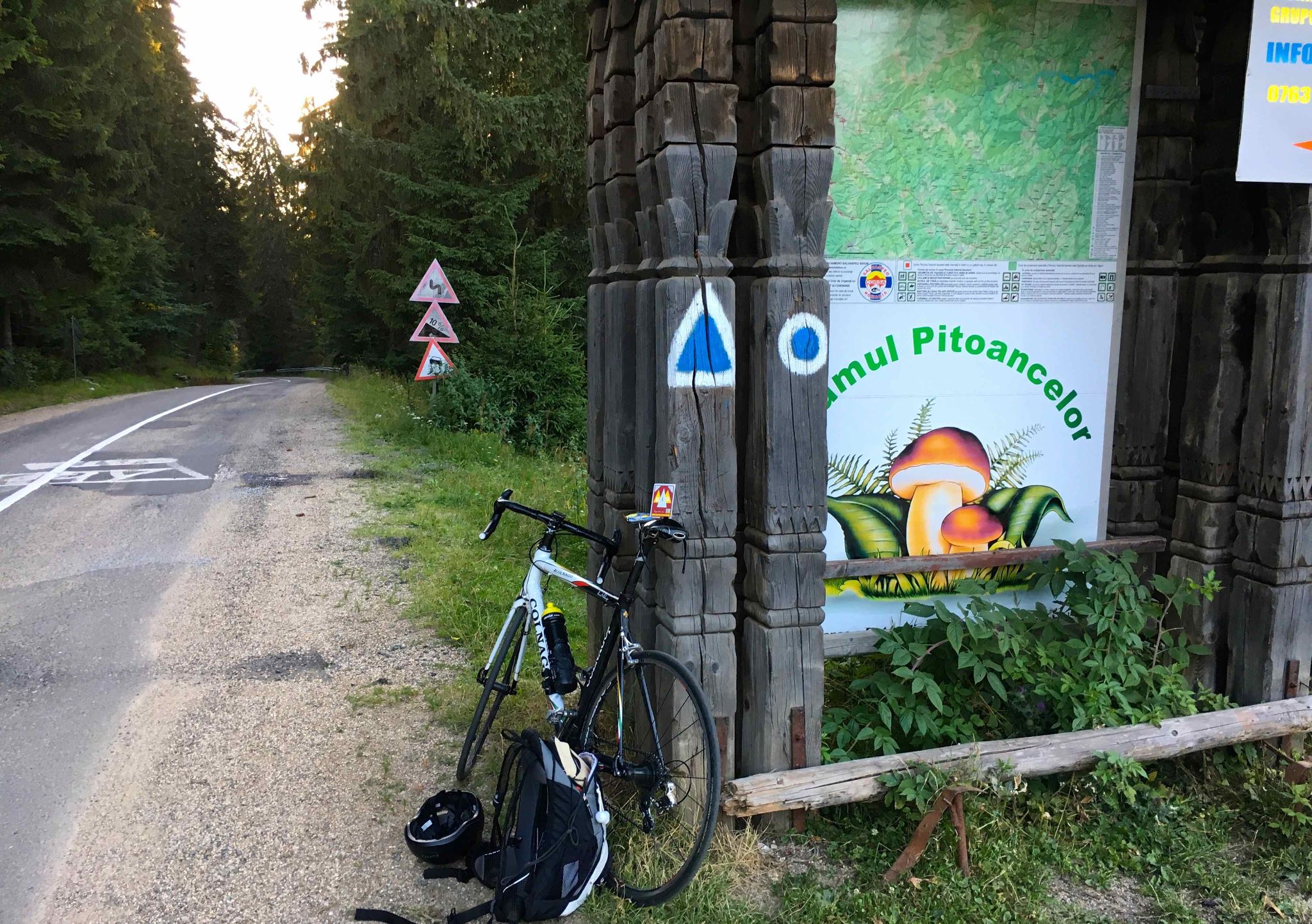
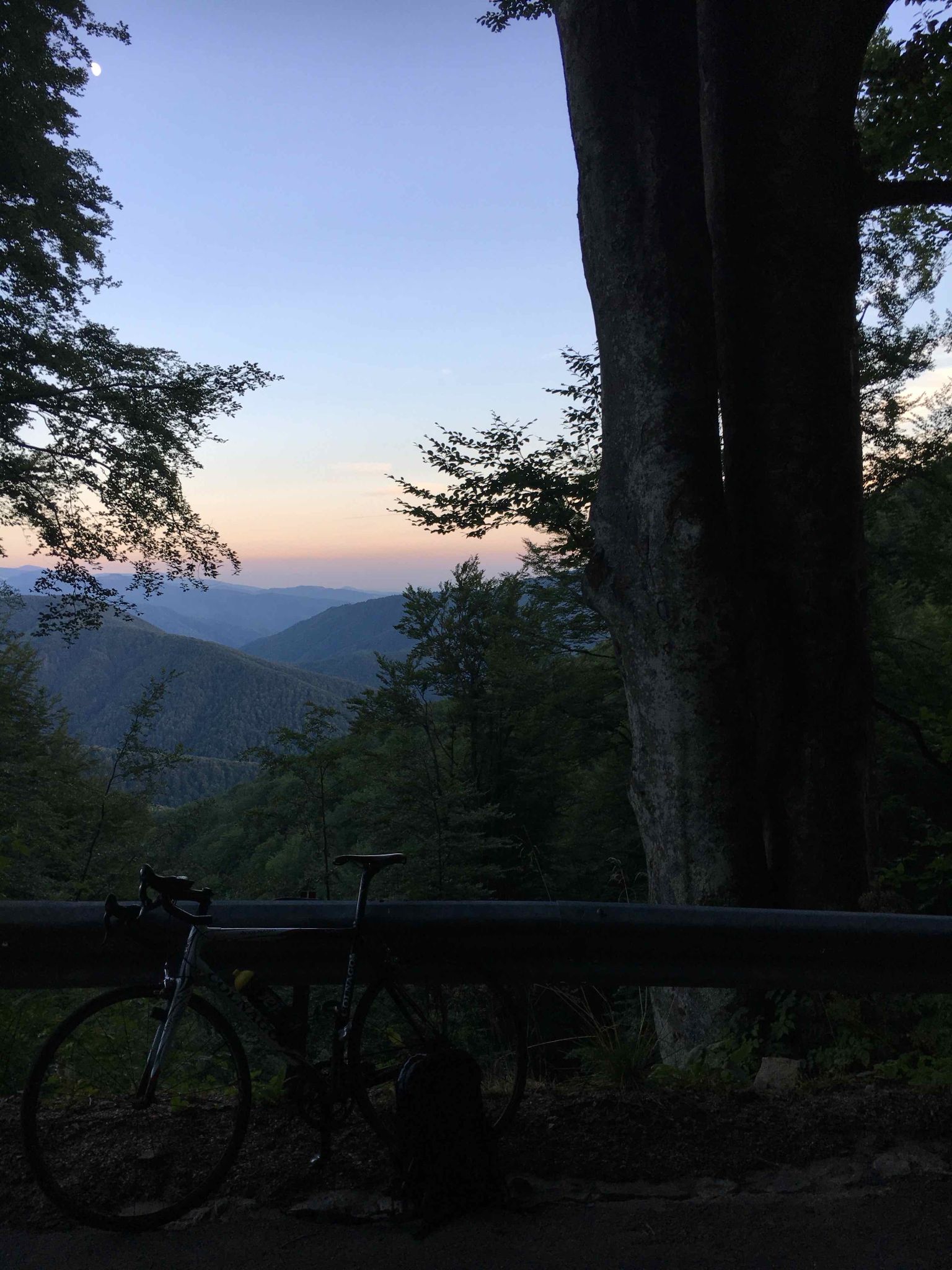
This is a steady, rhythmic climb rather than a brutal one. After an easy first kilometer through Budureasa, the road settles in at 6-8% and stays there almost to the top, winding through 13 hairpins as the beech forest of the lower slopes gives way to spruce. The one real test comes a little before halfway, where a kilometer averages close to 12%. There are no long flat sections to recover on, but there are no walls either, and the forest keeps most of the road in shade.
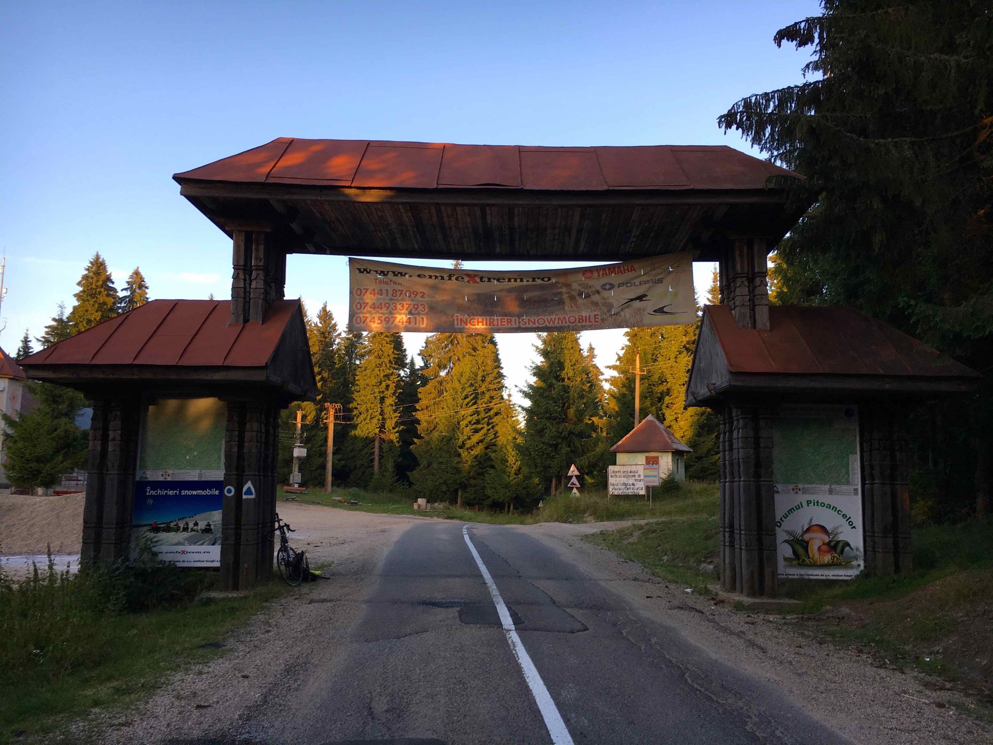
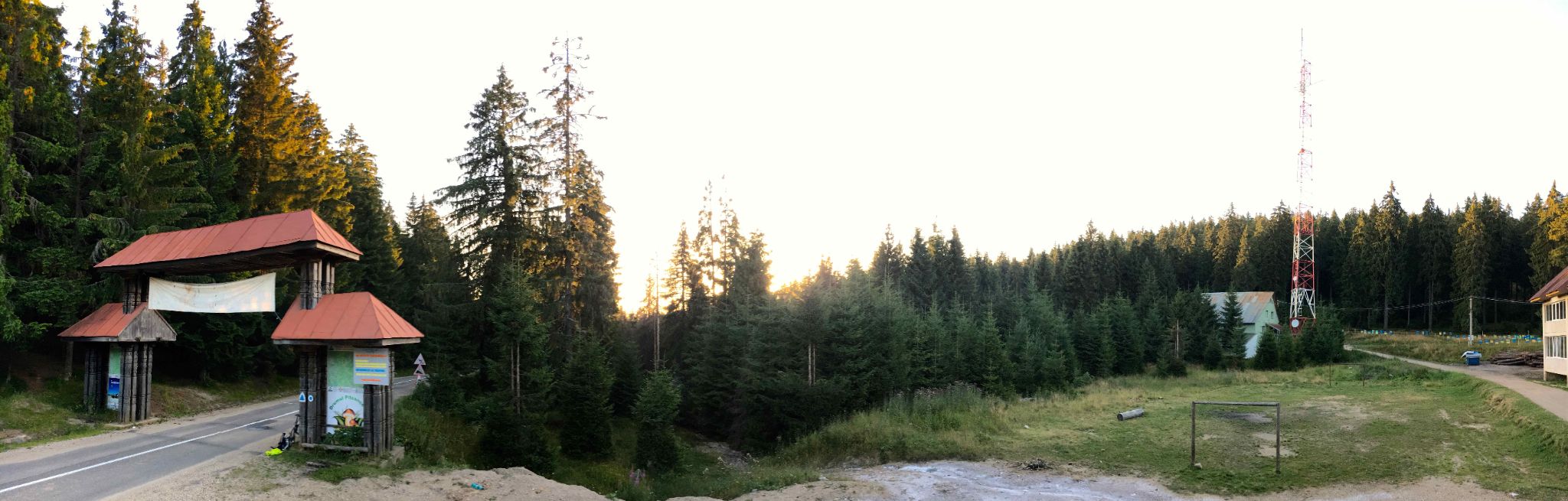
Stâna de Vale has drawn visitors for well over a century. Its first hotel, the nine-room Siberia, opened in 1883, and the resort later added villas, a chapel and an episcopal residence. It is known for its mineral springs - above all Izvorul Minunilor, the "Spring of Miracles," where water bursts from a boulder beside the road - and for some of the heaviest snowfall in Romania. The road you climb, DJ764A, is the southern leg of the Drumul Apusenilor, which continues north from the resort on DJ108J toward Remeți.
PLAN YOUR ROUTE
 We've partnered with Sherpa-Map.com to bring you the best route planning tool. With a PRO Membership you can use this climb as a reference when creating your route.
Stâna de Vale is 12.5 km (7.8 mi) long and gains 911 m (2989 ft) at an average of 6.8%, from 360 m (1181 ft) in Budureasa to 1209 m (3968 ft) at the top.
The gradient is unusually consistent. The first kilometer eases you in at about 5.5%, and after that nearly every kilometer falls between 6% and 8%. The exception is the stretch from roughly km 4.5 to km 5.6 (mile 2.8 to 3.5), which holds the steepest kilometer of the climb at 11.9%, followed by a brief dip that lets you recover. The second half is steady again, with the last notable push around km 10-11 (mile 6.2-6.8) at close to 9%.
The steepest mile averages 10.1%, the steepest 2 km (1.2 mi) average 9.4% and the steepest 5 km (3.1 mi) average 7.5%. There are about 62 m (202 ft) of descending along the way, mostly short dips between ramps.
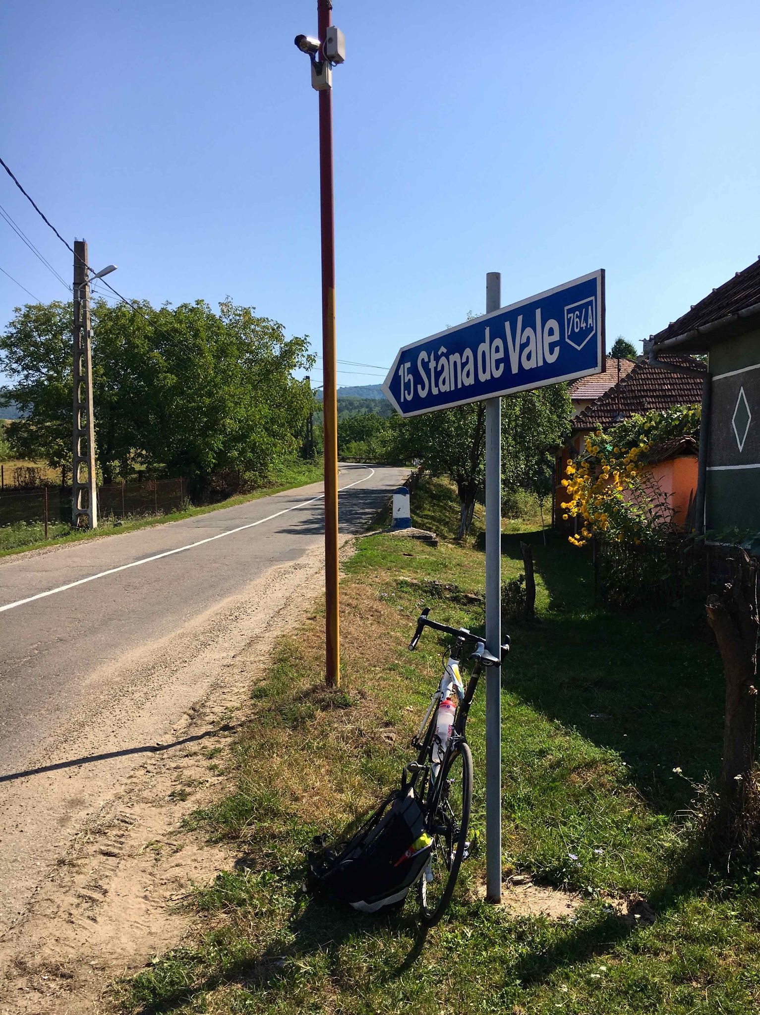
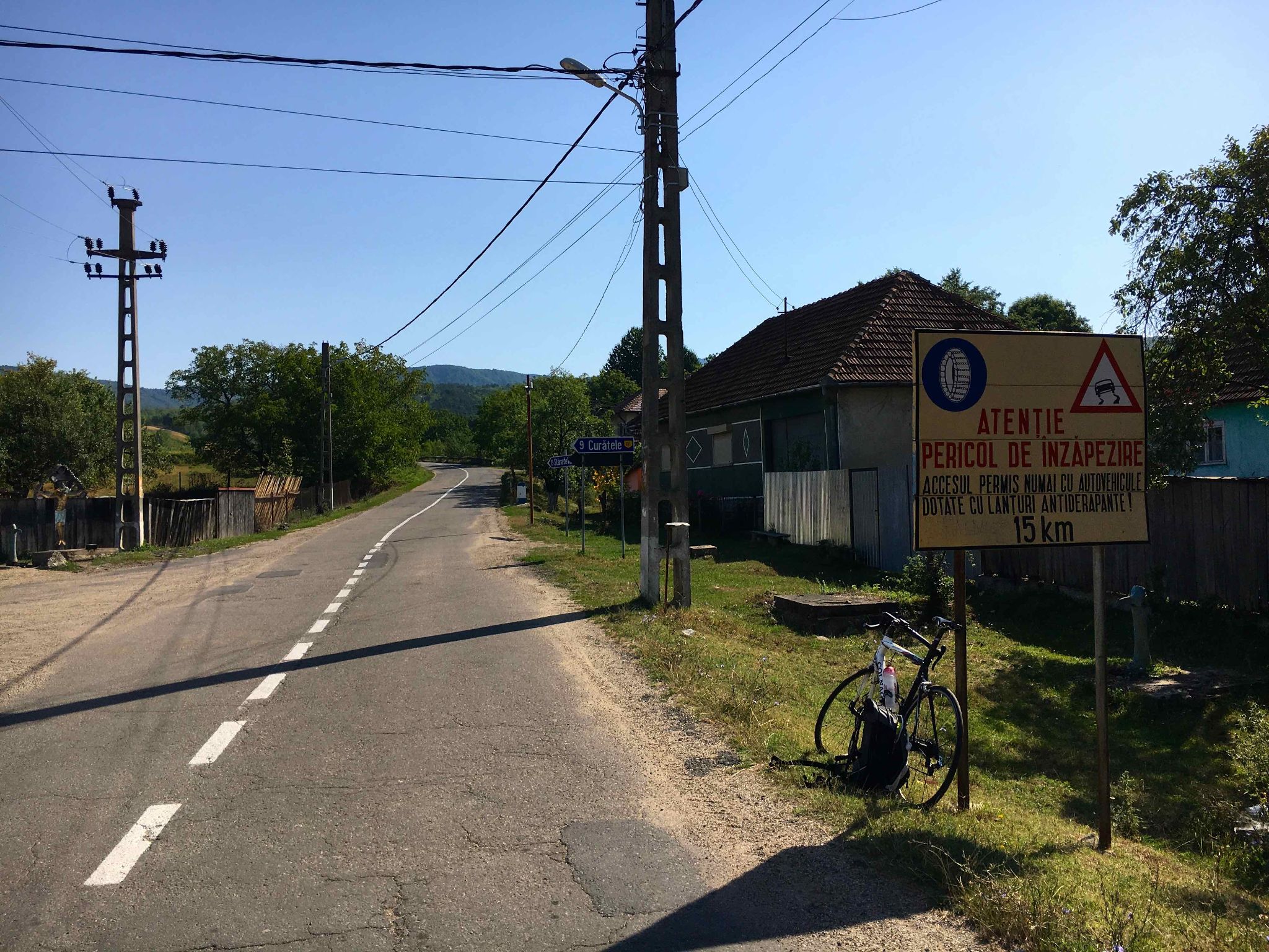
Roadway: Paved the entire way on county road DJ764A from Budureasa to the resort. DJ764A is part of the Drumul Apusenilor, a 56.3 km (35.0 mi) route of county roads across the Bihor Mountains rebuilt under an EU-funded regional project, and April 2024 Street View imagery shows smooth, marked two-lane asphalt with guardrails on the exposed bends. Stâna de Vale gets some of the heaviest snowfall in Romania, and roadside signs in the valley warn of the risk of being snowed in, so expect snow and ice on the upper hairpins outside the summer months.
Traffic: Generally light. Beyond Budureasa, the road's main job is serving the resort, so most of the cars you'll meet are visitors heading up for the day or the weekend. Expect the most traffic on summer and winter weekends, when the resort is busiest.
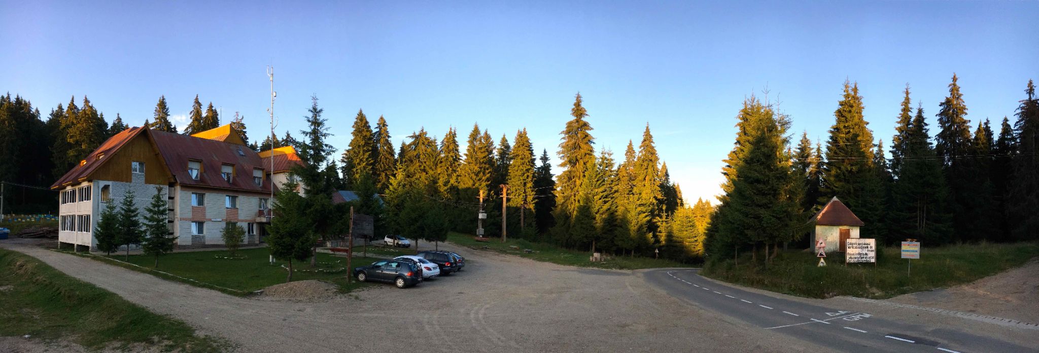
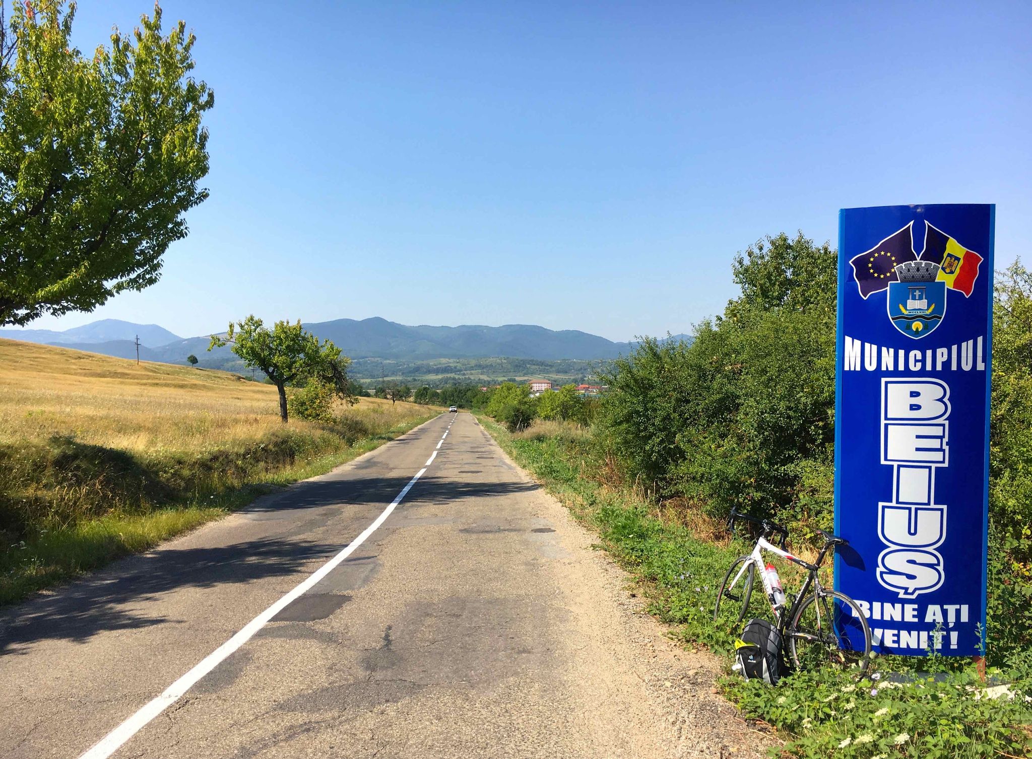
Parking: Budureasa is a small village with no dedicated lot, so riders usually leave a car on the roadside in the village, away from the main road. Beiuș, 11 km (6.8 mi) to the west, is the nearest town with full services if you'd rather start there and add a flat warm-up. At the top, the resort has parking beside its hotels and villas.
Provisions: There are no shops on the climb itself, so stock up in Beiuș or Budureasa before you start. At the top, Hotel Iadolina in the center of the resort has a restaurant, and Izvorul Minunilor, the resort's famous spring, is where visitors fill their bottles.
Gear: The finish is about 850 m (2790 ft) higher than Budureasa, and the resort's mountain climate is cool and often wet, so pack a rain jacket and a warm layer for the descent even in summer. With gradients that rarely leave the 6-8% range, a standard compact crankset is plenty.
Before heading out on any cycling adventure check out our Things to Bring on a Cycling Trip and use our interactive check list to ensure you don't forget anything.
Beiuș is the natural base for this climb. It's about 86 km (53 mi) by road from Oradea, the county seat, and is reachable by train, with daily buses running on to Stâna de Vale.
Stâna de Vale itself is a good place to spend a day off the bike. The resort has 16 marked hiking trails, a small ski slope with a T-bar lift, and a cluster of mineral springs, Izvorul Minunilor being the best known. The Iadolina waterfall on the Valea Iadului is about 11 km (6.8 mi) away by a rough forest road that's better suited to hiking or a gravel bike than a road bike, and the Bear Cave (Peștera Urșilor) at Chiscău and the multi-level Meziad Cave are both within reach of Beiuș.
If you want a bigger ride, the paved Drumul Apusenilor continues north from the resort on DJ108J toward Remeți and on into Cluj County. Weather here changes quickly and the resort is far cooler and wetter than the valley, so check current conditions before you go with our Weather tool.
ROUTE MAP

MEMBER RATING
CURRENT WEATHER
PJAMM TRIPS ADVENTURE STARTER BUNDLES
Check out PJAMM Adventure's prepackaged (self-guided) cycling trips. They will help you plan, document and conquer your next adventure.
NEARBY CLIMBS (0) RADIAL PROXIMITY
FROM No Climbs Found
MEMBER REVIEWS & COMMENTS
Let us know what you thought of this climb. Signup for our FREE membership to write a review or post a comment.
Already have an account?
LOG IN HERE