32.7
PDI
103.9 mi
DISTANCE
12,554 ft
GAINED
0.4 %
AVG. GRADE
FULL CLIMB STATS
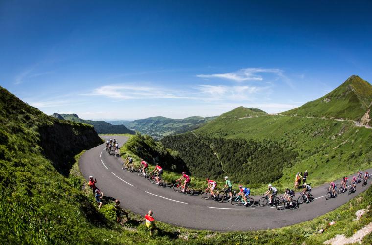
Page Contributor(s): Photos © A.S.O. / Tour de France
INTRO
Climbs, cols, and côtes of Stage 10 (Mountain):
Côte de Pailherols
Col de la Griffoul
Col de Prat de Bouc
Côte de Murat
Puy Mary/Pas de Peyrol
Click on "Full Summary" to see a full summary of Tour de France Stage 10, or see our 2026 Tour de France page for the best way to view, analyze, and filter Tour de France stage routes and climbs. See also All time hardest climbs of the Tour de France.
PLAN YOUR ROUTE
See more details and tools regarding this climb's grade via our interactive Profile Tool.
Information Not Available
If you have any information regarding this climb, we'd like to hear from you. Click the CONTRIBUTE button to share your thoughts with us.
Information Not Available
If you have any information regarding this climb, we'd like to hear from you. Click the CONTRIBUTE button to share your thoughts with us.
Before heading out on any cycling adventure check out our Things to Bring on a Cycling Trip and use our interactive check list to ensure you don't forget anything.
Information Not Available
If you have any information regarding this climb, we'd like to hear from you. Click the CONTRIBUTE button to share your thoughts with us.
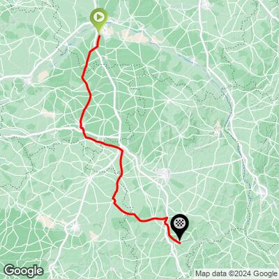
ROUTE MAP
MEMBER RATING
CURRENT WEATHER
PJAMM TRIPS ADVENTURE STARTER BUNDLES
Check out PJAMM Adventure's prepackaged (self-guided) cycling trips. They will help you plan, document and conquer your next adventure.
NEARBY CLIMBS (0) RADIAL PROXIMITY
FROM No Climbs Found
MEMBER REVIEWS & COMMENTS
Let us know what you thought of this climb. Signup for our FREE membership to write a review or post a comment.
Already have an account?
LOG IN HERE