21.8
PDI
17.7 mi
DISTANCE
4,330 ft
GAINED
4.6 %
AVG. GRADE
FULL CLIMB STATS
Page Contributor(s): Lisa Irizarry and Matt Jiang, NY, NY
INTRO
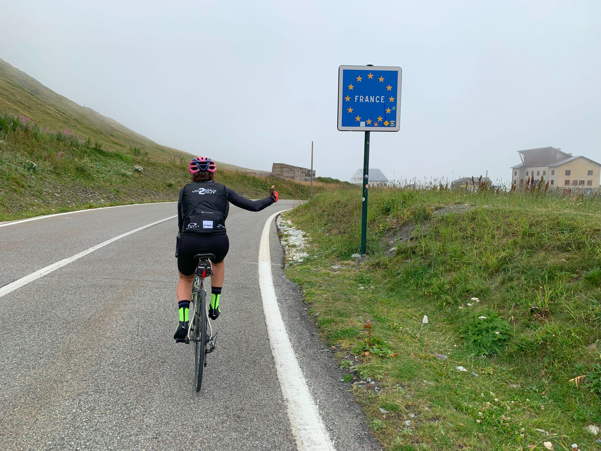
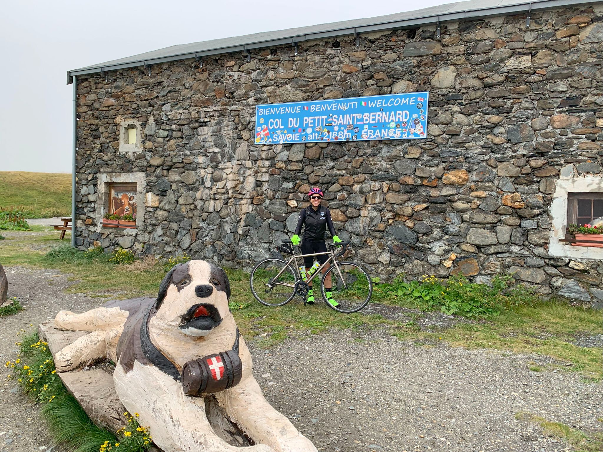
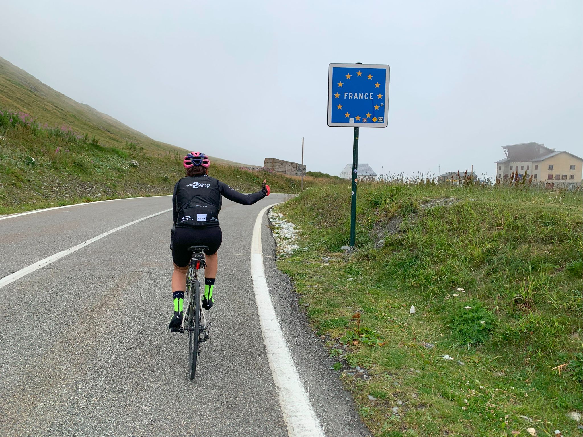
The Col du Petit Saint Bernard climbs 28.5 km (17.7 mi) from Séez, just above Bourg-Saint-Maurice, to the French-Italian border, gaining 1,320 m (4,330 ft) at a 4.6% average grade. The pass is signed at 2,188 m (7,178 ft) and links Savoie's Tarentaise valley with Italy's Aosta Valley, dropping away on the far side toward La Thuile.
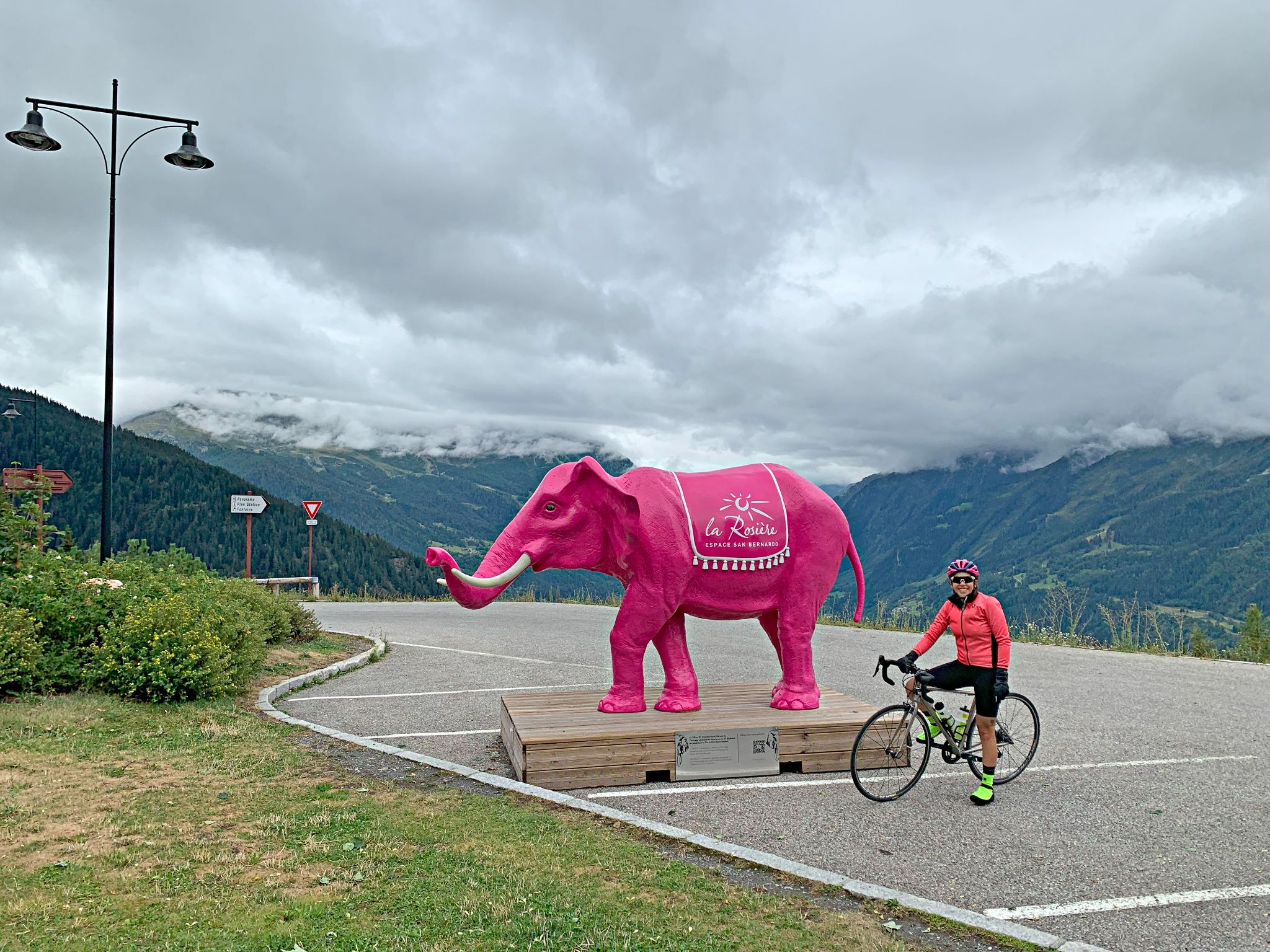
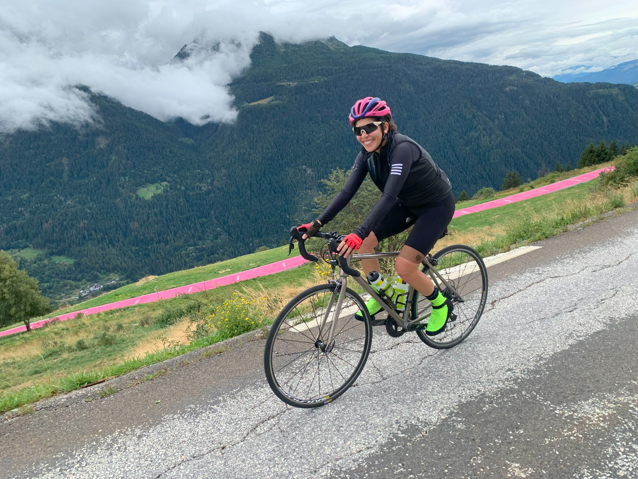
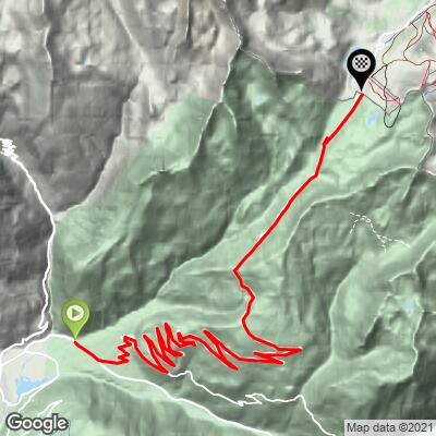
This is the classic D1090 ascent, and its challenge is length rather than steepness. Our data shows no real wall: the steepest mile averages 6.0%, and most kilometers sit between 4% and 5.5%, so it rewards a steady pace and a gear you can spin. The road works up the valley through wide switchbacks and bends, passes La Rosière about 20 km (12.4 mi) in, and then opens into wide alpine terrain for the run to the col. For a steeper, quieter variation through Montvalezan and the painted Pink Road, see our Col du Petit Saint-Bernard (Pink Road Route) page.
People have crossed here for a very long time. The Romans built a road over the pass (the Alpis Graia), and some scholars have proposed it as the route Hannibal took over the Alps in 218 BCE, though that identification is debated. A hospice for travelers has stood on the col since the 11th century, traditionally credited to Bernard de Menthon, and it still runs an inn-restaurant in season. The Tour de France came over the col in 2009 on a stage from Martigny to Bourg-Saint-Maurice, its first visit in more than 40 years.
The pass is closed by snow through the winter and is usually open from about late May to October. In 2026 it reopened on May 24 after works to rebuild a retaining wall on a slow-moving landslide section of the D1090 above La Rosière, with alternating single-lane traffic at the site early in the season. Check Savoie's road information before riding early or late in the year.
PLAN YOUR ROUTE
 We've partnered with Sherpa-Map.com to bring you the best route planning tool. With a PRO Membership you can use this climb as a reference when creating your route.
 The Col du Petit Saint Bernard covers 28.5 km (17.7 mi) from 871 m (2,856 ft) at Séez to about 2,190 m (7,186 ft) at the col, gaining 1,320 m (4,330 ft) at an average grade of 4.6%.
The profile is remarkably even. The steepest 100 yards (91 m) reach 10.0%, but that is a brief kick; the steepest quarter-mile (0.4 km) averages 8.2%, the steepest half-mile (0.8 km) 7.4% and the steepest mile (1.6 km) 6.0%. In metric terms, the steepest 500 m averages 8.0%, the steepest kilometer 6.7%, the steepest 2 km 5.7%, the steepest 5 km 5.2% and the steepest 10 km 5.1%.
That last figure is the real story: even the hardest 10 km still average about 5%, so there is no long recovery section and no wall. Most kilometers run 4-5.5%, the grade eases to about 4% between roughly km 20 and 25 (mi 12.4 and 15.5) around La Rosière, and it stiffens again to nearly 5% on the way to the col.
Roadway: The D1090 is paved the entire way - a wide, well-graded international road with good asphalt and sweeping bends. The col is closed by snow through the winter. In 2026 it reopened on May 24, after works to rebuild a retaining wall on an active landslide section between La Rosière and the hospice, and alternating single-lane traffic was in place at the site when it opened. The pass can also close early in autumn - in 2025 it shut on September 22 for that work - so check Savoie's road information before you go.
Traffic: This is the main road between the Tarentaise and Italy's Aosta Valley, so traffic is moderate, with cars, camper vans and plenty of motorcycles in summer, heaviest on weekends and holiday periods. There is no separate bike lane, and an early start is the simplest way to beat the traffic.
Parking: Séez is a small village just above Bourg-Saint-Maurice, and the car park of its nursery school is the gathering point for local cycling events, making it the easiest place to leave a car before heading up the D1090. Bourg-Saint-Maurice, with its train station, is the alternative base - we cover its parking and rail links on our Cormet de Roselend page. To ride only the upper half, La Rosière has public parking, and the car park by the hospice at the col fills early on summer weekends.
Provisions: Séez and Bourg-Saint-Maurice have bakeries and grocery stores, and after that services are sparse until La Rosière, about 20 km (12.4 mi) in, where restaurants and bars line the resort. Carry two full bottles for the section between Séez and La Rosière. At the col, the hospice's inn-restaurant serves food in season.
Gear: Standard road gearing is fine for these steady grades, though a compact crankset makes 28.5 km more comfortable. Pack a wind jacket and arm warmers: the col is open and exposed at 2,188 m (7,178 ft), about 1,320 m (4,330 ft) above the start, and the descent into Italy can be cool and breezy.
Before heading out on any cycling adventure check out our Things to Bring on a Cycling Trip and use our interactive check list to ensure you don't forget anything.
The historic sights at the top - the Chanousia alpine garden, the stone circle and the Colonne de Joux - are covered on our Col du Petit Saint-Bernard (Pink Road Route) page, and La Rosière makes a good resort base for the upper half. What the long D1090 route adds is the story of the building on the pass. The Hospice du Petit Saint-Bernard traces back to the 11th century, when Bernard de Menthon is credited with founding a shelter for pilgrims, and in 1752 it passed to the Order of Saints Maurice and Lazarus. Just over the line on the Italian side, the foundations of a Roman mansio, a rest station for travelers, are still visible.
The Tour de France crossed the col in 2009 on the stage from Martigny to Bourg-Saint-Maurice, which also went over the Great St Bernard earlier in the day. You can ride the other side as well: the Italian approach from Pré-Saint-Didier is a 23.5 km (14.6 mi) climb at an average of about 5%, so an out-and-back over the border makes a big day. Bourg-Saint-Maurice is the base for the Arc 2000 and Cormet de Roselend pages too, so a multi-day trip here can link all three.
Conditions at the col can differ sharply from the valley floor, so check the forecast at the top with our Weather tool before you go.
ROUTE MAP
MEMBER RATING
CURRENT WEATHER
PJAMM TRIPS ADVENTURE STARTER BUNDLES
Check out PJAMM Adventure's prepackaged (self-guided) cycling trips. They will help you plan, document and conquer your next adventure.
NEARBY CLIMBS (0) RADIAL PROXIMITY
FROM No Climbs Found
MEMBER REVIEWS & COMMENTS
Let us know what you thought of this climb. Signup for our FREE membership to write a review or post a comment.
Already have an account?
LOG IN HERE