55.6
PDI
24 mi
DISTANCE
7,223 ft
GAINED
4.7 %
AVG. GRADE
FULL CLIMB STATS
Page Contributor(s): Peter Dekker, Maastricht, Netherlands
INTRO
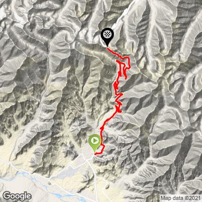
Khardung La climbs out of Leh, the capital of India's Ladakh region, and follows the Leh-Nubra Valley road north into the Ladakh range of the Himalaya. From the edge of town at roughly 11,500 feet, the road gains about 7,220 feet over 24 miles at an average grade of 4.7% to reach the pass at just over 17,400 feet - one of the highest points a paved road reaches anywhere on Earth.
Built by India's Border Roads Organisation in 1976, it wasn't opened to public vehicle traffic until 1988.
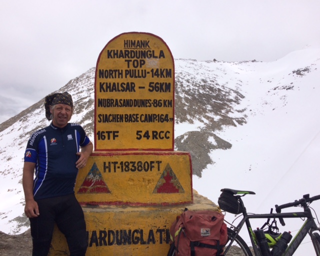
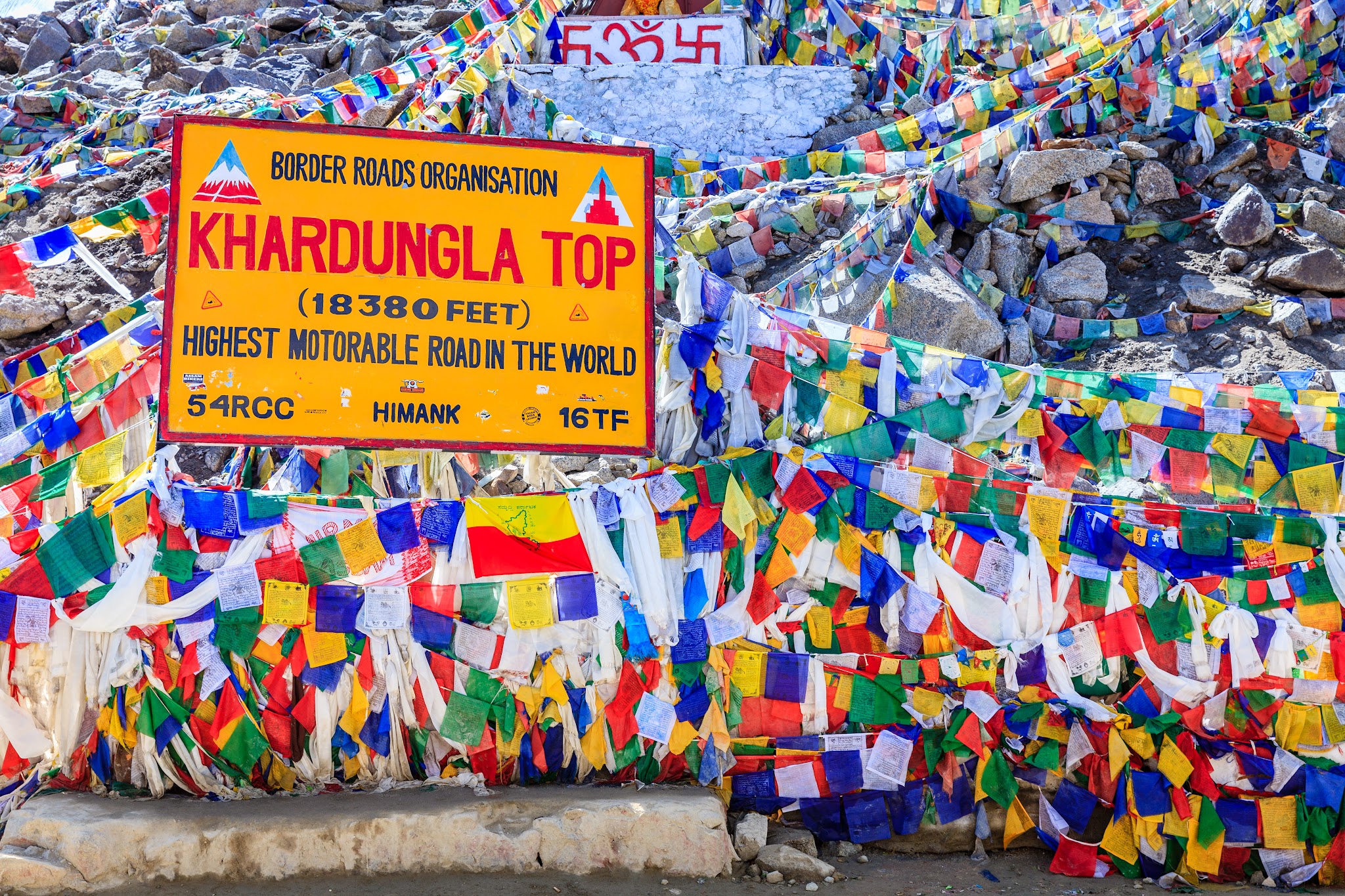
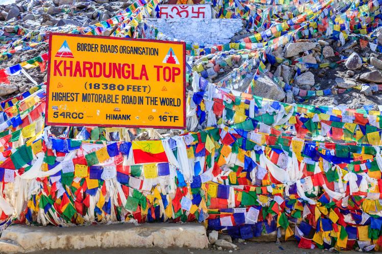
Khardung La is almost always marketed as the highest motorable pass in the world, and signs at the summit list its elevation as high as 18,380 feet - but that figure is inflated. Modern GPS surveys put the true elevation closer to 17,582 feet, and several other Himalayan passes, including Ladakh's own Umling La, sit higher still. None of that makes Khardung La any less punishing.
It currently ranks #28, and the difficulty here has almost nothing to do with the grade on paper - it's the altitude. Riders start already above 11,000 feet in Leh and spend the entire climb gaining thinner air, not losing it.
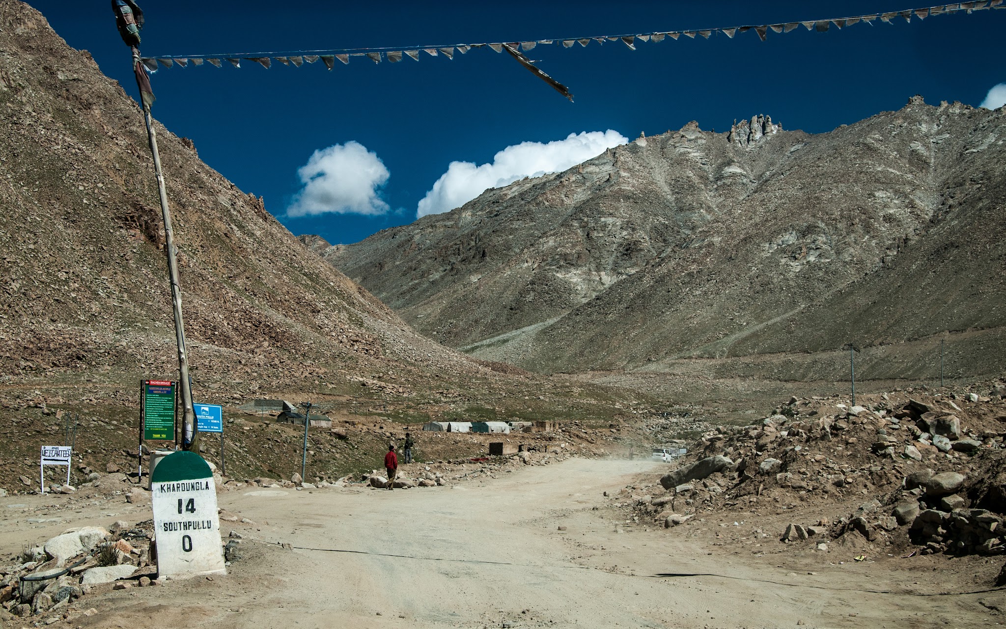
The road shares its upper reaches with military convoys supplying outposts toward the Siachen Glacier, so cyclists need a permit to ride it - Indian riders carry an Environment Fee receipt, foreign riders a Protected Area Permit, both checked at the South Pullu checkpoint partway up. Khardung La is only open roughly May through September; heavy snow closes it the rest of the year.
PLAN YOUR ROUTE
 We've partnered with Sherpa-Map.com to bring you the best route planning tool. With a PRO Membership you can use this climb as a reference when creating your route.
 Khardung La gains 7,223 feet over 24 miles at an average gradient of 4.7% - a number that undersells how demanding this climb actually is. This ride isn't really about the grade - it's about the elevation.
The road opens with its steepest pitch, averaging 15.9% over the first quarter mile, before settling into a long, grinding ascent that holds in the 5-7% range through most of the middle miles. There's no real flat recovery section and no closing sprint - just a steady climb that happens to finish above 17,400 feet.
What makes Khardung La brutal isn't the grade on paper, it's the altitude. PJAMM's difficulty scores put this among the hardest climbs in its global database (FIETS 12.7, PDI 55.6), driven far more by elevation than by pitch. Riders start already at roughly 11,500 feet (3500m) in Leh, well above where altitude begins to affect performance, and spend the entire climb gaining thinner air rather than losing it. Effort that would feel moderate at sea level can feel maximal by the final miles.
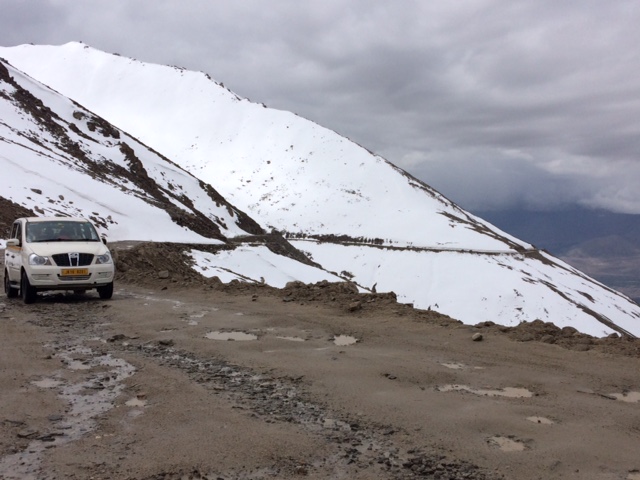
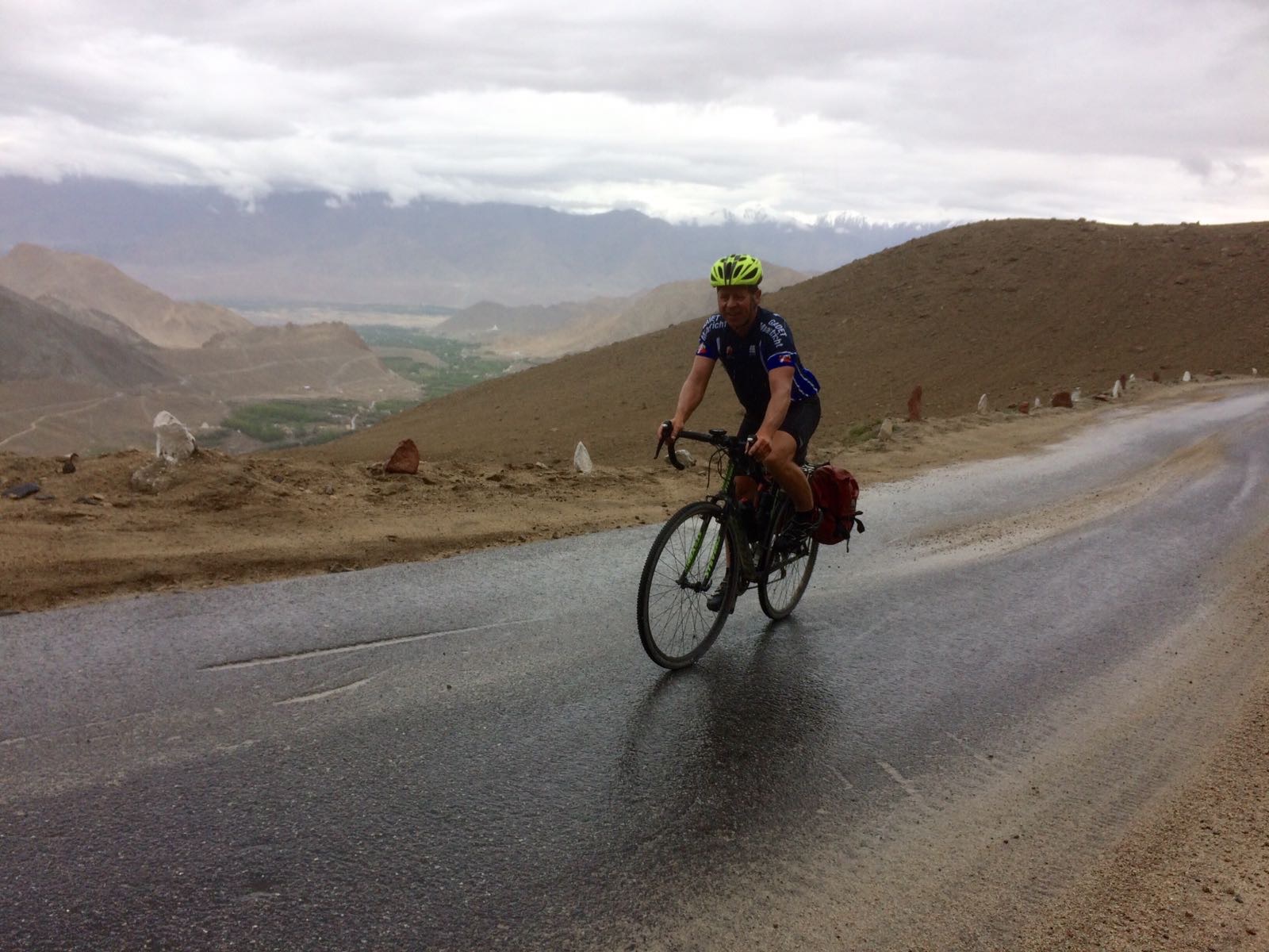
Roadway: The full climb from Leh to the summit of Khardung La is paved. India's Border Roads Organisation (BRO) built and maintains the road, resurfacing sections as needed, but frost heave, meltwater, and rockfall are common at this altitude - expect patched, uneven, or potholed pavement in places, especially early in the riding season. The road runs about a lane and a half wide for most of its length, with turnouts for passing oncoming traffic.
Traffic: Traffic is light to moderate and consists mostly of tourist jeeps, motorcycle tour groups, and army convoys, since this road is a strategic supply route toward the Siachen Glacier. Expect a steady trickle of vehicles rather than heavy traffic, busiest around midday when day-trip taxis from Leh head up and back. Army trucks move slowly and can bunch up near the checkpoints.
Parking: There's a large gravel parking and gathering area at the summit with prayer flags, a small shrine, and seasonal stalls selling tea, snacks, and souvenirs. A permit checkpoint at South Pullu, about 24km up from Leh, is where riders must stop and show paperwork - plan for it as a real stop, not a rolling checkpoint.
Dress for winter at the summit even if it's warm in Leh - temperatures at 17,400 feet can sit near or below freezing even in summer, and wind chill on the descent is significant. Bring real insulating layers, a windproof shell, and full-finger gloves, not just arm warmers. Sun exposure is intense at this altitude, so sunscreen, lip protection, and sunglasses matter more here than on a comparable climb at sea level.
There's no reliable water or food along the route until the seasonal stalls at the summit, so carry more than you think you'll need. Altitude is the real gear consideration on Khardung La: acclimatize in Leh for at least two to three days before attempting the climb, and know the symptoms of acute mountain sickness before you start.
Small oxygen canisters are sold at the summit for visitors who need them, but they're not a substitute for proper acclimatization. Carry printed copies of your Inner Line Permit or Environment Fee receipt - the South Pullu checkpoint sits in a cellular dead zone, and a phone screen won't be accepted.
Before heading out on any cycling adventure check out our Things to Bring on a Cycling Trip and use our interactive check list to ensure you don't forget anything.
Most riders fly into Leh's Kushok Bakula Rimpochee Airport, one of the highest-altitude commercial airports in the world, then spend two to three days acclimatizing in town before attempting Khardung La - altitude, not the climb itself, is what ends most people's attempts. Don't ride straight off the plane.
Permits are required: Indian cyclists need to register and pay an Environment Fee online and carry the printed receipt, while foreign riders need a Protected Area Permit arranged through a local agent or hotel in Leh. Both are checked at the South Pullu checkpoint, and officials there have been known to reject a permit shown only on a phone screen, so bring paper copies.
The pass is open roughly May through September; snow closes it the rest of the year, and conditions can still turn quickly even in season. Many riders combine the climb with a descent into Nubra Valley on the far side via North Pullu, though that's a separate, rougher stretch of road beyond the summit and not part of this climb.
ROUTE MAP
MEMBER RATING
CURRENT WEATHER
PJAMM TRIPS ADVENTURE STARTER BUNDLES
Check out PJAMM Adventure's prepackaged (self-guided) cycling trips. They will help you plan, document and conquer your next adventure.
NEARBY CLIMBS (0) RADIAL PROXIMITY
FROM No Climbs Found
MEMBER REVIEWS & COMMENTS
Let us know what you thought of this climb. Signup for our FREE membership to write a review or post a comment.
Already have an account?
LOG IN HERE
dioelle
Some debate about height. Crossed 2016 S to N. Lots of traffic but spectacular. S side dry, N snowbound. Mindblowing descent to the N. Tea stall and bathrooms at top. Start early.