33
PDI
13.4 mi
DISTANCE
5,019 ft
GAINED
7.1 %
AVG. GRADE
FULL CLIMB STATS
Page Contributor(s): Lisa Irizarry and Matthew Jiang, NY, NY; Mathieu Mathieu, Saint-Denis, Saint Denis, Réunion.
INTRO
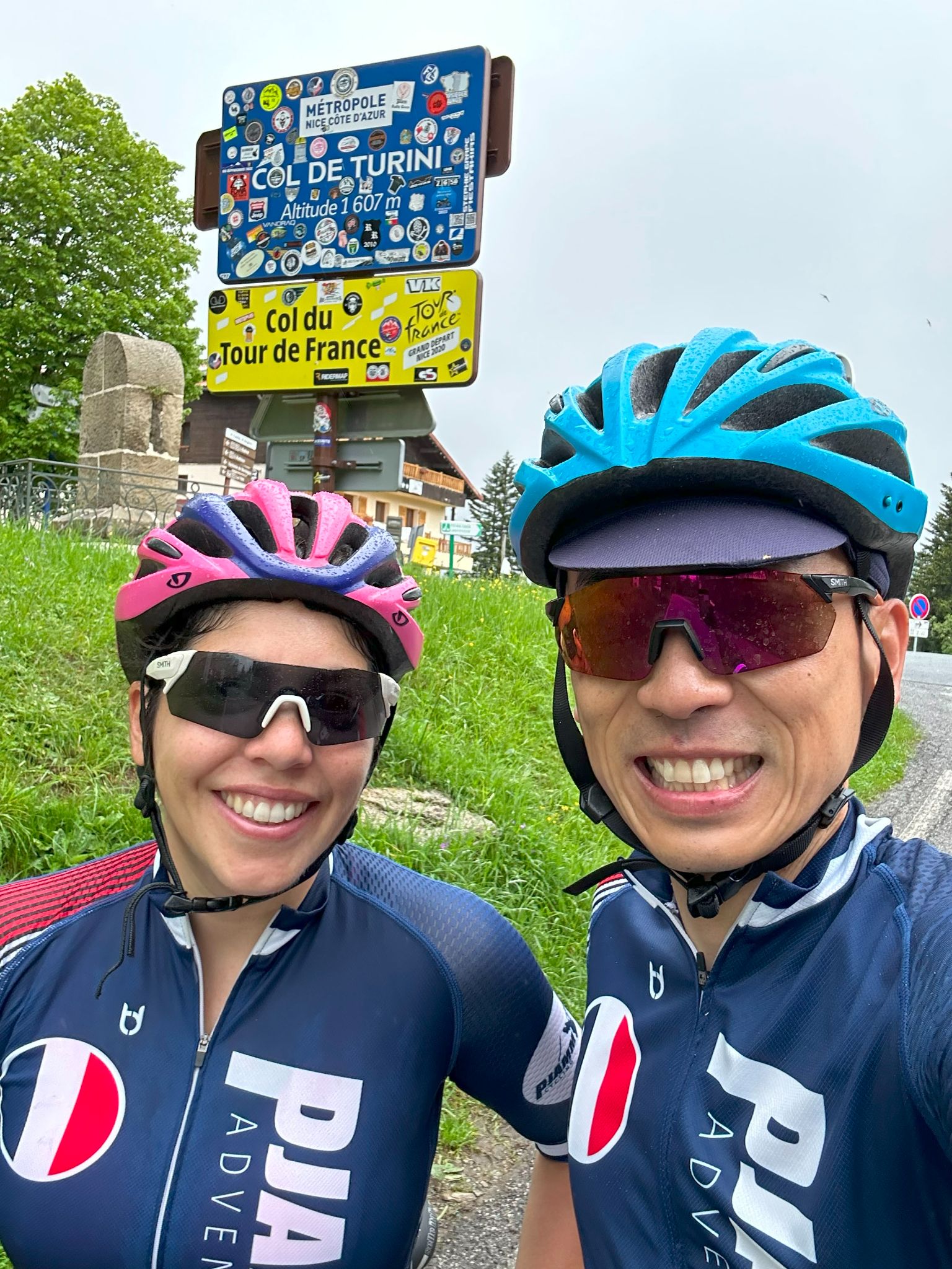
Most people stop at the Col de Turini - the hotels, the rally photos, the hairpins the Monte Carlo Rally made famous. This climb keeps going. Past the col the road climbs on to Camp d'Argent and then onto the Authion, a high, open plateau ringed with old forts, and finishes at about 2030 m near the Redoute de la Forca, more than 400 m above the col.
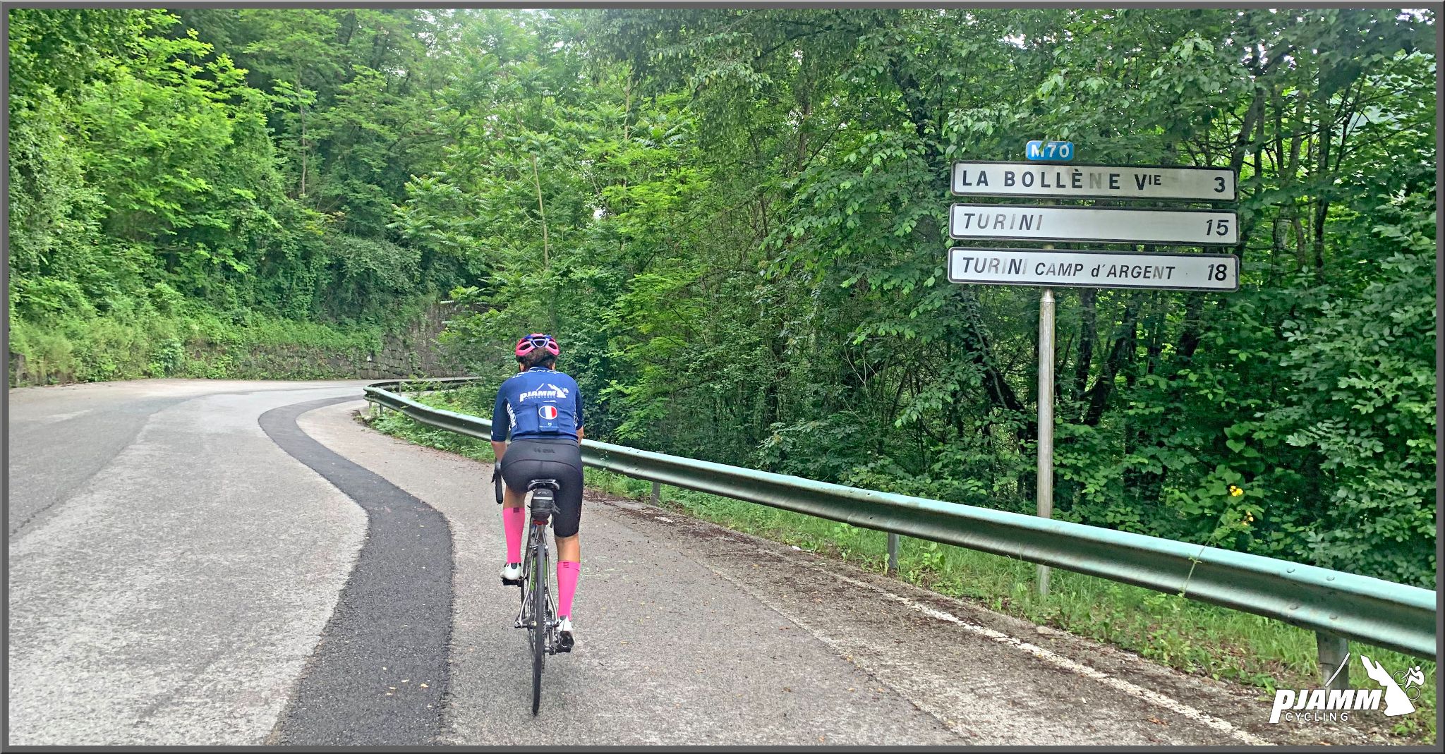
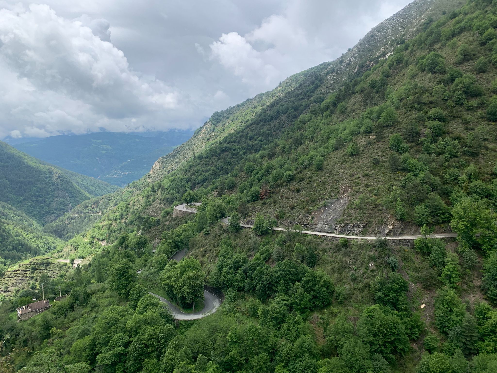
From the valley road below La Bollène-Vésubie it's 21.5 km (13.4 mi) and 1530 m (5019 ft) at 7.1%. The first 15 km are the classic western side of Turini: up through La Bollène, then a long, steady 7-8% through the forest, one hairpin stacked on the next. The last 6.5 km are a different ride - narrower, quieter, out of the trees and onto open ground, and a little gentler at 6-7%.
The Authion was the scene of hard fighting in April 1945, when Free French troops of the 1st DFL took the forts in the battle that freed the last corner of the Alpes-Maritimes. There's a monument to them at the Baisse de Tuéis, and old barracks and batteries are scattered along the road. Back down at the col, the rally still comes every January: in 2026 its Power Stage ran from La Bollène over the Turini to Moulinet.
PLAN YOUR ROUTE
 We've partnered with Sherpa-Map.com to bring you the best route planning tool. With a PRO Membership you can use this climb as a reference when creating your route.
Average grade is 7.1% over 21.5 km (13.4 mi). After an easier start along the valley road and through La Bollène-Vésubie (about 6% for the first 4 km), the grade settles at 7-8% and holds it through the forest hairpins to the Col de Turini at km 15 (1607 m). That's where the steepest sections are: 9.8% for the steepest kilometer and 9.4% for the steepest 2 km, with nothing over 11%. Past the col the road climbs at around 6-7% to Camp d'Argent (about 1740 m) and on over the Baisse de Tuéis (about 1890 m) to the finish near La Forca at roughly 2030 m.
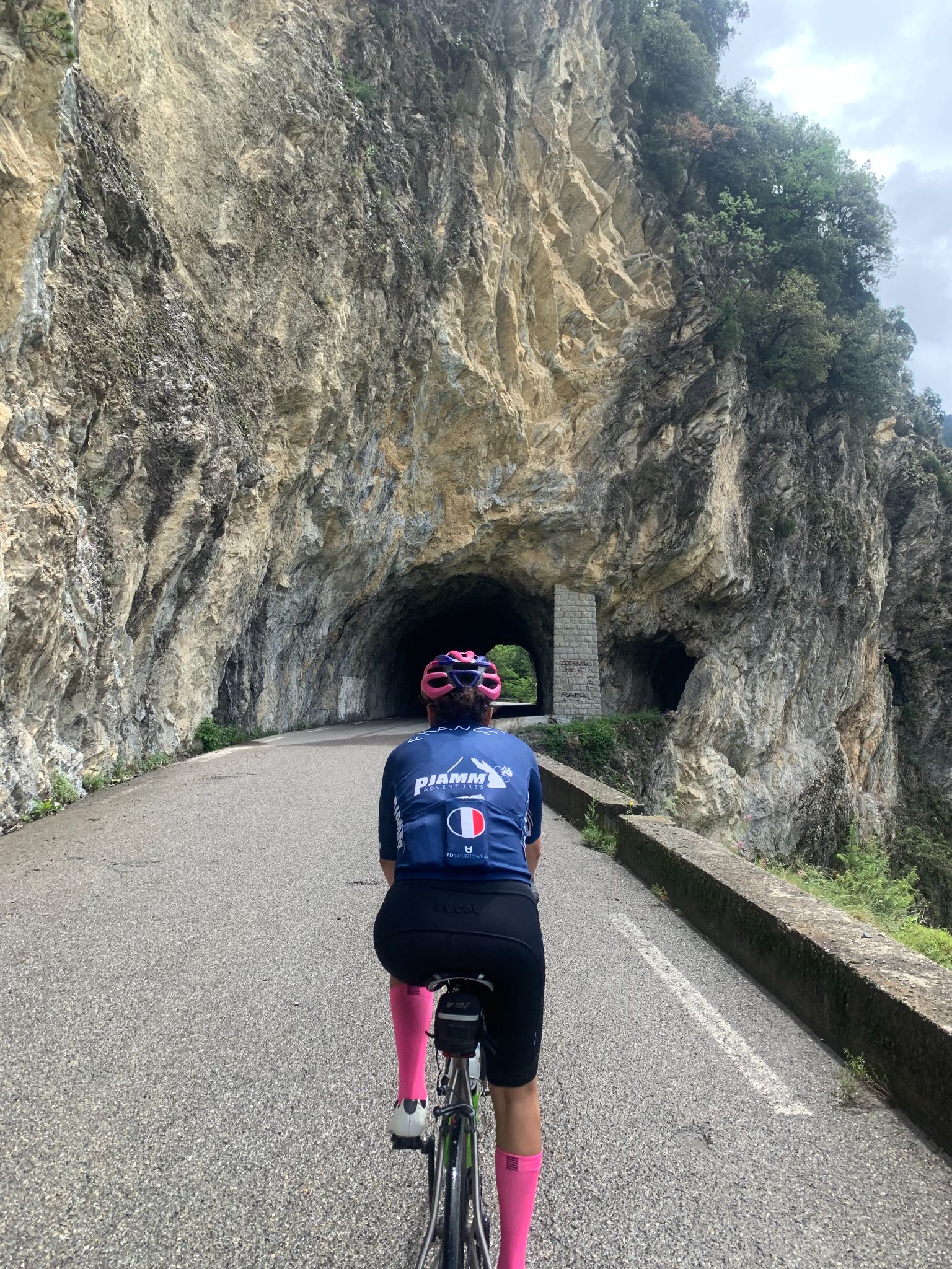
Roadway: Asphalt the whole way. The M70 up to the col is a well-kept rally road, and the D68 on to Camp d'Argent is fine. The Authion road beyond is narrow and rougher - rider reports over the years range from badly potholed to freshly cleaned up - so take the top section, and above all its descent, with care. None of this is a winter road: snow and ice can sit on the col for months, and the Authion road can still be blocked by snow in May.
Traffic: Moderate up to the col, with motorcyclists and rally fans on summer weekends, and the road shuts for the rally stage each January. Above the col it's quiet, mostly people driving up for the walks and the forts, but the Authion road is too narrow for two cars to pass comfortably, so expect to pull over now and then.
Parking: For the full climb, park near the bottom where the M70 leaves the valley road, or in La Bollène-Vésubie about 2 km up. There's a big parking area at the col by the hotels, and car parks at Camp d'Argent (about 1740 m) and the Baisse de Tuéis if you only want to ride the Authion section.
Provisions: La Bollène-Vésubie is your last water before the col. The Hôtel-Restaurant Les Trois Vallées at the col lists itself as open year-round, and the Yéti, a mountain restaurant at Turini-Camp d'Argent, is open daily in season and weekends only the rest of the year. Ring ahead outside summer. Above Camp d'Argent there's nothing at all.
Gear: Ordinary road gearing does the job. Tires of 28 mm or more make the broken Authion road far more pleasant, and you'll want a real jacket: the finish is above 2000 m and the plateau catches the wind.
Before heading out on any cycling adventure check out our Things to Bring on a Cycling Trip and use our interactive check list to ensure you don't forget anything.
This is the page that goes onto the Authion, so here's what's up there. The road loops around the plateau past the batteries of Plan Caval, the Mille Fourches fort and the old Cabanes Vieilles barracks with its tank memorial. The Redoute des Trois Communes, at 2082 m the highest of the forts, is a short walk from the road rather than a ride, and on a clear day people see all the way to Corsica from it.
For the village of La Bollène, Paris-Nice's 2019 finish and Storm Alex, see our Col de Turini (La Bollène) page, which shares the first 15 km of this road; for the long eastern side through the Gorges du Piaon, see Col de Turini (Sospel).
The plateau makes its own weather - the Weather tool's forecast for the finish is a better guide than the one for Nice.
ROUTE MAP

MEMBER RATING
CURRENT WEATHER
PJAMM TRIPS ADVENTURE STARTER BUNDLES
Check out PJAMM Adventure's prepackaged (self-guided) cycling trips. They will help you plan, document and conquer your next adventure.
NEARBY CLIMBS (0) RADIAL PROXIMITY
FROM No Climbs Found
MEMBER REVIEWS & COMMENTS
Let us know what you thought of this climb. Signup for our FREE membership to write a review or post a comment.
Already have an account?
LOG IN HERE