53.5
PDI
10.8 mi
DISTANCE
4,600 ft
GAINED
8.1 %
AVG. GRADE
FULL CLIMB STATS
INTRO
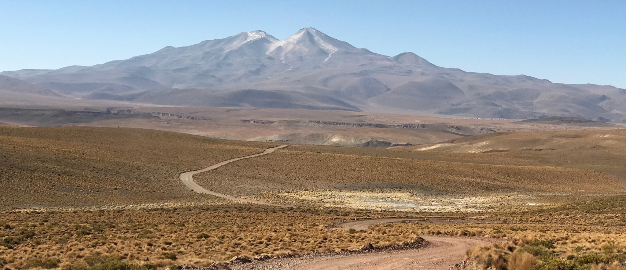
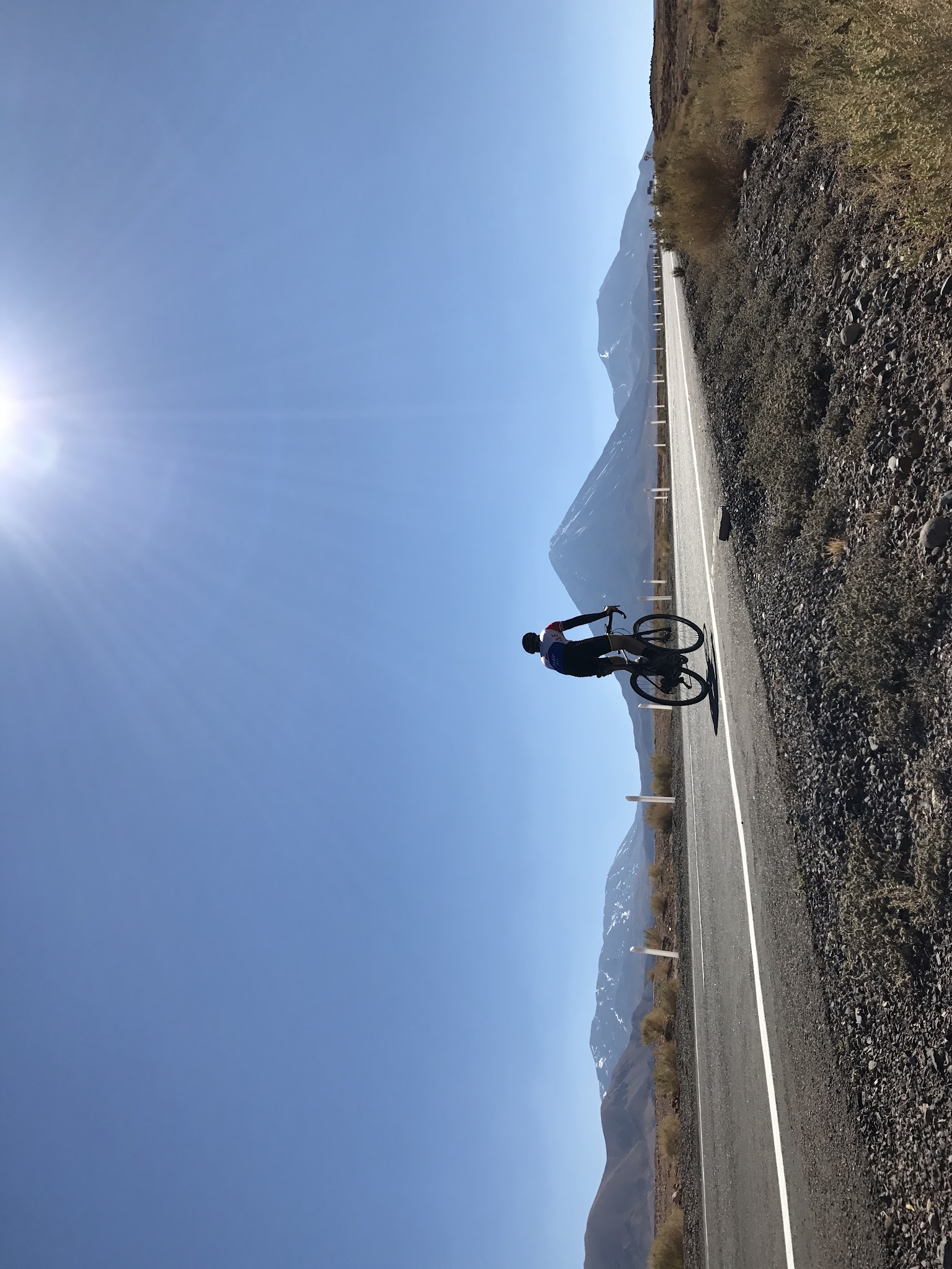
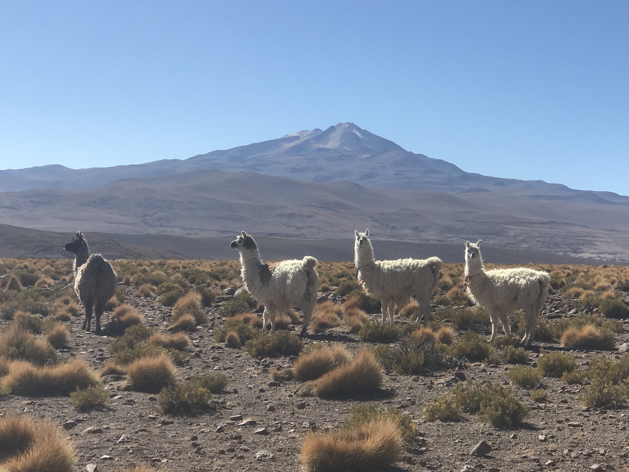
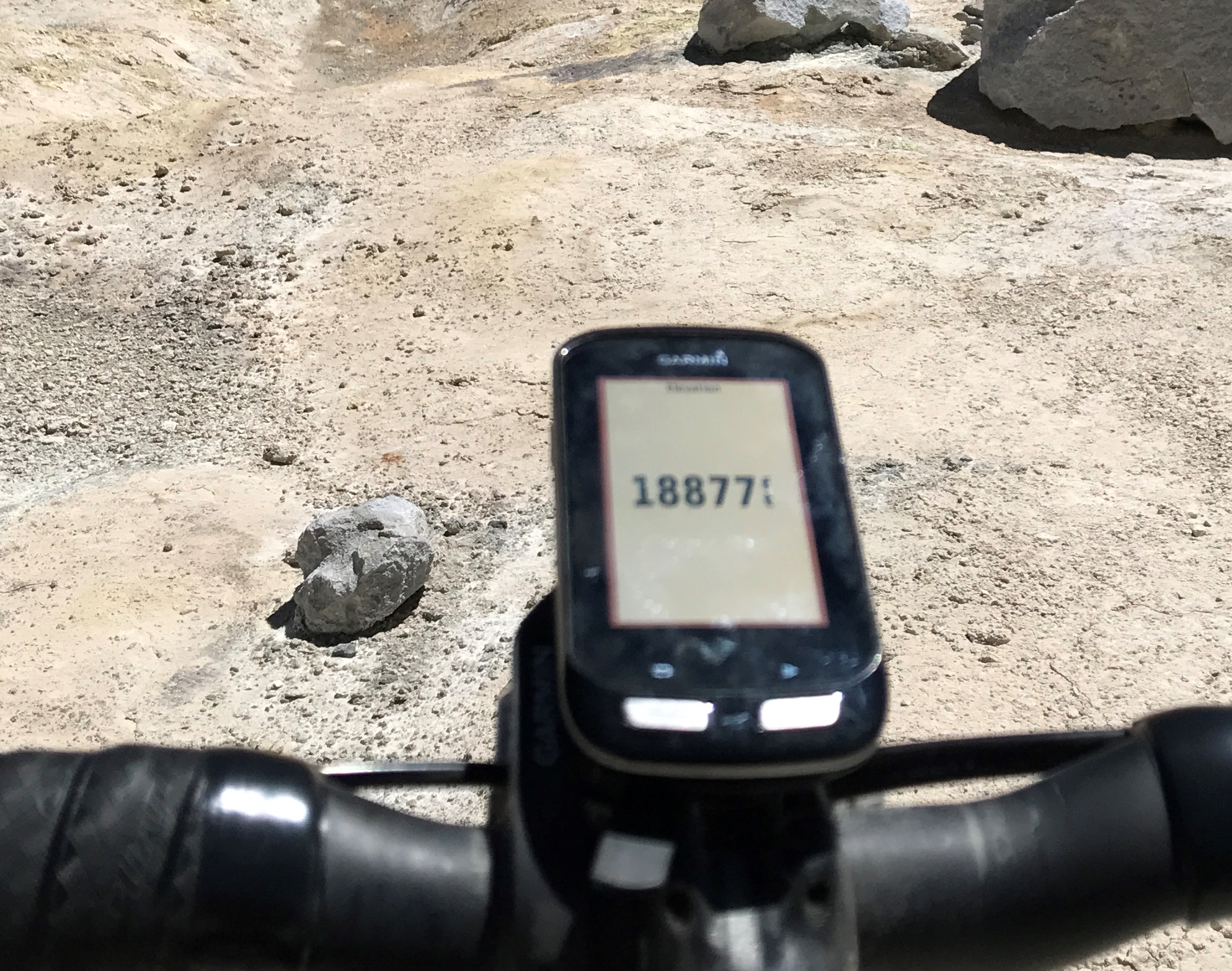
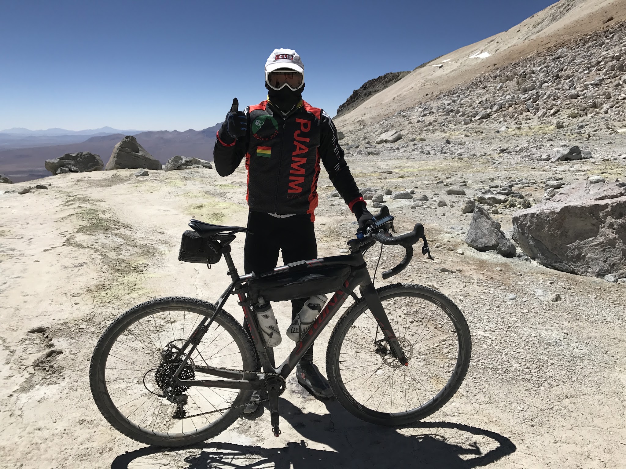
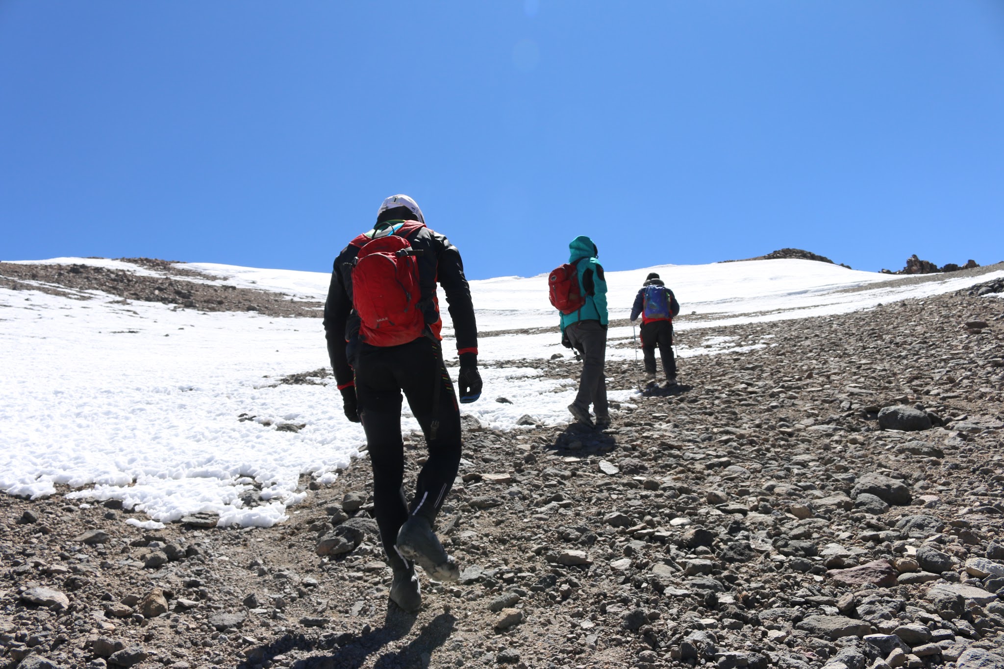
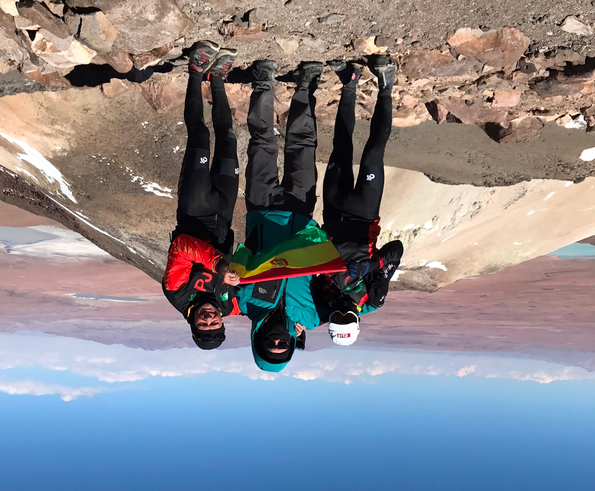
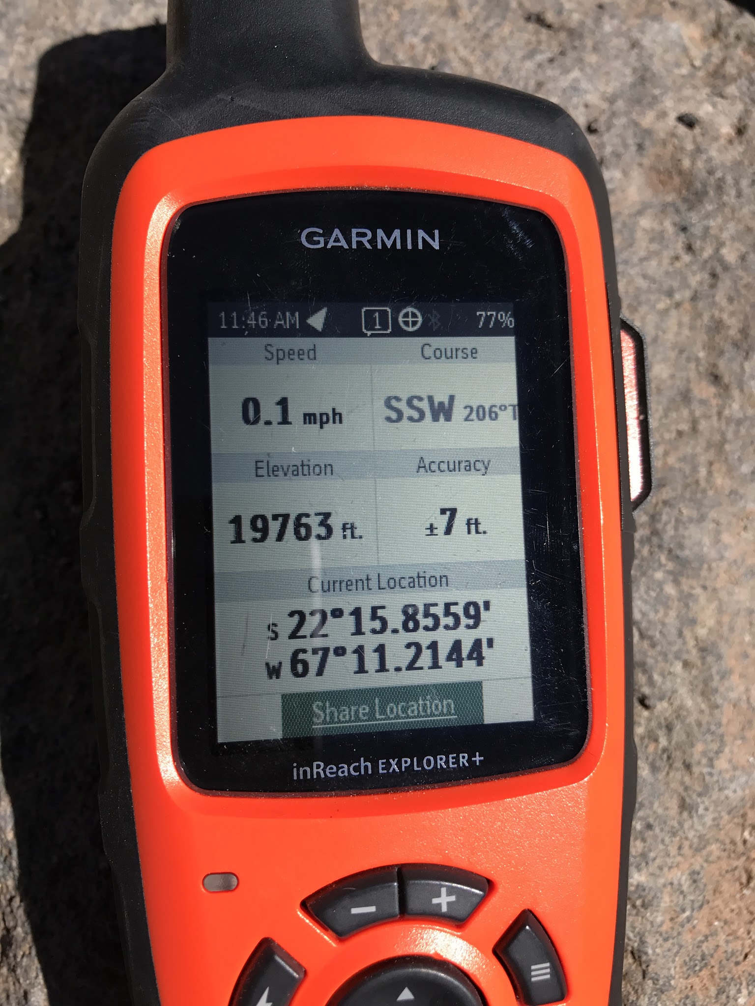
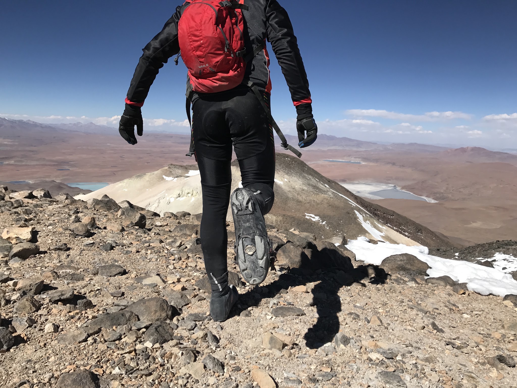
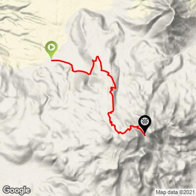
Uturuncu is a dormant, twin-peaked volcano in the remote Sur Lipez region of southern Bolivia, near the Chilean border and the Eduardo Avaroa Andean Fauna National Reserve. The ride climbs 10.8 miles and 4,600 feet at an average grade of 8.1%, starting at the tiny village of Quetena Chico and finishing at the saddle between Uturuncu's two summits at 18,769 feet - one of the highest points a bicycle has ever reached. From there, the true summit at just over 19,700 feet means parking the bike and hiking a final half-mile that gains about 700 feet at an average grade over 30%.
This road wasn't built for cyclists - it was built between 1948 and 1950 to serve a sulfur mine that operated near the summit until the mid-1990s, and it shows: the surface above Quetena Chico is loose dirt and volcanic ash the entire way, with erosion severe enough in places to stop vehicles well short of the top. This was once widely cited as the highest road in the world; higher roads have since been documented in Tibet and India, but Uturuncu remains one of the very few rideable roads anywhere above 18,000 feet.
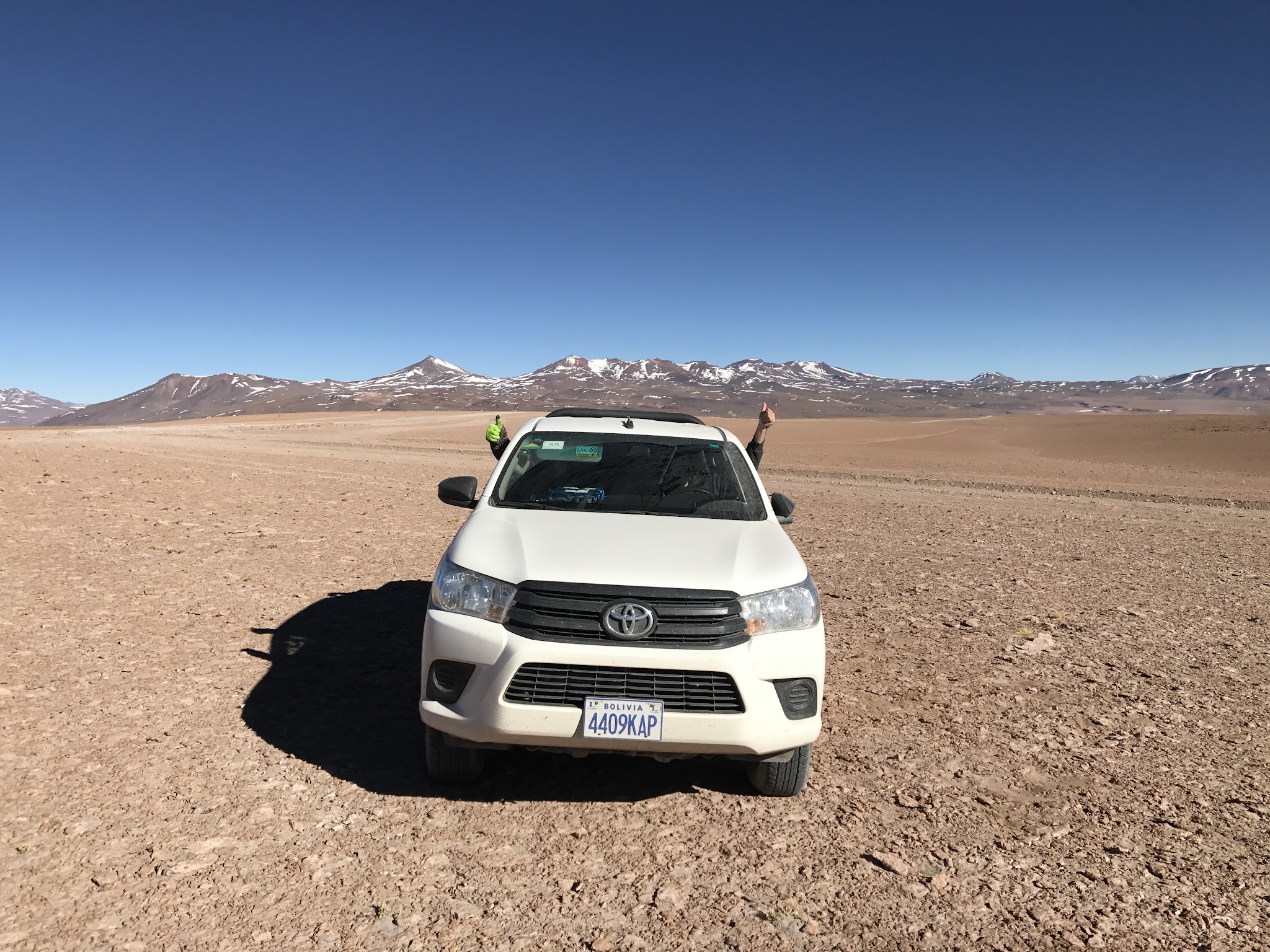
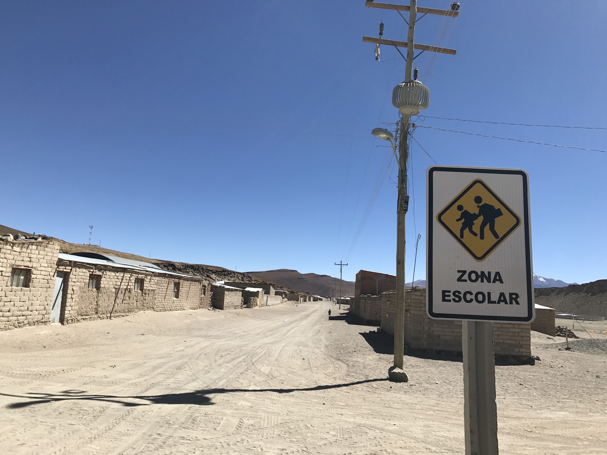
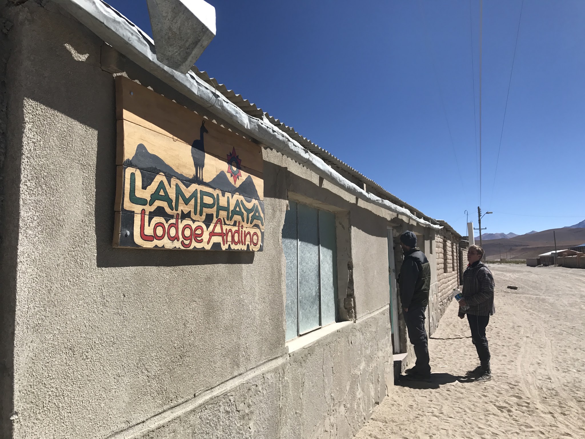
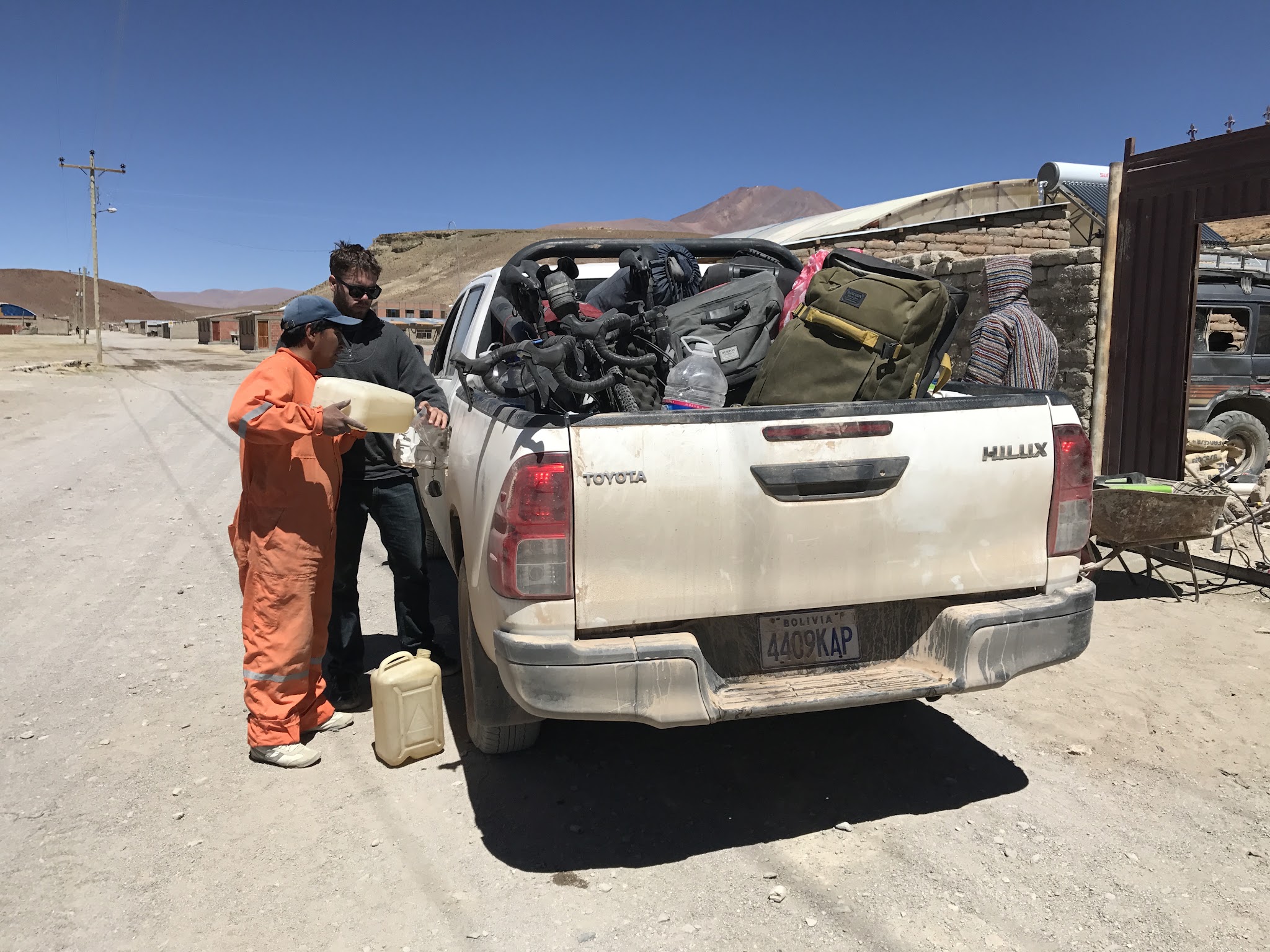
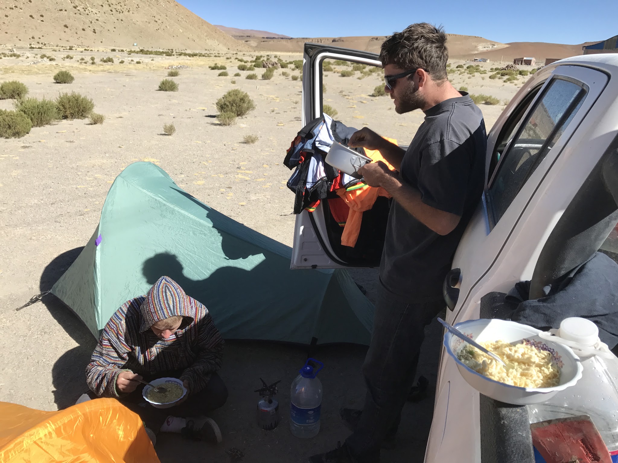
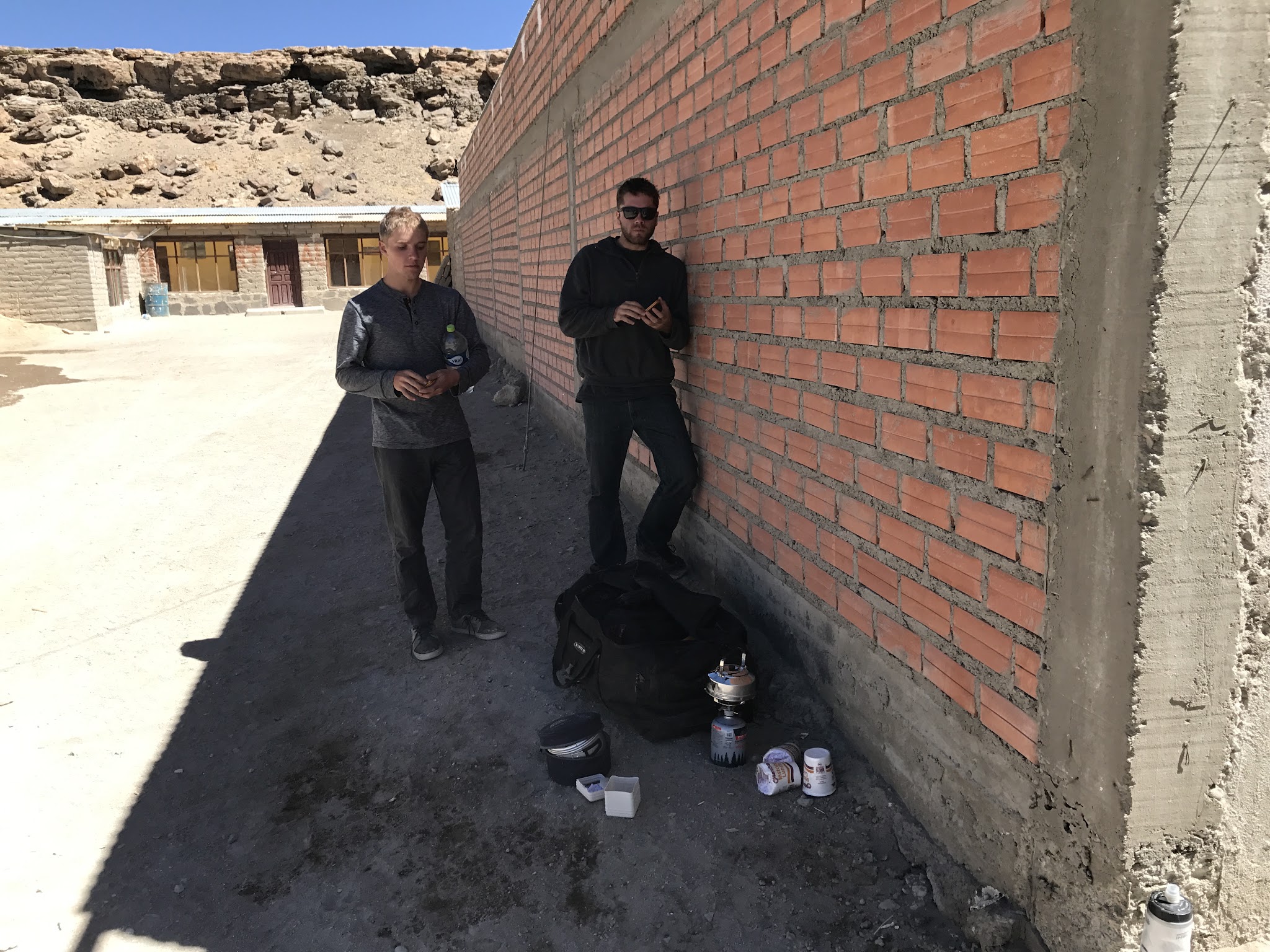
A guide is mandatory, arranged in Quetena Chico itself rather than booked online - when we climbed it, the village looked deserted until we started knocking on doors, and within an hour we had gas, a guide, and a place to camp. Expect the same informal, cash-based arrangement today; bring Bolivianos, since there's no ATM here. Uturuncu has also drawn ongoing volcanology research - scientists have tracked slow ground uplift and small earthquakes here for years, with 2025-2026 studies attributing the unrest to gas and fluid movement deep underground rather than a sign of imminent eruption.
PLAN YOUR ROUTE
 We've partnered with Sherpa-Map.com to bring you the best route planning tool. With a PRO Membership you can use this climb as a reference when creating your route.
 8.1% average grade - 58% is at 5-10%, 25% is at 10-15%, and 2% is at 15-20%. The steepest 500 meters is 12.9% and the steepest kilometer is 11.2%.
See more details and tools regarding this climb's grade via the “Profile Tool” button.
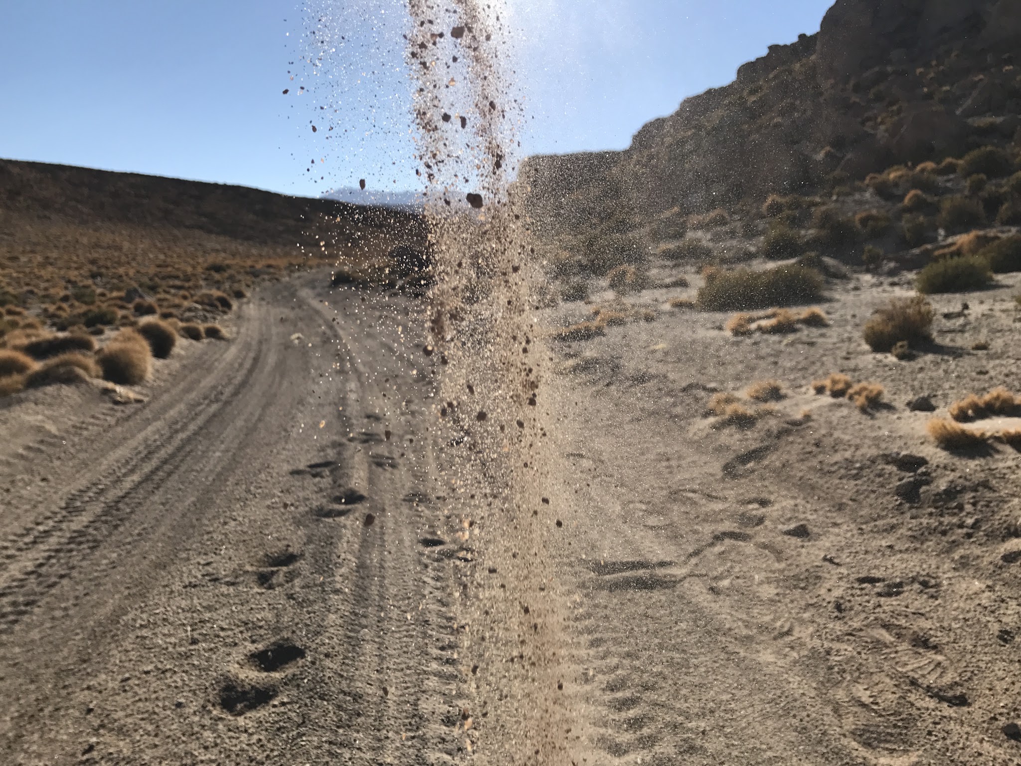
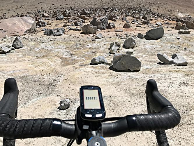
Roadway: Dirt and volcanic ash the entire way above Quetena Chico - there's no pavement on this climb at all. Erosion has cut the old mine road badly enough in places to stop vehicles well short of the top (reports put the worst washouts around 18,300 feet), and sandy sections lower down demand a wide tire and low gearing. Expect to walk your bike through at least a short stretch or two regardless of fitness.
Traffic: Zero. The sulfur mine that the road was built to serve closed in the mid-1990s, and almost no one has a reason to drive up here today. You'll likely see no one but your guide the entire way.
Parking: Not an issue - there's no vehicle access up the mountain without a guide, and no meaningful parking infrastructure at a trailhead this remote. Arrange your guide and any vehicle support directly in Quetena Chico before you start.
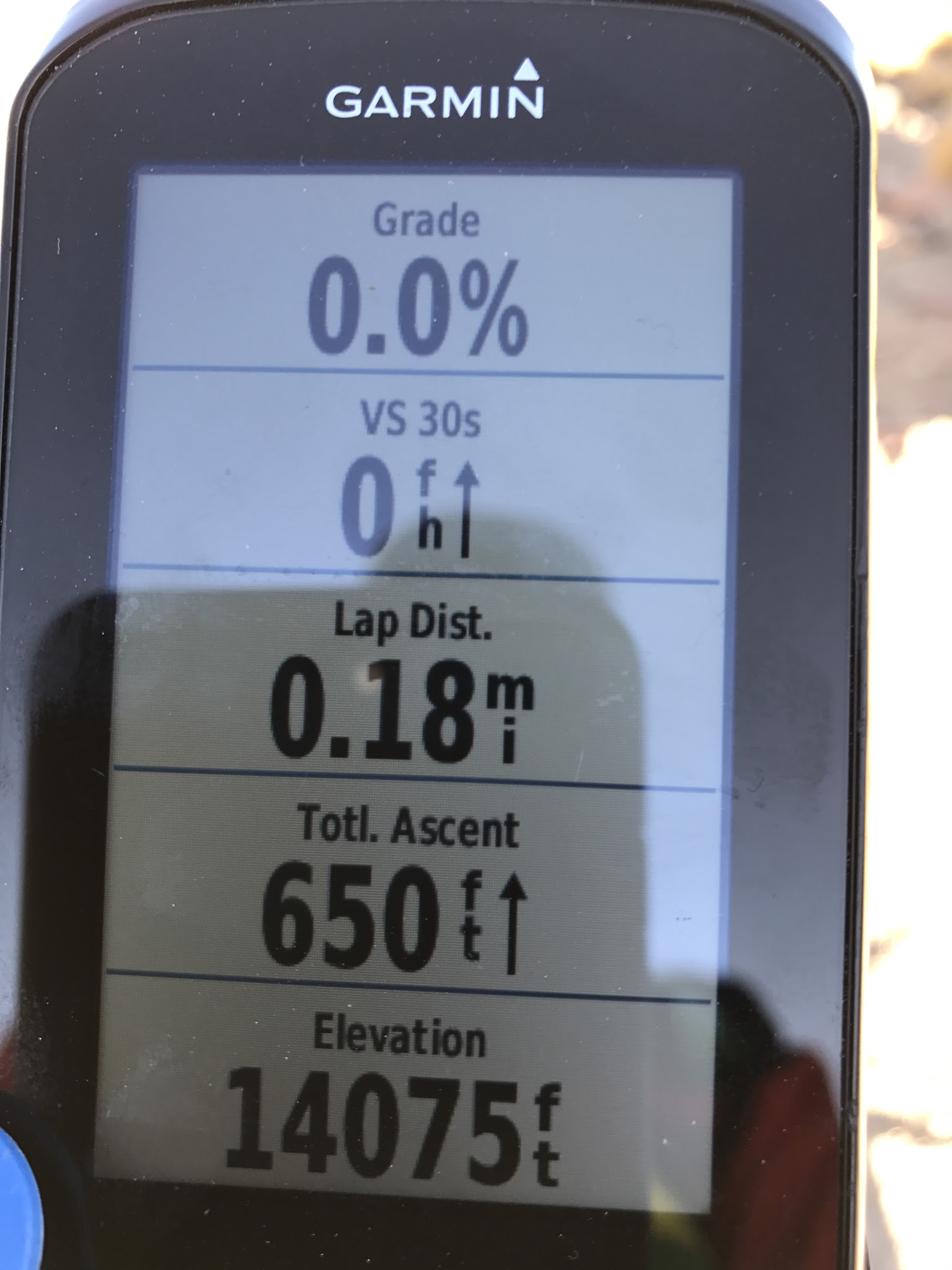
Altitude & Clothing: This climb finishes above 18,700 feet, and the saddle and summit are cold even in the Southern Hemisphere summer - expect freezing overnight temperatures if you camp near Quetena Chico (around 13,300 feet) beforehand, and dress for winter conditions on the bike regardless of season. Severe altitude sickness is a real risk this high; spend several days acclimatizing in Uyuni or San Pedro de Atacama before attempting this climb, not just the night before.
Provisions: None on the route and barely any in Quetena Chico itself, a tiny village at the base of the volcano. Bring all your own food and water for the climb, and carry Bolivianos in cash - there's no ATM here and no guarantee of card or USD acceptance.
Before heading out on any cycling adventure check out our Things to Bring on a Cycling Trip and use our interactive check list to ensure you don't forget anything.
This is one of the most remote bike climbs in the world, and it takes real planning to get here - most visitors arrive via a multi-day overland trip through southern Bolivia's Sur Lipez region or across the border from San Pedro de Atacama, Chile. A certified guide is required and is arranged in person in Quetena Chico rather than booked online, so budget an extra day of buffer in case logistics take longer than expected. The dry season (roughly May through October) is the most reliable window - trails and the mine road can become impassable with snow outside of it, and nighttime temperatures drop well below freezing year-round at this elevation. Given the altitude of the finish, check current conditions at the saddle and summit with our Weather Tool before you commit to a summit day. See our Climb Summary widget below for the full first-person account of our own trip here.
ROUTE MAP
MEMBER RATING
CURRENT WEATHER
PJAMM TRIPS ADVENTURE STARTER BUNDLES
Check out PJAMM Adventure's prepackaged (self-guided) cycling trips. They will help you plan, document and conquer your next adventure.
NEARBY CLIMBS (0) RADIAL PROXIMITY
FROM No Climbs Found
MEMBER REVIEWS & COMMENTS
Let us know what you thought of this climb. Signup for our FREE membership to write a review or post a comment.
Already have an account?
LOG IN HERE
Webbcorp
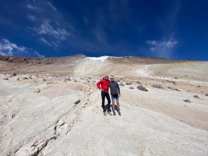


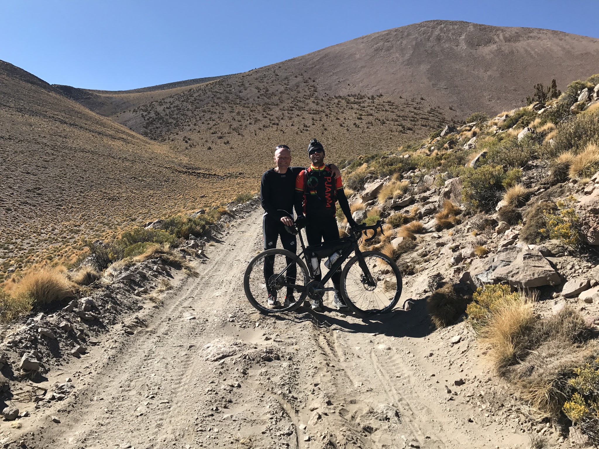
Started closer to Quetena Chico than route on PJAMM, our climb up was about 23 kilometers. We made it to 18,400 feet only to find the ‘road' was completely washed out, oh well… it was our top, and it did not detract from the experience. If you are looking for a guide reach out to me, we made a friend on Death Road who is a professional guide in Bolivia. Here is the Strava activity https://www.strava.com/activities/5116128318
tlaflamme567
Hi, I'm Tristan from Ottawa, Canada, into ultras, preferably off the beaten path. I have started researching the possibility of doing Uturuncu next spring (2025) and am thinking a local guide would be a nice plus. Your post mentions you've met one in Bolivia. Might he be available? I'm also unsure if I should target landing into Chile then driving from San Pedro to Quetena or straight into Bolivia. Any info you have would help my thinking and prep. Thanks.