18
PDI
5.8 mi
DISTANCE
2,459 ft
GAINED
8.1 %
AVG. GRADE
FULL CLIMB STATS
Page Contributor(s): Joey Galloway, Exeter, CA.
INTRO
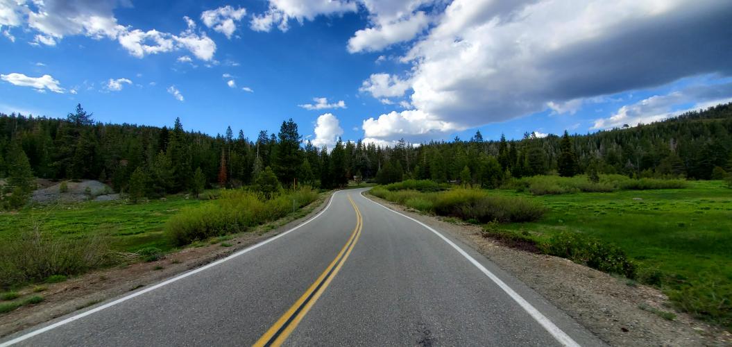
This 5.8 mile bike climb is located in CA, USA. The average gradient is 8.1% and there is a total elevation gain of 2,459 ft, finishing at 6,560 ft.
Use the profile tool, route map, and weather forecast to conquer this cycling climb.
Use the profile tool, route map, and weather forecast to conquer this cycling climb.
PLAN YOUR ROUTE
See more details and tools regarding this climb's grade via our interactive Profile Tool.
Information Not Available
If you have any information regarding this climb, we'd like to hear from you. Click the CONTRIBUTE button to share your thoughts with us.
Information Not Available
If you have any information regarding this climb, we'd like to hear from you. Click the CONTRIBUTE button to share your thoughts with us.
Before heading out on any cycling adventure check out our Things to Bring on a Cycling Trip and use our interactive check list to ensure you don't forget anything.
Information Not Available
If you have any information regarding this climb, we'd like to hear from you. Click the CONTRIBUTE button to share your thoughts with us.
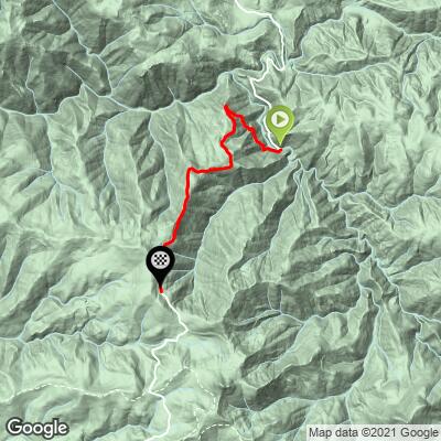
ROUTE MAP
MEMBER RATING
CURRENT WEATHER
PJAMM TRIPS ADVENTURE STARTER BUNDLES
Check out PJAMM Adventure's prepackaged (self-guided) cycling trips. They will help you plan, document and conquer your next adventure.
NEARBY CLIMBS (0) RADIAL PROXIMITY
FROM No Climbs Found
MEMBER REVIEWS & COMMENTS
Let us know what you thought of this climb. Signup for our FREE membership to write a review or post a comment.
Already have an account?
LOG IN HERE
TommW
The wife and I did this ride in the fall of 2023 riding from La Porte to where the paved road bottoms out by the double bridges headed towards Quincy.
The climb back was a real challenge as I took numerous breaks. Admittedly I was not having a good cycling day but this route would be tough regardless! The biggest challenge however is choosing a day to ride. Mid week there is logging truck traffic that is very dangerous while weekends has an influx of campers and such. I think weekends are the safest.
If you ride the route we did, it's about 40 miles RT with NO place to resupply anything so bring extra water. Other than the occasional scary traffic, this is actually a beautiful ride.