![]()
Cycling Copperas Peak South
Ride 7 miles gaining 1,605’ at 4.2% average grade (4.7% climb only)
Climb summary by PJAMM ambassador Dan Razum, Campbell, California.
We start the climb at the intersection of routes 15 and 35, heading north on route 15. To the south, route 15 is a narrow single lane road, but to the north, it is 2 lanes.
![]()
There isn't any shoulder but there isn't a lot of traffic and mostly good sight lines, so 2 lanes is sufficiently wide that the
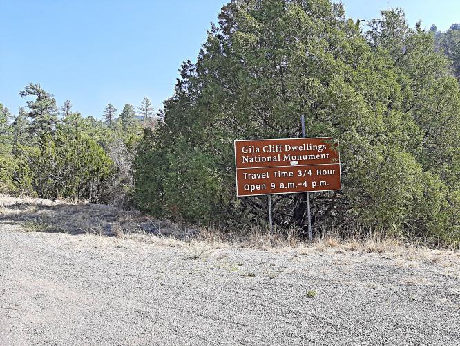
climb feels safe. We are climbing towards the Gila Cliff Dwellings, where route 15 terminates, so any traffic is mainly tourists driving at a reasonable speed. We pass over two cattle guard grates on this climb.
![]()
The climb isn't too steep. The gradient is fairly gentle at the beginning and we even have a short downhill section after the first mile. We can ride at a decent rate the first few miles. It does get a little steeper for the last two miles, but it doesn't hit double digits so we can still keep a good rhythm. There is a mixture of shaded and exposed sections but the altitude and low gradient help keep us from getting too hot.
![]()
![]()
Until we get near the top, there aren't any scenic views. Close to the top we arrive at the Copperas Vista, where there is a restroom and a parking area.
![]()
The top of the climb is just a little further on, at the Gila Wilderness Scenic Viewpoint. There is a small parking area, but no restrooms at the top. The best views are at the top, with no trees in the way.
![]()
![]()
When we biked in this part of New Mexico the air tended to be hazy early in the morning, reducing the views. The nature of the haze was a bit of a mystery, it didn't appear to be smoke or pollution. However, the air cleared up by late morning and then the views really opened up.
![]()
![]()
Thank you Dan!!

 We've partnered with Sherpa-Map.com to bring you the best route planning tool. With a PRO Membership you can use this climb as a reference when creating your route.

