37.3
PDI
15.6 mi
DISTANCE
5,716 ft
GAINED
6.9 %
AVG. GRADE
FULL CLIMB STATS
Page Contributor(s): Ard Oostra, Switzerland.
INTRO
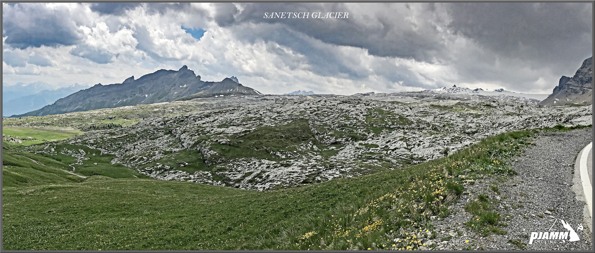
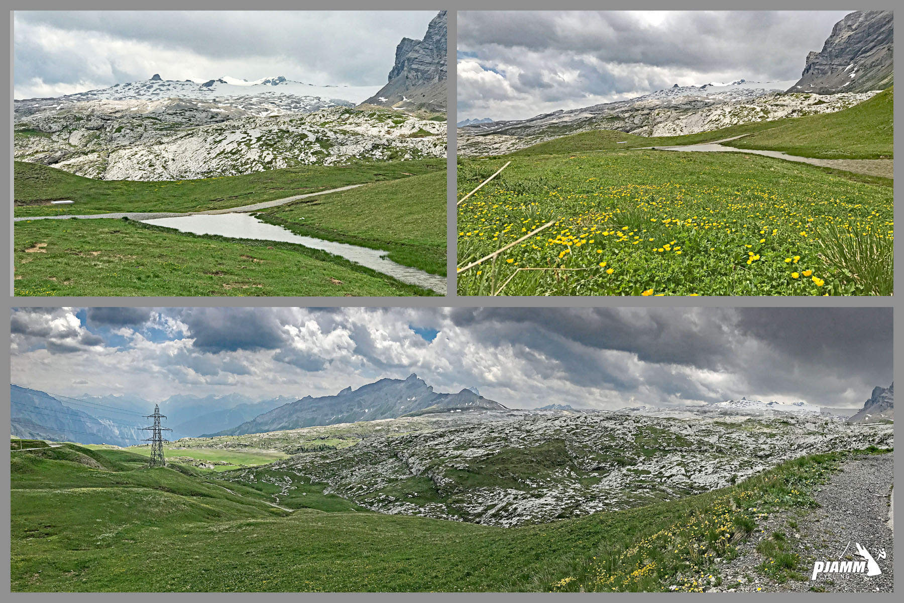
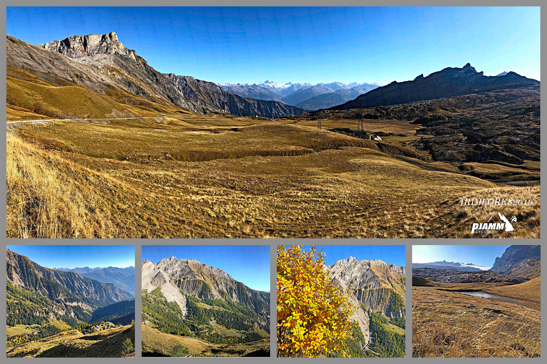
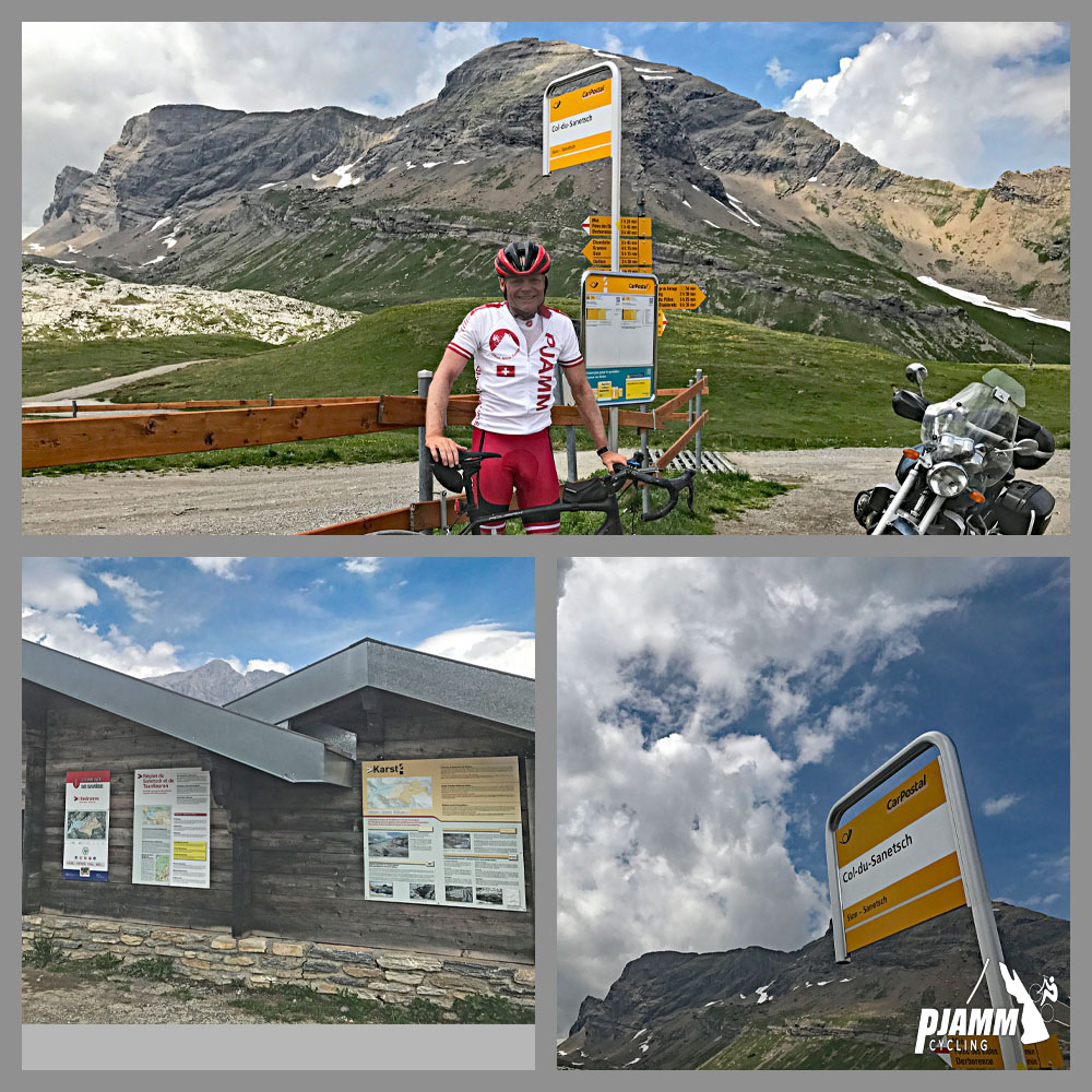
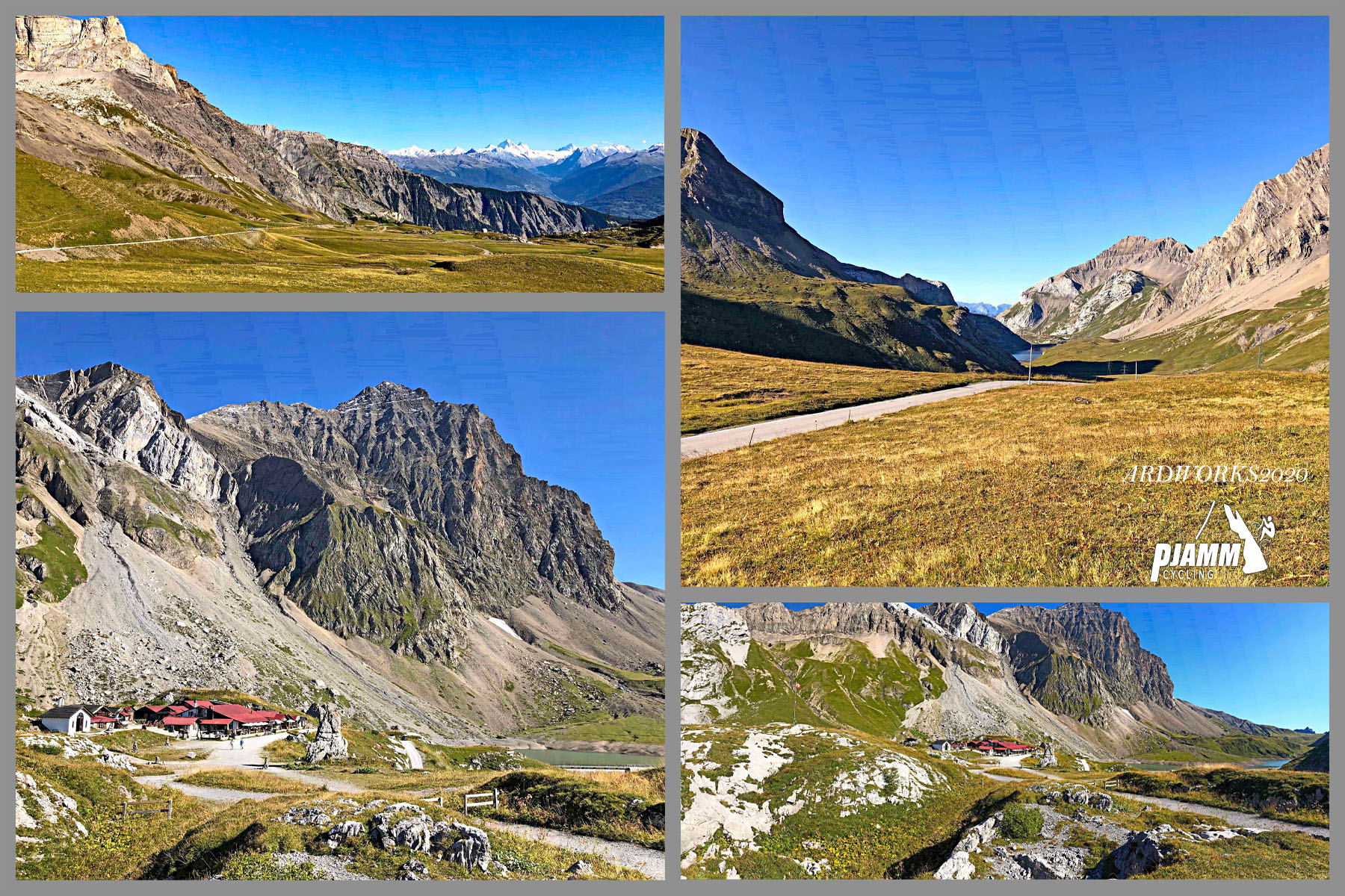
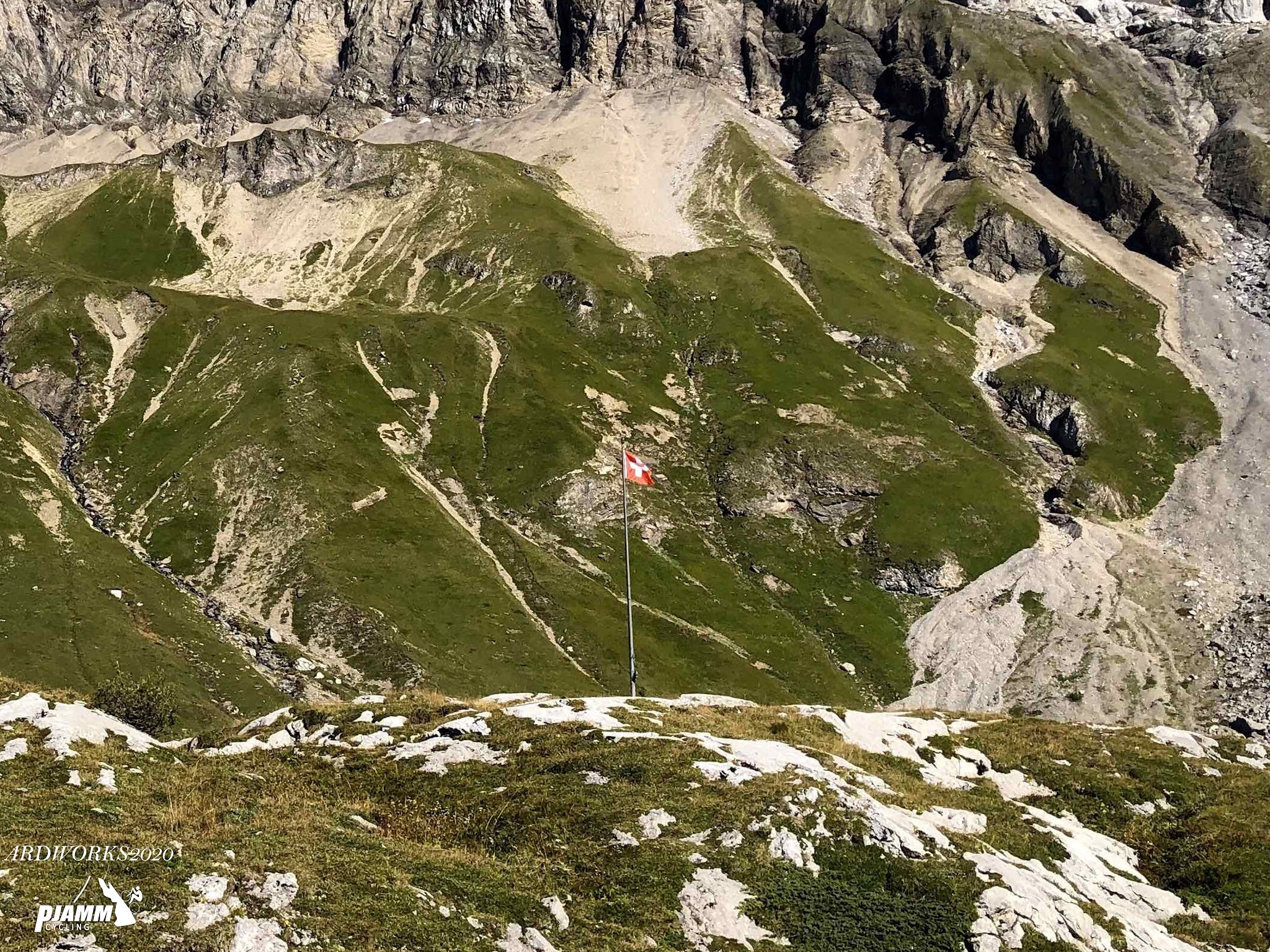
How many times do you get to ride a top 150 world climb and finish at the foot of a glacier? Sanetschpass climbs 15.6 miles from Conthey in Switzerland's Rhone Valley, gaining 5,716 feet at an average grade of 6.9% on its way to a windswept 7,361-foot pass beneath the Tsanfleuron Glacier.
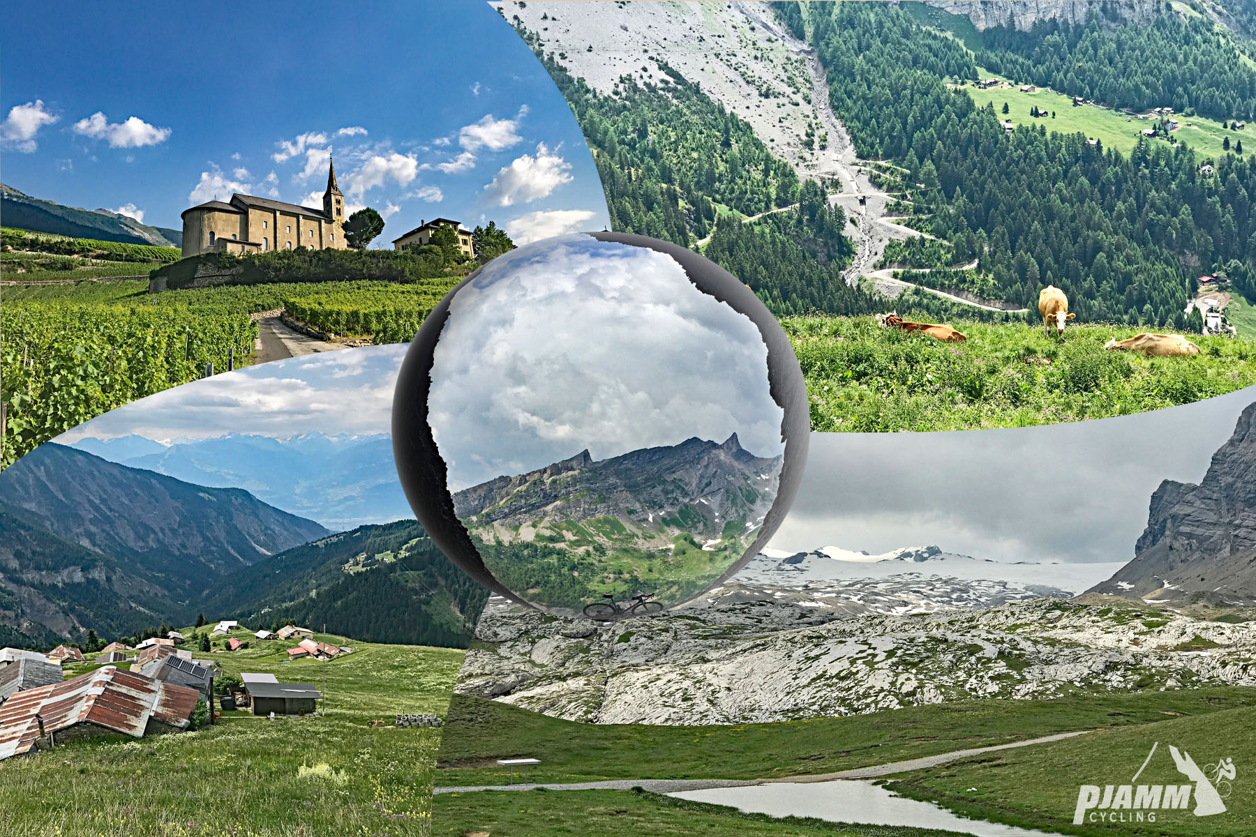
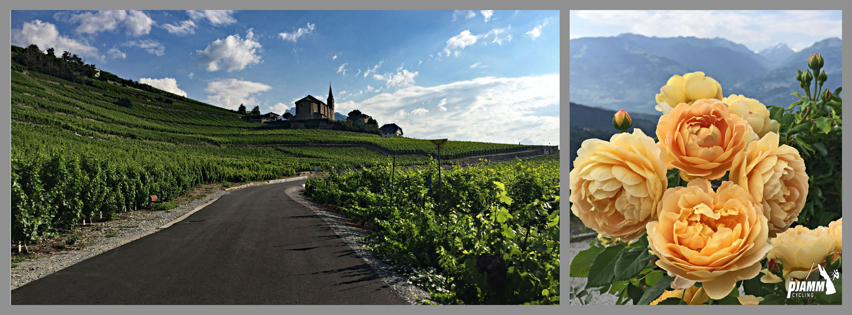
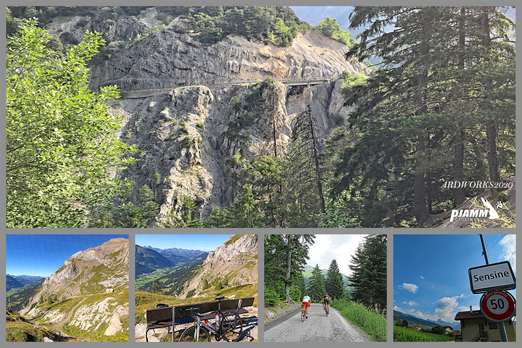
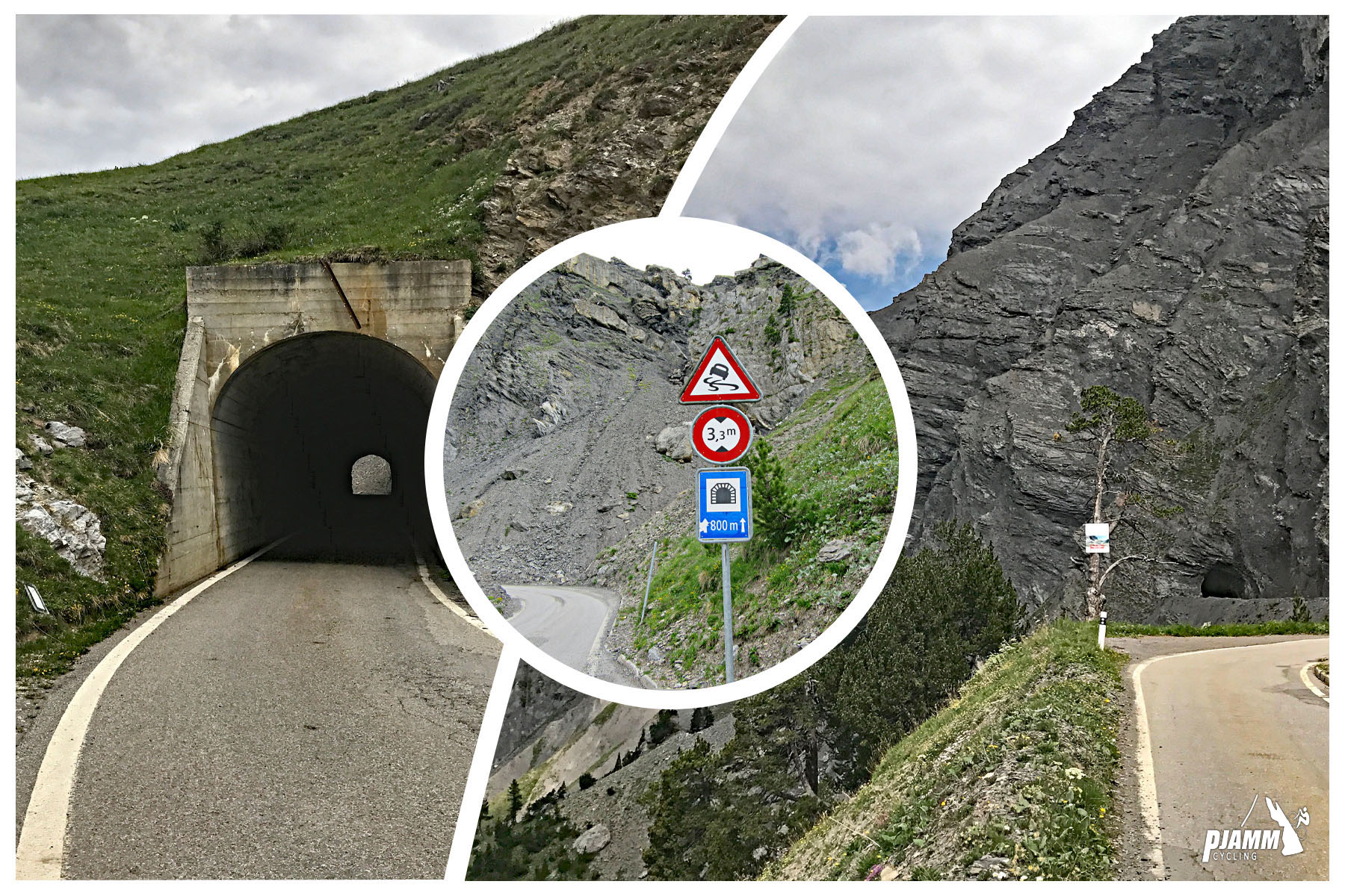
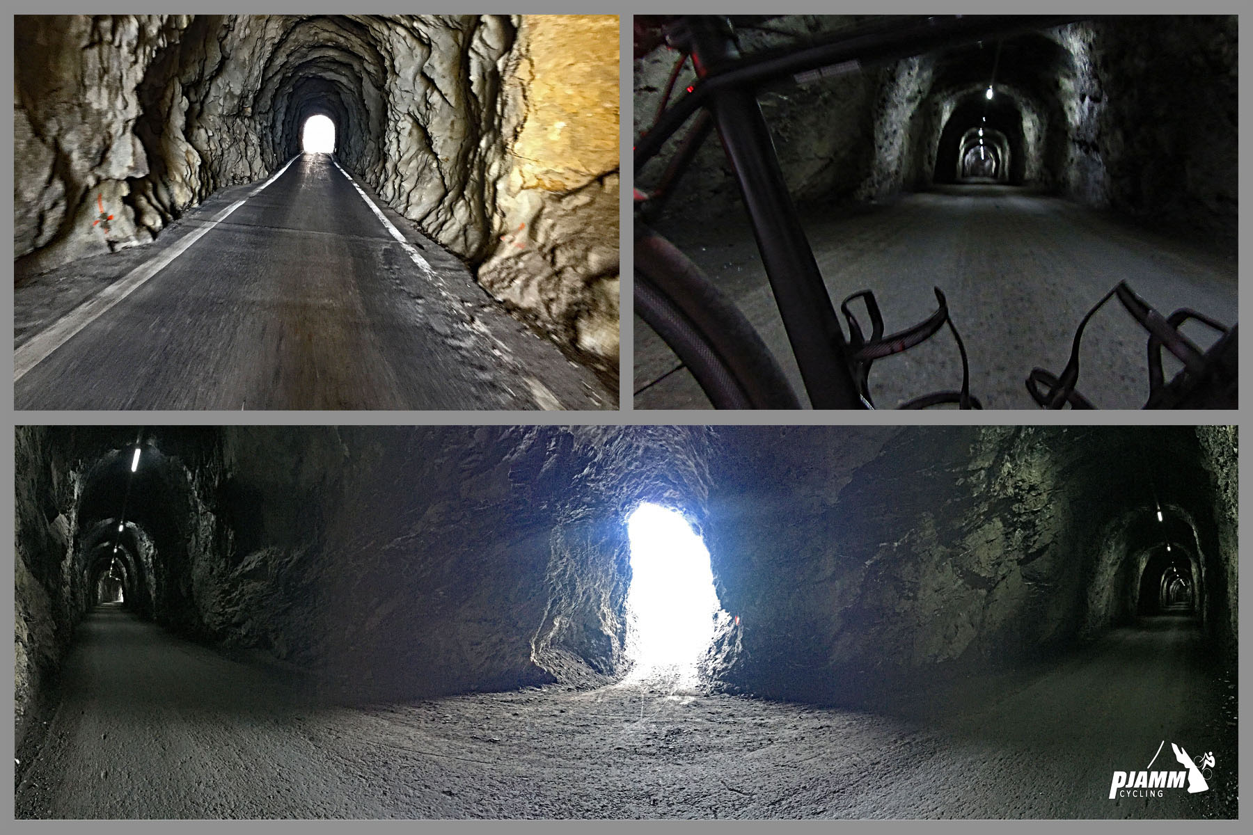
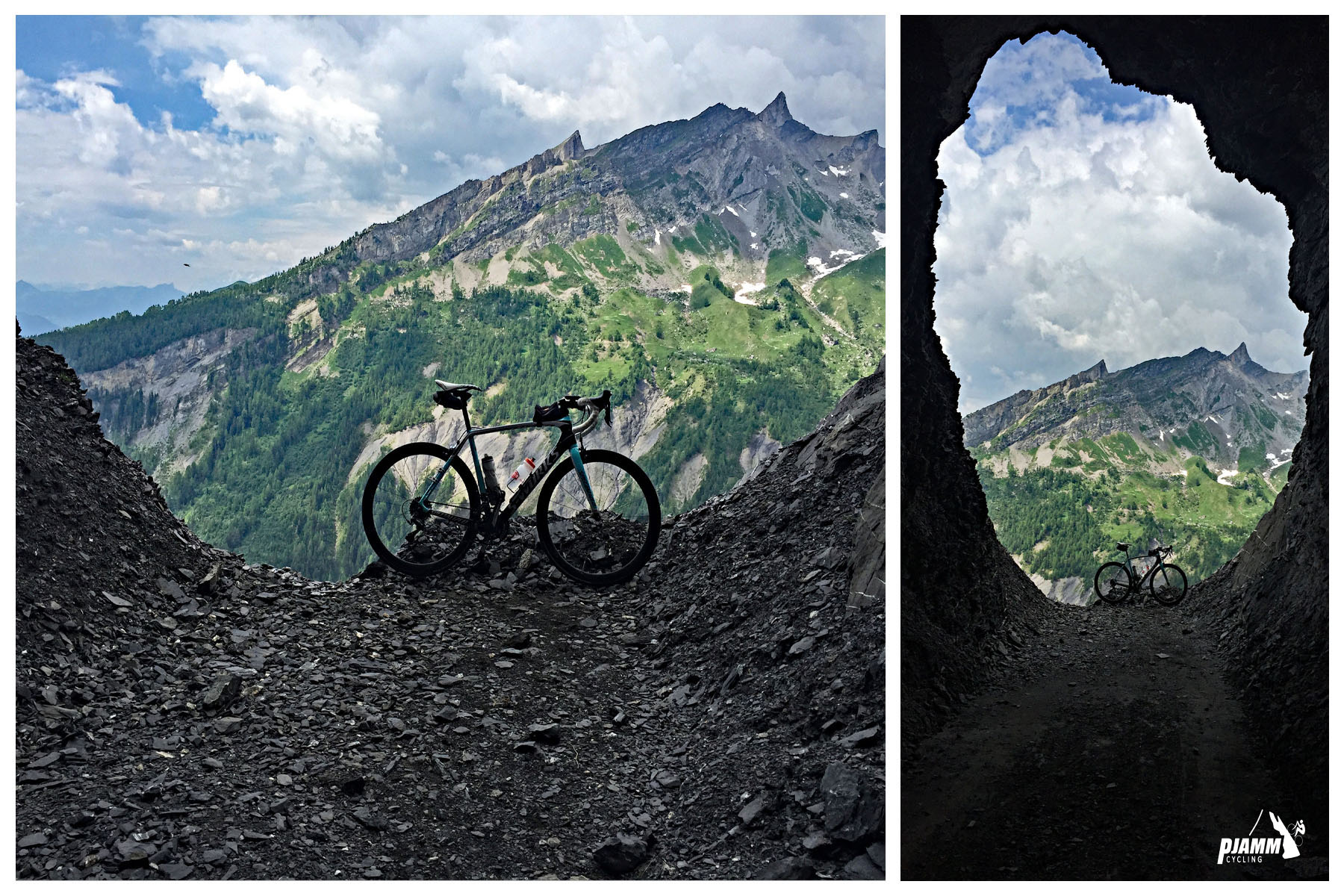
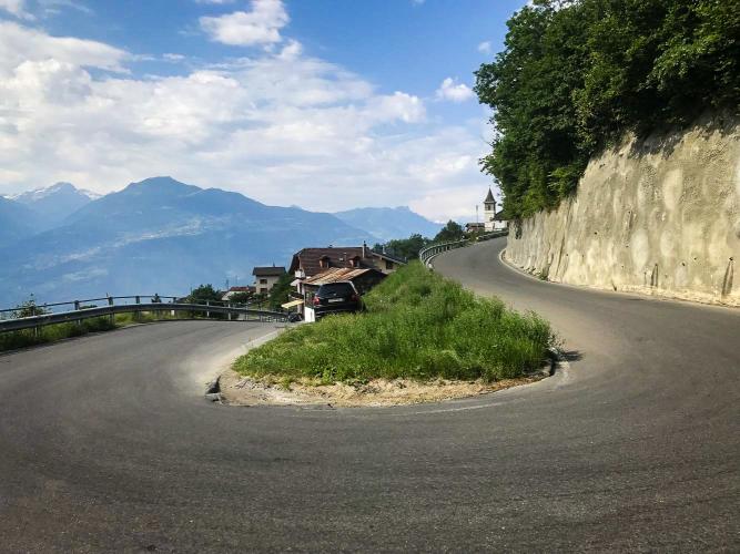
The route builds through three distinct zones: it starts by climbing out through the vineyards of Saviese and Conthey, then enters larch and spruce forest as the road gains altitude, and finally breaks out above the treeline onto open alpine pasture for the final push to the pass. Along the way, an 800-meter tunnel blasted through solid rock delivers riders out almost face-to-face with the glacier's retreating moraine - a genuinely dramatic finish that's rare among Alpine passes.
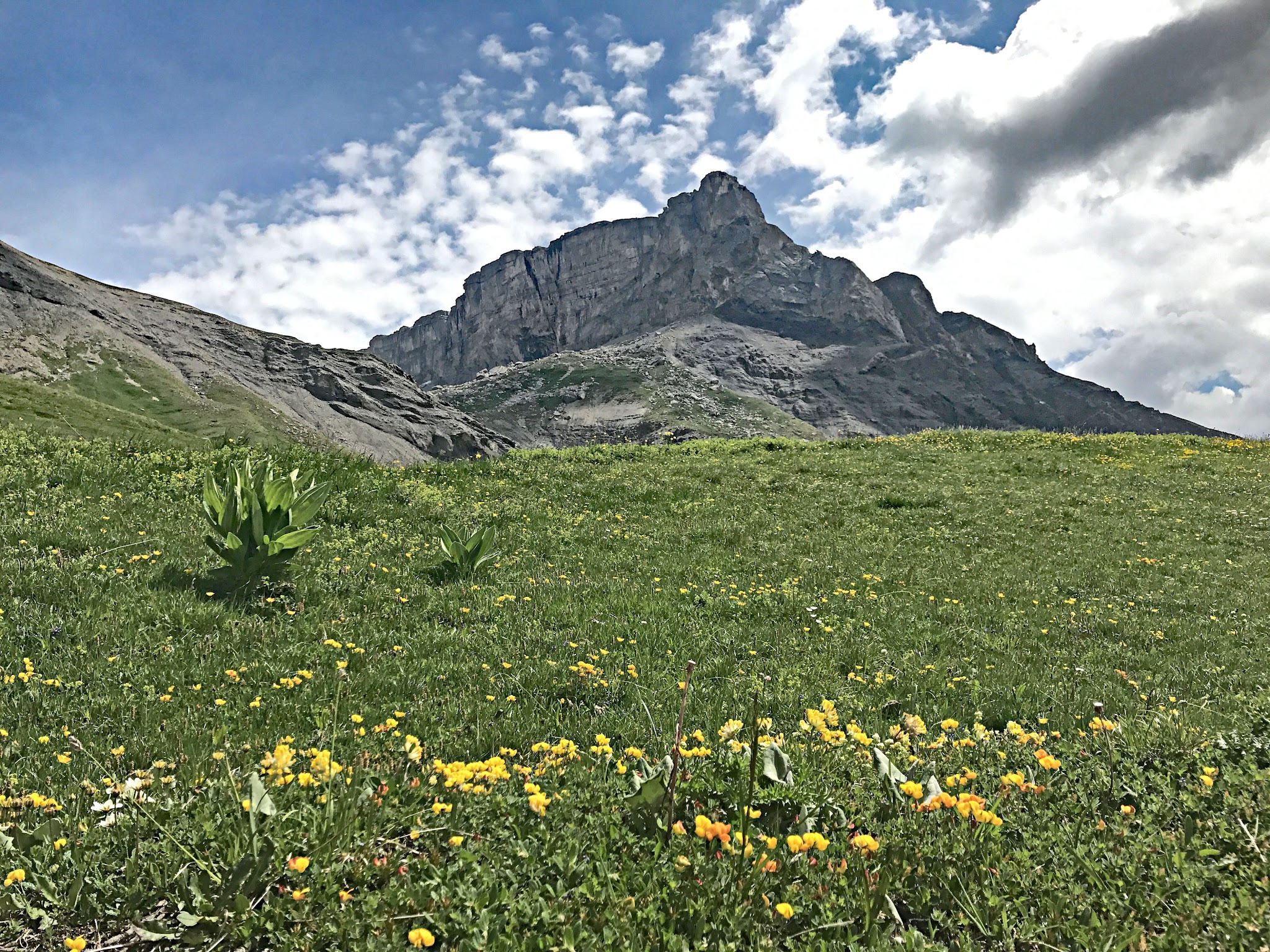
Sanetschpass is a seasonal high mountain road, open only from roughly June through September or October each year and closed by snow the rest of the time, so plan trips for peak summer. Like glaciers throughout the Alps, the Tsanfleuron ice field the pass overlooks has visibly retreated in recent years, so the view from the top keeps changing year to year.
PLAN YOUR ROUTE
 We've partnered with Sherpa-Map.com to bring you the best route planning tool. With a PRO Membership you can use this climb as a reference when creating your route.
 Sanetschpass's 6.9% average is deceptively mellow for a 15.6-mile climb - the road never gets extreme, but it also rarely lets up. The steepest quarter mile point-to-point reaches 12.2%, the steepest full mile averages 9.4%, and even the hardest continuous 5 miles still average 8.2%. Expect a long, steady grind rather than a series of brutal pitches.
Roadway: The climb is fully paved, including through the 800-meter rock tunnel near the top, and holds up well for a road at this altitude. It's a seasonal alpine road - snow typically closes it from around October through May, so check current conditions before planning a ride.
Traffic: Light to moderate. The lower vineyard sections near Saviese and Conthey see local traffic, and the pass itself draws some tourist and motorcycle traffic on clear summer days, but it's far quieter than most major Alpine passes. The tunnel is narrow in places, so use lights and caution.
Parking: Park in Conthey near the roundabout where Route de Savoie meets Route du Bourg, at the base of the climb. Sion, about 10 minutes away, is the larger regional hub with more extensive services, bike shops, and train access.
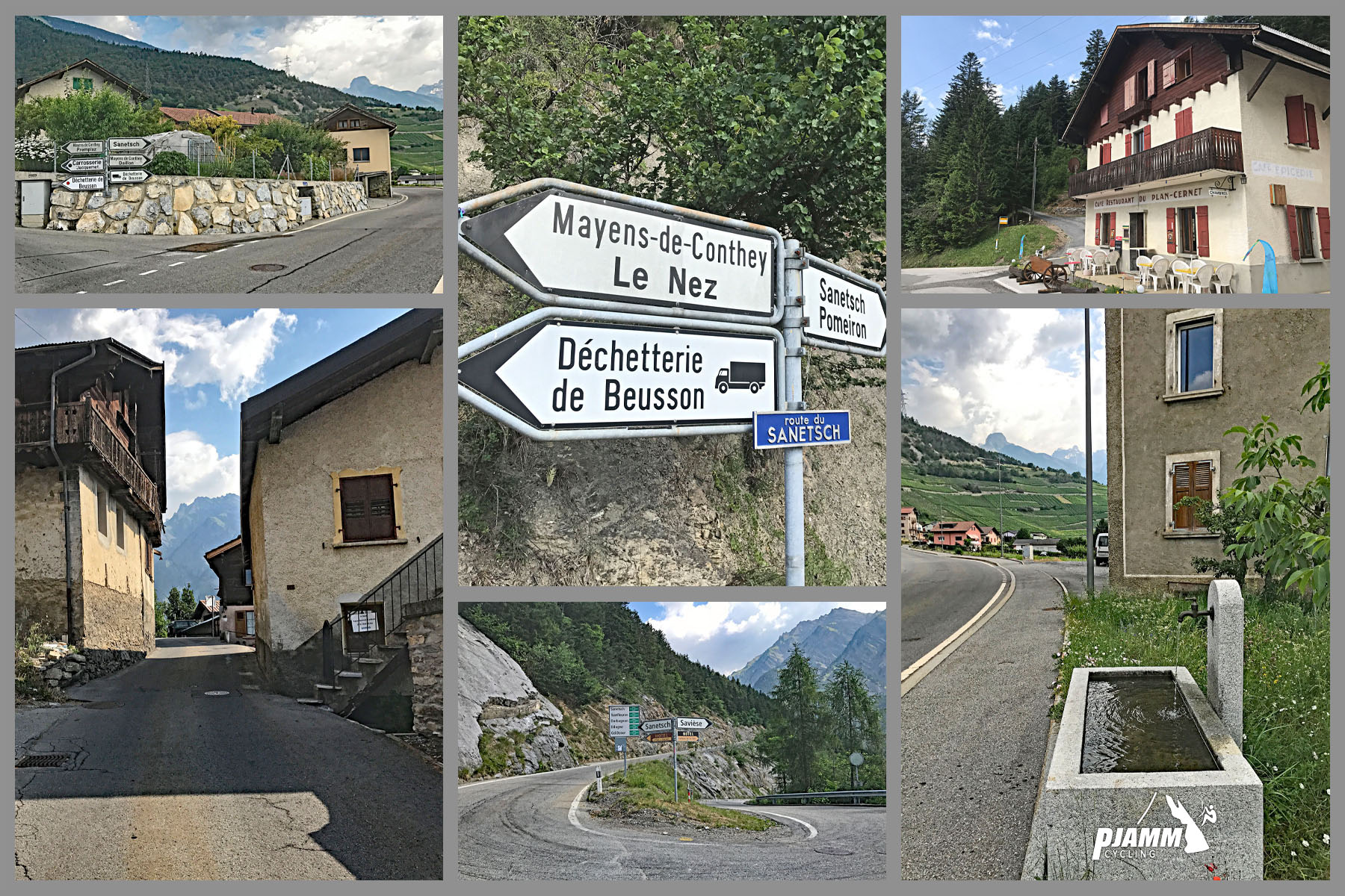
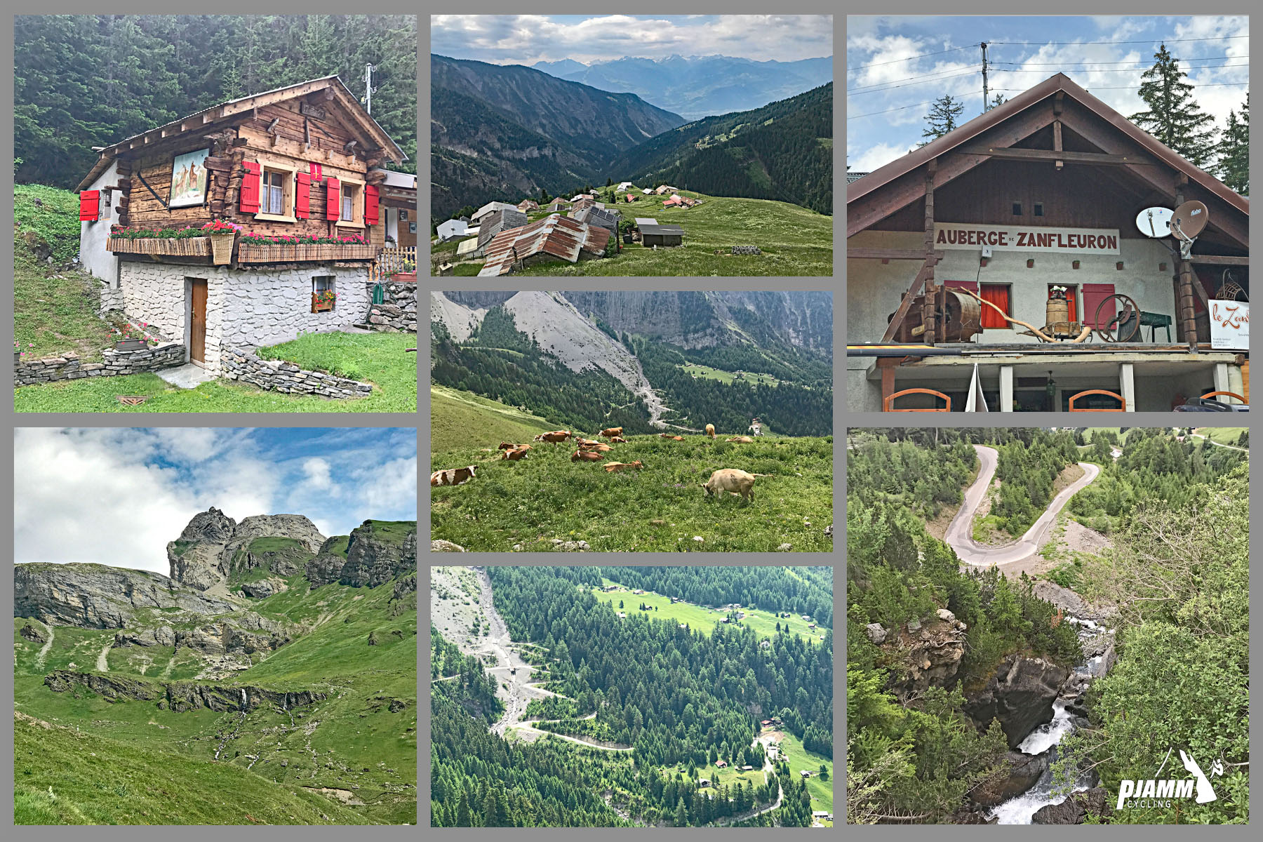
There's a cafe (Cafe Zanfleuron) around mile 8.6 / km 13.8, roughly two-thirds of the way up, but hours can be unpredictable at this altitude and it's not something to plan a nutrition strategy around - carry your own food and water for the full 15.6-mile climb.
Temperatures drop noticeably above 2,000 meters even in summer, and wind near the glacier can be sharp, so pack real layers for the descent, not just a light vest.
Before heading out on any cycling adventure check out our Things to Bring on a Cycling Trip and use our interactive check list to ensure you don't forget anything.
Conthey and nearby Sion make a good base for tackling Sanetschpass alongside other legendary Valais climbs - the region has one of the highest concentrations of top-ranked climbs in the world. Sion has full services: hotels, restaurants, bike shops, and a train station.
Because conditions at nearly 2,250 meters near a glacier can shift quickly even in summer, check conditions before you go with our Weather tool.
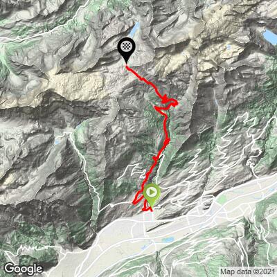
ROUTE MAP
MEMBER RATING
CURRENT WEATHER
PJAMM TRIPS ADVENTURE STARTER BUNDLES
Check out PJAMM Adventure's prepackaged (self-guided) cycling trips. They will help you plan, document and conquer your next adventure.
NEARBY CLIMBS (0) RADIAL PROXIMITY
FROM No Climbs Found
MEMBER REVIEWS & COMMENTS
Let us know what you thought of this climb. Signup for our FREE membership to write a review or post a comment.
Already have an account?
LOG IN HERE
golmstead
A fantastic ride! Started out In Sion, and got to the bottom of the climb soon enough. We rode through neighborhoods, then vineyards, then forests, then what was a weird sort of lunar landscape. And all around are breathtaking mountains. At the top, we stopped for lunch, then took the bike-friendly gondola nearly straight down to the valley floor, near Gsteig bei Gstaad. From there, we rode up and over Col de la Croix, which was also a nice climb but not nearly as challenging as the first climb.
thall1
peak peak peak peak peak
Enjoyability: 100/100 (my fav climb)