46.8
PDI
25.6 mi
DISTANCE
8,112 ft
GAINED
5.6 %
AVG. GRADE
FULL CLIMB STATS
Page Contributor(s): Ard Oostra, Switzerland; Clarence King, Del Mar, California.
INTRO
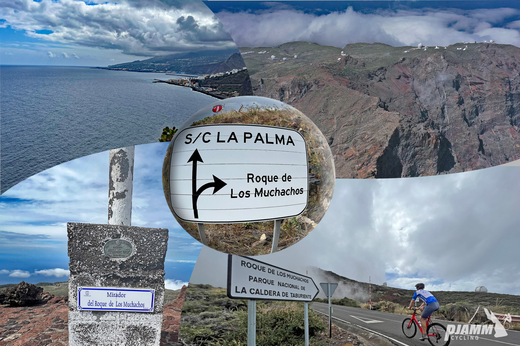
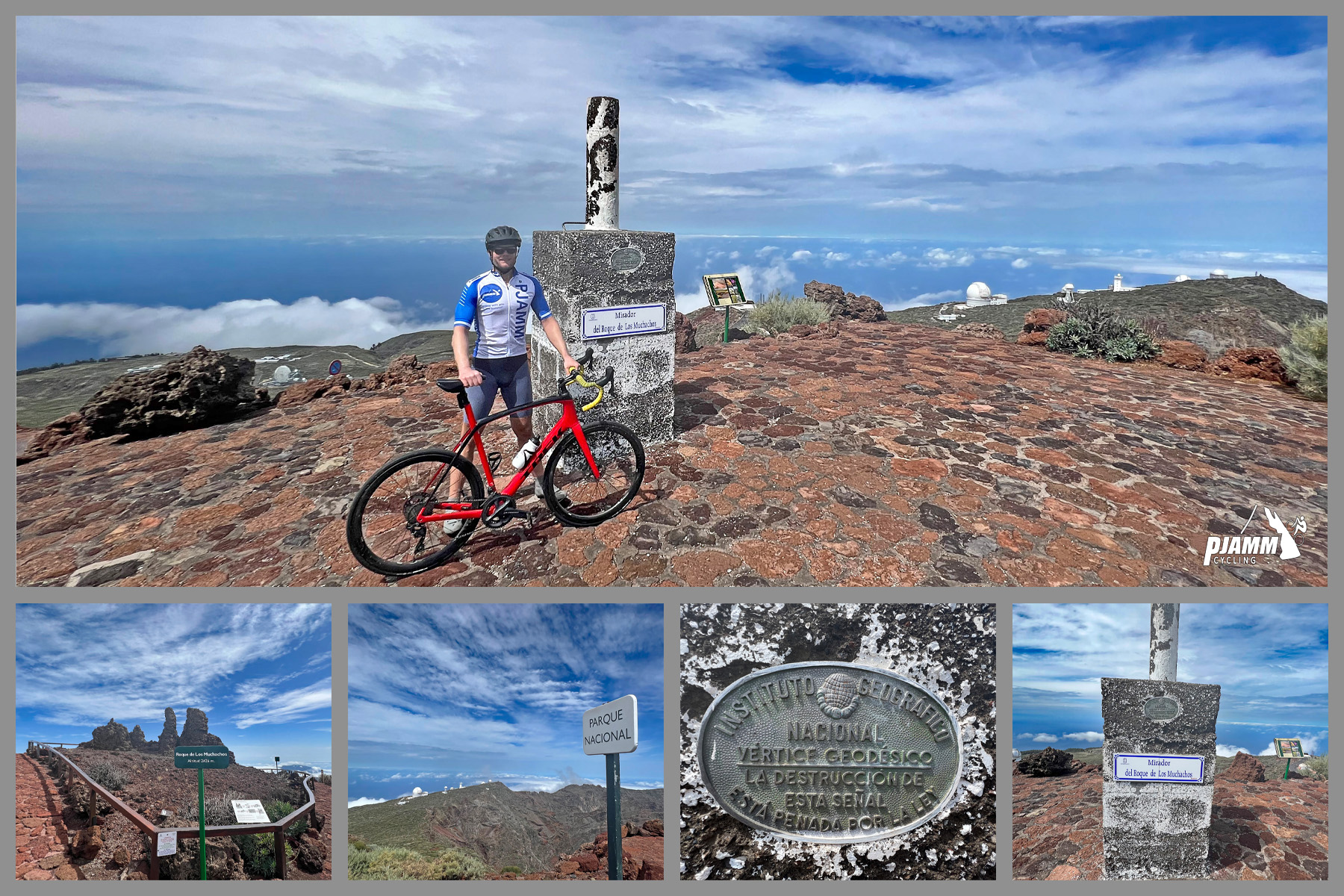
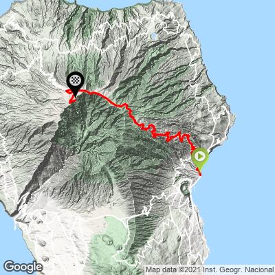
The East ascent of Roque de los Muchachos climbs from sea level in Santa Cruz de la Palma to the summit of La Palma - the highest point in the western Canary Islands at 2,426 m (7,959 ft). Over roughly 41 km (25.6 mi) and 2,473 m (8,112 ft) of gain, the route follows the LP-1 out of town before joining the LP-4 for the long push to the top, currently the #55 hardest climb in the world.
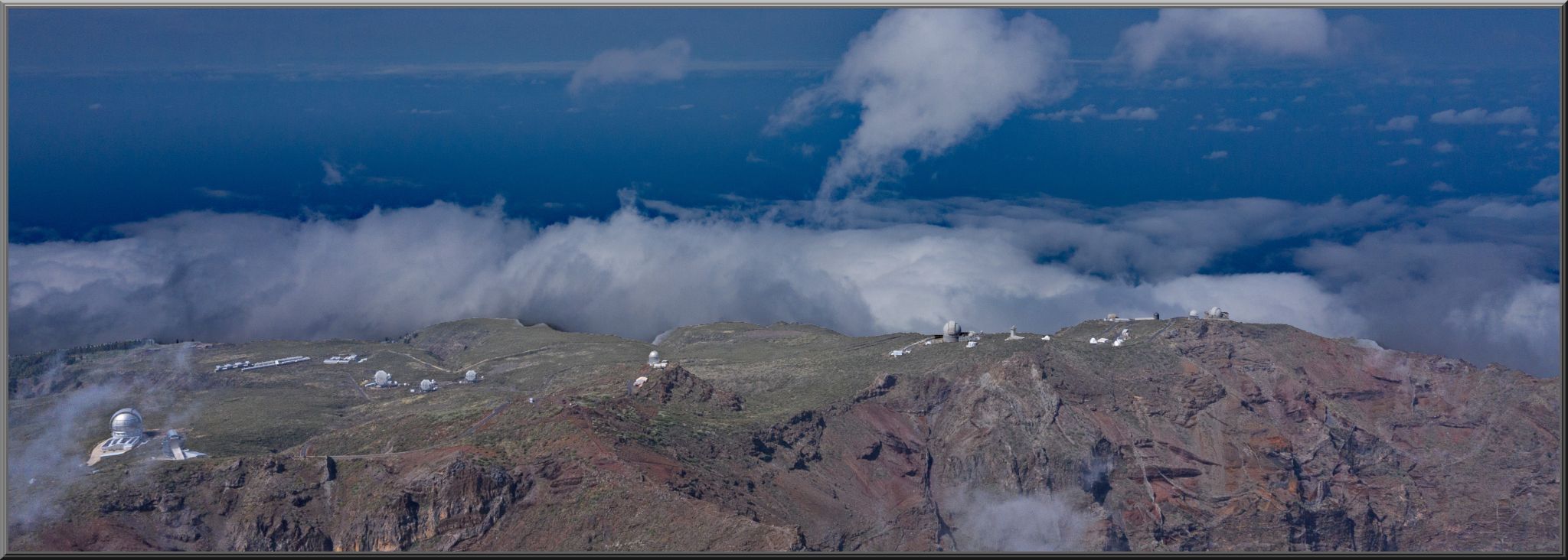
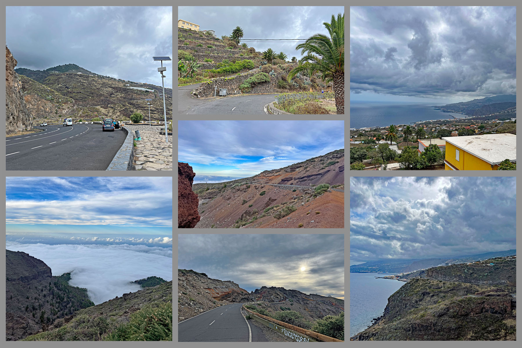
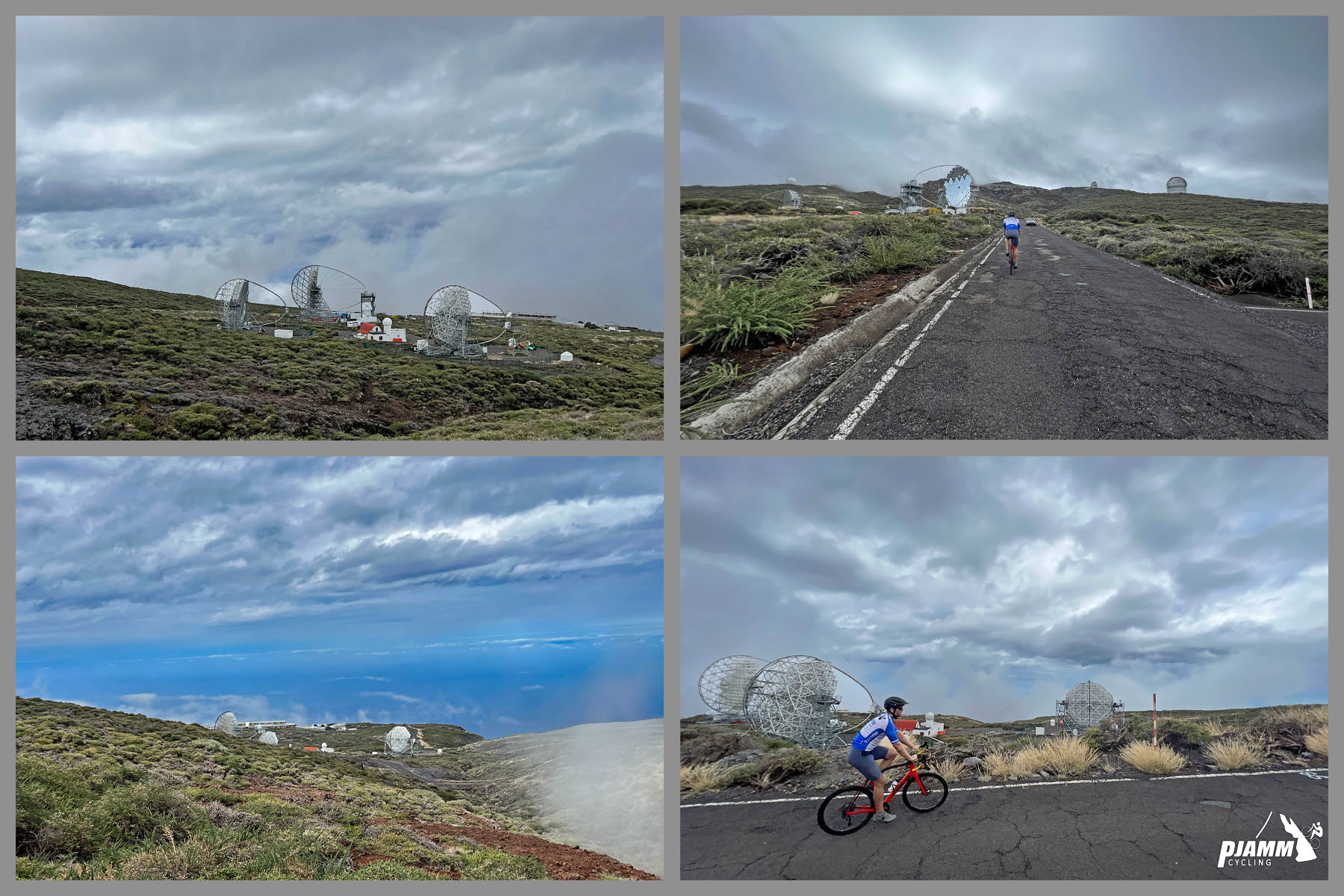
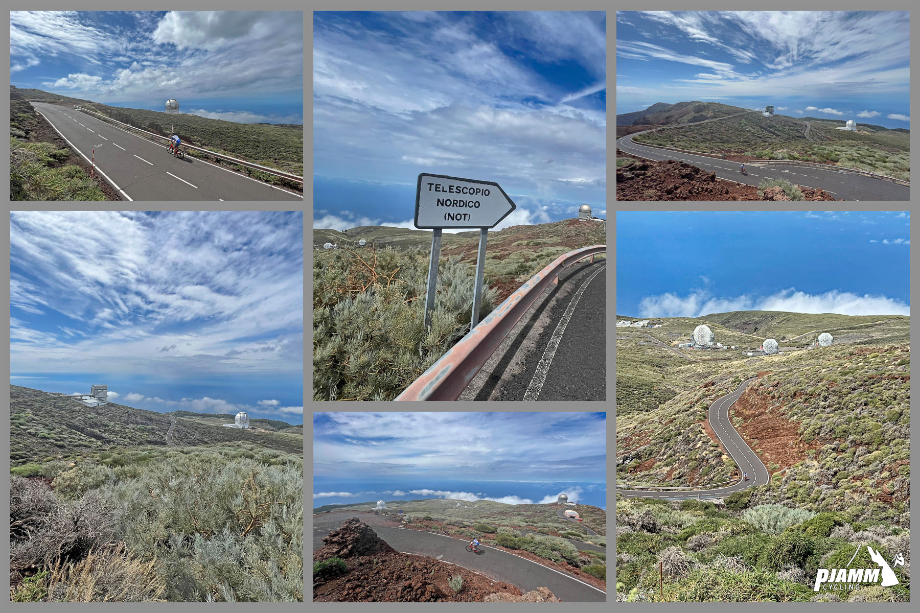
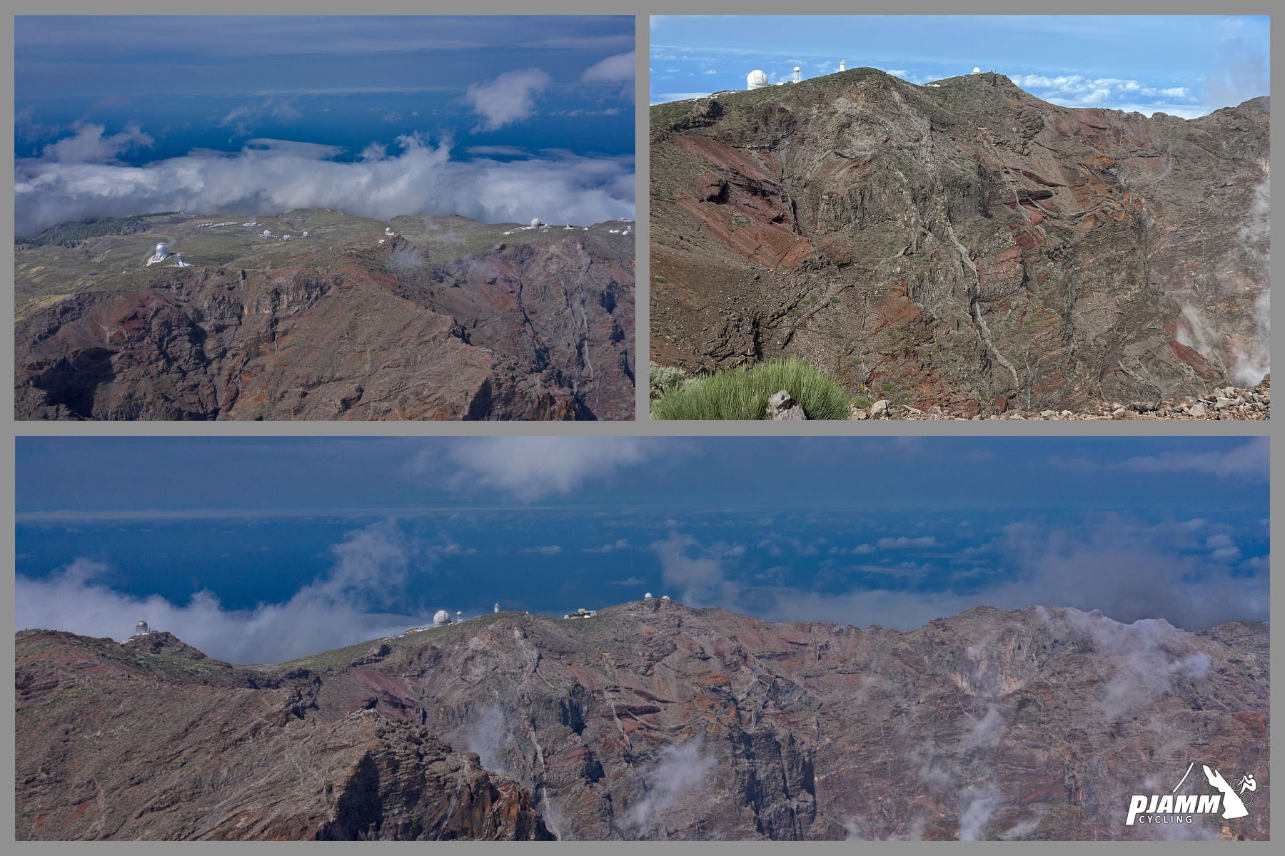
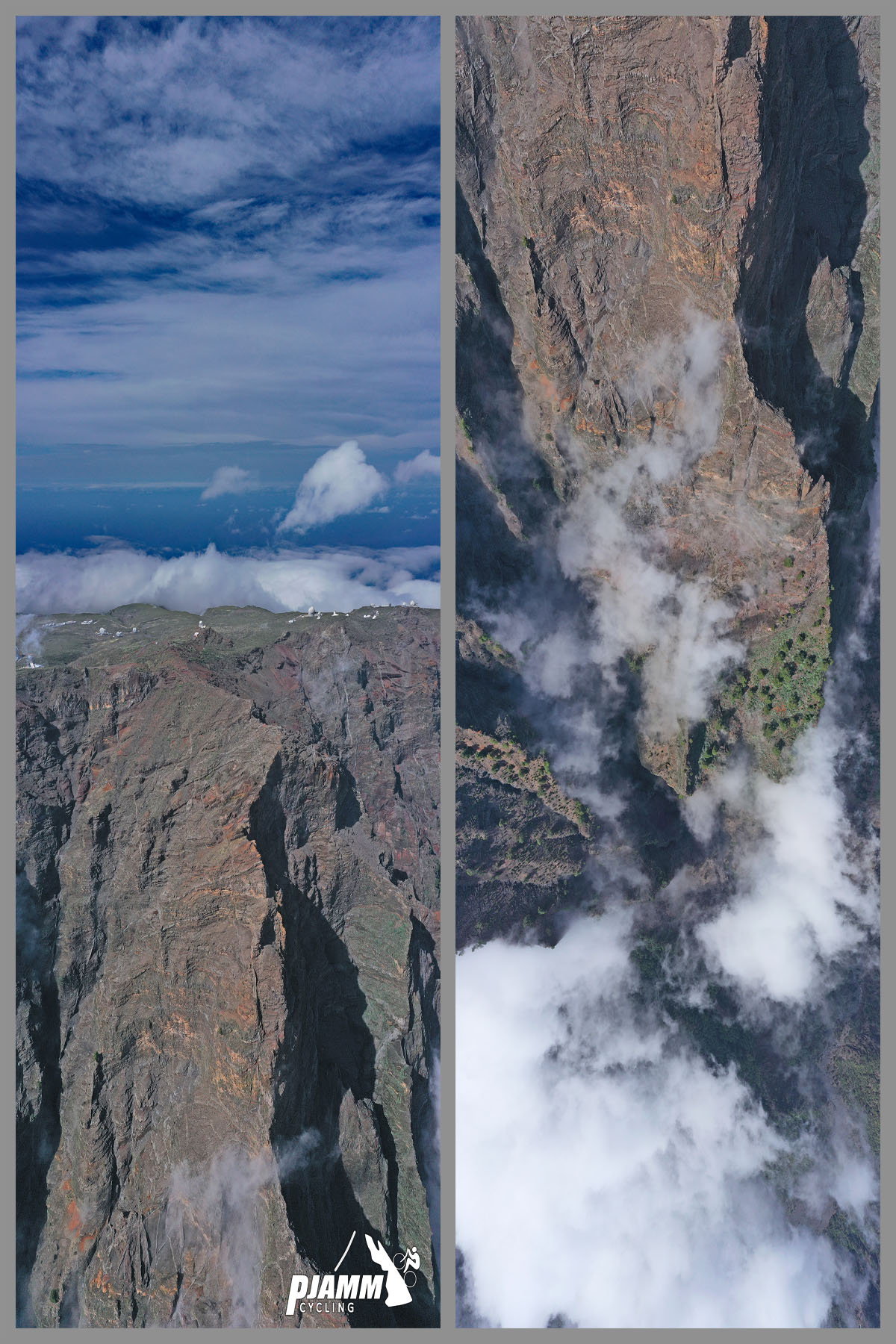
The name "Roque de los Muchachos" - "Rock of the Boys" - refers to a small cluster of weathered volcanic rocks near the summit, said to resemble a group of young boys. The ride itself is just as dramatic: riders leave the coast through banana plantations and laurel forest, break above the treeline into bare volcanic terrain around 2,000 m, and finish among some of the most important astronomical observatories on Earth.
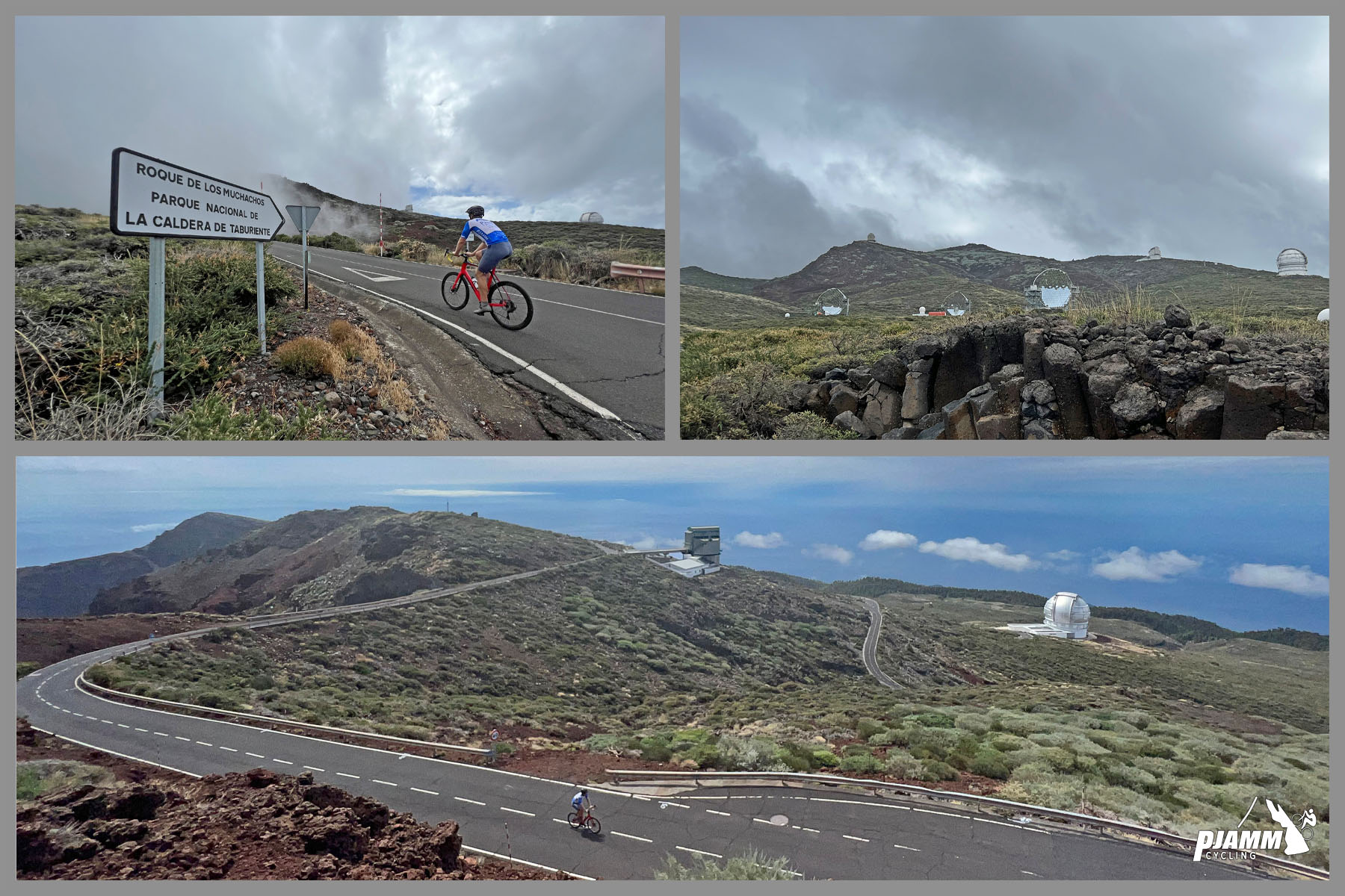
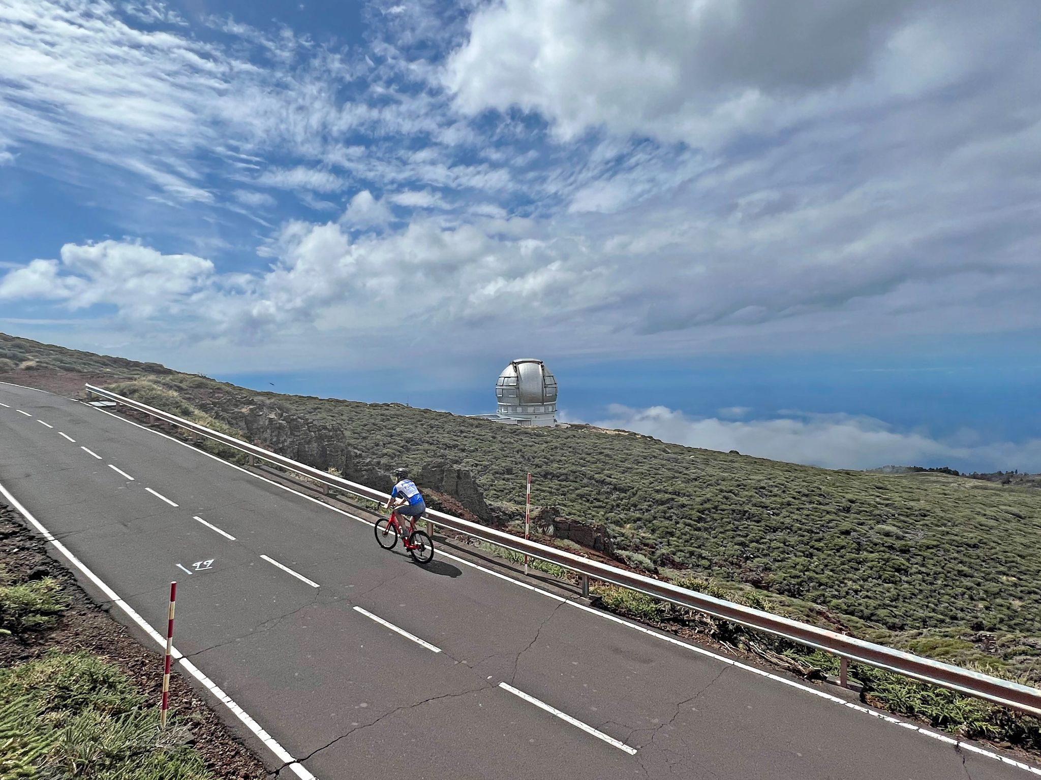
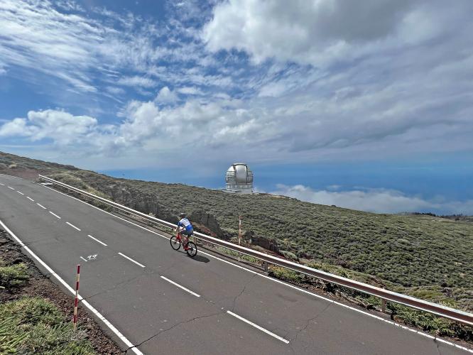
Established in 1985, the Roque de los Muchachos Observatory is considered the second-best site in the Northern Hemisphere for astronomical observation, behind only Mauna Kea, thanks to the island's altitude, clean air, and dark skies. Its telescopes include the Gran Telescopio Canarias (GTC), whose 10.4 m segmented mirror still makes it the largest single-aperture optical telescope operating anywhere in the world.
PLAN YOUR ROUTE
 We've partnered with Sherpa-Map.com to bring you the best route planning tool. With a PRO Membership you can use this climb as a reference when creating your route.
 This is a long, three-act climb. The first roughly 32 km averages a manageable 6.8% as you climb out of Santa Cruz de la Palma and up through the forest zone. That's followed by an unusual mid-route breather: a 5.3 km, 2.4% descent that gives back about 165 m before the road bottoms out and turns onto the final approach to the summit. The last 3.9 km is the sting in the tail, averaging 7.3% with sustained pitches up to around 12% as you climb the last volcanic slopes to the observatories at 2,426 m. Save something for that final stretch - it comes after 35-plus km already in your legs.
Roadway: The climb starts on paved city streets and the LP-1 out of Santa Cruz de la Palma, then joins the LP-4, which is asphalted the entire way to the summit. Surface quality is generally good. As of mid-2026, the Cabildo (island council) has an active repaving and slope-stabilization project on the upper LP-4 and the connecting LP-403 into the observatories, with weekday lane closures in effect since late July 2026 "until further notice" - check current status before riding on a weekday. Expect a few pitches near 12% in the final kilometers.
Traffic: Generally light to moderate - a quiet, winding mountain road for most of its length, with more car and tour-bus traffic near the summit around observatory tour times. Fog, low cloud, and even winter ice or snow are common at altitude and have closed the upper road entirely in past winters, so treat this as a fair-weather-season climb.
Parking: Free street parking is available near the start on Avenida Maritima in Santa Cruz de la Palma. At the summit, a small paved lot serves the visitor center and observatories - it's compact and fills quickly, especially right after guided observatory tours let out.
Pack for two climates in one ride: temperatures at sea level in Santa Cruz de la Palma can be 10-15C (20-25F) warmer than at the 2,426 m summit, which is frequently windy, foggy, or below freezing outside the warmer months. Bring arm and leg warmers, a packable wind/rain shell, and full-finger gloves even if it's warm at the start.
There are no services once you leave town until the top - carry all the water and food you need for a 3-5+ hour effort. At the summit, the Roque de los Muchachos visitor center has vending machines for drinks and snacks, but treat that as a bonus, not your fueling plan - hours vary and it's a long way to be caught short.
Given the sustained final pitches (up to roughly 12%) after more than 30 km already in the legs, a compact crankset or a wide-range cassette is worth having - this isn't a climb to discover you're under-geared three hours in.
Before heading out on any cycling adventure check out our Things to Bring on a Cycling Trip and use our interactive check list to ensure you don't forget anything.
We'd base in Santa Cruz de la Palma, the island's capital and the start of this ascent - it has the widest range of hotels and restaurants on La Palma, plus easy access to the ferry port and the island's airport.
La Palma's small regional airport has seasonal flights from several Spanish and European cities; renting a car is the easiest way to get around the island and to shuttle a vehicle if you're not descending the same way you climbed.
Plan for a clear day - the whole point of riding to an observatory is the view, and La Palma's upper slopes are frequently in cloud, especially in winter. Spring through autumn generally offers the most reliable conditions, and mornings tend to be clearer than afternoons as cloud builds over the island's interior through the day.
Bring layers for the summit regardless of season, and check current road status - the LP-4/LP-403 corridor has had ongoing repaving work through 2026.
ROUTE MAP
MEMBER RATING
CURRENT WEATHER
PJAMM TRIPS ADVENTURE STARTER BUNDLES
Check out PJAMM Adventure's prepackaged (self-guided) cycling trips. They will help you plan, document and conquer your next adventure.
NEARBY CLIMBS (0) RADIAL PROXIMITY
FROM No Climbs Found
MEMBER REVIEWS & COMMENTS
Let us know what you thought of this climb. Signup for our FREE membership to write a review or post a comment.
Already have an account?
LOG IN HERE
mblanarik
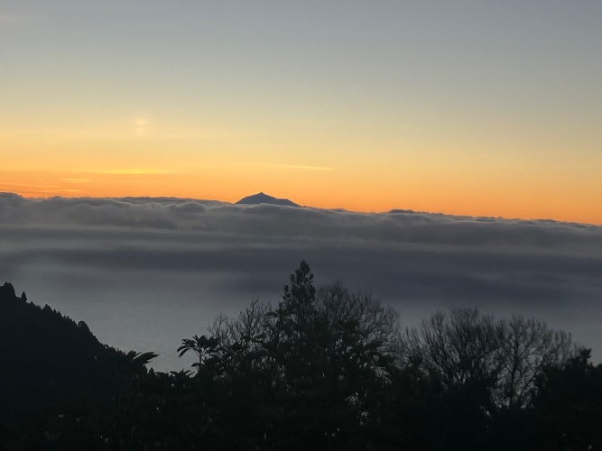
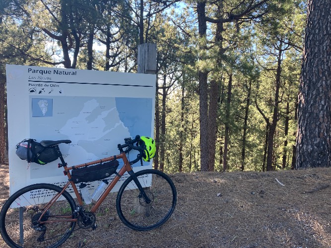
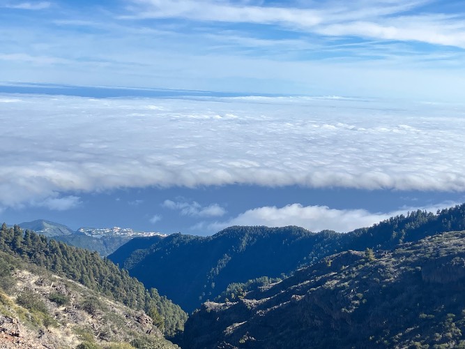
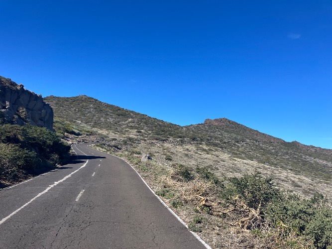
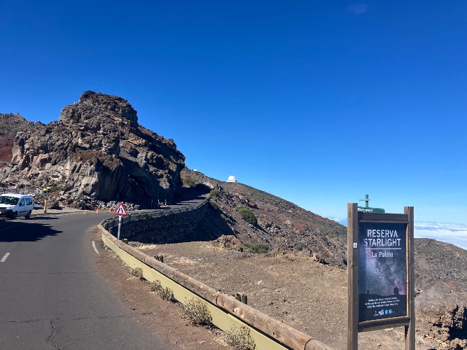
Out of the 3 climbs on La Palma, this one is the most pleasent one to ride. This is still tough, but nicely rideable & fun. Traffic is very low, there are nice views on Tenerife & La Gomera. Once you leave the forrest (around 2000m) it‘s bare volcanic landscape. I rate the scenery as 3 because most of the climb is through the forrest, which is not any special. Towards the top the views & scenery becomes really nice.
For the decent, I took the western side, which I was really happy to go down only. This eastern side has the right balance of challenge & enjoyment.