31.4
PDI
5.9 mi
DISTANCE
3,436 ft
GAINED
11.1 %
AVG. GRADE
FULL CLIMB STATS
INTRO
Rifugio Barbara Lowrie climbs 5.9 miles from Villar Pellice, in the Val Pellice valley of Piemonte's Cottian Alps, gaining 3,436 feet at a brutal 11.1% average grade to the refuge's door at 1,753 meters. Short as it is, it's one of the steepest sustained climbs in this part of Italy.
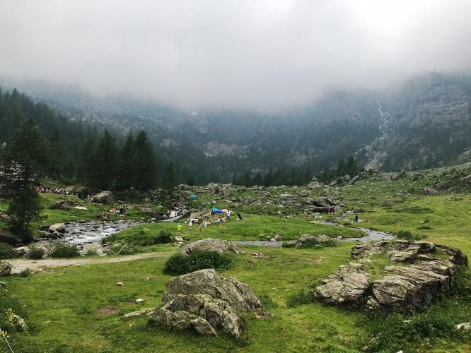
The road climbs through forest before breaking into the open, wild Valle dei Carbonieri, a narrow side-valley walled in by the peaks of Monte Manzol and Monte Granero. It's paved the entire way but stays narrow throughout, with tight switchbacks stacking up in the final few kilometers - riders have described it as feeling more like a bike path than a road in places.
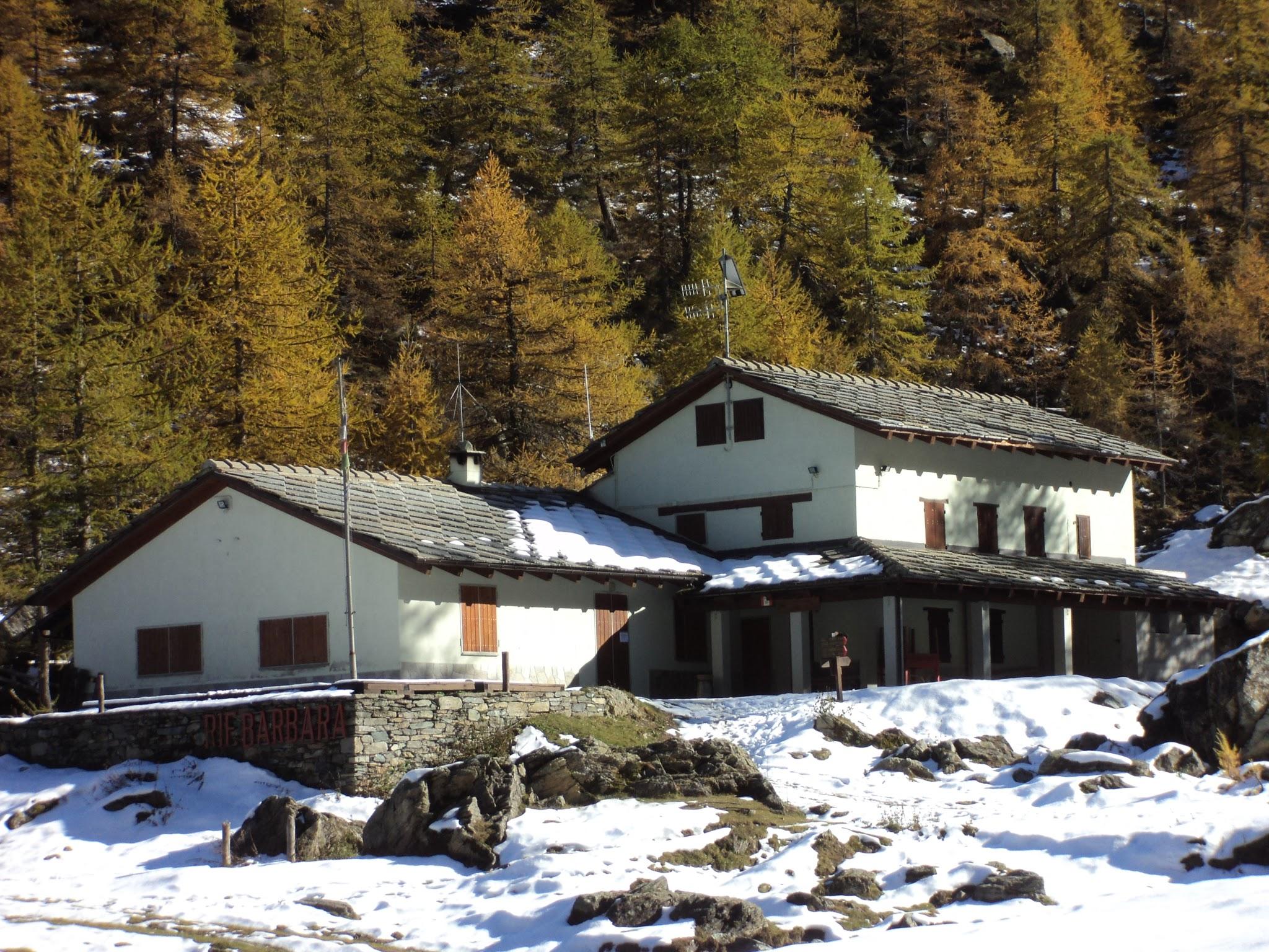
The refuge itself has real history - it was built in the late 1920s by Walter and Barbara Lowrie, a couple who donated it to the Val Pellice section of the Club Alpino Italiano, which opened it as a staffed mountain hut in 1931. It's since been renovated and expanded, and today offers 24 beds and a 60-seat dining room, making it a genuinely popular destination for both cyclists and hikers heading further into the Cottian Alps.
The refuge is normally staffed and open from May 1 through October 31, snow and road conditions permitting, so this is a seasonal climb best planned for summer. Check current conditions with our Weather tool before heading up, since the valley sits well above 5,000 feet at the top.
PLAN YOUR ROUTE
 We've partnered with Sherpa-Map.com to bring you the best route planning tool. With a PRO Membership you can use this climb as a reference when creating your route.
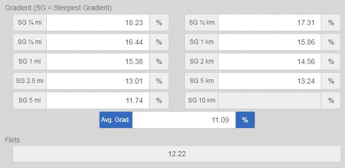
 Rifugio Barbara Lowrie's 11.1% average over just 5.9 miles makes it one of the steepest short climbs in the region. The steepest mile holds 15.1%, and the steepest kilometer ramps up to 15.6%. The hardest pitches come in bursts near the final switchbacks, with the steepest quarter mile at 18.1% and a brief section spiking to 22.3% over 100 yards. There's little real recovery anywhere on this climb - even the calmer stretches rarely drop below 8-9%.
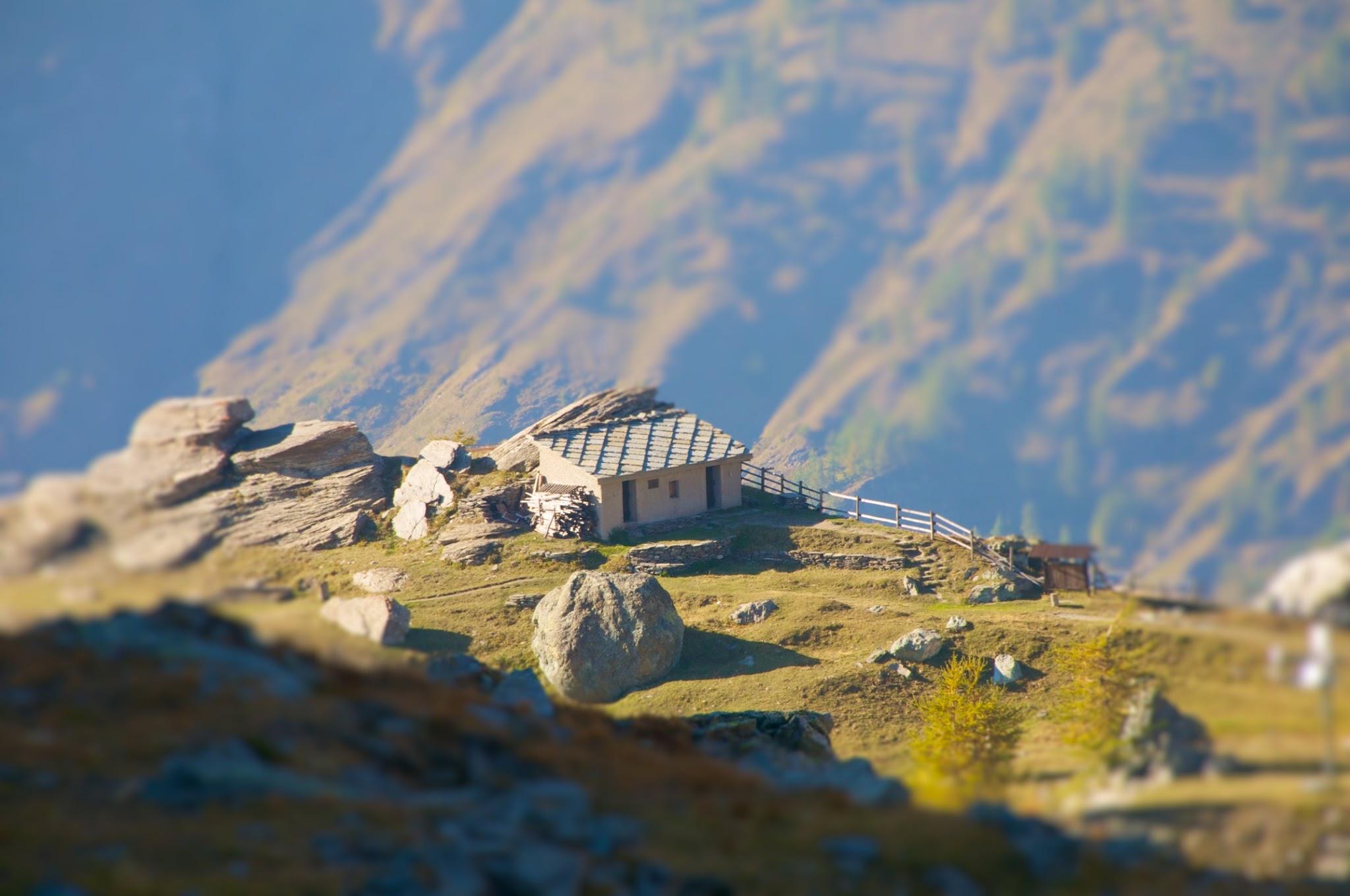
Roadway: The road is paved the entire way to the refuge and has been resurfaced and well-maintained in recent years, though it stays narrow throughout, with little to no shoulder and some exposed sections above the tree line. It's popular enough with local cyclists and mountain bikers that the Val Pellice CAI section itself describes it as a well-traveled route.
Traffic: Traffic is light - mostly other cyclists, refuge guests, and the occasional local vehicle - though the narrow roadway means even light traffic requires some care on the switchbacks.
Parking: There's a large parking area at the refuge itself for those driving up, but most cyclists simply start in Villar Pellice, where there's ample roadside parking in the village.
Villar Pellice has a few small shops and cafes for a pre-ride stock-up, and it's your last real option - there's nothing between the village and the refuge. Rifugio Barbara Lowrie itself, when open (normally May through October), has a full restaurant and bar, so it's a legitimate place to refuel at the top before heading back down - a rare luxury for a climb this short and steep.
Before heading out on any cycling adventure check out our Things to Bring on a Cycling Trip and use our interactive check list to ensure you don't forget anything.
Villar Pellice and nearby Bobbio Pellice, the last village in the valley, both make easy, low-key bases for a visit, well off the more touristed routes near Turin. The refuge itself is a genuine hiking hub, with trails from its door reaching several other cols and huts in the Cottian Alps, including Rifugio Willy Jervis over the Colle Barant - worth a stop even if you're not continuing on foot. Plan for a summer visit if you want the refuge open and serving food at the top, since it closes for the season by early November.
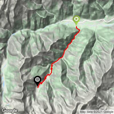
ROUTE MAP
MEMBER RATING
CURRENT WEATHER
PJAMM TRIPS ADVENTURE STARTER BUNDLES
Check out PJAMM Adventure's prepackaged (self-guided) cycling trips. They will help you plan, document and conquer your next adventure.
NEARBY CLIMBS (0) RADIAL PROXIMITY
FROM No Climbs Found
MEMBER REVIEWS & COMMENTS
Let us know what you thought of this climb. Signup for our FREE membership to write a review or post a comment.
Already have an account?
LOG IN HERE