INTRO
PLAN YOUR ROUTE
 We've partnered with Sherpa-Map.com to bring you the best route planning tool. With a PRO Membership you can use this climb as a reference when creating your route.
 ROUTE MAP


 We've partnered with Sherpa-Map.com to bring you the best route planning tool. With a PRO Membership you can use this climb as a reference when creating your route.
Cycling Carson Pass East.
Ride 14.3 miles gaining 3,030’ at 4% average grade.
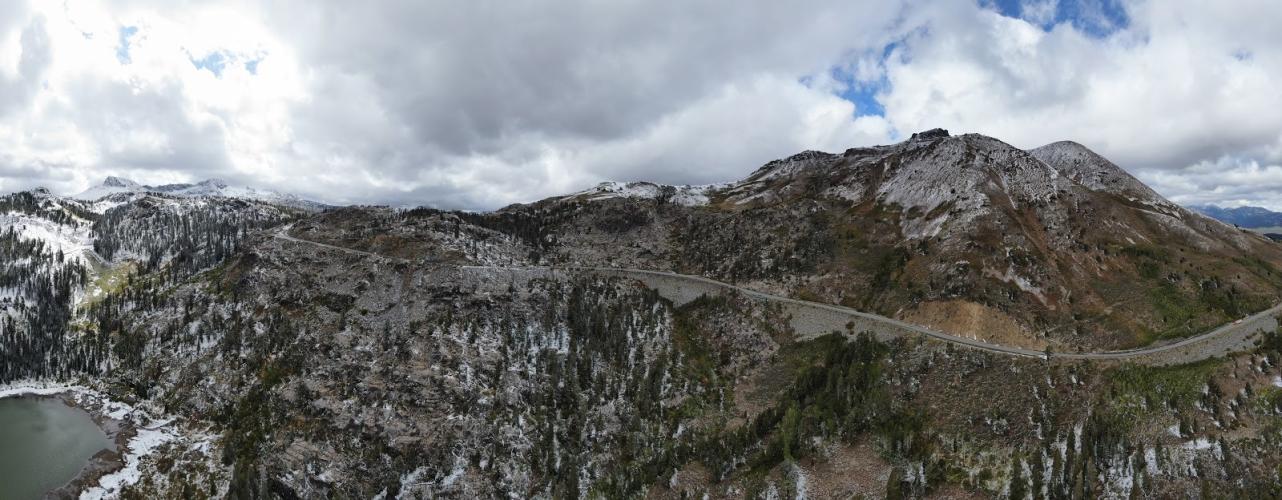
Photo: Last mile to the summit (pass is upper middle of photo).
This climb begins about 90 miles into the Death Ride (after about 12,100' of climbing). Visit our Death Ride page for detailed information on each route and climb in this ride.
This is the one pass that is not closed to motor vehicles during the Death Ride. You will likely be climbing into a moderate to strong headwind the entire 14 miles or so up the pass, so be prepared. While the "average grade" is only 3.7%, be mentally prepared for a long steady slog into the wind; you will be rewarded with ice cream at the top. The 3.7% average grade is misleading because there are several miles of flat riding which makes the remaining climb much steeper than 3.7% -- more in the 6% range, but never anything extreme (although it surely may seem that way after so much riding and climbing).
Although not marked on the Death Ride course map for 2014, there has been a rest stop half way up Carson Pass the years we have participated (2009-2015).
We pass Red Lake near the finish.
Roadway Surface and Traffic Report: The roadway surface is very good and there is a clear and wide bike lane most of the climb. However, this is clearly a highway which will be very obvious to you as cars, trucks, trailers (even cyclists by this time, depending on how you feel) will whiz by. The Death Ride’s organizers put out signs in many locations warning drivers of the event, and drivers would have to be completely unconscious of their surroundings to under-appreciate the presence of cyclists on Carson Pass during the Death Ride.
Sorenson’s Resort halfway up the ride is a wonderful place to stay, we recommend it.
That’s a wrap!!