14
PDI
4.6 mi
DISTANCE
1,944 ft
GAINED
8.1 %
AVG. GRADE
FULL CLIMB STATS
INTRO
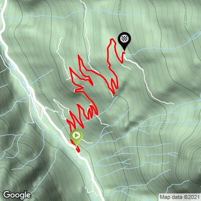
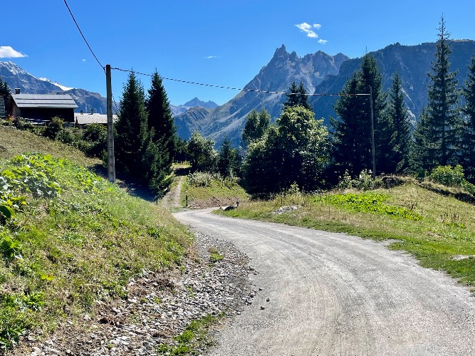
This 4.6 mile bike climb is located in Auvergne-Rhône-Alpes, France. The average gradient is 8.1% and there is a total elevation gain of 1,944 ft, finishing at 5,845 ft.
Use the profile tool, route map, and weather forecast to conquer this cycling climb.
Use the profile tool, route map, and weather forecast to conquer this cycling climb.
PLAN YOUR ROUTE
This climb averages 0%. The steepest quarter mile of this climb is 0%. NaN miles of the climb is at or above 10% grade. The gradient on this climb is broken down as follows:
See more details and tools regarding this climb's grade via our interactive Profile Tool.
See more details and tools regarding this climb's grade via our interactive Profile Tool.
Information Not Available
If you have any information regarding this climb, we'd like to hear from you. Click the CONTRIBUTE button to share your thoughts with us.
Information Not Available
If you have any information regarding this climb, we'd like to hear from you. Click the CONTRIBUTE button to share your thoughts with us.
Before heading out on any cycling adventure check out our Things to Bring on a Cycling Trip and use our interactive check list to ensure you don't forget anything.
Information Not Available
If you have any information regarding this climb, we'd like to hear from you. Click the CONTRIBUTE button to share your thoughts with us.
ROUTE MAP
MEMBER RATING
CURRENT WEATHER
PJAMM TRIPS ADVENTURE STARTER BUNDLES
Check out PJAMM Adventure's prepackaged (self-guided) cycling trips. They will help you plan, document and conquer your next adventure.
NEARBY CLIMBS (0) RADIAL PROXIMITY
FROM No Climbs Found
MEMBER REVIEWS & COMMENTS
Let us know what you thought of this climb. Signup for our FREE membership to write a review or post a comment.
Already have an account?
LOG IN HERE
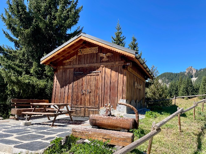
zesoloist
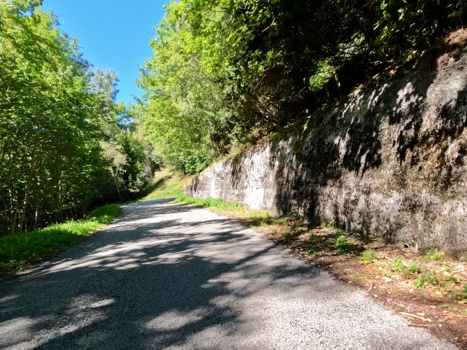
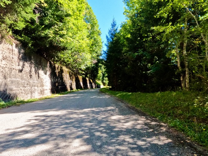
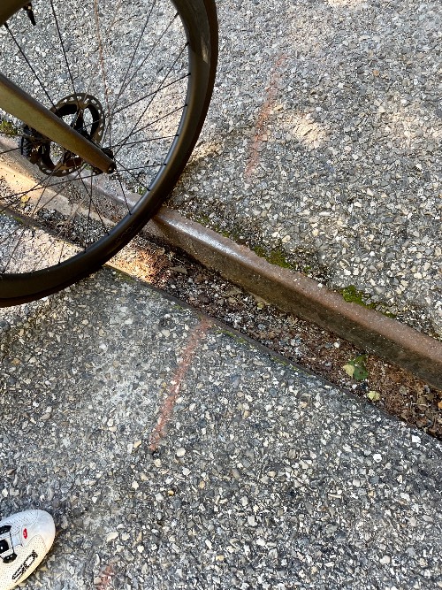
Would not recommend this unless, like me, you like to just climb for climbing sake. Its mostly in the shade but thats about it.The first mile the road is good. Each mile after that gets progressively worse to the point of gravel in corners, potholes, chunks of missing asphalt. The view at the top is nonexistent. The descent is worse. There are drainage channels every 75m. Some have half-inch metal lips on either side, some are pretty parallel to either your entry or exit out the the hairpins. You will use your brakes more than Alpe d’Huez. Do your self a favor and skip this unless youre on a gravel bike and want to continue on past the official end of the climb.