23.4
PDI
15.2 mi
DISTANCE
4,272 ft
GAINED
5.3 %
AVG. GRADE
FULL CLIMB STATS
Page Contributor(s): (Cover photo - Google Street Views); Lisa Irizarry and Matt Jiang, NY, NY
INTRO
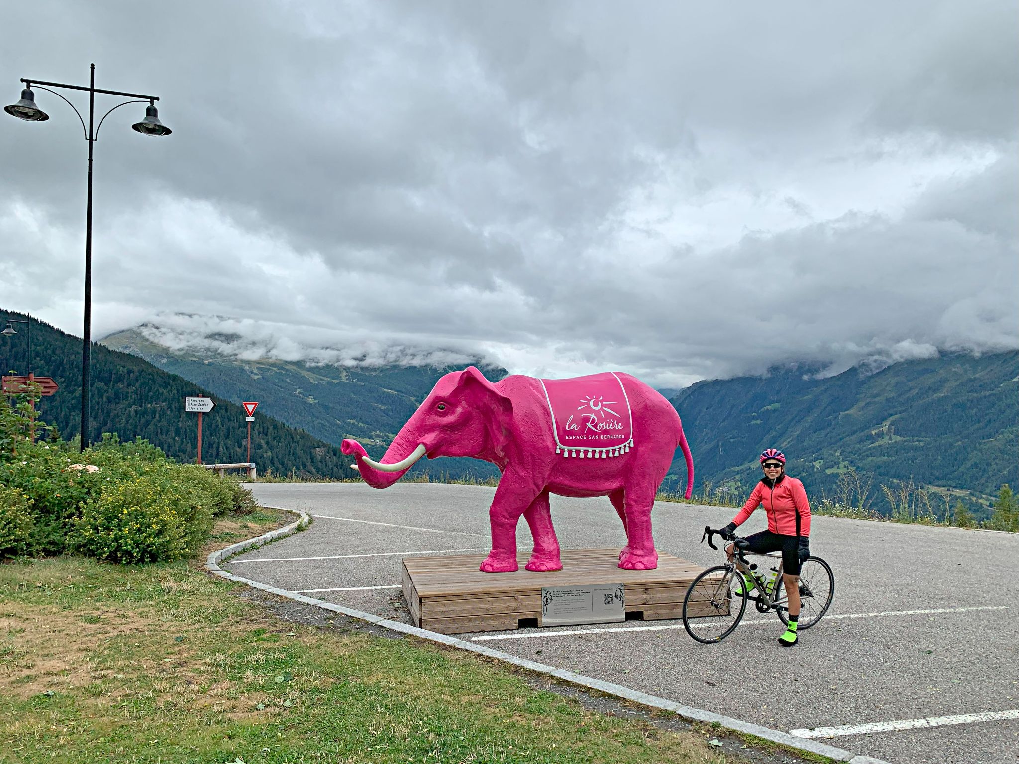
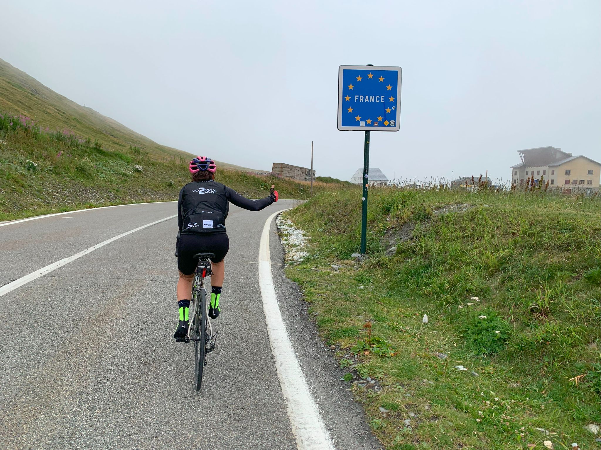
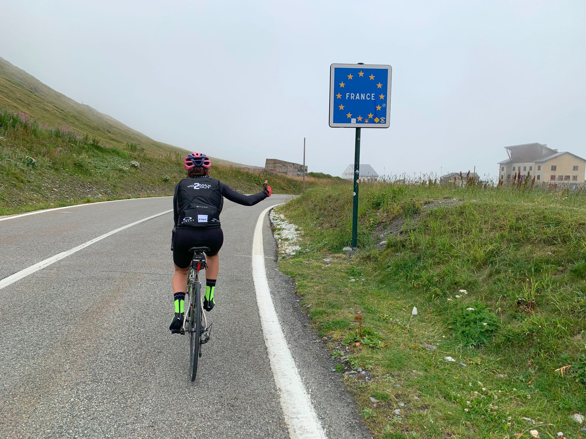
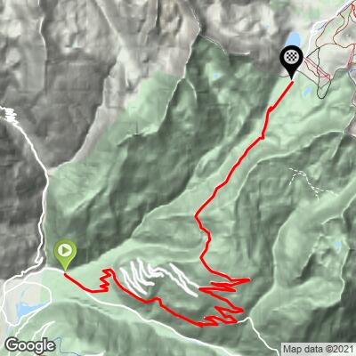
The Col du Petit Saint-Bernard (Pink Road Route) climbs 24.4 km (15.2 mi) from Séez, in the Haute-Tarentaise just above Bourg-Saint-Maurice, gaining 1302 m (4,272 ft) at an average grade of 5.3% to the 2188 m (7,178 ft) pass on the French-Italian border. It's a variation on the classic D1090 ascent: rather than staying on the main road all the way, this route turns off above the hamlet of Noyeray and climbs through the old hamlets of Montvalezan, finishing its steep middle section on La Rosière's famous Pink Road before rejoining the D1090 for the long, open run to the col.
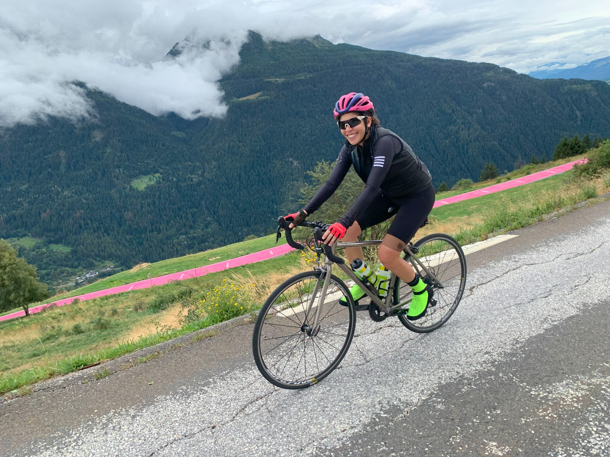
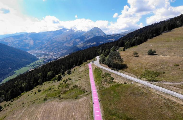
That detour is what makes the climb. The opening 7 km out of Séez are gentle, but the Montvalezan section gains roughly 490 m in 6 km at about 8%, passing Le Châtelard and the Saint-Michel church on the same roads the 2018 Tour de France used for its stage 11 summit finish at La Rosière, won by Geraint Thomas on his way to the overall title. To mark that finish, the resort painted the last stretch of road above Les Soveureux pink - and has repainted it every year since, in La Rosière's signature shade with an anti-slip finish. Above the resort, the grade settles into a steady 4-4.5% through open alpine pasture, with views to Mont Blanc and toward the Aosta Valley.
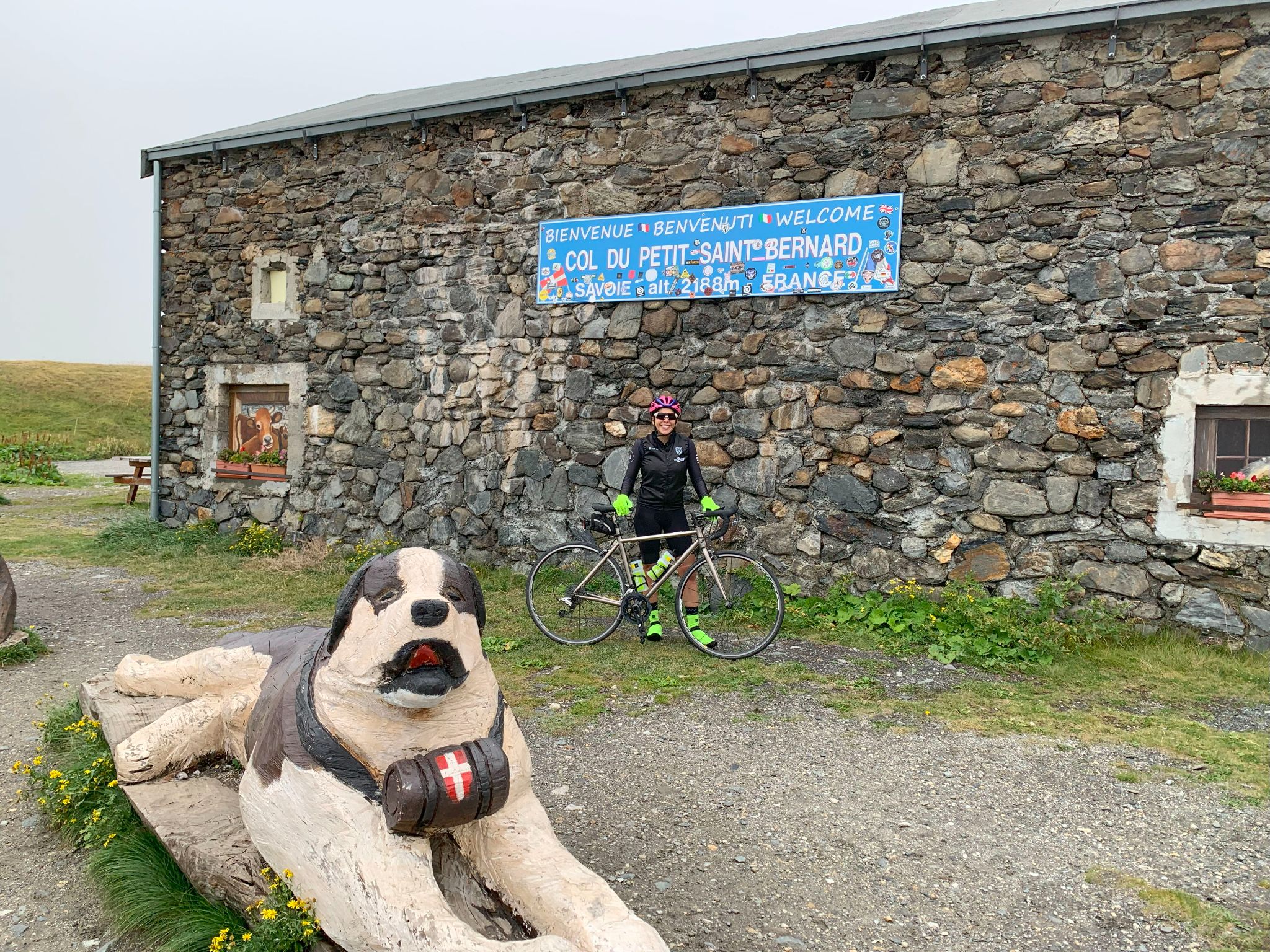
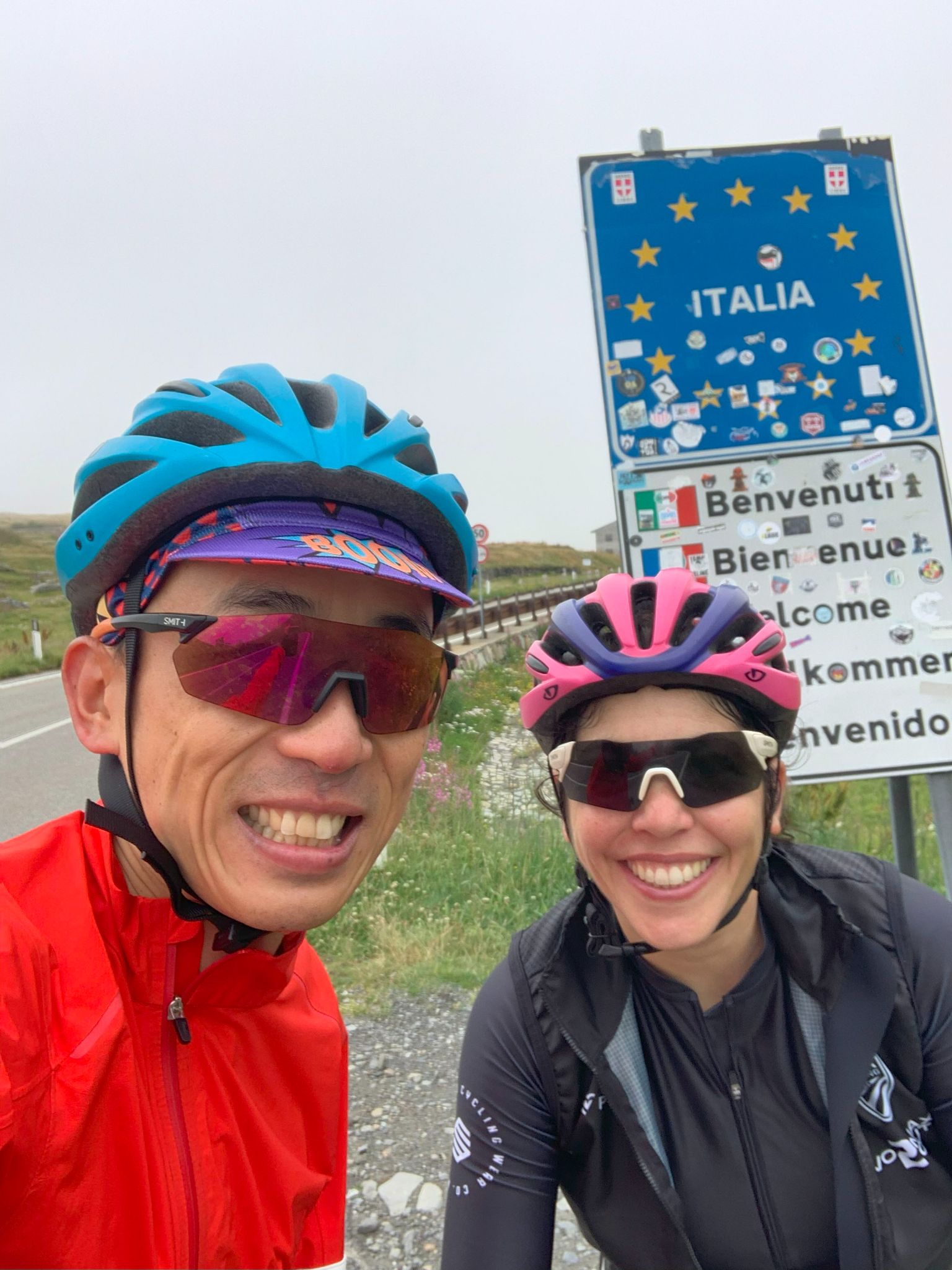
The pass itself is layered with history: an ancient stone circle (cromlech) that the road cuts straight through, the Colonne de Joux, linked to a Roman-era temple to Jupiter, the Chanousia alpine botanical garden, and the Hospice du Petit Saint-Bernard, which still operates as an inn-restaurant. The Tour de France has crossed the col four times, most recently in 2009. The road is seasonal - it reopened on May 24 for 2026 - and the summit sits more than 1300 m above Séez, so check conditions before you go with our Weather tool.
PLAN YOUR ROUTE
 We've partnered with Sherpa-Map.com to bring you the best route planning tool. With a PRO Membership you can use this climb as a reference when creating your route.
 Col du Petit Saint-Bernard (Pink Road Route) climbs 24.4 km (15.2 mi) from Séez at 871 m (2,858 ft) to the pass at 2188 m (7,178 ft), gaining 1302 m (4,272 ft) at an average grade of 5.3%.
The climb comes in three distinct parts. The first 7 km (4.3 mi) on the D1090 average about 4.4% - a gentle warm-up out of Séez. The middle section through Montvalezan to the top of the Pink Road is the crux: roughly 6 km (3.7 mi) at around 8%, containing the steepest kilometer at 9.3%, the steepest 2 km (1.2 mi) at 9.0%, and the steepest 5 km (3.1 mi) at 8.4%.
Once back on the D1090 near La Rosière, the final 11.4 km (7.1 mi) average a steady 4.4%, with one firmer kilometer at about 6.5% roughly 2 km (1.2 mi) from the summit.
Roadway: Paved the entire way. The D1090 is a wide, well-graded international route toward Italy and is kept in good condition; the Montvalezan section is a narrower communal road that twists up through the hamlets and finishes on the painted Pink Road stretch, which La Rosière repaints each year with an anti-slip coating. The pass is closed through the winter - for 2026 it reopened on May 24 - so check Savoie road conditions before riding early or late in the season.
Traffic: Moderate on the D1090, which is the main road between the Tarentaise and Italy's Aosta Valley - expect cars, camper vans, and plenty of motorcycles in summer, busiest on weekends and during holiday periods. The Montvalezan hamlet road carries mostly local traffic and is noticeably quieter. On the upper D1090, an early start is the best way to beat the traffic.
Parking: Séez is a small, practical village at the foot of the climb, and the area around its school is the traditional start of La Rosière's annual Séez - Col du Petit Saint-Bernard timed cycling climb. If you'd rather ride only the upper half, La Rosière has public parking in the resort, and in summer, bike-equipped shuttles connect La Rosière with Bourg-Saint-Maurice and the pass.
Provisions: Séez and neighboring Bourg-Saint-Maurice have groceries, bakeries, and cafes for a proper stock-up. There's little in the Montvalezan hamlets, so plan on La Rosière, about 17 km (10.6 mi) in, as your refuel stop - the resort has cafes, snack bars, and food shops in season. At the top, the Hospice du Petit Saint-Bernard runs an inn-restaurant.
Gear: A compact crankset makes the 8-9% ramps through Montvalezan far more comfortable, especially with 7 km of climbing already in your legs. Pack a wind jacket and arm warmers - the pass is open and exposed at 2188 m, and conditions at the border can be much cooler and windier than in the Isère valley below.
Before heading out on any cycling adventure check out our Things to Bring on a Cycling Trip and use our interactive check list to ensure you don't forget anything.
Where our Arc 2000 and Cormet de Roselend pages make Bourg-Saint-Maurice their base, this climb is best enjoyed from La Rosière, the self-styled "most Italian of French resorts," which sits about two-thirds of the way up. It's a natural hub for a cross-border riding trip: from the col you can descend into Italy past the Lac du Verney to La Thuile, or take on the Colle San Carlo, a Giro d'Italia climb, on the Italian side.
Don't rush the middle of the climb. Montvalezan's hamlets each keep their own small chapel, and the Saint-Michel church near Le Châtelard is one of the landmarks the Tour passed in 2018. La Rosière also stages a timed Séez - La Rosière - Col du Petit Saint-Bernard cycling climb each summer over this same ground, if you'd like company on the way up.
At the pass, set aside time for the Chanousia garden, created by the Abbé Pierre Chanoux, who ran the hospice from 1860 to 1909 and planted an alpine botanical garden across the road from it.
ROUTE MAP
MEMBER RATING
CURRENT WEATHER
PJAMM TRIPS ADVENTURE STARTER BUNDLES
Check out PJAMM Adventure's prepackaged (self-guided) cycling trips. They will help you plan, document and conquer your next adventure.
NEARBY CLIMBS (0) RADIAL PROXIMITY
FROM No Climbs Found
MEMBER REVIEWS & COMMENTS
Let us know what you thought of this climb. Signup for our FREE membership to write a review or post a comment.
Already have an account?
LOG IN HERE