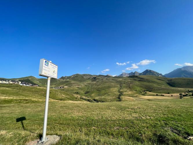
![Cycling Station Peyragudes, France sun shines down over Station Peyragudes ride, France, winding roadway in hills in distance]()
Cycling Station Peyragudes, France
Ride 9 kilometers gaining 674 meters at 7.5% average grade.
![Cycling Station Peyragudes, France road signs at climb start, including one for Tour de France, Luchon, Peyragudes]()
Climb start.
![Cycling Station Peyragudes, France photo collage shows views along the climb, tree-lined roadway with mountains in distance]()
Peyragudes is accessed via the Col de Peyresourde (D618). A right turn a couple of kilometers below the col from the western (Avajan) side takes you up to the ski station. The steepest parts of the listed climb are after turning off the D618 so it is worth the deviation from the Col de Peyresourde.
![Cycling Station Peyragudes, France road signs along the climb, green hillsides]()
The Tour de France has visited Peyragudes several times in recent years, mostly by first climbing the eastern (Bagneres de Luchon) side of the Col de Peyresourde. The first stage finish in 2012 was in the upper village. Recent stage finishes here – including in 2022 – have used the airport runway which gives a steep (15%+) run up to the finish. Unfortunately, the runway is not available to most cyclists but the main road to the village still provides a good challenge!
Stage 17 of the 2022 Tour de France finishes at Station de Peyragudes. Tour de France ride director C. Prudhomme says of Stage 17’s runway finish, “in the final, even the best climbers might flounder when tackling the steep gradients towards the Peyragudes altiport... the third runway to success in the 2022 Tour!”
![Cycling Station Peyragudes, France photo collage shows views along the climb including sun shining down on mountains, road signs for Peyragudes]()
There is also an upper road to Peyragudes very close to the top of the Col de Peyresourde on the western side. It was used in the 2018 Tour de France on the way to the Col de Portet. This road includes some climbing from either direction up to the Montee de Peyragudes, but it is best used to carry on through the village and join back up with the D618 (follow the route map, then continue on after the climbing stops).
![Cycling Station Peyragudes, France photo collage shows sections of straight roadway, hairpin curves, ski lift]()

 We've partnered with Sherpa-Map.com to bring you the best route planning tool. With a PRO Membership you can use this climb as a reference when creating your route.

