28.7
PDI
10.1 mi
DISTANCE
4,189 ft
GAINED
7.9 %
AVG. GRADE
FULL CLIMB STATS
Page Contributor(s): Ard Oostra, Switzerland
INTRO
Aurlandsfjellet - known as Snovegen, the "Snow Road" - is one of Norway's National Scenic Routes, climbing from the fjord village of Aurlandsvangen up onto the open high-mountain plateau above Aurlandsfjorden. The route covers 16.2 km (10.1 mi) and gains 1,277 m (4,189 ft) at a 7.9% average grade, starting at 17 m (56 ft) by the fjord and finishing near 1,294 m (4,245 ft) on the fjell.
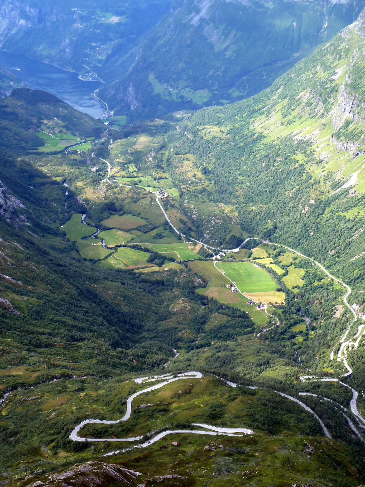
The road works through 13 hairpins on its way up, and the character changes completely as you climb - lush fjord-side valley and forest give way to open, rugged, near-treeless high mountain terrain where snow can linger well into summer. About halfway up, at the Stegastein viewpoint, a striking wooden platform juts 30 m out over the mountainside for a view straight down the Aurlandsfjord - a worthwhile stop even if you're not racing the clock.
Because this is high, exposed terrain, weather at the top can differ sharply from the fjord below - check conditions with our Weather tool before heading up, especially outside the height of summer. The full route over the mountain is seasonal: it typically opens in late May or June and closes again by mid-October, though the lower section up to Stegastein stays open year-round.
PLAN YOUR ROUTE
 We've partnered with Sherpa-Map.com to bring you the best route planning tool. With a PRO Membership you can use this climb as a reference when creating your route.
 From Aurlandsvangen (17 m / 56 ft), Aurlandsfjellet climbs 16.2 km (10.1 mi) to 1,294 m (4,245 ft) at a 7.9% average grade. The grade is unusually consistent for a climb this long - the steepest kilometer, near the base, averages around 9.1%, and there's no long flat or descending section anywhere on the way up. The road negotiates 13 hairpins over its full length as it switches from fjord-side valley to open high-mountain plateau.
Roadway: Paved the entire way and well maintained as one of Norway's official Scenic Routes, though narrow and exposed with dramatic snow walls lining the road early in the season on the upper mountain. The full route over the top is seasonal - it typically opens in late May or June and closes again by mid-October - while the lower stretch from Aurlandsvangen to the Stegastein viewpoint stays open all year. Check Norwegian Public Roads Administration (Statens vegvesen) updates for the current season's exact opening date before planning a trip near the shoulder seasons.
Traffic: Light but touristic. As a National Scenic Route this road draws camper vans, tour buses and sightseers in summer, especially on the lower stretch to Stegastein, so expect more traffic there than on the quieter upper mountain beyond it.
Parking: Aurlandsvangen has parking near the village center at the base of the climb. About 7.5 km up, the Stegastein viewpoint has a formal car park and toilets if you want to break up the ride or turn it into a there-and-back to the viewpoint alone.
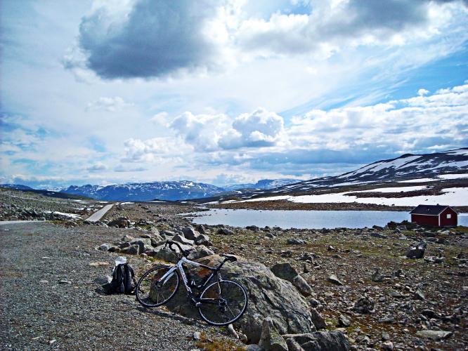
Gear: Pack real warm layers regardless of how warm it is at the fjord - the finish sits near 1,294 m (4,245 ft) on an exposed, treeless plateau where wind, cold and even lingering summer snow are common, a sharp contrast to the mild fjord-side start.
Provisions: Aurlandsvangen has an eco-bakery and a couple of restaurants at the base to stock up before you start. Beyond the village there is little to nothing until the top, so carry water and food for the full 16.2 km (10.1 mi).
Before heading out on any cycling adventure check out our Things to Bring on a Cycling Trip and use our interactive check list to ensure you don't forget anything.
Aurlandsvangen is a quieter alternative to neighboring Flam, 10 km away and connected by a regular shuttle bus, and makes a good, less crowded base for exploring the area - the famous Flam Railway, the UNESCO-listed Naeroyfjord, and the Aurlandsdalen valley are all close by.
Because the full mountain crossing is only open roughly June through mid-October, plan a summer trip if you want to ride all the way over Aurlandsfjellet rather than just up to Stegastein. Outside that window, the Laerdal Tunnel provides the year-round road link between Aurland and Laerdal on the other side of the mountain, though it is scheduled for overnight closures (6pm-6am) during a renovation project running from autumn 2026 through autumn 2028 - worth checking if your trip depends on it.
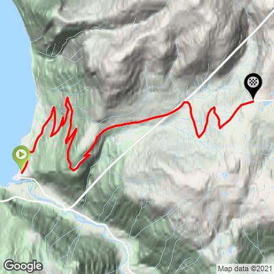
ROUTE MAP
MEMBER RATING
CURRENT WEATHER
PJAMM TRIPS ADVENTURE STARTER BUNDLES
Check out PJAMM Adventure's prepackaged (self-guided) cycling trips. They will help you plan, document and conquer your next adventure.
NEARBY CLIMBS (0) RADIAL PROXIMITY
FROM No Climbs Found
MEMBER REVIEWS & COMMENTS
Let us know what you thought of this climb. Signup for our FREE membership to write a review or post a comment.
Already have an account?
LOG IN HERE