43.5
PDI
9.2 mi
DISTANCE
5,062 ft
GAINED
10.3 %
AVG. GRADE
FULL CLIMB STATS
INTRO
Alpe di Cadinello is one of the hardest paved climbs in Switzerland - 9.2 miles averaging 10.25% for more than 5,000 feet of gain above the small Graubünden village of Roveredo, right on the Ticino border. The road climbs out of Roveredo's San Fedele district through a series of hairpin turns into thick chestnut forest, passing a handful of restaurants and houses before the trees close in almost completely.
About two-thirds of the way up, the road passes through Laura, a small hillside hamlet with a restaurant that isn't reliably open outside of summer - treat it as a maybe, not a guarantee, and carry your own food and water regardless. From there the grade holds in the 8-12% range on narrow, largely unguarded pavement, with long drops off the shoulder in places.
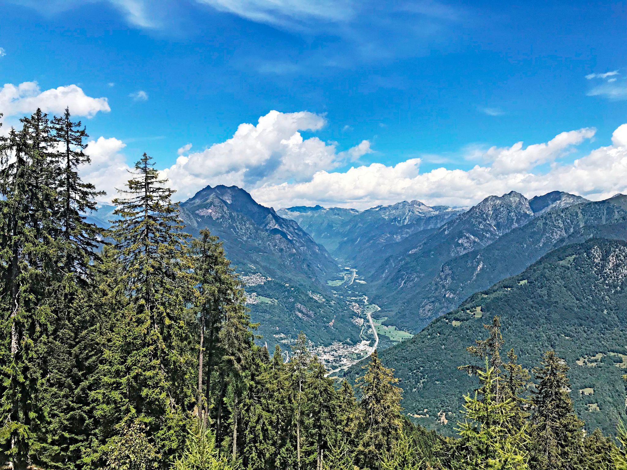
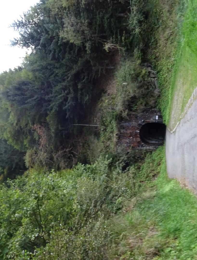
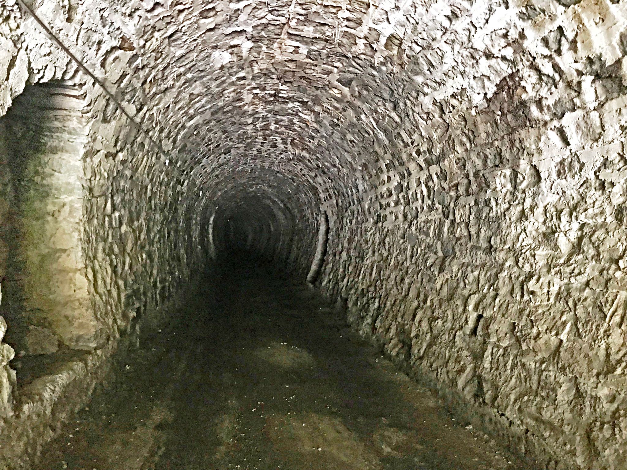
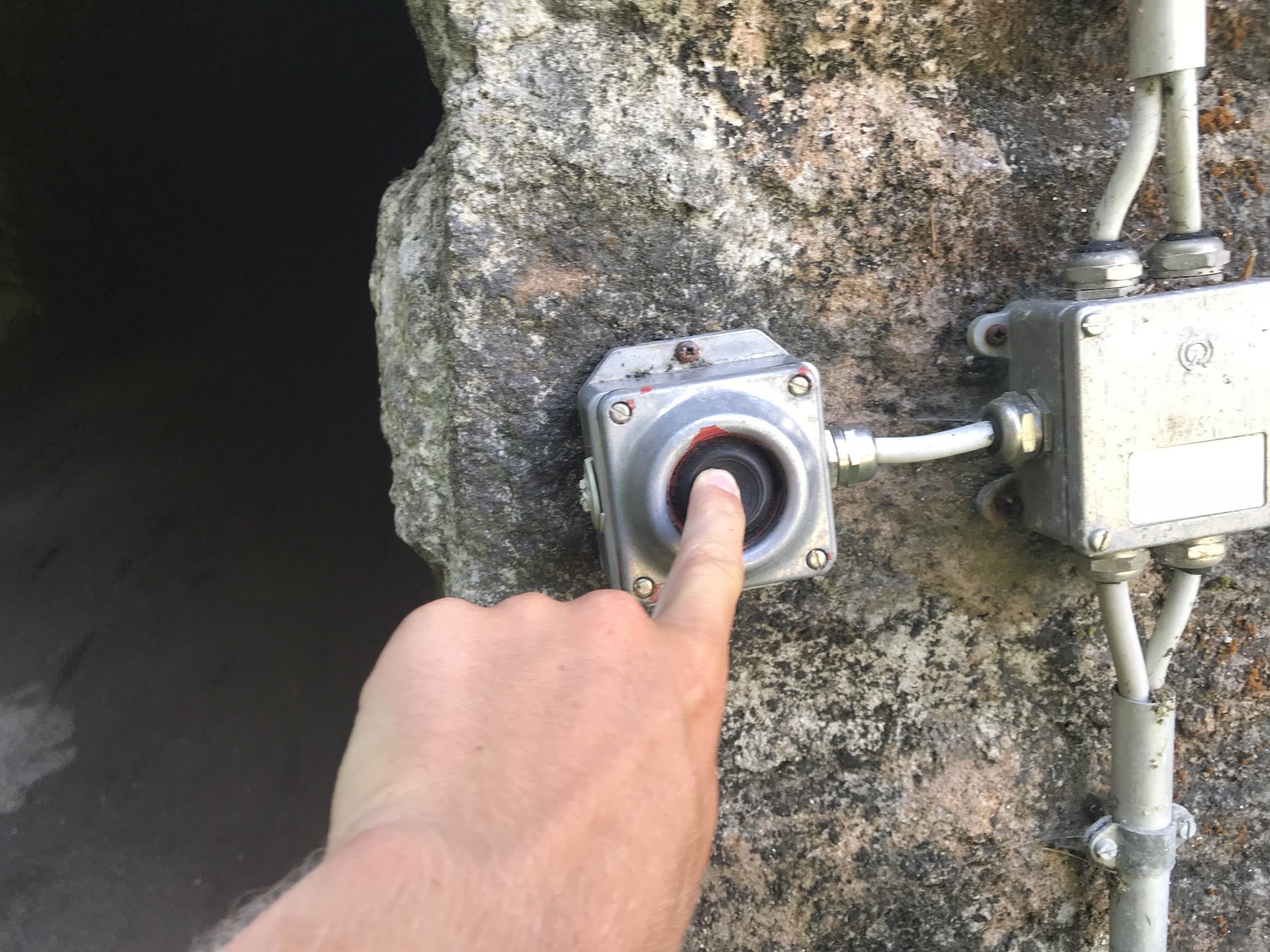
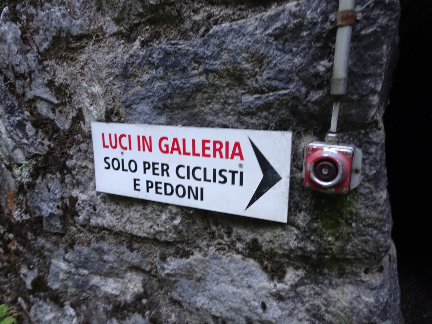
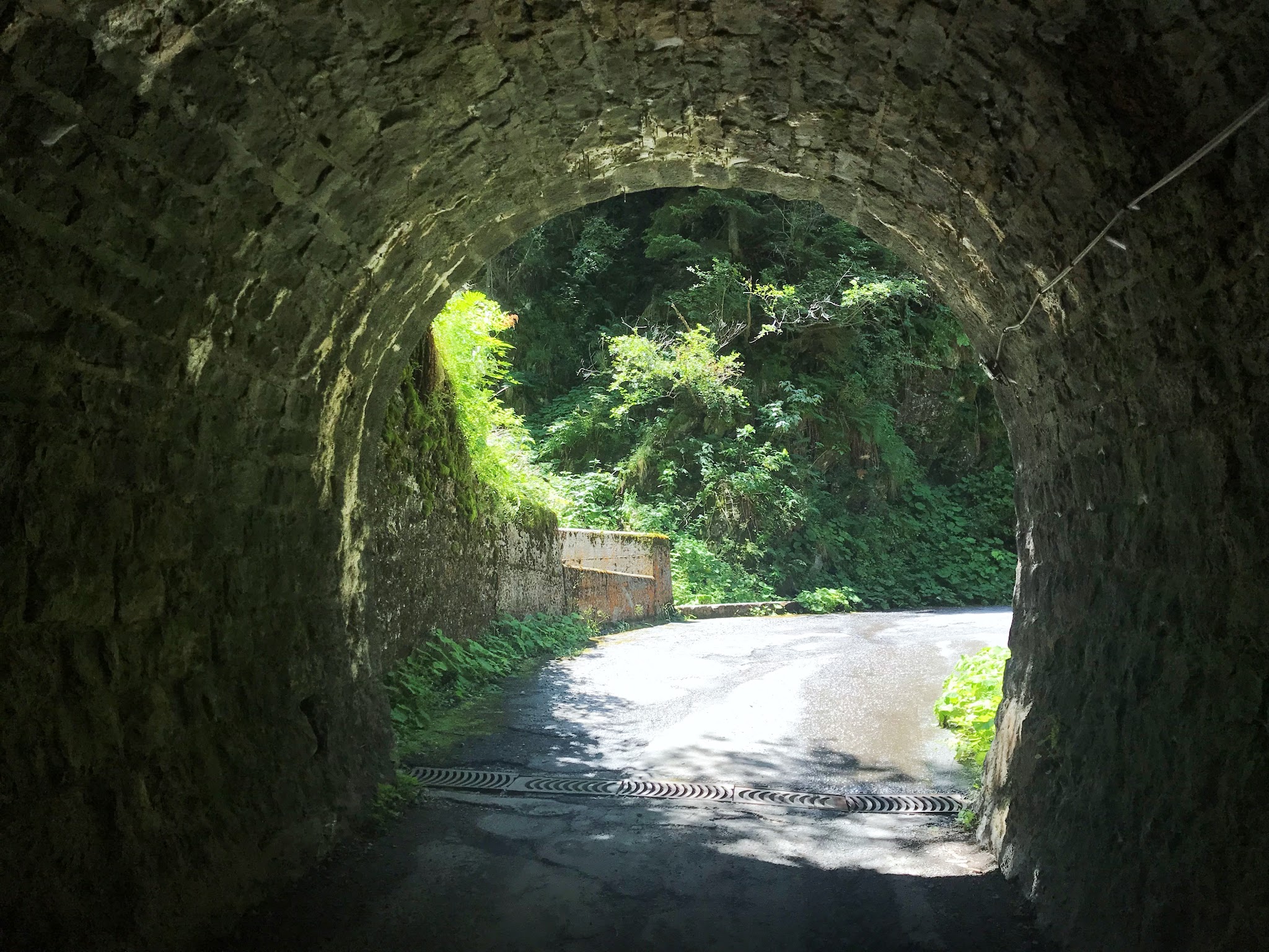
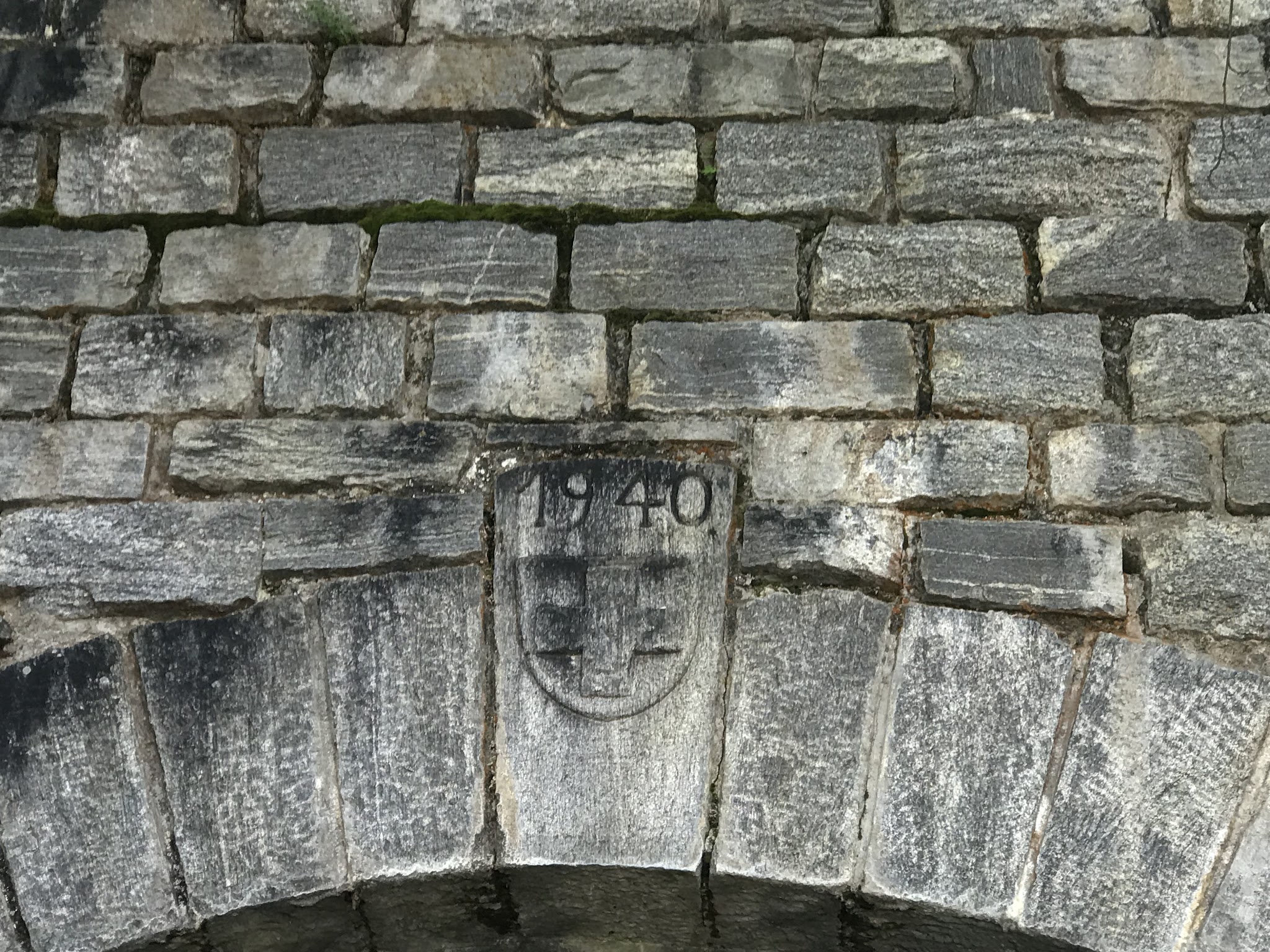
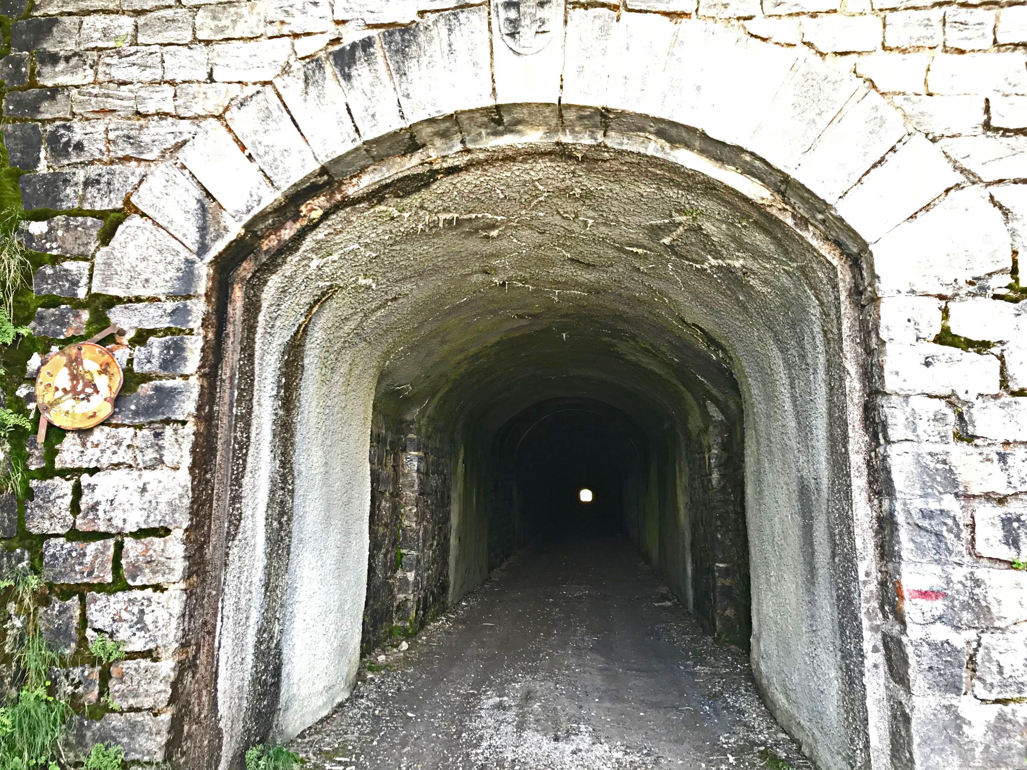
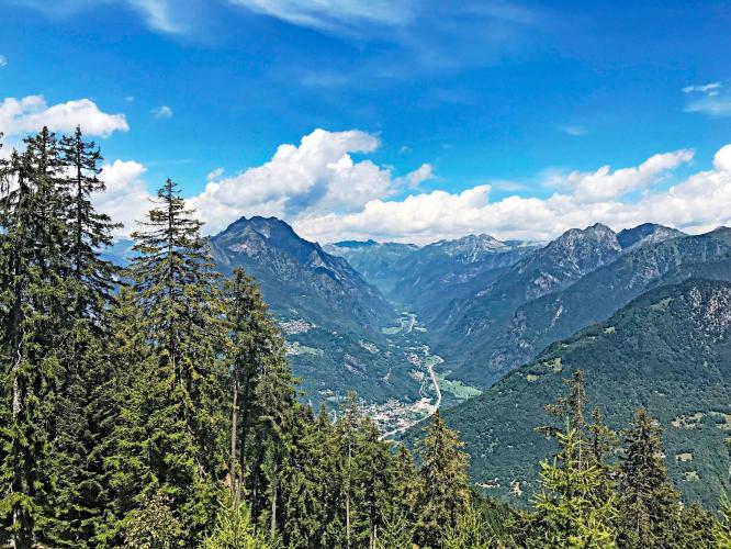
We end the climb at the mouth of the Galleria di Cadolcia, an unlit gravel tunnel built during WWII (finished in 1941) - it's the natural stopping point, since nothing past it adds real climbing and the tunnel itself is genuinely hazardous to ride through unlit. Beyond it, the road continues on rough gravel toward Alpe di Gesero. On a clear day, the view back down toward Bellinzona and Lake Maggiore from up here is outstanding.
PLAN YOUR ROUTE
 We've partnered with Sherpa-Map.com to bring you the best route planning tool. With a PRO Membership you can use this climb as a reference when creating your route.
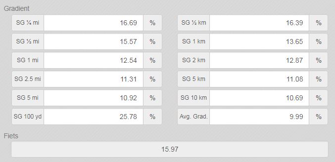
 See more details and tools regarding this climb's grade via our interactive Profile Tool.
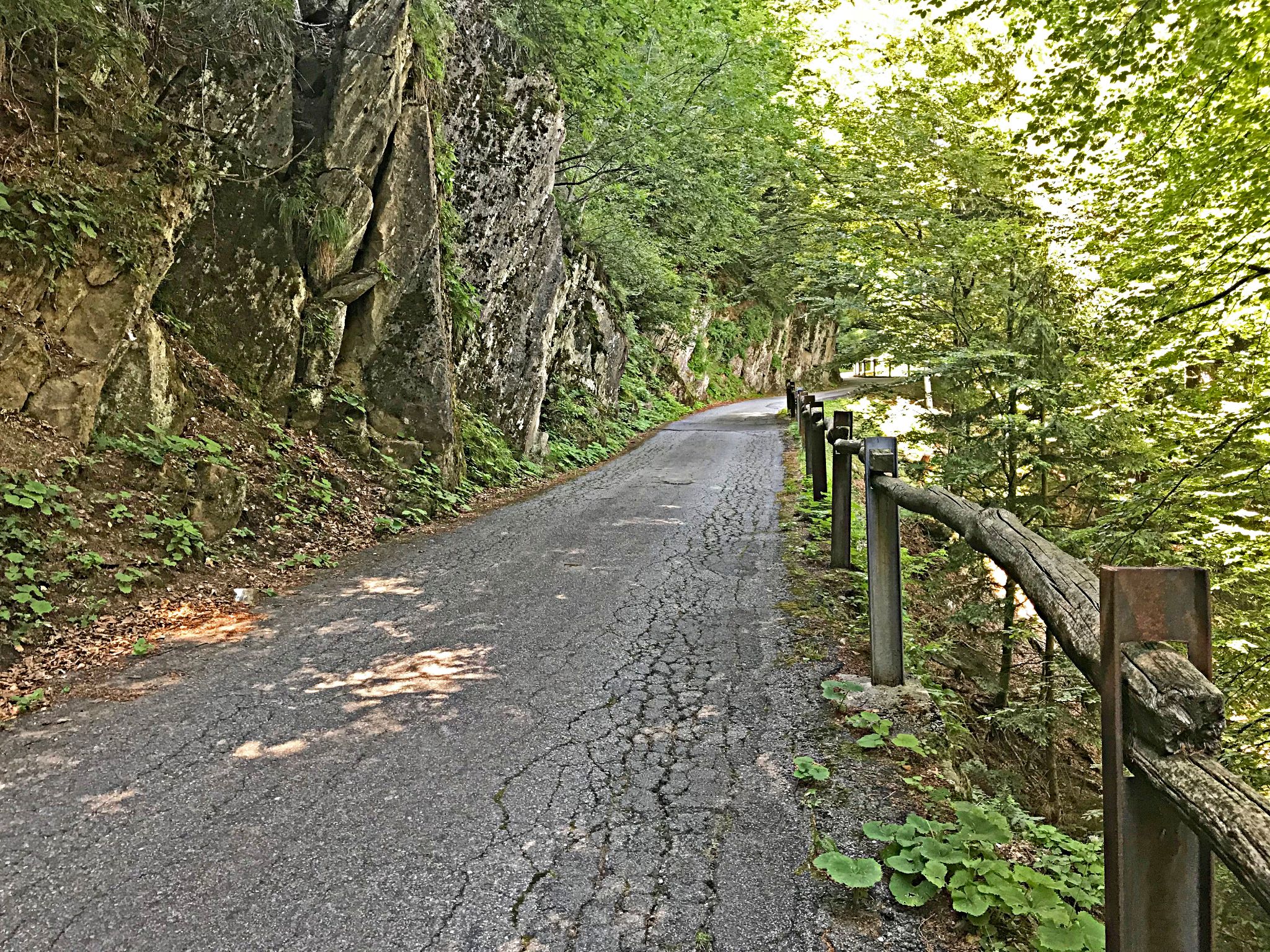
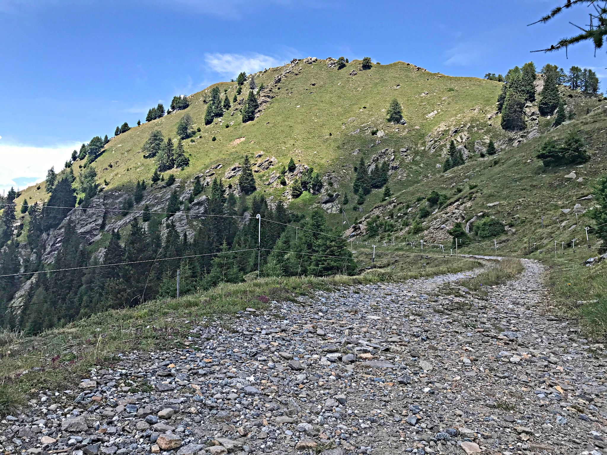
Roadway: Paved essentially the entire way (roughly 90% asphalt) from Roveredo to where we end the climb at the Galleria di Cadolcia tunnel entrance - surface quality is decent but not pristine, with loose stones scattered across the road in spots, especially near the chestnut groves. The short stretch through and beyond the unlit tunnel turns to poor-condition gravel; we don't recommend riding through the tunnel, and there's no real climbing left after it anyway.
Traffic: Very light. Multiple riders who've done this climb describe encountering almost no cars - it's used mainly by residents with property up the mountain.
Parking: Free, easy parking is available near the base of the climb in Roveredo; a paid lot near the village center is also an option if the free spots are taken.
There's no guaranteed water or food past Roveredo - Laura, roughly two-thirds of the way up, has a restaurant that's open seasonally at best, so treat it as a bonus, not a plan. Fill up in Roveredo before you start.
This is an extremely steep climb - a compact crank or a wide-range gravel/MTB cassette is a real asset on the steepest pitches near the top, and several riders who've done it specifically recommend a mountain bike over a road bike given the rougher sections.
Bring a light if you plan to go beyond PJAMM's official end point. The Galleria di Cadolcia tunnel is unlit, and the gravel road continuing past it into Alpe di Gesero shouldn't be attempted without your own light source.
Before heading out on any cycling adventure check out our Things to Bring on a Cycling Trip and use our interactive check list to ensure you don't forget anything.
This is a high, exposed climb that tops out near 1,828 m (5,997 ft) - expect it to hold snow and be unrideable through winter and into spring, like most Alpine roads at this elevation. Plan on a summer visit.
Because the climb ends at an unlit tunnel with no easy alternate descent, this is really an out-and-back: budget time and legs for the same steep, technical road on the way back down.
Roveredo is a small village - stock up on food and gear in nearby Bellinzona (about 20 minutes by car) if you need more than the basics before you go.
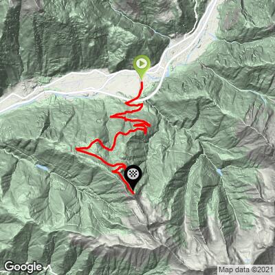
ROUTE MAP
MEMBER RATING
CURRENT WEATHER
PJAMM TRIPS ADVENTURE STARTER BUNDLES
Check out PJAMM Adventure's prepackaged (self-guided) cycling trips. They will help you plan, document and conquer your next adventure.
NEARBY CLIMBS (0) RADIAL PROXIMITY
FROM No Climbs Found
MEMBER REVIEWS & COMMENTS
Let us know what you thought of this climb. Signup for our FREE membership to write a review or post a comment.
Already have an account?
LOG IN HERE
thall1
My hardest and favorite climb EVER! The road gets better by a town 2/3 of the way named Laura, but before that, the road is about a 3 out of 5. Also more traffic towards the bottom.