33.2
PDI
5.4 mi
DISTANCE
3,424 ft
GAINED
12.2 %
AVG. GRADE
FULL CLIMB STATS
INTRO
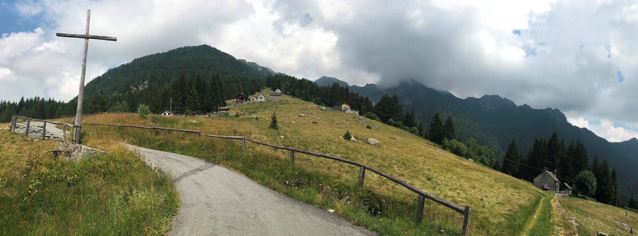
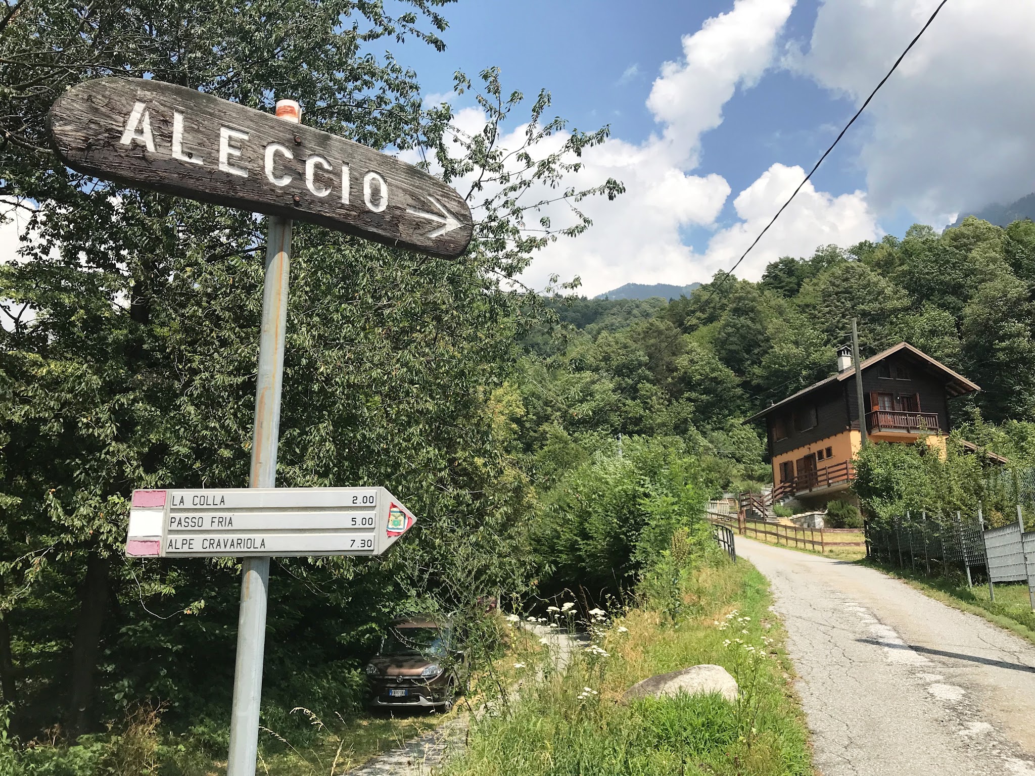
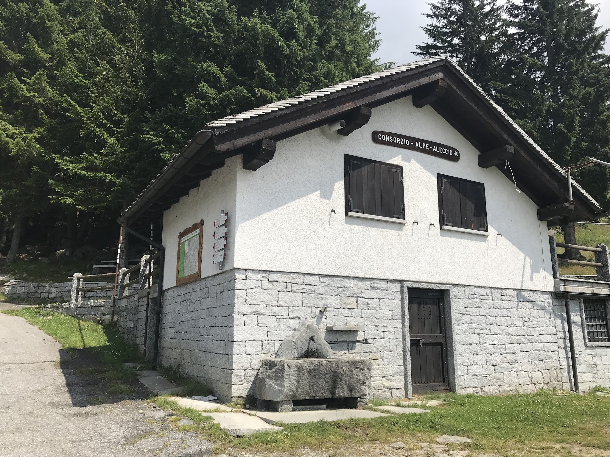
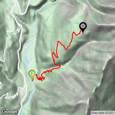
Alpe di Aleccio is one of the steepest paved climbs anywhere in Italy - a narrow mountain lane in the Lepontine Alps above Crodo, in the Piemonte region’s Verbano-Cusio-Ossola province, just a few kilometers from the Swiss border. From the "T" intersection on Frazione Braccio Dentro, the road climbs roughly 8.6 kilometers (5.4 miles) to the hamlet of Aleccio at 1,575 meters, gaining over 1,000 meters at a brutal 12.2% average grade - with the steepest kilometer averaging around 20% and pitches near 30% on a couple of hairpins above Maglioggio.
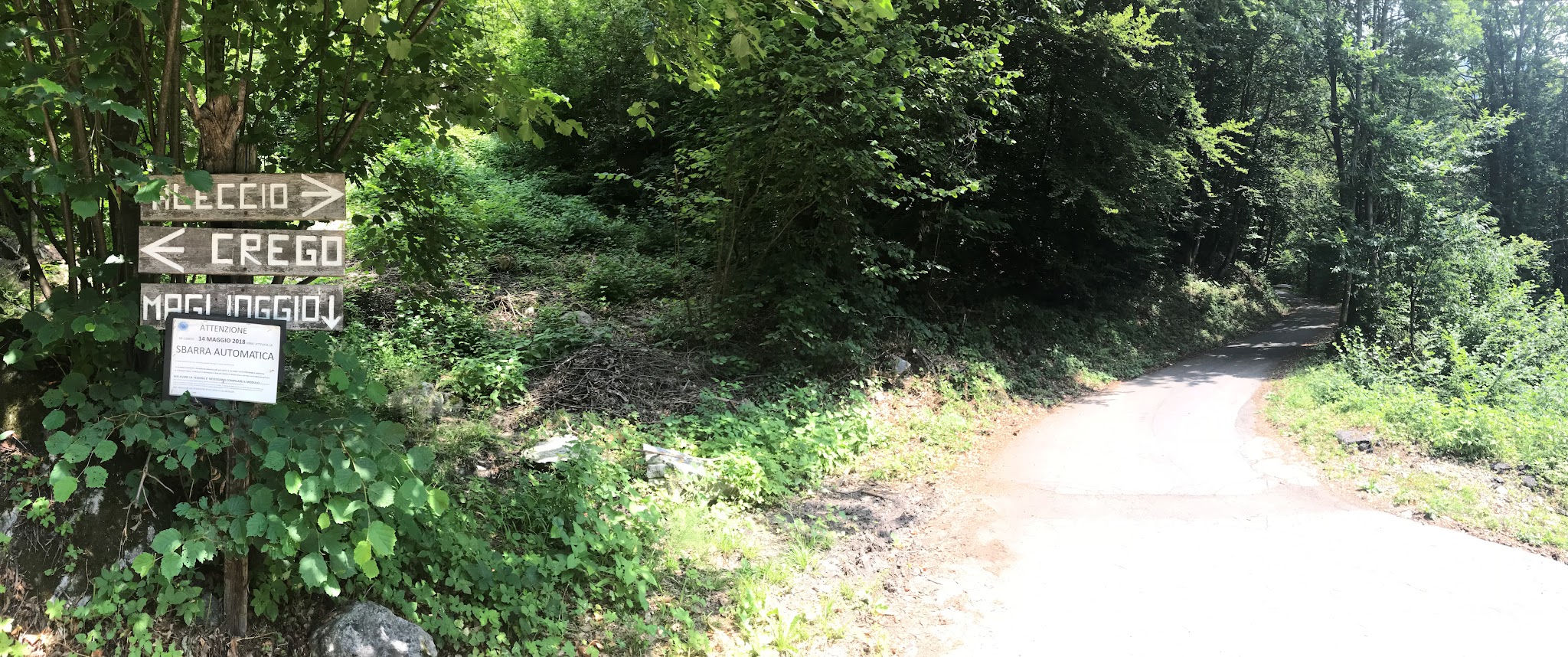
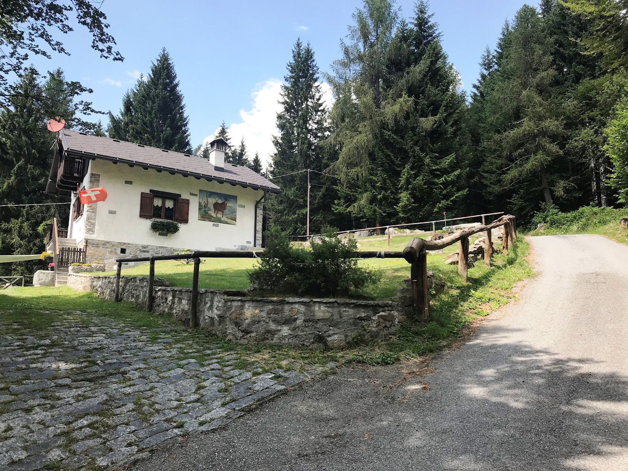
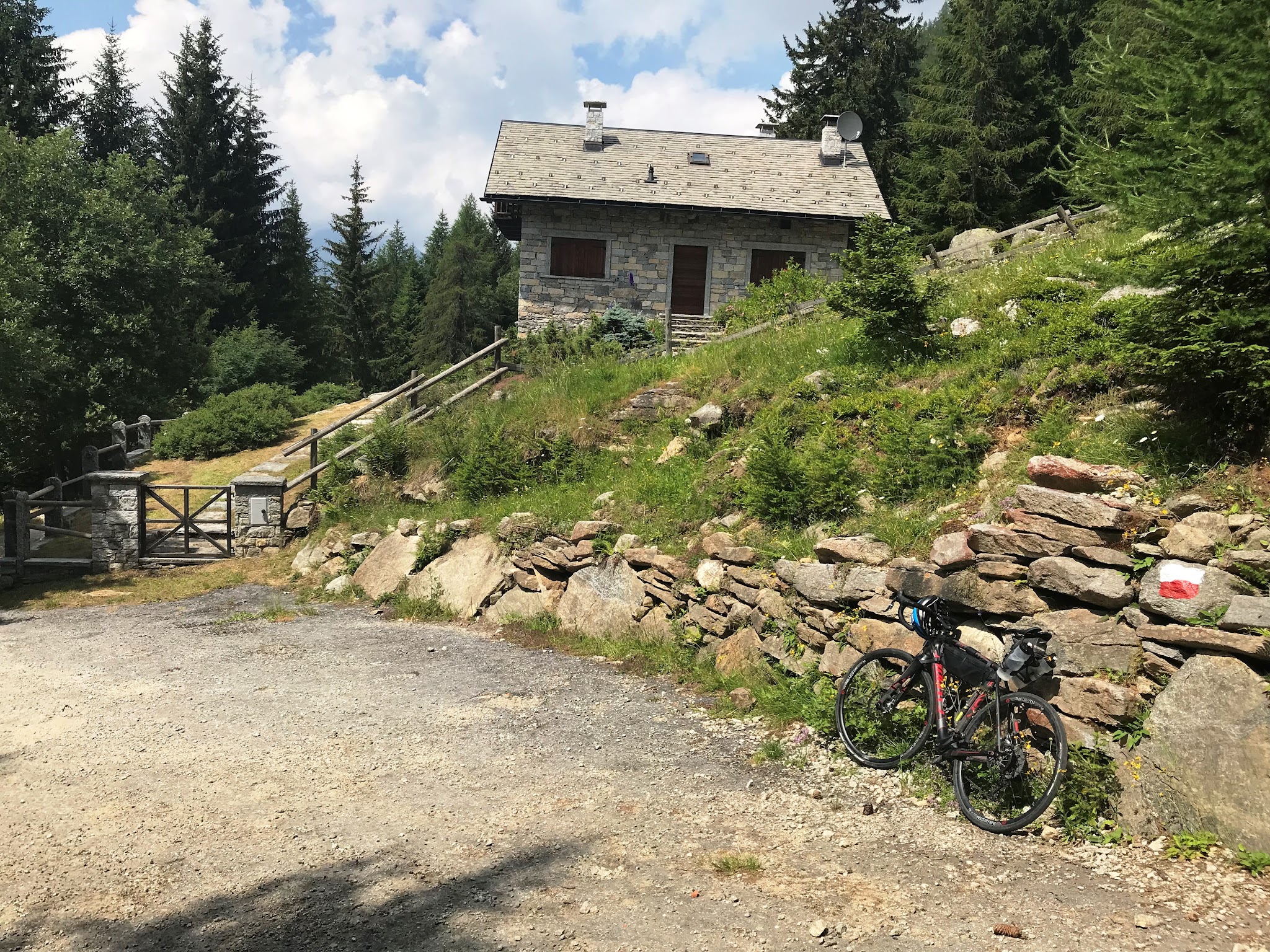
What makes Aleccio distinctive isn’t just the raw numbers - it’s how quiet and remote it feels. Past the village of Maglioggio the road narrows to a single, barrier-gated lane through forest and alpine meadow, past an old agricultural works building, with almost no motor traffic to contend with on the way up. 26 hairpins wind through the trees before the road opens up high above the Valle Antigorio, with long views back down toward Crodo and the Ossola valley.
This is a climb for riders who genuinely enjoy suffering on a bike - a compact-or-lighter gearing setup is close to mandatory - but the payoff is a wild, seldom-ridden Alpine road that most cyclists, even experienced Italian-Alps veterans, have never heard of.
PLAN YOUR ROUTE
 We've partnered with Sherpa-Map.com to bring you the best route planning tool. With a PRO Membership you can use this climb as a reference when creating your route.
 12.2% average grade for 8.6 kilometers (5.4 miles), gaining 1,044 meters (3,424 feet) with no descent. The climb only gets harder as it goes: the lower kilometers through Maglioggio are the easiest of the ride, and the final 6.4 kilometers above the gate average 13.6%. The steepest kilometer averages 20.1%, with short pitches near 26-30% on the hairpins just below the finish. See more details and tools regarding this climb’s grade via the “Profile Tool” button.
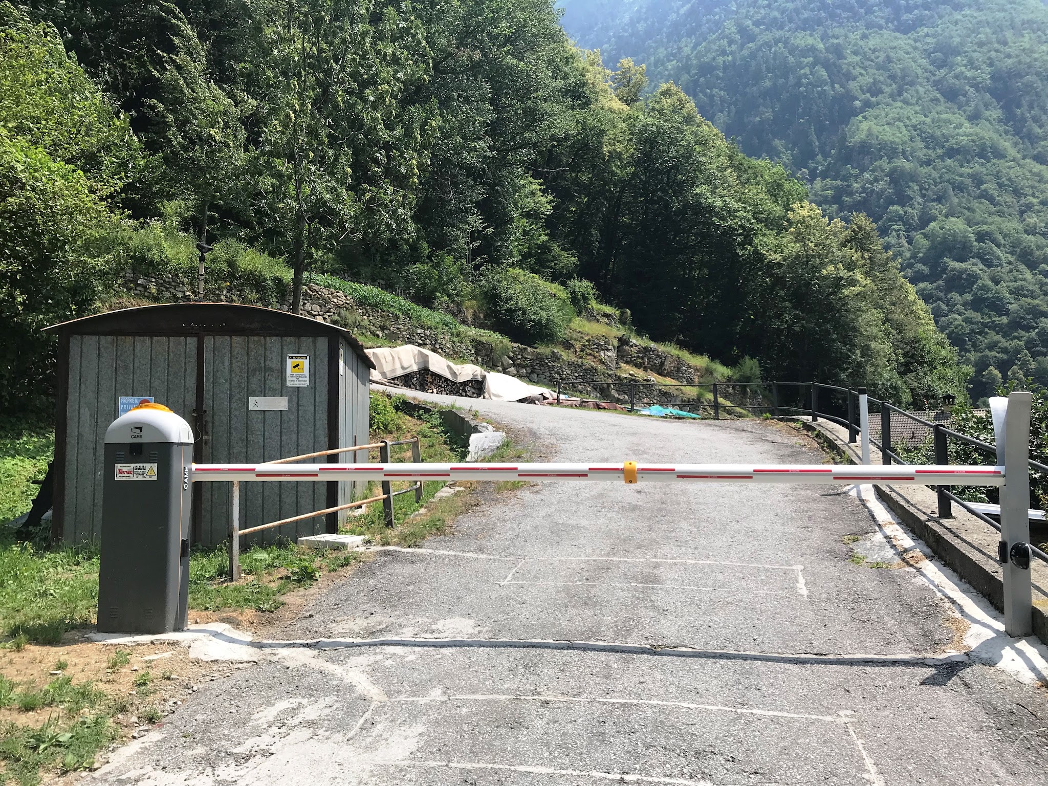
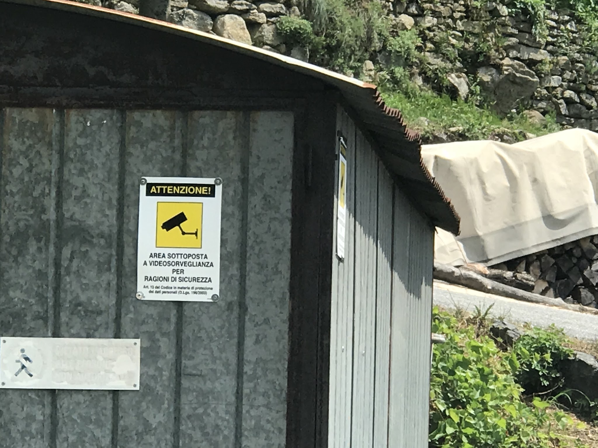
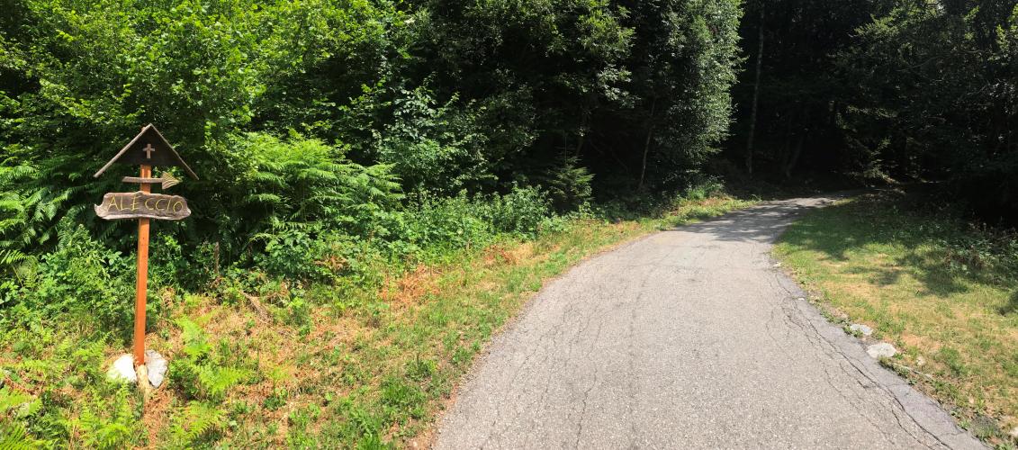
Roadway: The road is paved the entire way to Aleccio and has been reported in good condition, though it is very narrow once past Maglioggio - barely wider than a single car for the final several kilometers. A barrier gate sits at kilometer 2.1 (posted for video surveillance, not closed to cyclists), beyond which the road climbs through forest, and a couple of hairpins near a bridge above Maglioggio pitch briefly into the high 20s percent. Descend with fresh brakes - the same steep pitches that make the climb hard make for a fast, technical way down.
Traffic: Essentially non-existent past the gate at kilometer 2.1, since through-traffic to Aleccio is blocked there and only local agricultural and forestry vehicles use the upper road. The lower kilometers through Braccio Dentro and Maglioggio see light local traffic.
Parking: Crodo is a small valley town with roadside parking near the SS 659 / Frazione Braccio Dentro junction where the climb begins; there is no dedicated cyclist parking area, so plan to leave a car along the shoulder near the start rather than in the village itself.
Provisions: Crodo has small shops and cafes for basic provisions before you start; there is nothing along the climb itself once you leave town, so fill bottles before heading up.
Gear: This is one of the steepest paved climbs in Italy - a compact crankset paired with a wide-range cassette (34x32 or lower) is strongly recommended, and even strong riders should expect to zigzag or pause on the 20%+ pitches.
Before heading out on any cycling adventure check out our Things to Bring on a Cycling Trip and use our interactive check list to ensure you don't forget anything.
We stayed in the Ossola valley on our visit, within easy reach of Crodo and the climb start - Domodossola, a short drive north, has the most lodging and dining options in the area if you want a home base for tackling several Ossola-valley climbs in the same trip.
Given the altitude and exposed final kilometers, check conditions at the top with our Weather tool before setting out, since the upper switchbacks catch weather quickly even on a clear morning down in the valley.
ROUTE MAP
MEMBER RATING
CURRENT WEATHER
PJAMM TRIPS ADVENTURE STARTER BUNDLES
Check out PJAMM Adventure's prepackaged (self-guided) cycling trips. They will help you plan, document and conquer your next adventure.
NEARBY CLIMBS (0) RADIAL PROXIMITY
FROM No Climbs Found
MEMBER REVIEWS & COMMENTS
Let us know what you thought of this climb. Signup for our FREE membership to write a review or post a comment.
Already have an account?
LOG IN HERE