16.6
PDI
9.7 mi
DISTANCE
2,986 ft
GAINED
5.9 %
AVG. GRADE
FULL CLIMB STATS
INTRO
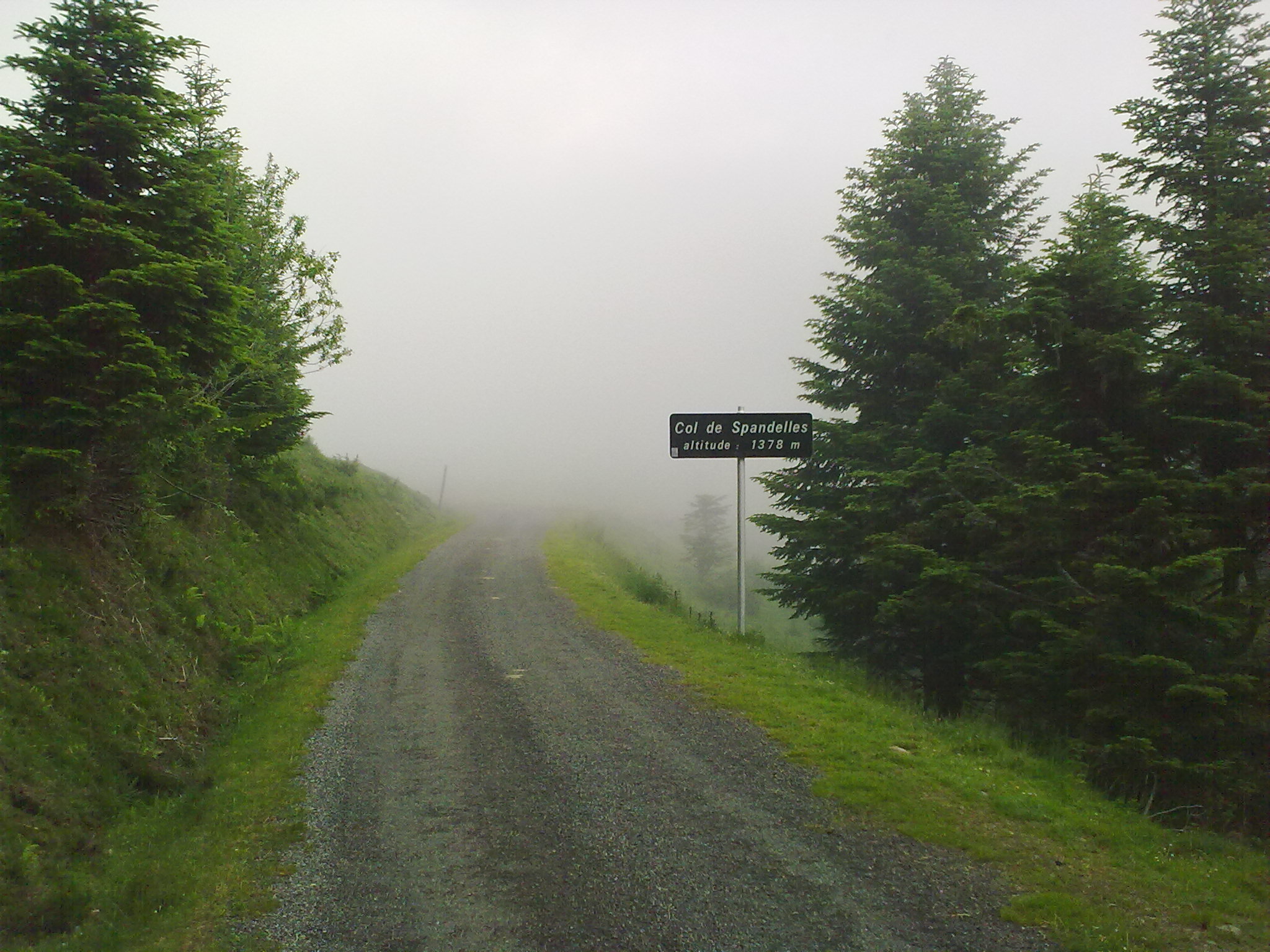
On 21 July 2022 the Tour de France came down this road flat out. Stage 18 crossed the Col de Spandelles from Ferrières and dropped toward Argelès-Gazost, and on that descent Tadej Pogačar slid out on the gravel, race leader Jonas Vingegaard waited for him, and the two shook hands before Vingegaard rode on to win at Hautacam.
Climbing it from Argelès is the gentler way to the col: 15.6 km (9.7 mi) at 5.9%, gaining 910 m (2986 ft) from the town's church at 462 m to 1370 m (4496 ft), just below the 1378 m pass. It starts as a village road - the D102 climbs out of town at 6 to 8% with a hairpin above the rooftops and passes through Gez, with views back across the valley. Then the Route du Bergons heads into the forest and the gradient drops away for four kilometers, a shaded, easy stretch to get your breath back.
The last 5 km are where the work is: kilometers of 7 to 10% up through the trees, with the steepest kilometer near the top at 10.1%. It's a quiet, narrow road that feels a long way from the busy valley below, and since 2023 this side has been closed to cars for one July morning each year for the Pyrénées Cycl'n Trip, when cyclists have it to themselves.
PLAN YOUR ROUTE
 We've partnered with Sherpa-Map.com to bring you the best route planning tool. With a PRO Membership you can use this climb as a reference when creating your route.
15.6 km (9.7 mi) at 5.9%, gaining 910 m (2986 ft) from 462 m (1514 ft) in Argelès-Gazost to 1370 m (4496 ft), just below the 1378 m (4521 ft) col.
Out of town the D102 climbs 5 to 7% per kilometer for the first 4 km, and kilometers 5 and 6 are the steepest of this stretch at 7.6% and 7.8%, to about 866 m (2841 ft). The Route du Bergons then eases right off: 4.6%, 3.8%, 1.9% and 2.7% for kilometers 7 to 10, reaching about 995 m (3264 ft).
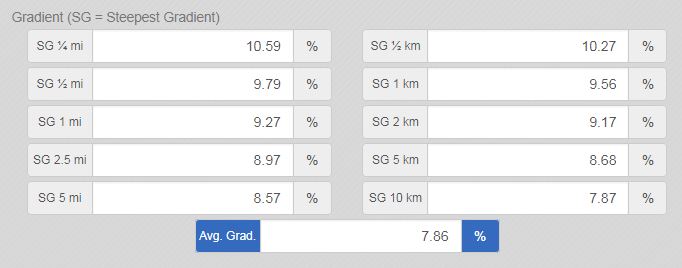
After a kilometer at 6.9% and another at 3.3%, the final 3.6 km are the hardest - 7.1%, 6.6%, 9.6% and 7.8% to the finish. The steepest kilometer averages 10.1%, the steepest 2 km 9.2% and the steepest 5 km 6.9%.
Roadway: Paved to the col. The D102 through Gez is an ordinary village road; the Route du Bergons beyond it is narrow and winds through the forest. It was resurfaced for the 2022 Tour and riders have described the climbing surface as good since, but descent reports are consistent - gravel in the hairpins and potholes, with one rider in November 2024 unable to safely top 40 km/h - so take the way down slowly. The road isn't cleared of snow, and the usual season runs from about May to November depending on snowfall.
Traffic: Very light: locals, the odd farm vehicle and other cyclists, and deer in the forest if you're lucky. On one July morning each year (17 July in 2026) the Pyrénées Cycl'n Trip closes this side to motor traffic from 9:00 to 12:00.
Parking: Park in Argelès-Gazost. The free Place du Foirail car park, with about 110 spaces, is a minute from the church where the climb begins, and the Tilhos car-pool car park on the edge of town is another option. Our Col d'Aubisque (Argelès-Gazost) page lists more of the town's lots. There's a small parking area at the col itself.
Gear: Kilometers 13 to 16 run between 6.6 and nearly 10%, so gearing down to 34x30 or 34x32 makes the top of the climb a lot friendlier. Fit 28 mm or wider tires if you can for the gravelly descent, and check your brake pads before you head back down to Argelès.
Provisions: Argelès-Gazost has fountains and drinking taps all around the center, so fill both bottles before you leave. There are no services after Gez and nothing at the col but the Tour sign and the view, so carry food and a windproof - the col can sit in cloud when the valley is clear.
Before heading out on any cycling adventure check out our Things to Bring on a Cycling Trip and use our interactive check list to ensure you don't forget anything.
Argelès-Gazost is the base, and our Col d'Aubisque (Argelès-Gazost) page covers the town, its Thursday market and where to park. Spandelles from this side fits neatly into a loop: over the col, down to Ferrières in the Ouzom valley, up the Col du Soulor and back down the Val d'Azun to Argelès. The department's signed version of that loop is about 62 km with roughly 1950 m (6398 ft) of climbing. Riding it the other way round puts you on the steeper Ferrières side - see our Col de Spandelles Ferrières page.
For those looking to stay in the area we would recommend the Pyrenees Cycling Lodge. Located in the beautiful medieval village of Saint Savin and hosted by Mark & Niamh, the Lodge is run by cyclists for cyclists. It is a great location for any cycling adventure in the Pyrenees, with plenty of famous climbs within 100 km of the property and six Tour de France climbs within 15 km. Visit their website or contact them directly at pyreneescyclinglodge@gmail.com .
ROUTE MAP

MEMBER RATING
CURRENT WEATHER
PJAMM TRIPS ADVENTURE STARTER BUNDLES
Check out PJAMM Adventure's prepackaged (self-guided) cycling trips. They will help you plan, document and conquer your next adventure.
NEARBY CLIMBS (0) RADIAL PROXIMITY
FROM No Climbs Found
MEMBER REVIEWS & COMMENTS
Let us know what you thought of this climb. Signup for our FREE membership to write a review or post a comment.
Already have an account?
LOG IN HERE