19.9
PDI
6.4 mi
DISTANCE
2,789 ft
GAINED
8.3 %
AVG. GRADE
FULL CLIMB STATS
INTRO
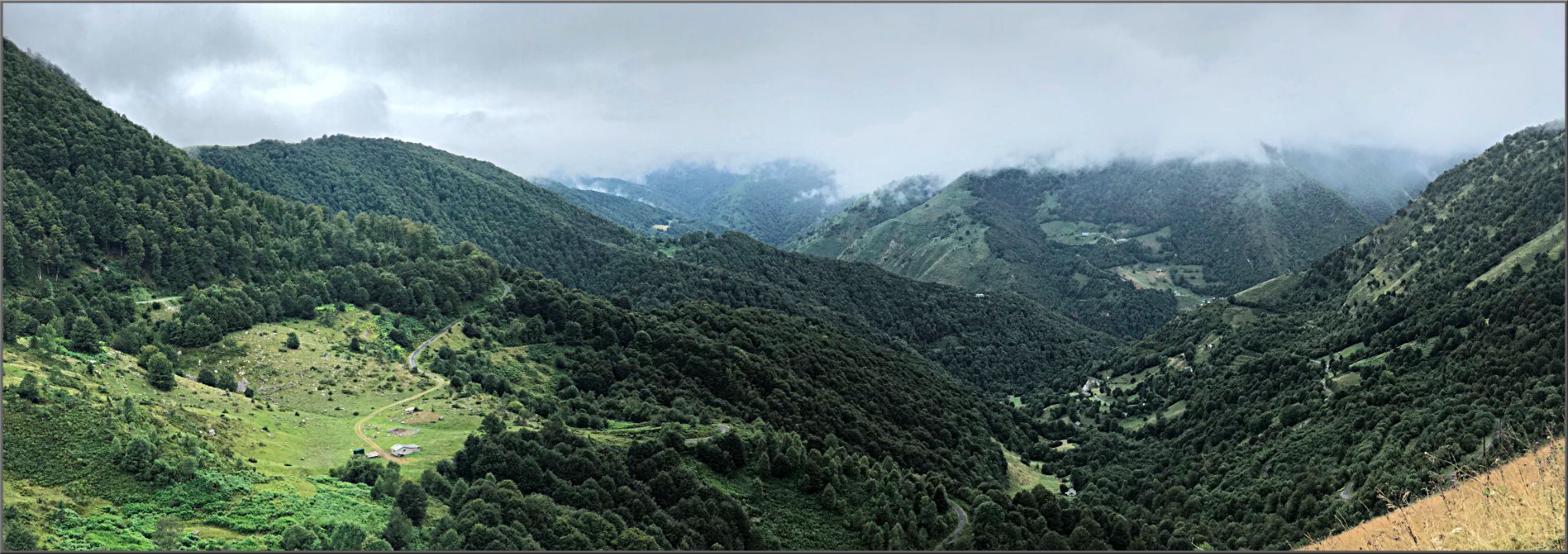
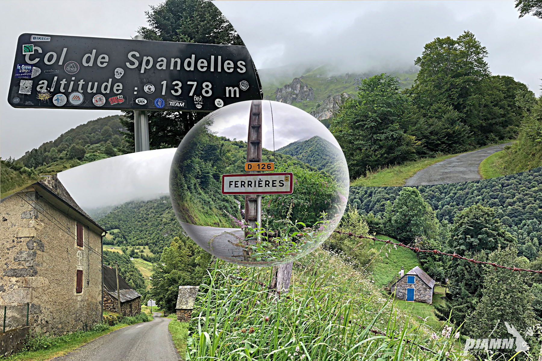
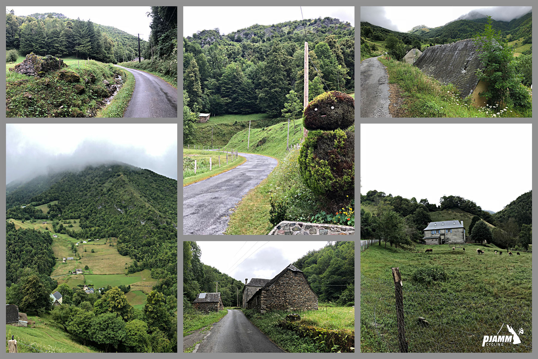
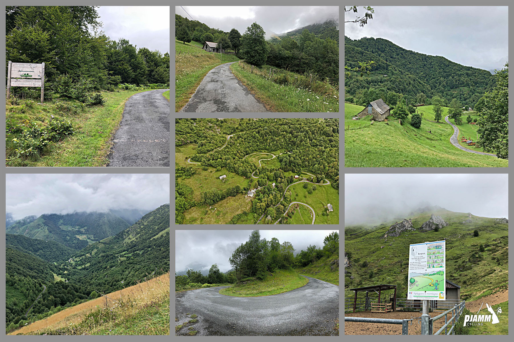
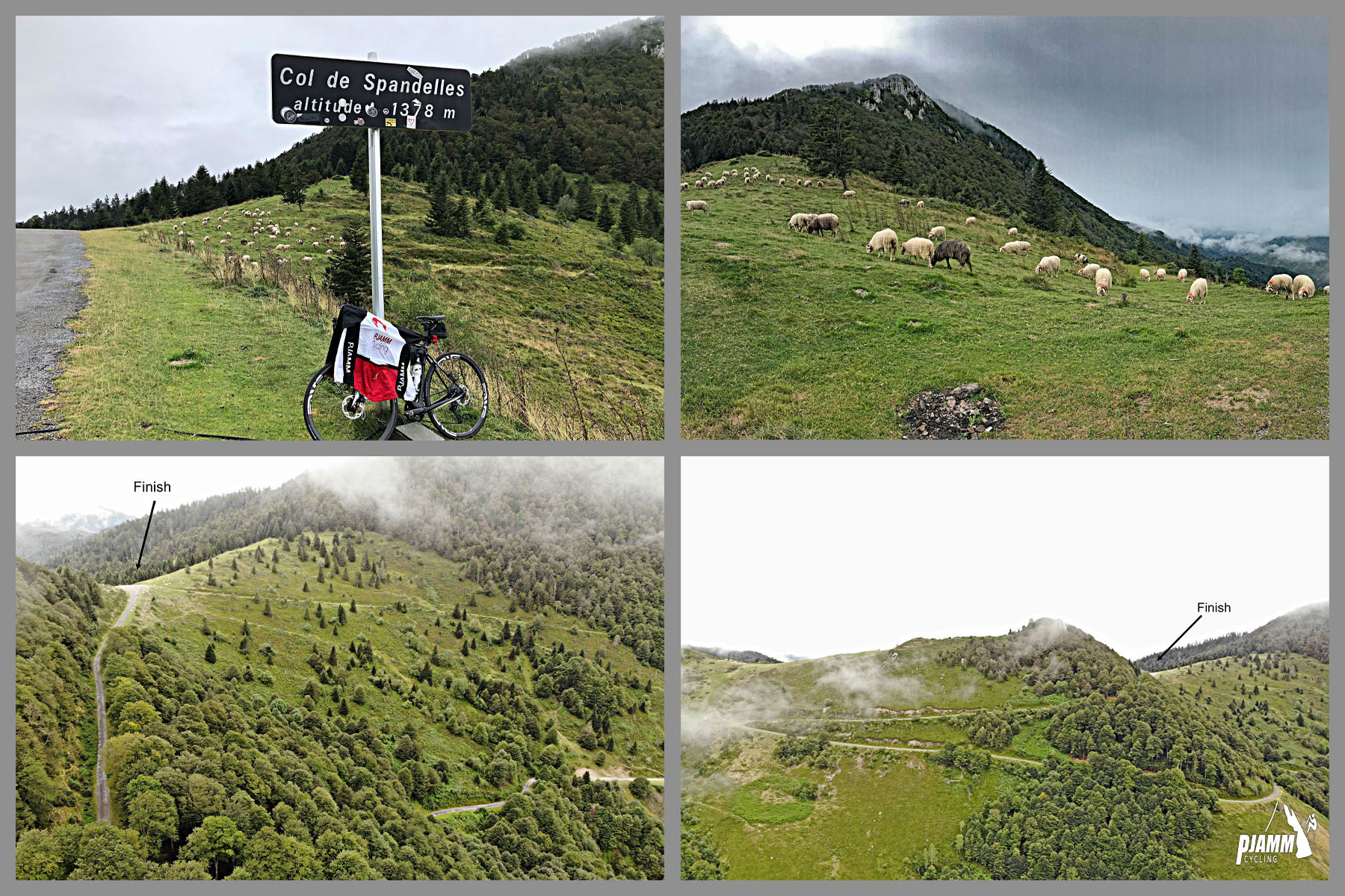
Col de Spandelles from Ferrières is a narrow back road through the Ouzom valley that the Tour de France first used in 2022. It climbs 10.3 km (6.4 mi) and gains 850 m (2,789 ft) at an 8.3% average, from about 520 m (1,705 ft) near Ferrières to roughly 1,370 m (4,494 ft) at the top of our route; the col itself is quoted at 1,378 m (4,521 ft). It is a very pleasant climb back up from the western side - this one reminds us of Italy's Col della Fauniera from Ponte Marmora.
The grade rarely lets up: the steepest kilometer averages 9.7% and the steepest mile (1.6 km) averages 9.5%. Riders describe a narrow, winding road that climbs through forest and then high pasture to a quiet summit with views back toward the Aubisque and the Ferrières valley.
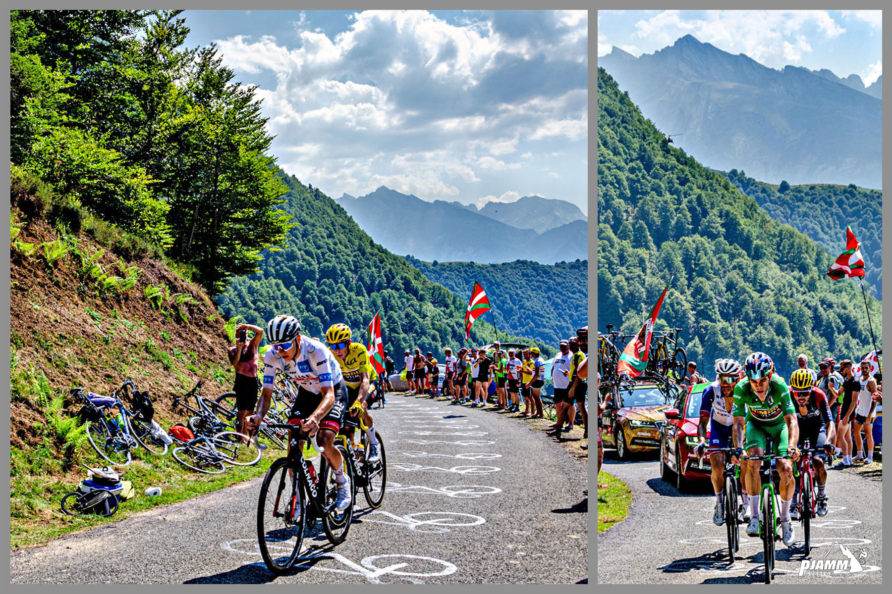
Featured in Stage 18 of the 2022 Tour de France, which climbed this side on the way to Hautacam. On the descent toward Argelès-Gazost, Tadej Pogačar crashed on loose gravel, and race leader Jonas Vingegaard waited for him and shook hands before the stage went on to Hautacam.
PLAN YOUR ROUTE
 We've partnered with Sherpa-Map.com to bring you the best route planning tool. With a PRO Membership you can use this climb as a reference when creating your route.
Col de Spandelles from Ferrières averages 8.3% over 10.3 km (6.4 mi), gaining 850 m (2,789 ft) from about 520 m (1,705 ft) to 1,370 m (4,494 ft). It is consistently steep rather than punishing in one spot: the steepest 100 m (110 yd) reaches 12.2%, the steepest 0.4 km (0.25 mi) averages 11.0%, and the steepest kilometer averages 9.7%.
Even the long stretches stay firm. The steepest 2 km (1.2 mi) averages 9.4%, the steepest 5 km (3.1 mi) averages 9.0%, and the steepest 10 km (6.2 mi) averages 8.3%, essentially the whole climb. Riders report 9-12% almost from the first bend, staying steep for about 8.5 km (5.3 mi) before the road eases over the last 2 km (1.2 mi) to the col, so go out at a pace you can hold.
Roadway: Paved to the col, but narrow and winding, with a series of hairpins in the first kilometers. Riders report the surface was refreshed ahead of the 2022 Tour and mostly describe it as good since, though some mention rough or patchy sections and loose gravel at the edges, especially in bends. Take extra care on the descent toward Argelès-Gazost, where riders consistently warn of narrow, steep hairpins with gravel and potholes - the same road where Pogačar slid out in 2022. About 2 km (1.2 mi) below the pass an unpaved track branches off toward the Col de Couraduque; stay on the paved main road.
Traffic: Very light. This is a quiet back road used mostly by local farm traffic and cyclists, and grazing animals sometimes block the way, so ride the descent with caution. Since 2023 the Pyrénées Cycl'n Trip has closed the east (Argelès-Gazost) side of the col to motor traffic on one July morning from 9:00 to 12:00 (17 July in 2026).
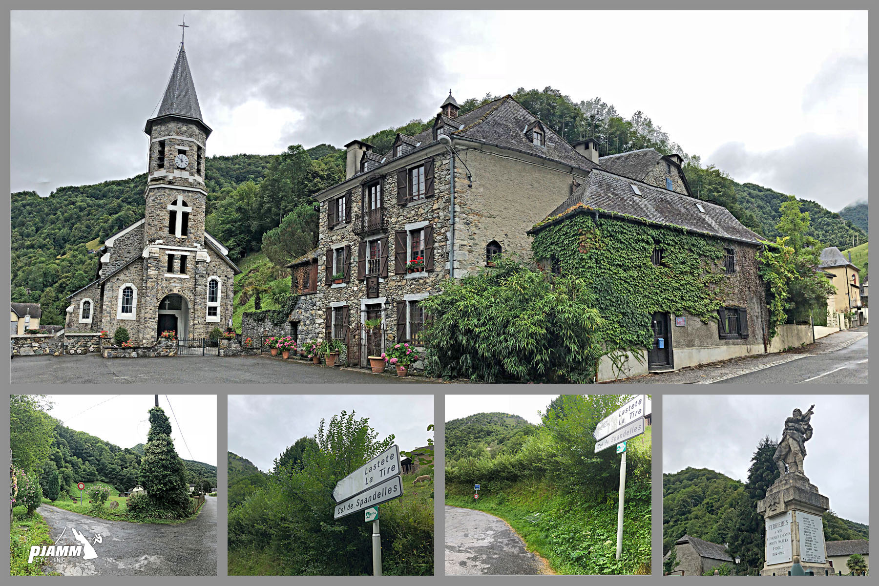
Parking: There is no marked car park at the foot of the climb. Park considerately in Ferrières or the nearby hamlets, leaving farm and residents' access clear (as on our Soulor and Aubisque pages from Ferrières), and ride to the junction where the Route du Col de Spandelles leaves the D126.
Provisions: Fill both bottles before you leave the valley and carry food. The road runs through forest and high pasture and is remote enough that you should plan to be self-sufficient, and the col itself is a quiet saddle with a Tour de France sign rather than a place to resupply.
Gear: The 8-10% grade rewards a compact crankset with a 30- to 34-tooth rear cog. For the descent, make sure your brake pads are fresh and use tires of 28 mm or wider if you can, since the downhill to Argelès-Gazost has loose gravel in the hairpins and calls for near-continuous braking. Carry a windproof layer: some riders have found the summit in cloud.
Before heading out on any cycling adventure check out our Things to Bring on a Cycling Trip and use our interactive check list to ensure you don't forget anything.
In the valley, the Auberge de l'Ouzoum in Arbéost (a few rooms and a table d'hôtes, on the GR10 "Tour du Val d'Azun" route) and the Chambre d'hôtes Vallon on the Soulor road in Ferrières both serve shared dinners to guests. They are small guest houses rather than restaurants, so book ahead. For a bigger base, see our Col d'Aubisque (Argelès-Gazost) page for that town.
This col also fits a two-pass day: see our Col du Soulor + Col de Spandelles Loop page for a route combining the two. Once a year in July the Pyrénées Cycl'n Trip closes the east side of the pass to cars for a few hours, a good chance to ride the descent road without traffic.
For those looking to stay in the area we would recommend the Pyrenees Cycling Lodge. Located in the beautiful medieval village of Saint Savin and hosted by Mark & Niamh, the Lodge is run by cyclists for cyclists. It is a great location for any cycling adventure in the Pyrenees with several renowned climbs within 100km of the property and 6 Tour de France climbs within 15km. Visit their website or contact them directly at pyreneescyclinglodge@gmail.com .
ROUTE MAP

MEMBER RATING
CURRENT WEATHER
PJAMM TRIPS ADVENTURE STARTER BUNDLES
Check out PJAMM Adventure's prepackaged (self-guided) cycling trips. They will help you plan, document and conquer your next adventure.
NEARBY CLIMBS (0) RADIAL PROXIMITY
FROM No Climbs Found
MEMBER REVIEWS & COMMENTS
Let us know what you thought of this climb. Signup for our FREE membership to write a review or post a comment.
Already have an account?
LOG IN HERE