![]()
Cycling Mount Nebo
Ride 2.6 miles gaining 1,282’ at 9.3% average grade.
Mount Nebo may be the best bike climb in Arkansas, it’s certainly the most difficult. The climb finishes at Mount Nebo State Park which is the second oldest of Arkansas’ State Parks, established in 1928 (5 years after Petit Jean, the oldest State Park in the state).
Climb summary by PJAMM Ambassador Dan Razum, San Jose, California:
Mt Nebo is a steep climb, with lots of sharp curves. But it's a great climb for a bike, the twists and turns make it interesting and there are great views at the top.
![]()
The climb starts at the base of Mt Nebo, a few miles from the town of Dardanelle. Unfortunately, parking is a bit of a problem, there really isn't any parking near the start of the climb. There is plenty of parking at the top of the climb and in town, but not much in between.
![]()
We don't like parking at the top and doing the descent first, so we prefer to park in town and use the intervening distance as a warm up. It is probably also possible to just pull off into the grass and park somewhere before the base of the mountain but there are a lot of houses along the way so we would have to be careful not to park in someone's lawn.
![]()
The climb is steep but relatively straight for the first half mile, where we reach a couple of sharp curves. These curves are just a prelude to what is coming up. About half way up we reach a series of very sharp S curves that snake up the mountain. These curves give an epic feel to the climb and really make it a lot of fun, in our opinion.
![]()
After the S curves we reach a flat area, which is much appreciated, with a scenic overlook and a nice view. After this, the road starts climbing very steeply again. It isn't too much further, we are almost at the top, but this little section can hurt a bit!
![]()
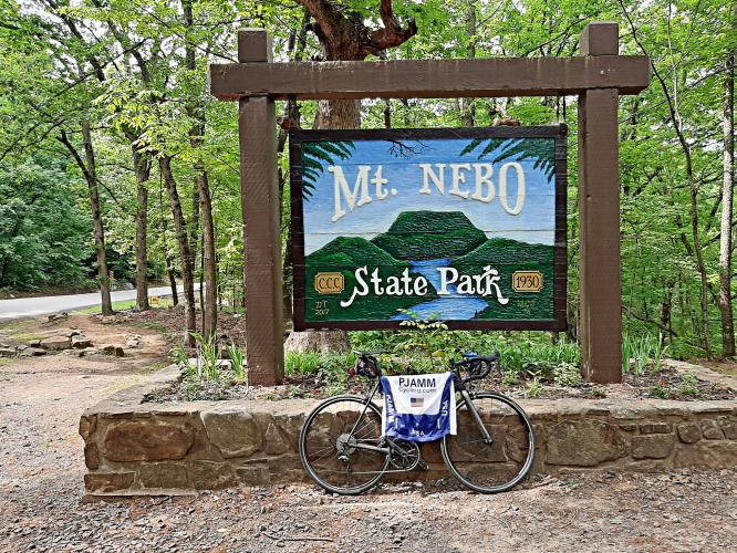
At the top we turn right and there is a large parking area with great views of the country side. There are also overlooks after the climb, along the ridge of the mountain, both to the left and to the right. So it is worth exploring the State Park a little after finishing the climb to see all the views. There is no entrance fee for the State Park.
![]()
The road surface is good throughout the climb. There is no shoulder but traffic is pretty light and all the drivers we met were courteous. However, we do need to be cautious if a car going up and a car going down happen to meet us at the same time in one of the tight S curves.
![]()

 We've partnered with Sherpa-Map.com to bring you the best route planning tool. With a PRO Membership you can use this climb as a reference when creating your route.

