INTRO
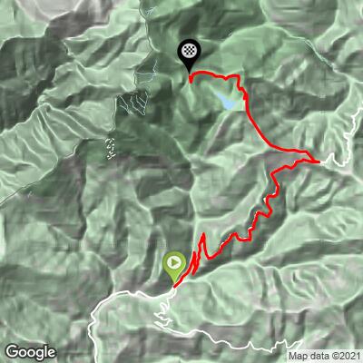
Colle Melosa is a 1,556 m (5,106 ft) mountain pass in the Alpi Liguri, the range where the Ligurian Alps meet the French border above the Italian Riviera. From Pigna - a medieval village built in a tight spiral on a hillside in the Val Nervia - the climb covers 18.3 km (11.4 mi) and gains 1,330 m (4,363 ft) at a moderate average grade of 7.0%.
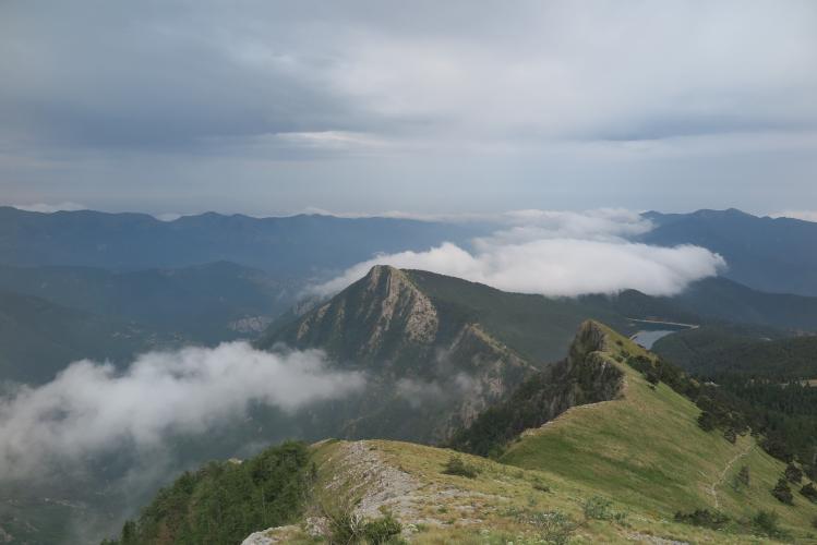
The road climbs out of Pigna to the small stone hamlet of Buggio, at the foot of Monte Toraggio, then continues up through forest to the Colle Langan junction, where this route joins the road used by the climb's other approach from Molini di Triora for the final push to the pass. The hardest pitches come early - a steep stretch out of Pigna averages into the low teens - before the grade settles into a long, steady, and genuinely scenic grind through the Parco Naturale Regionale delle Alpi Liguri, with views that open up toward the French border ridgeline the higher you climb.
Colle Melosa sits at the edge of the Alta Via del Sale, a historic unpaved military road connecting the Alps to the Ligurian Sea, and the summit has a working mountain rifugio with a restaurant - a rare amenity at the top of an Alpine-style pass. See our Routes in the Area tool for the other paved and gravel climbs converging on this same corner of the Ligurian Alps.
PLAN YOUR ROUTE
 We've partnered with Sherpa-Map.com to bring you the best route planning tool. With a PRO Membership you can use this climb as a reference when creating your route.
 Colle Melosa from Pigna covers 18.3 km (11.4 mi) at an average grade of 7.0%, gaining 1,330 m (4,363 ft) from 289 m (948 ft) in Pigna to the 1,556 m (5,106 ft) summit.
The climb front-loads its hardest work: the steepest 0.4 km (0.25 mi), right out of Pigna, averages 13.1%, while the steepest 0.8 km (0.5 mi) averages 10.4% and the steepest 1.6 km (1 mi) averages 9.1%. Beyond that early test the grade settles down considerably - the steepest 4 km (2.5 mi) averages 8.2% and the steepest 8 km (5 mi) averages 7.3% - making the back half of the climb, through Colle Langan and into the pass, a long, steady grind rather than a series of hard pitches.
Pigna itself is worth the extra hour before or after the ride - its medieval core is built in a genuine spiral up the hillside, laced with dark, vaulted passageways locals call "chibi," and the village has run a working thermal spa on its sulphurous springs since the 1200s. It's a rare combination for a base camp: a wellness soak and a Hors Categorie-length climb in the same small village.
This road typically closes with snow for the winter and reopens in late spring, so plan an Alpi Liguri trip for late spring through early autumn. If you want a longer day, the Colle Langan junction partway up also connects to the climb's other approach from Molini di Triora, making a there-and-back via the other village a realistic add-on for a bigger loop.
For a taste of the unpaved Alta Via del Sale that continues past the summit toward the French border, a gravel bike (or a short out-and-back on foot) from the rifugio is the easiest way to sample it without committing to the whole historic route.
ROUTE MAP