40.5
PDI
13.7 mi
DISTANCE
5,708 ft
GAINED
7.8 %
AVG. GRADE
FULL CLIMB STATS
INTRO
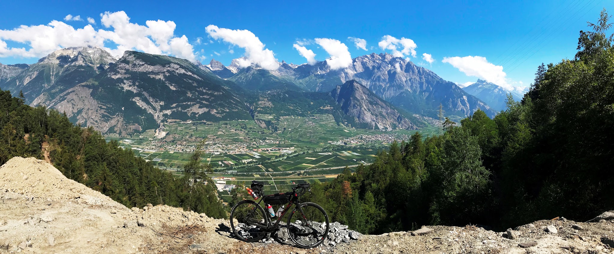
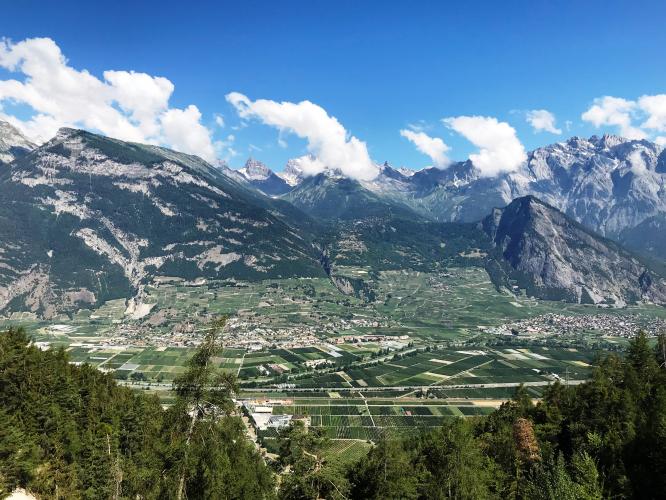
Croix de Coeur is a high pass above the Rhone Valley in Switzerland's Valais region, reachable by bike from four different directions - Riddes, Aproz, and two routes via La Chable/Verbier. The Riddes side, covered here, is the classic and most-ridden approach: 13.67 miles and 5,708 feet of gain at an average 7.78% grade, topping out at 7,124 feet.
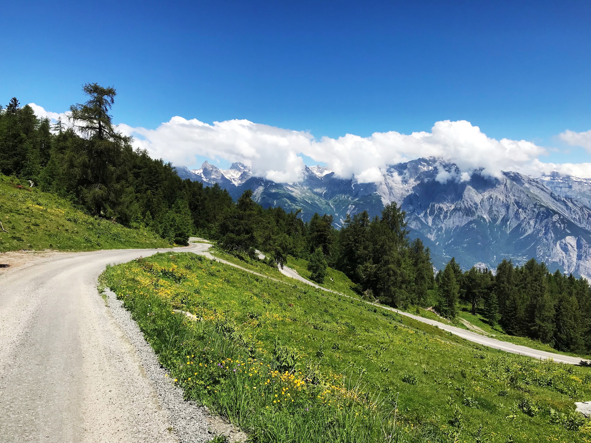
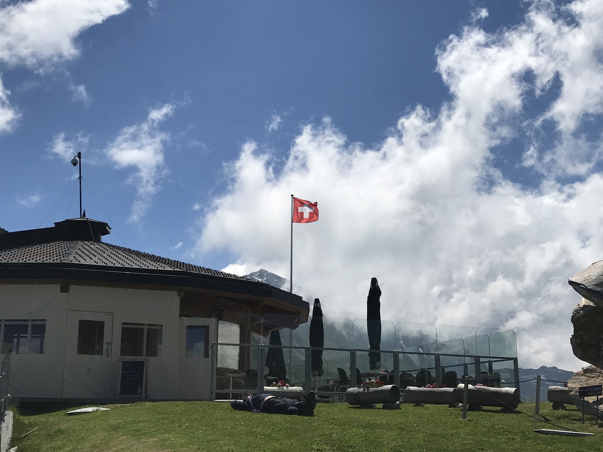
The first half climbs through Riddes' vineyards and switchbacks to La Tzoumaz, a small ski resort village roughly at the halfway point, passing through several unlit road tunnels along the way - a taillight is worth carrying. Above La Tzoumaz the road narrows and quiets considerably, climbing above the treeline on rougher pavement before the final few miles turn to hard-packed gravel, manageable on a standard road bike, to the summit and its view across Verbier and the Val de Bagnes to the Mont Blanc massif.
World rank #97 places this among Switzerland's toughest climbs, with the steepest sustained section - averaging over 10% - arriving early, around the 1-mile mark. The road was closed for a period after a tunnel collapse on the lower section but has been fully reopened since repairs completed in 2024, with new lighting installed to help manage traffic through the tunnels.
PLAN YOUR ROUTE
 We've partnered with Sherpa-Map.com to bring you the best route planning tool. With a PRO Membership you can use this climb as a reference when creating your route.
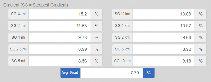
 Croix de Coeur from Riddes averages 7.78% over 13.67 miles, front-loaded with its hardest riding: the toughest quarter-mile touches 15.05% and the steepest full mile averages 9.8%, both coming in the lower switchbacks above Riddes before the road reaches La Tzoumaz.
From there the grade eases slightly and stays more consistent the rest of the way, with the toughest 5-mile stretch still averaging a sustained 8.5% - there's no real flat or downhill relief anywhere on the route.
World rank #97 reflects that sustained difficulty rather than any single extreme pitch - this is a long, steady grind more than a climb with one brutal ramp.
Roadway: The lower half, Riddes to La Tzoumaz, is a wide, well-paved road passing through several unlit tunnels - carry a taillight. Above La Tzoumaz the road narrows to a single lane with noticeably rougher, patchier pavement, and the final third of the climb turns to hard-packed gravel - manageable on a standard road bike, but not a smooth finish. The route was closed for a stretch after a tunnel collapse on the lower section; that repair was completed and the road fully reopened in June 2024, with new lighting added to help manage large-vehicle traffic through the tunnels. The upper pass typically isn't reliably clear of snow until late May or early June - check conditions before an early-season attempt.
Traffic: Light to moderate from Riddes up to La Tzoumaz, where local and ski-resort traffic share the road; above La Tzoumaz traffic drops off to nearly nothing the rest of the way to the summit.
Parking: There's no dedicated trailhead lot - riders typically start from central Riddes, which has free street parking and its own railway station on the Rhone Valley line, making this a workable climb to reach by train.
This is a long, sustained grind - a compact crankset (34x30 or lower) is the right call for the consistent 8%+ grades, especially the steeper opening switchbacks above Riddes. Climbfinder-tracked times range from about 1 hour at a strong pace to 3 hours at a relaxed one, so plan accordingly. Carry a taillight for the unlit tunnels in the lower half.
La Tzoumaz, roughly halfway up, has the last reliable water and food (a small fountain and cafes near the ski lift); the restaurant at the summit isn't always open, so don't count on it for your final resupply.
Before heading out on any cycling adventure check out our Things to Bring on a Cycling Trip and use our interactive check list to ensure you don't forget anything.
Riddes is a small Rhone Valley town with its own train station, making this climb an easy one to reach without a car. It's also just one of four ways up to the same Croix de Coeur summit - the others start from Aproz and from La Chable near Verbier - so riders based in the area can string together more than one approach on the same trip. Use our Sherpa Map tool to build a custom route linking this climb with a nearby approach or another Valais classic.
Above La Tzoumaz the road climbs into open, marmot-country alpine terrain with a payoff view over Verbier and the Val de Bagnes to the Mont Blanc massif - worth the trip even beyond the climb itself.
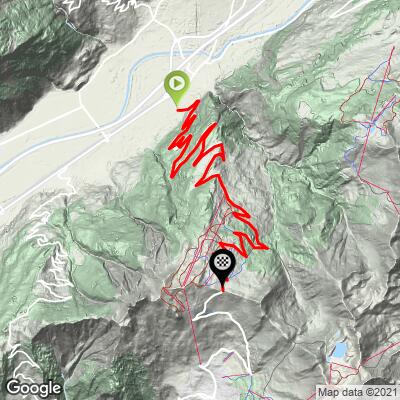
ROUTE MAP
MEMBER RATING
CURRENT WEATHER
PJAMM TRIPS ADVENTURE STARTER BUNDLES
Check out PJAMM Adventure's prepackaged (self-guided) cycling trips. They will help you plan, document and conquer your next adventure.
NEARBY CLIMBS (0) RADIAL PROXIMITY
FROM No Climbs Found
MEMBER REVIEWS & COMMENTS
Let us know what you thought of this climb. Signup for our FREE membership to write a review or post a comment.
Already have an account?
LOG IN HERE