Roque de los Muchachos (West) Bike Climb - PJAMM Cycling

53.4
PDI
19.3 mi
DISTANCE
7,666 ft
GAINED
7.5 %
AVG. GRADE

FULL CLIMB STATS

Page Contributor(s): Robert Procee, Leeuwarden, the Netherlands

INTRO

Roque de los Muchachos (West) is a monumental 19.3-mile climb on La Palma, in Spain's Canary Islands, gaining 7,666 feet as it climbs from the village of El Tablado, on the island's rugged northwest coast, to the summit at 2,426 meters (7,959 feet) - the highest point on La Palma and home to the Roque de los Muchachos Observatory. We currently rank it #35 in our worldwide difficulty database, and it's genuinely one of the tallest paved ascents from near sea level anywhere in the world. The route runs through the Garafía municipality on the LP-4 before finishing on the paved LP-403 observatory spur, an HC-category effort with sustained double-digit pitches and sections reported over 20% - there's no easy stretch to recover on for nearly 20 miles. The reward is a summit unlike almost anywhere else in cycling: a sea of clouds far below, volcanic rock underfoot, and a cluster of world-class telescopes at the top. The observatory itself is a working research facility, open to the public only via prior-reservation guided tours - the road remains open to riders (weather and maintenance permitting), but don't expect to wander the grounds. The LP-4/LP-403 corridor has seen periodic closures over the past year for ice, rockfall, and repaving work near the summit, so check current road status before you commit to the climb - conditions above 2,000 meters can turn quickly even when the coast is warm and clear.

PLAN YOUR ROUTE

We've partnered with Sherpa-Map.com to bring you the best route planning tool. With a PRO Membership you can use this climb as a reference when creating your route.
Roque de los Muchachos (West) climbs 7,666 feet over 19.3 miles from El Tablado to the summit observatories - an HC-category effort with little real recovery. Other documented routes up this same mountain report sustained sections in the 10-11% range and short pitches over 20% as the road works up through Garafía and onto the island's high spine. Expect the effort to stay hard for nearly the entire distance rather than concentrate in one crux section, and pace accordingly. We don't yet have a precise mile-by-mile gradient breakdown for this exact route - use our interactive Profile Tool for the most current grade data we have.
Roadway: The climb is fully paved via the LP-4 through Garafía municipality, finishing on the paved LP-403 spur to the observatory complex. The road has seen periodic closures over the past year for ice and rockfall near the summit, as well as repaving and retaining-wall work at points along the route - check current conditions with the Cabildo de La Palma or local sources before you go, since a closure this high up can leave a rider with no easy detour. Traffic: Traffic is generally light on this side of the island - El Tablado and Garafía are quiet, rural communities, and the upper mountain sees mostly other cyclists, hikers, and observatory staff or service vehicles rather than through-traffic. The narrow mountain road has real drop-offs in places, so ride defensively on blind corners. Parking: There's no formal trailhead; riders typically stage in El Tablado or Garafía, both small villages with limited services. Fuel, food, and full services are available in the larger towns of Santa Cruz de la Palma or Los Llanos de Aridane before you head up.
This is a long, high-altitude paved climb, so standard road bike gearing with a compact or sub-compact crank helps on the sustained double-digit pitches. Temperatures swing enormously from the coast to the 2,400-meter summit - pack layers and a wind shell even on a warm day, since the summit sits above the cloud line and can be genuinely cold, windy, or fogged in regardless of conditions at sea level. Carry more water and food than you think you'll need; services thin out fast once you leave El Tablado or Garafía, and there's nothing at the summit beyond the observatory facilities, which aren't open to the public.
Before heading out on any cycling adventure check out our Things to Bring on a Cycling Trip and use our interactive check list to ensure you don't forget anything.
Roque de los Muchachos sits on La Palma, the smallest of the main Canary Islands, reached by air or ferry via Tenerife or Gran Canaria. El Tablado and Garafía are quiet rural villages with limited services, so base yourself in Santa Cruz de la Palma or Los Llanos de Aridane for full amenities and easy access to this side of the island. Check current road status before you ride - the LP-4/LP-403 corridor has had multiple closures over the past year for ice, rockfall, and repaving work near the summit. La Palma's 2021 Cumbre Vieja volcanic eruption was on the southern part of the island and did not affect this northern route, but it's worth knowing the island's geology is still active.

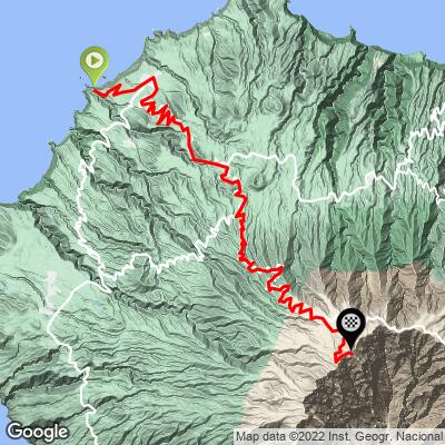
ROUTE MAP
MEMBER RATING

Not Yet Rated
-
Road
-
Traffic
-
Scenery

CURRENT WEATHER

PJAMM TRIPS ADVENTURE STARTER BUNDLES

Check out PJAMM Adventure's prepackaged (self-guided) cycling trips. They will help you plan, document and conquer your next adventure.
ALL TRIPS
Browse all of our prepackaged trips and find your next adventure!
Gran Canaria
Spain
17 ROUTES
10 POIs
ROUTE STATS (TOTAL)
215.8
mi
DISTANCE
61,983
ft
ELEV. GAIN
Tenerife
Spain
16 ROUTES
18 POIs
ROUTE STATS (TOTAL)
357.2
mi
DISTANCE
95,674
ft
ELEV. GAIN

NEARBY CLIMBS (0) RADIAL PROXIMITY

FROM
No Climbs Found

MEMBER REVIEWS & COMMENTS

Let us know what you thought of this climb. Signup for our FREE membership to write a review or post a comment.
Already have an account?
ROUTE MAP
PROFILE TOOL
Route Data
S.G. (%)
hide
Segment Data
hide
CLIMB SUMMARY

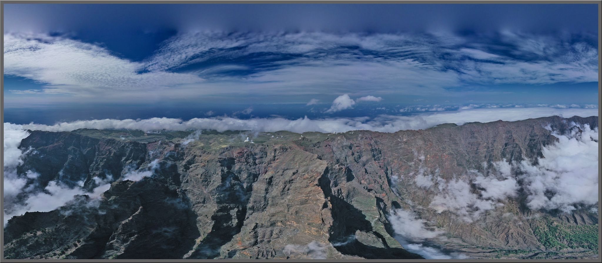
panoramic view of cliffs of Roque de los Muchachos

Cycling Roque de los Muchachos from the west (Canary Islands, Spain)

Ride 17.7 miles gaining 7,465’ at 7.4% average grade (9.7% climb only)

This is one of the most epic climbs in the world and ranked World #27 in difficulty.  We made the two hour ferry ride from Tenerife and stayed two days just for this climb and Llano de las Animas (world #6).  However, we feel like a solid five days riding on the island is justified.

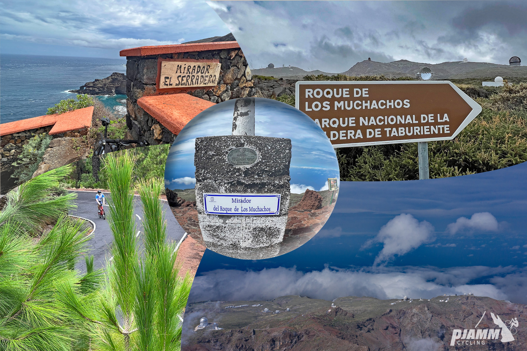
photo collage shows views of cliffs of Roque de los Muchachos, sign for Mirador el Serradero, sign for National park

Roque de los Muchachos is truly one of the best bike climbs in the entire world.

Roque de Los Muchacho means “Rock of the Boys” and is a rocky mound at the highest point on the Island of La Palma.  Also at the top of this climb are several observatories, with some of the largest telescopes in the world, constructed there because the altitude and dry climate provide for excellent observing conditions.

START

Mirador el Serradero

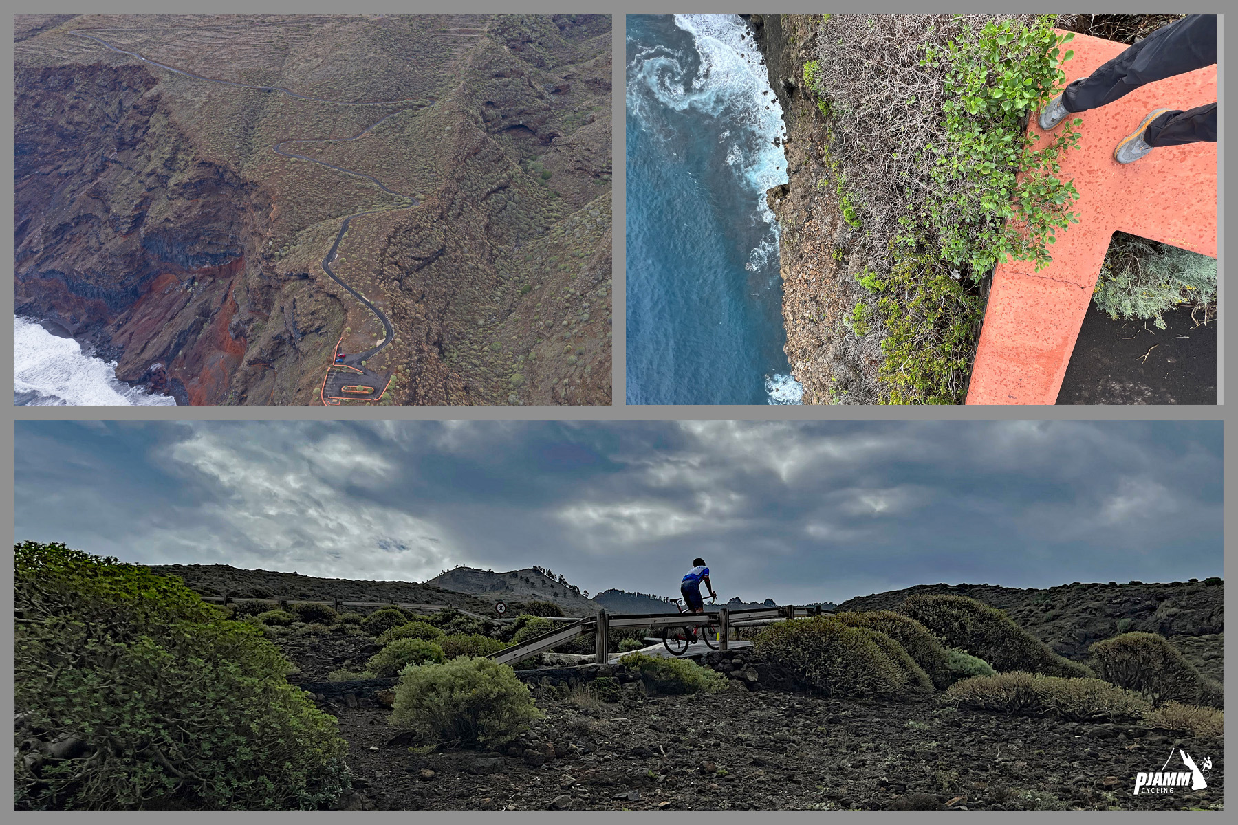
photo collage shows climb start at Mirador el Serradero, aerial view of climb, looking down the cliffside at ocean below, PJAMM Cyclist rides bike across small bridge

Climb begins at Mirador el Serradero at 256’ elevation.

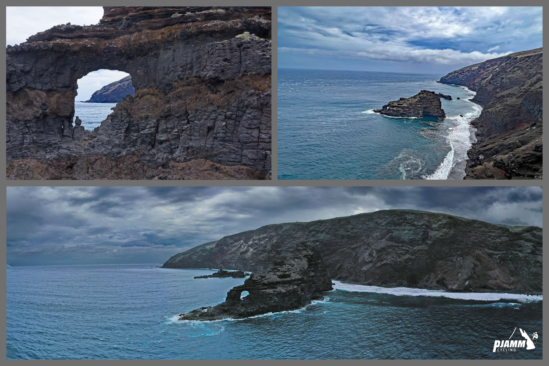
photo collage of coastal views of Roque de las Tabaibas

Roque de las Tabaibas is a prominent focus from the Mirador at the start of the climb.

SEGMENT 1

Start to LP-1

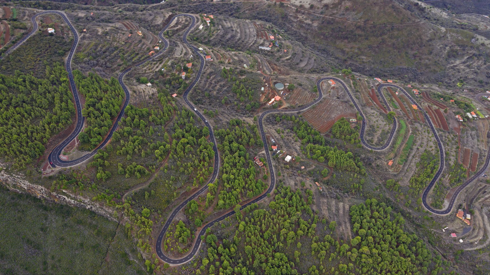
aerial drone view of switchbacks and curving road

11.75 kilometers at 7% average grade.

The first segment of the climb is from an unobstructed and spectacular view of the North Atlantic Ocean up a fun set of hairpins on LP 112 to its intersection with LP 1.  

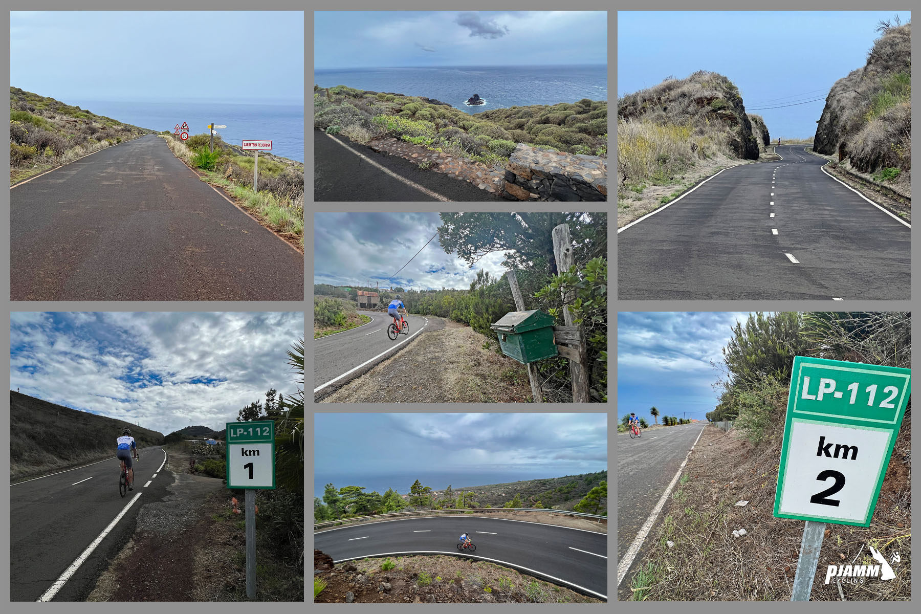
photo collage shows KM markers 1 and 2, PJAMM cyclist rides on coastal highway

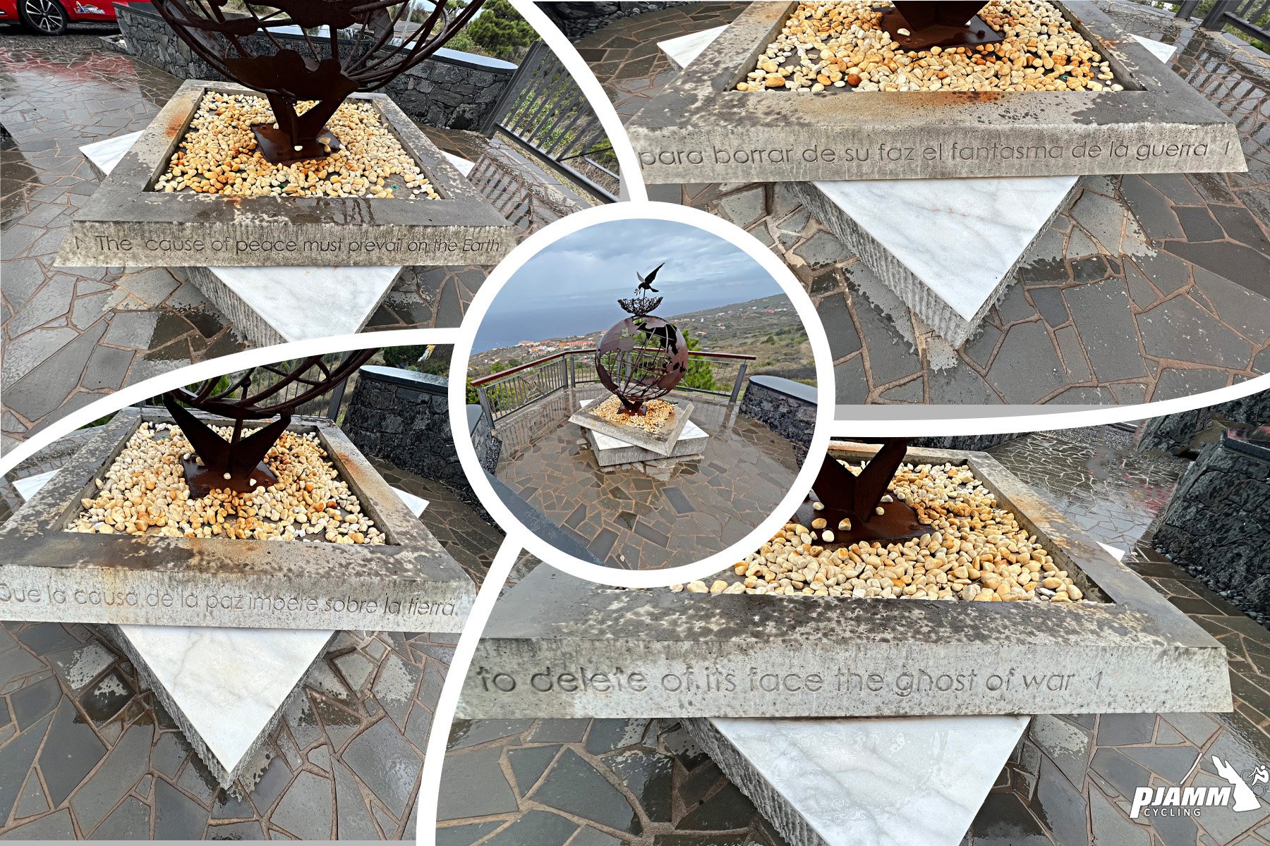
Mirador de la Paz; terrestrial sphere with dove

Mirador de la Paz at kilometer 4.8

Terrestrial sphere with dove as a symbol of peace.

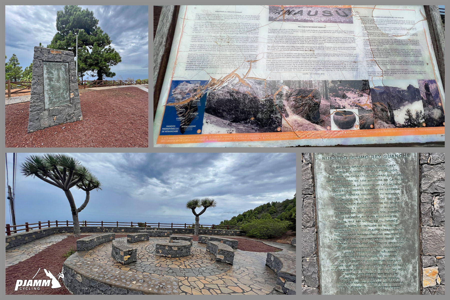
photo collage shows informational sign and Joshua Tree plants at Paqrue Tanausu

Parque Tanausu at kilometer 8.

SEGMENT 2

LP-1 to LP-4 (Road to Roque de los Muchachos)

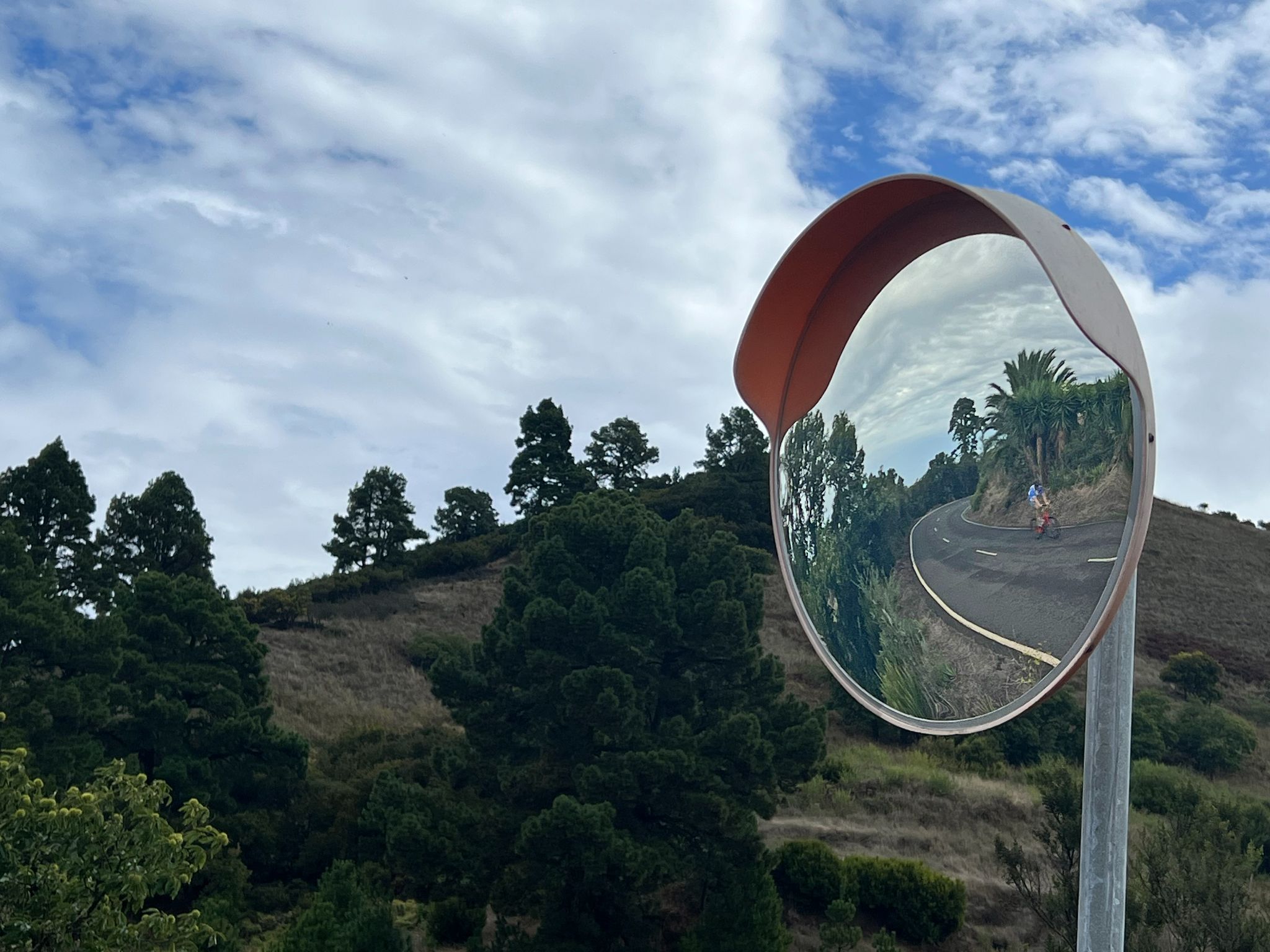
mirror on roadway reflects tropical and evergreen trees, PJAMM Cyclist riding on two-lane roadway

3.3 kilometers at 6.6%.

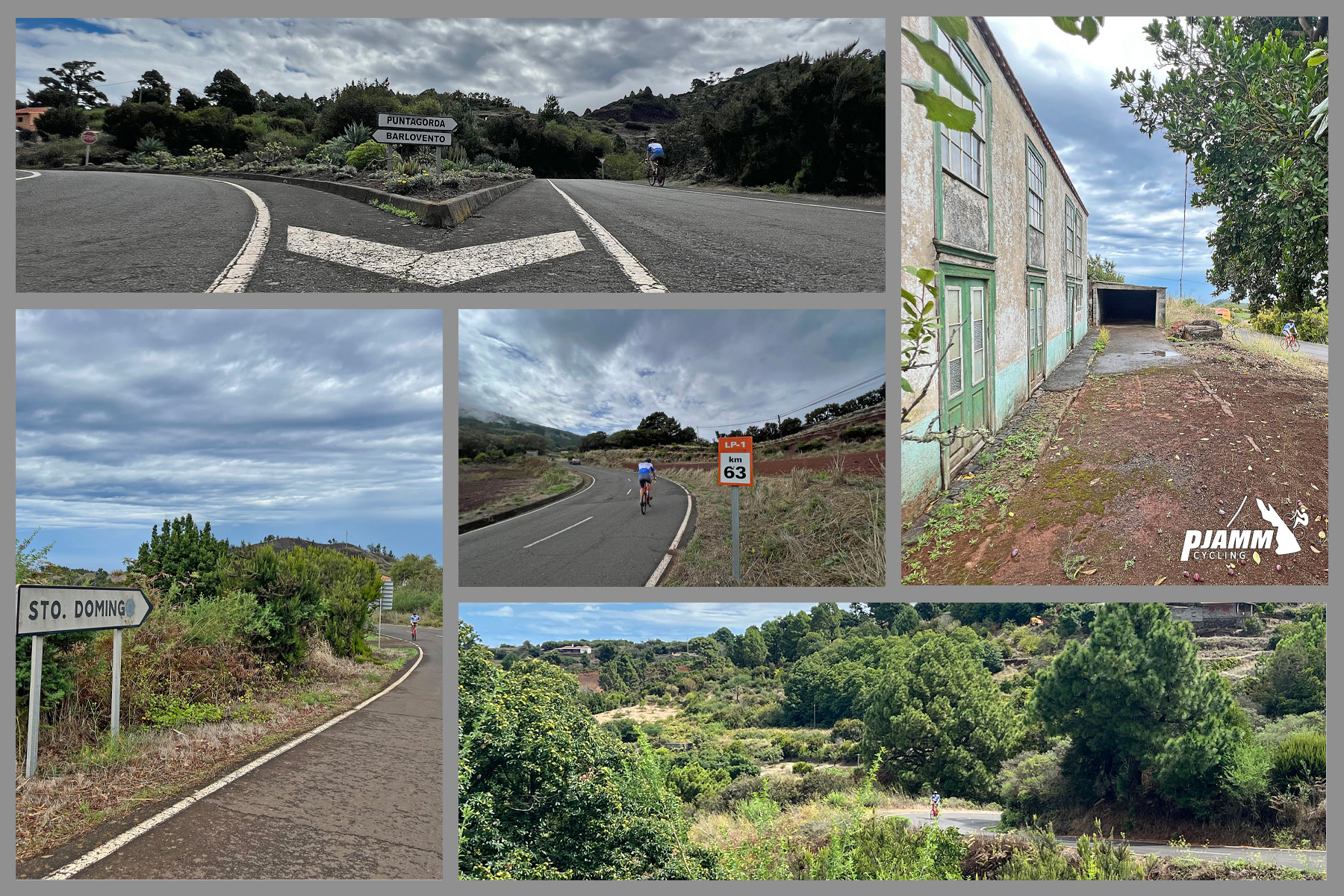
photo collage shows views from LP 1, two-lane highway roadway, sign for Sto Domingo

LP 1 circumnavigates the northern half of the island.

SEGMENT 3

LP-4 to Road to Roque de los Muchachos

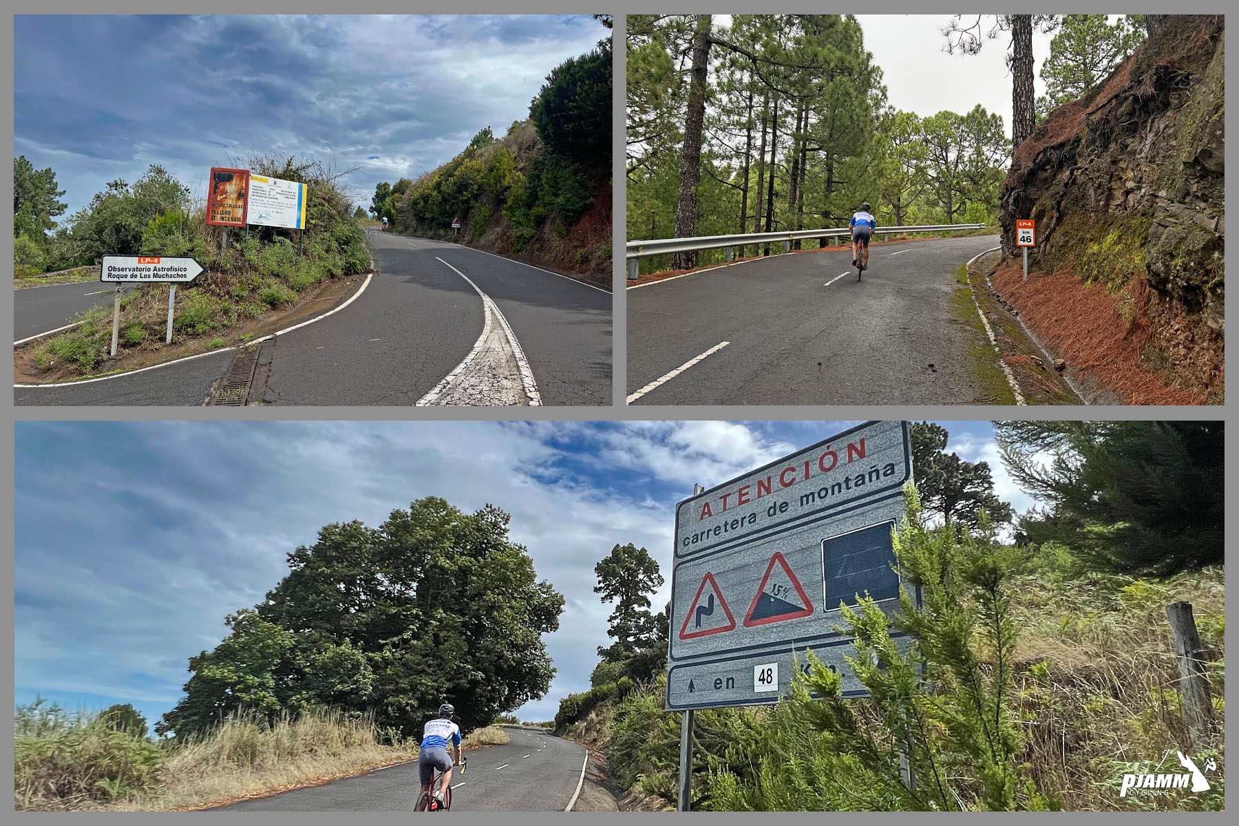
photo collage shows PJAMM cyclist riding on two-lane highway roadway, evergreen trees, sign reads "Atencion carretera de montana"

12.2 kilometers at 8.3%.

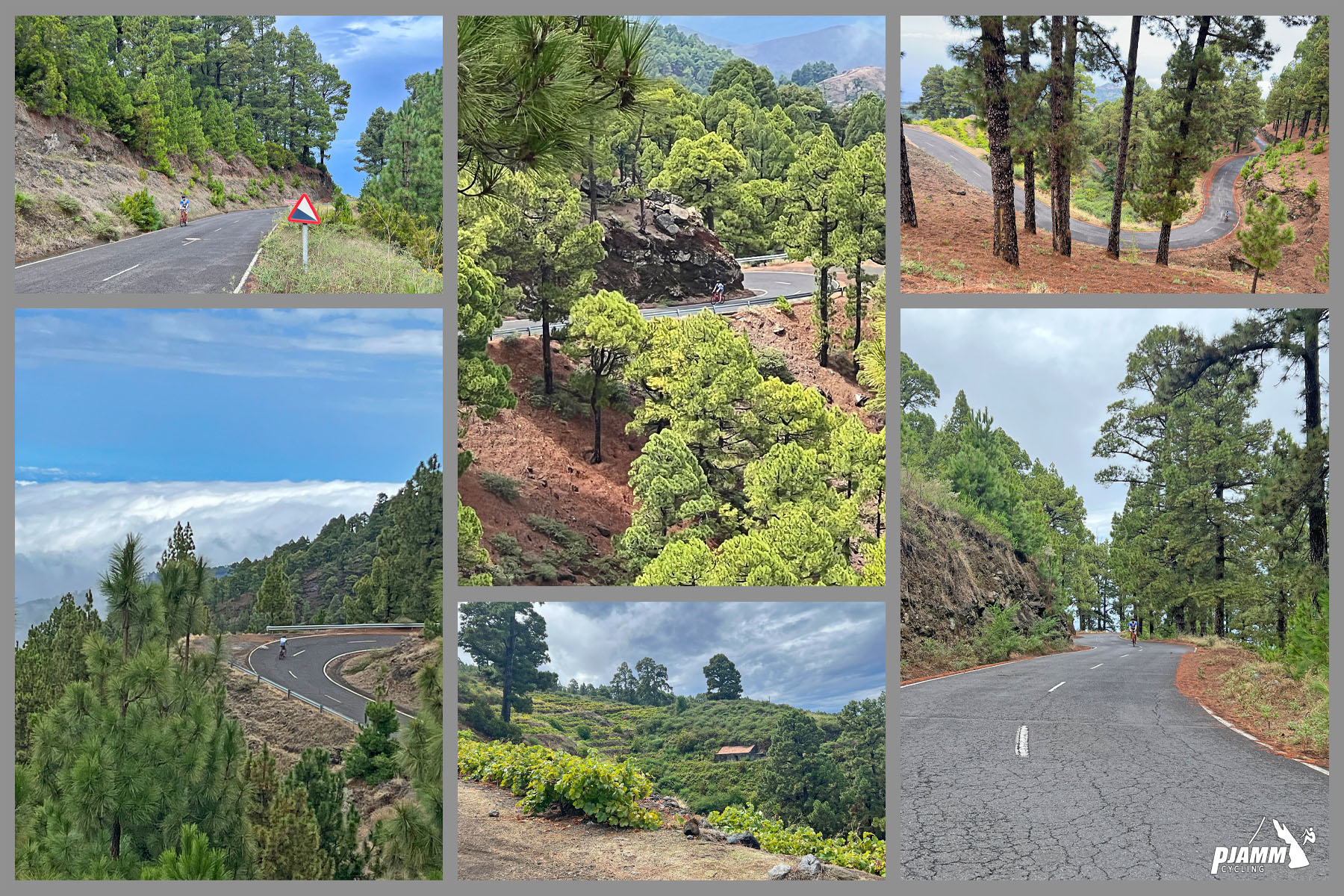
photo collage shows alpine tree setting on two-lane mountain highway roadway

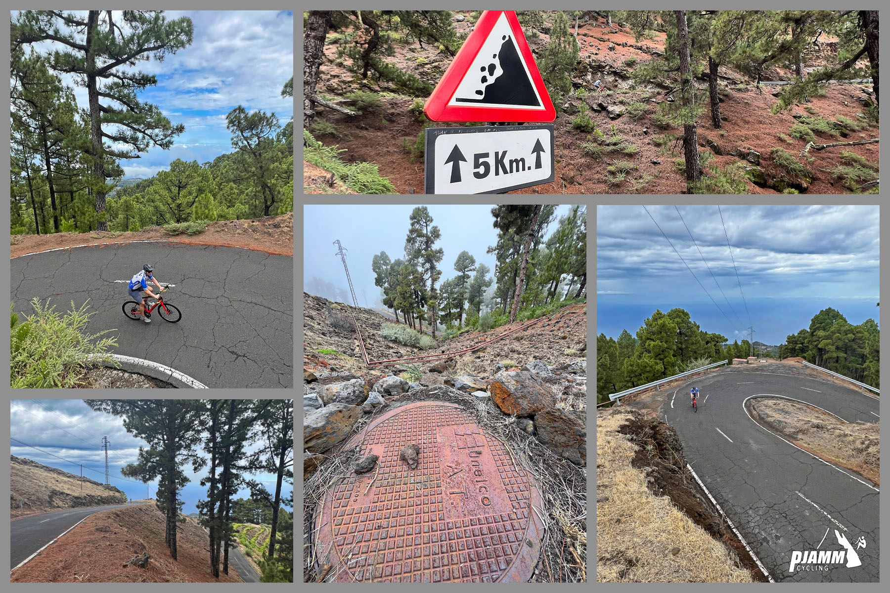
We are in an alpine setting the entire segment but for the last two kilometers before the turn to the observatories.

photo collage shows PJAMM cyclist riding on switchback in roadway, alpine setting, road sign warns of falling rocks for 5 kilometers

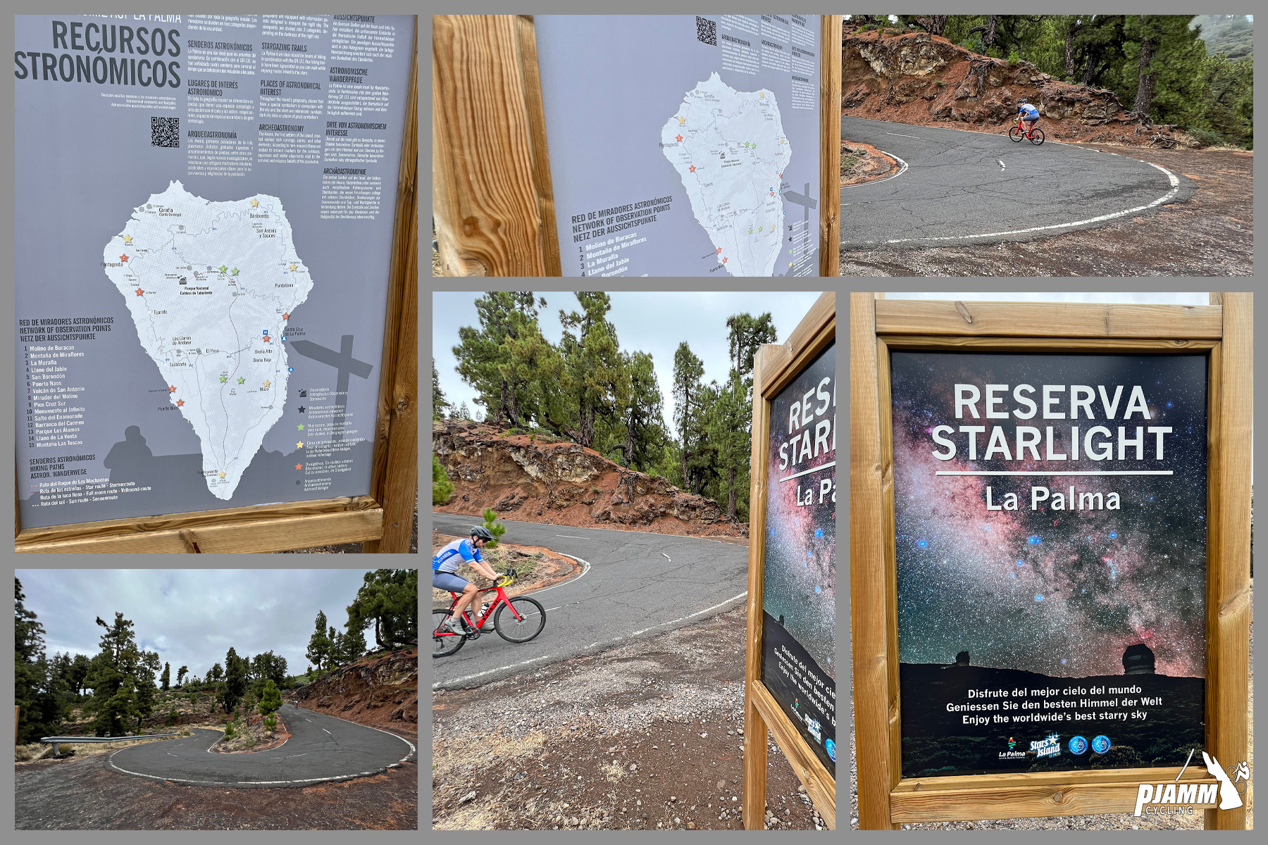
photo collage shows multiple informational signs reading "Reseva Starlight: La Palma," hairpin turn in roadway

Placards on the hairpin at kilometer 25.3.

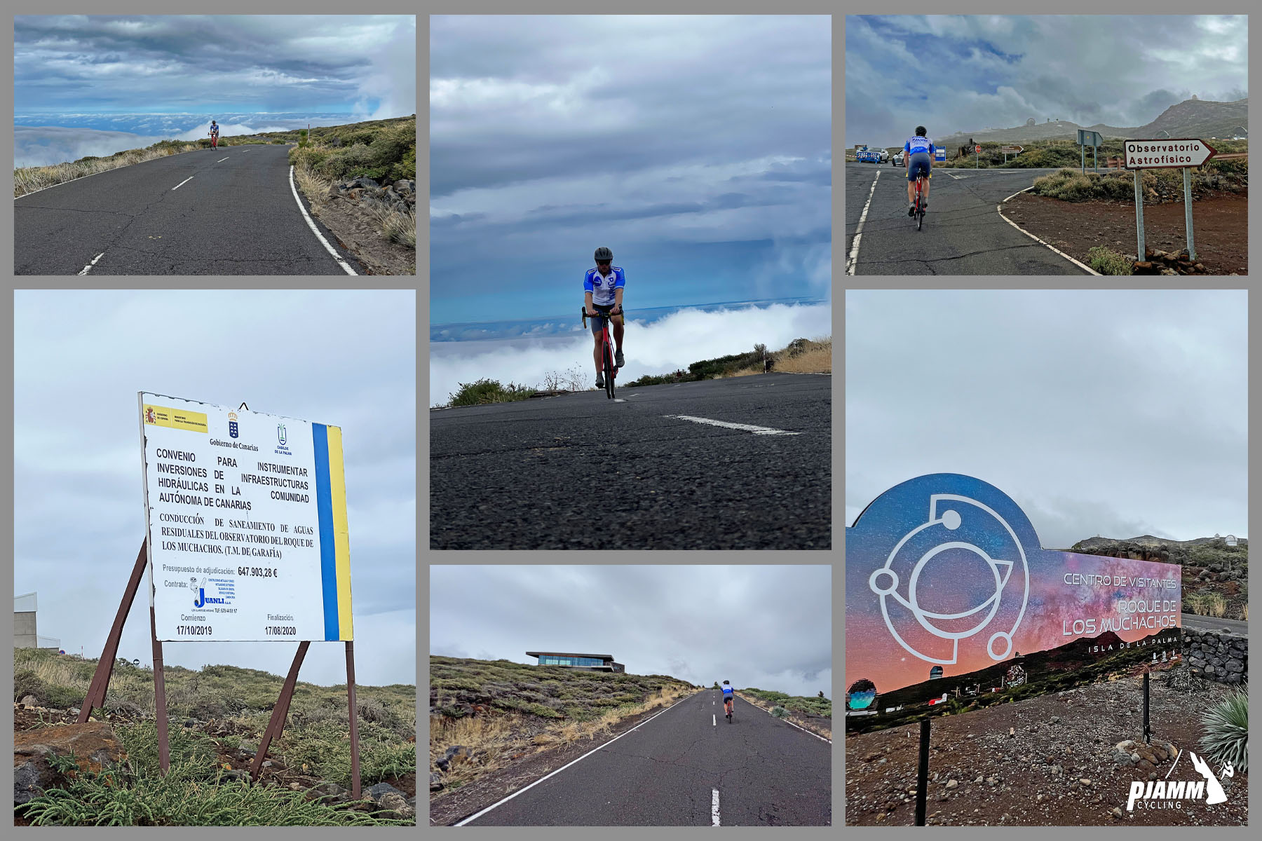
photo collage shows PJAMM cyclist riding on two-lane highway roadway approaching the turnoff to Roque de los Muchachos Road; road signs

Approaching the turn off to Roque de los Muchachos Road.

We pass the Visitor Center (15 euros for non-residents as of 2022) on our left just before turning onto Roque de los Muchachos Road.

SEGMENT 4

Start of Road to Roque de los Muchachos to Finish

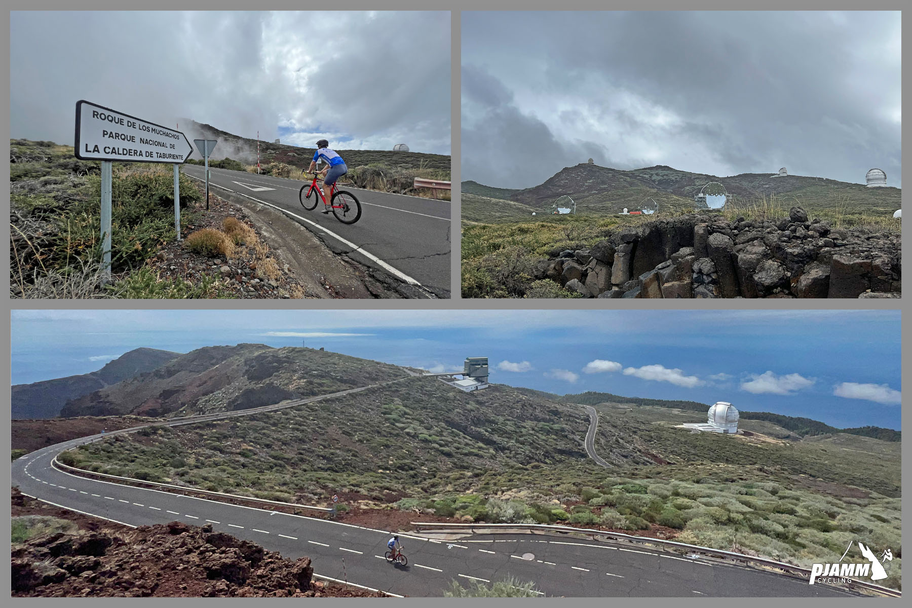
photo collage shows PJAMM cyclist riding on two-lane highway roadway approaching observatory on Roque de los Muchachos climb

3.9 kilometers at 7.3%

Learn about the Roque de los Muchachos telescopes at Instituto de Astroffisica de Canarias.

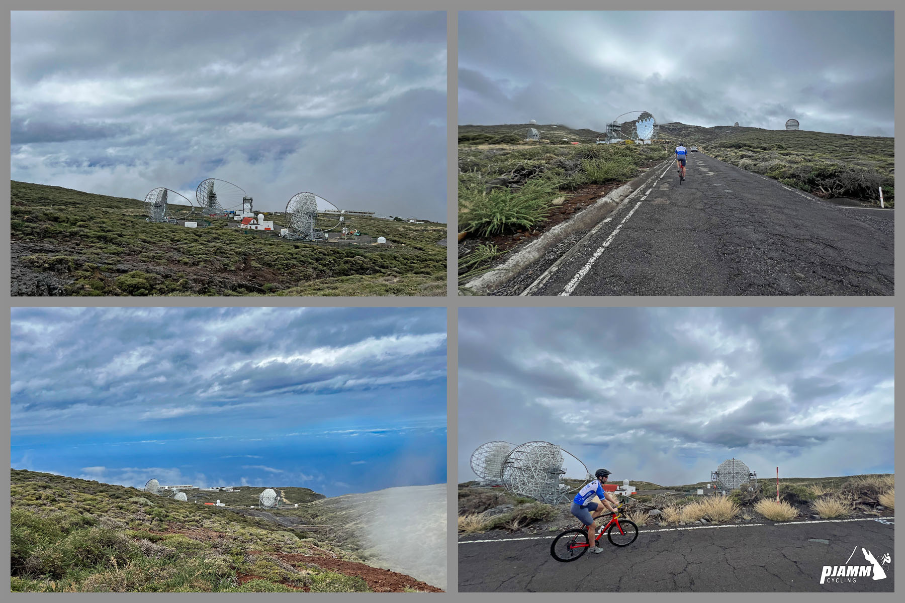
photo collage shows PJAMM cyclist riding past three MAGIC telescopes on Roque de los Muchachos ride

3 MAGIC telescopes detect high energy gamma rays.

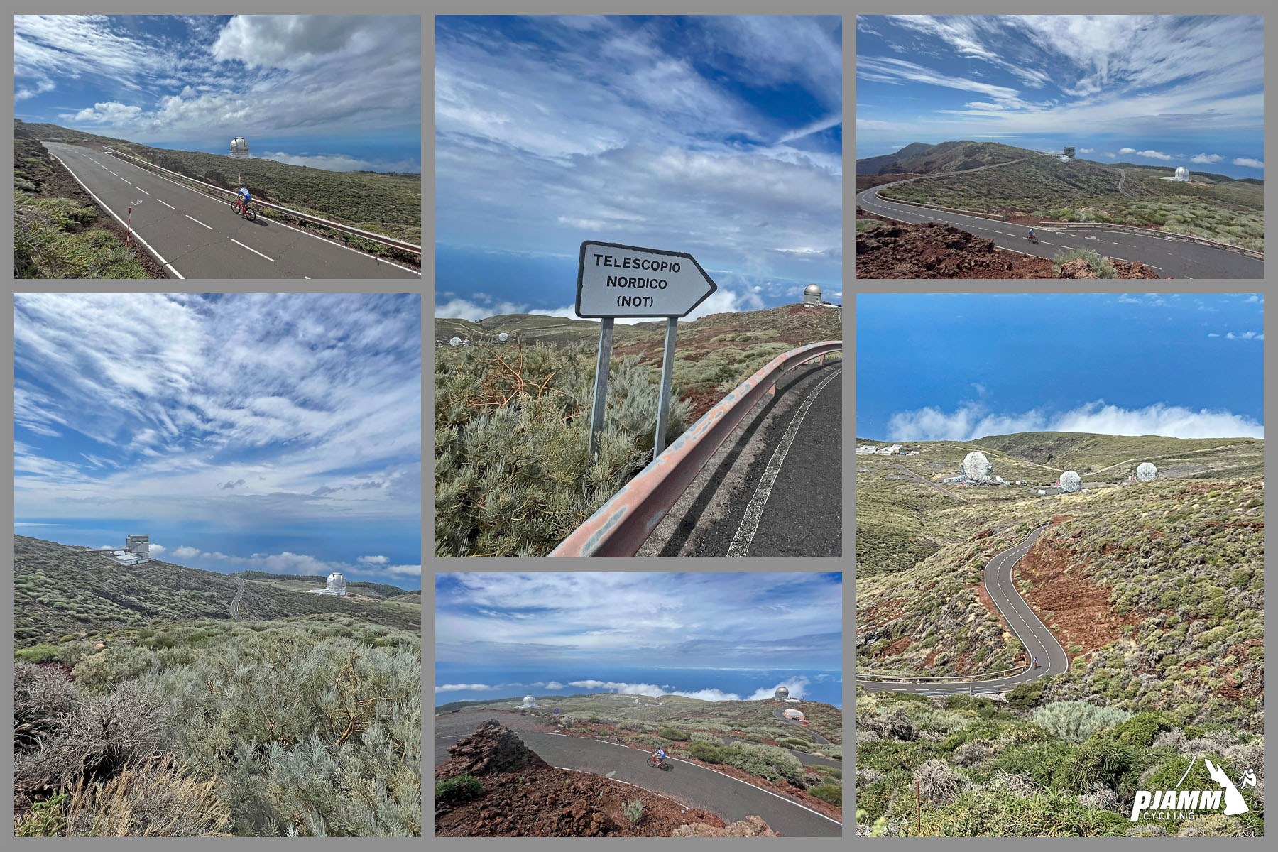
photo collage shows distant views of telescopes; sign reads "Telescopio Nordico"

THE FINISH AND TOP OF THE VOLCANO

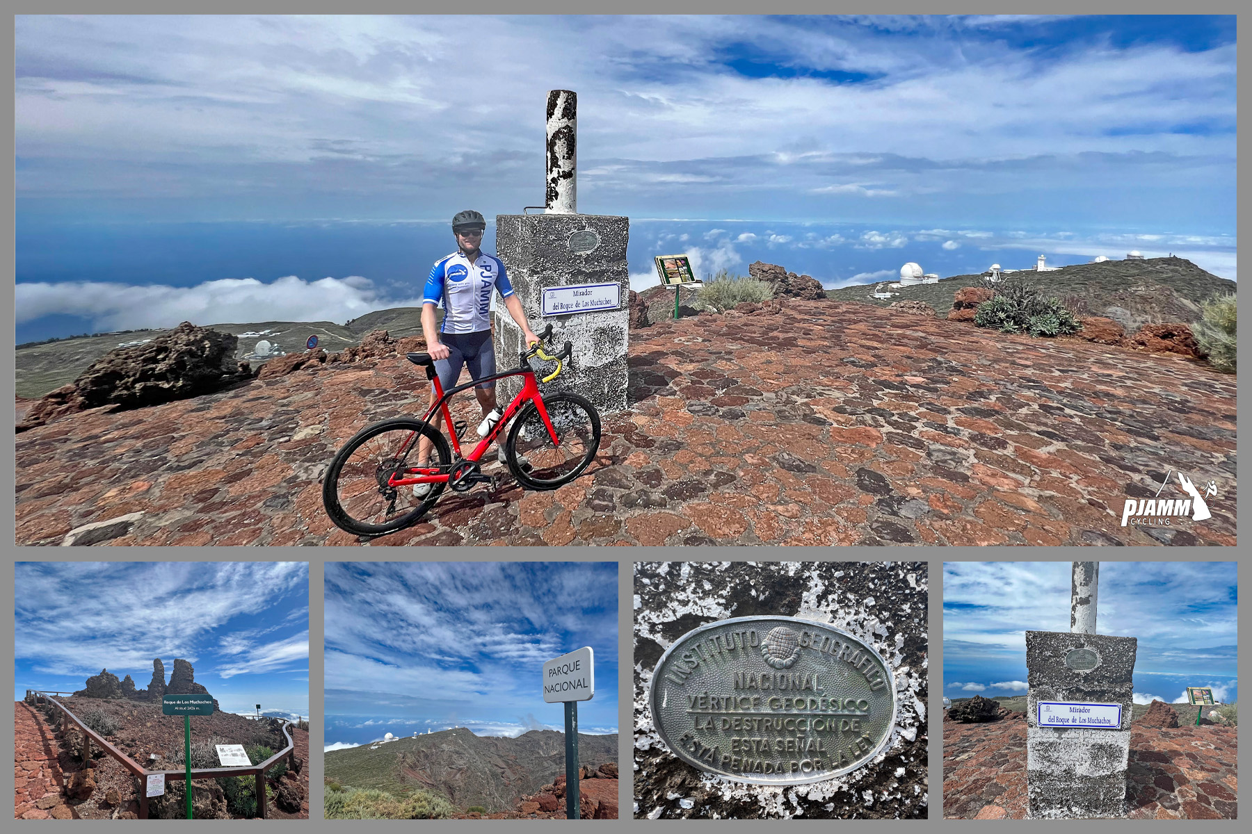
photo collage shows PJAMM Cyclist standing next to monument and placard at climb finish past the observatories

Climb finishes above the observatories - there are two fairly short hikes to viewpoints from the top.

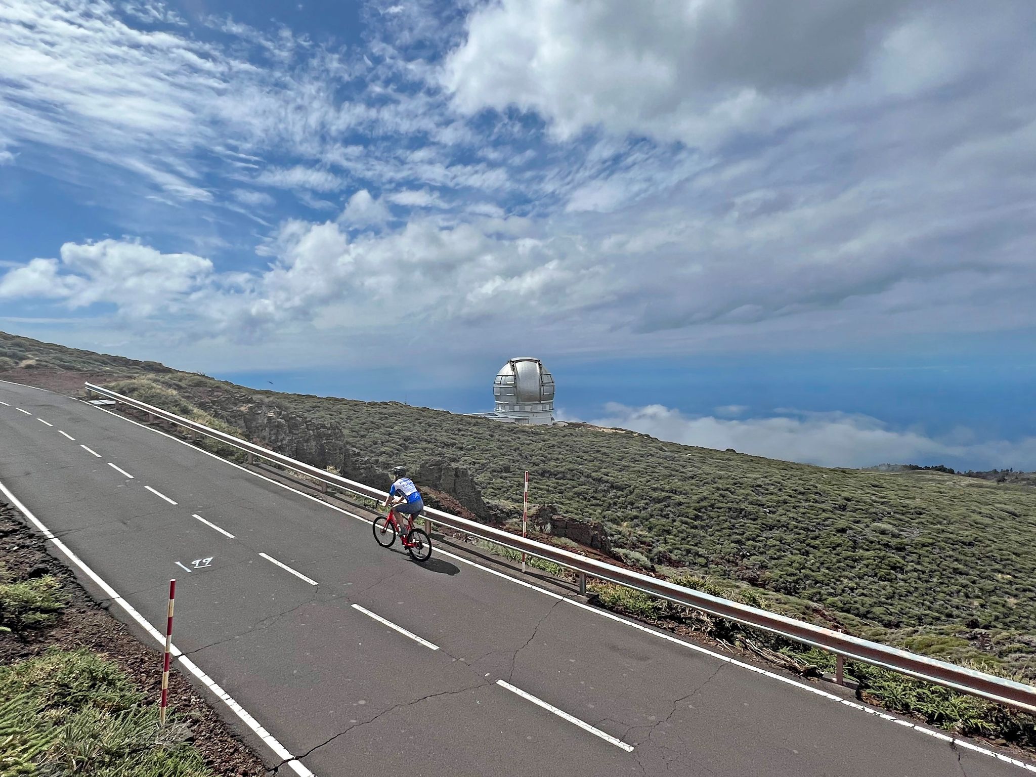
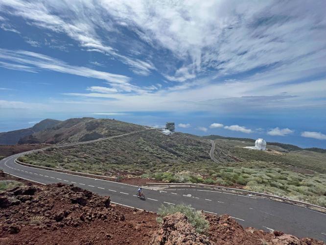
PJAMM cyclist rides on two-lane roadway with Gran Telescopio Canarias in distance

The world’s largest telescope - Gran Telescopio Canarias - 10.4 meters (34.1’).

“Gran Telescopio Canarias (GTC), the largest optical telescope in the world, with a mirror that has a diameter of 10.4 metres (34.1 feet). It is located at the Roque de los Muchachos Observatory on La Palma (2,326 metres [7,631 feet]) in the Canary Islands of Spain. The mirror consists of 36 hexagonal pieces, which can be moved separately from each other, and the shape of each piece can be changed. These two types of movements can compensate for the changes in the observed light that are caused by turbulence in Earth’s atmosphere. The telescope is mounted in a system that moves both in altitude and in azimuth to observe any point in the sky. Construction of the GTC began in 2000; it made its first observation in 2007. The GTC is operated by a consortium of four institutions: the Institute of Astrophysics of the Canary Islands, the National Autonomous University of Mexico, the National Institute of Astrophysics, Optics, and Electronics of Mexico, and the University of Florida” (Britannica.com).

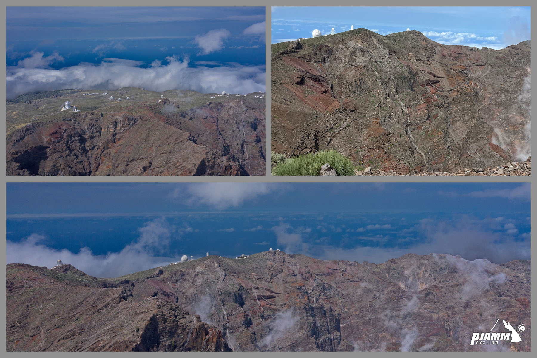
photo collage shows observatories sitting atop Roque de los Muchachos from aerial drone view

Second best location for observatories in Northern Hemisphere behind Mauna Kea.

Established in 1985, there are roughly 16 observatories at the top of Roque de los Muchachos from countries including Spain, Britain, The Netherlands, and other countries.  

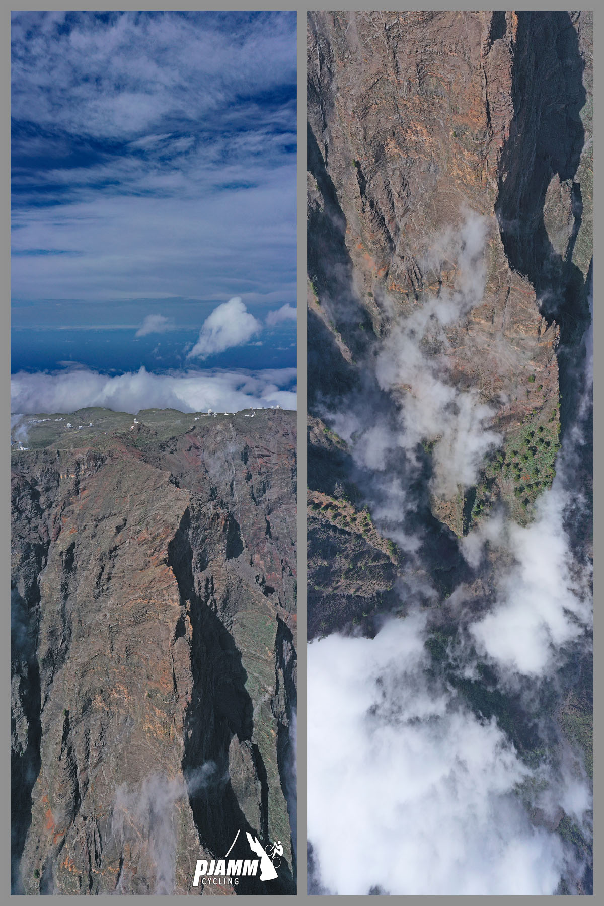
aerial drone views of cliffs of Roque de las Muchachos volcano

Many of the observatories are near the steep cliffs of the Roque de las Muchachos volcano.

DangerousRoads.org writes of this magnificent climb:

“Roque de los Muchachos is a high mountain pass at an elevation of 2.423 m (7,949 ft) above the sea level, located on the island of La Palma in the Canary Islands, Spain. It’s one of the highest mountain passes of Spain.

The road to the summit is called Carretera al Roque de los Muchachos. Fog, clouds and snow make the road dangerous. The road is 3.8km long starting in the LP-4 road.  It’s asphalted and was built for access to the telescopes of an astronomical observatory near the summit. The road is really steep, with sections up to 12.0%.This immense climb is one of the best places in the world for stargazing. It is a drive-to summit, with a developed asphalt road right to the top, a parking lot right on the summit and an information booth right there.  The drive is definitely worth it. There are many excellent photo opportunities. Don't forget your camera with lots of film/memory and fully charged batteries! The Roque de los Muchachos boasts one of the clearest skies on the planet thanks to the climatic conditions and its unique physical characteristics” (DangerousRoads.org).