McBride Peak Bike Climb - PJAMM Cycling

31.6
PDI
6.6 mi
DISTANCE
3,639 ft
GAINED
10.4 %
AVG. GRADE

FULL CLIMB STATS

INTRO

McBride Peak is a mostly-gravel climb up a well-built former logging road (the McBride Peak Forest Service Road, also known locally as Rainbow Falls Road) in the Robson Valley of east-central British Columbia. The 6.6-mile, 3,639-foot climb averages 10.4% - by our data, the steepest sustained climb in Canada - starting from the small village of McBride and finishing near treeline at 6,024 feet, just below the peak's true 6,722-foot summit, which is reachable from the road's end by trail.

The road climbs through second-growth forest via a series of tight switchbacks, passing Rainbow Falls along the way, and was graded well enough for logging trucks despite the steep, sustained pitch - it's unpaved the entire way but rideable on a road bike with wider tires in dry conditions.

McBride sits in the Robson Valley, within reach of Mount Robson Provincial Park - home to Mount Robson, the highest peak in the Canadian Rockies at 12,972 feet (3,954 m) - making the area a worthwhile stop beyond the climb itself for hikers and cyclists exploring the Yellowhead Highway corridor.

PLAN YOUR ROUTE

We've partnered with Sherpa-Map.com to bring you the best route planning tool. With a PRO Membership you can use this climb as a reference when creating your route.
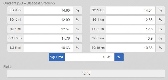
McBride Peak averages 10.4% over 6.6 miles (10.7 km), gaining 3,639 feet - by PJAMM's data, the steepest sustained climb in Canada.  63% of the climb is at 10-15% and 10% is at 15-20%.  The steepest 500 meters is 14.4% and steepest 2 kilometers 12.1%.  

Use the “Routes in Area” button on the menu bar to see other bike climbs in this area. 
Roadway:  Unpaved the entire way, but a well-built former logging road that's manageable on a road bike with 28mm+ tires in dry conditions, though it's narrow, loose in spots, and threaded with tight switchbacks.

Traffic:  Very light. This is an active forest service road, so occasional trucks are possible, but on a past ride up the mountain we encountered only one vehicle the entire climb.

Parking:  There's room to park near the base of the climb, or you can ride out from McBride village, about 3.6 km (2.2 mi) away.
Provisions:  None on the climb - the road dead-ends near the summit and you descend back the way you came, so carry what you need from McBride.

Gear:  A gravel bike is a natural fit, though the climb is rideable on a road bike with wider (28mm+) tires in dry conditions.
Before heading out on any cycling adventure check out our Things to Bring on a Cycling Trip and use our interactive check list to ensure you don't forget anything.
McBride is a small, friendly village in the Robson Valley, worth a night's stay before or after the climb - it's also a natural base for exploring Mount Robson Provincial Park, home to the Canadian Rockies' highest peak, about an hour east on the Yellowhead Highway.

There are no other major PJAMM climbs in the immediate area, but the Robson Valley has plenty of quieter riding along the Fraser River and the Yellowhead corridor for those extending their stay.

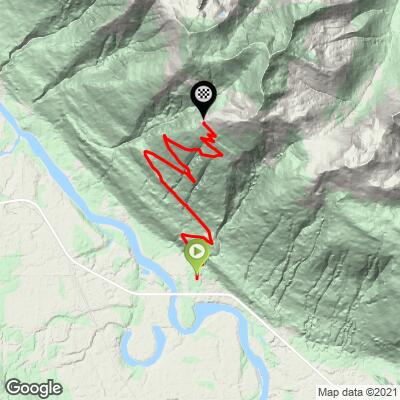
ROUTE MAP
MEMBER RATING

Not Yet Rated
-
Road
-
Traffic
-
Scenery

CURRENT WEATHER

PJAMM TRIPS ADVENTURE STARTER BUNDLES

Check out PJAMM Adventure's prepackaged (self-guided) cycling trips. They will help you plan, document and conquer your next adventure.
ALL TRIPS
Browse all of our prepackaged trips and find your next adventure!

NEARBY CLIMBS (0) RADIAL PROXIMITY

FROM
No Climbs Found

MEMBER REVIEWS & COMMENTS

Let us know what you thought of this climb. Signup for our FREE membership to write a review or post a comment.
Already have an account?
ROUTE MAP
PROFILE TOOL
Route Data
S.G. (%)
hide
Segment Data
hide
CLIMB SUMMARY

#1 Canada/#68 World - Ride 10.7 kilometers gaining 1178 meters at 11.1% average grade.

This is IT!  Wow!!  Canada’s Top Climb - NO DOUBT ABOUT IT - been there, done that - there will be no rematch!  This beast lives up to its ranking – We cannot say enough about this adventure, it has it all.  At the outset, we must advise (warn?) that the road as of June, 2016 was entirely dirt and rock.  One of us (the old guy) used a Specialized Roubaix with a compact chainring (34t) and 32 cassette (I really do not like to publicize that, but for purposes of those objectively evaluating this climb, I guess I have to fess up, just this once), 28cm tire back and 25cm front, while the young-un made it with no problem with a compact 34t front chainring and 28t cassette.  


Gravel/dirt all the way - but manageable on a road bike.

McBride Peak is the highest point of the McBride Range which is a small mountain range in southwestern BC, Canada and is part of the Garibaldi Range which is a subrange of the Pacific Ranges of the Coast Mountains.

We were surprised that very few cyclists appear to have taken on the mighty McBride Peak climb.  As of July, 2016, there was only 1 Strava attempt for any part of the Mountain, this in spite of the fact that McBride Peak is listed as the #1 most difficult climb in Canada by ClimbByBike (verified by the FIETS ranking system we use).  We created a Strava segment for the climb from the beginning of Rainbow Falls Road to the top of the bike portion of the climb - one can hike another 2 kilometers to the top).  

IMG_2235.JPG

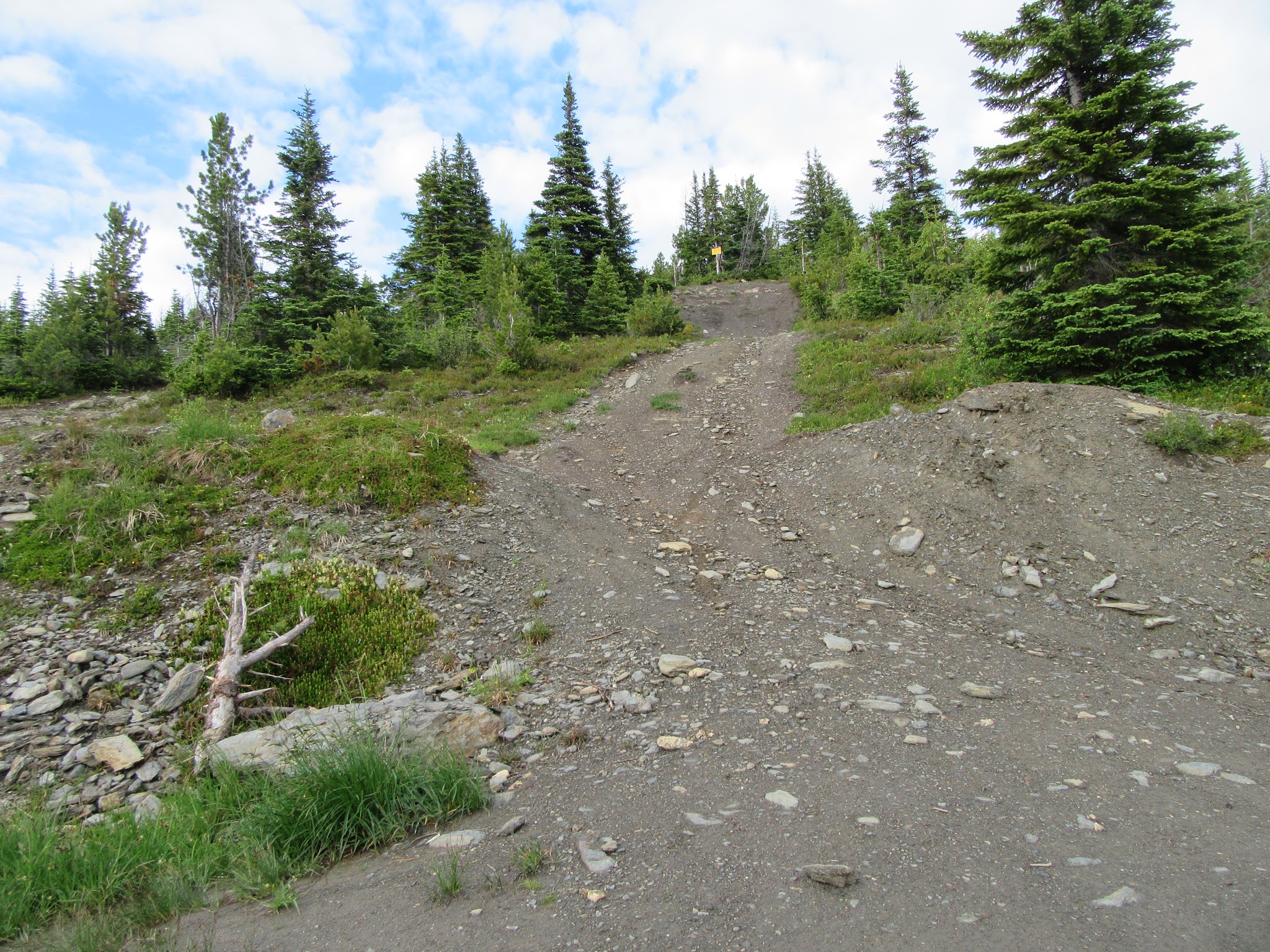
The “road” to McBride Peak - not manageable on bike.

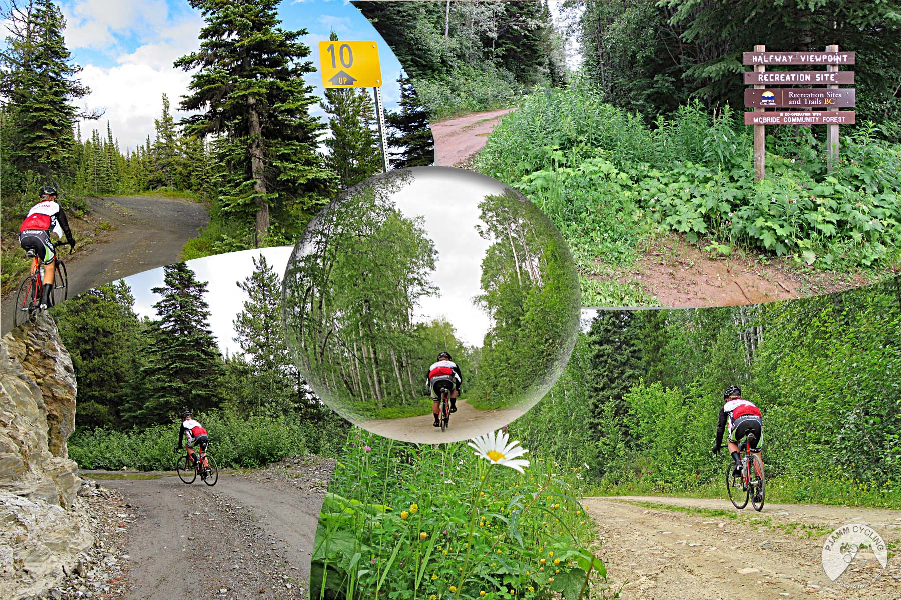
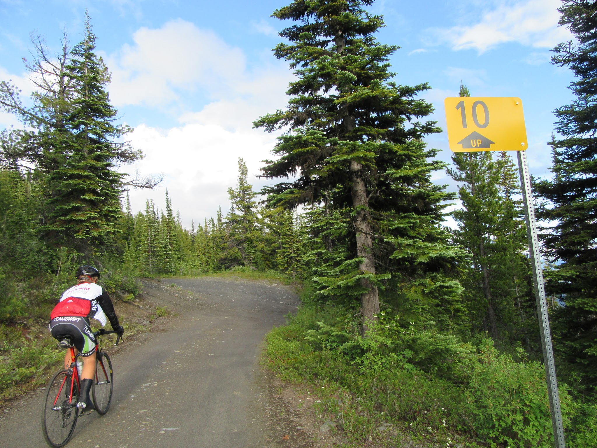
Climbing McBride Peak by bike - cyclist riding past kilometer sign

There are kilometer markers along the route

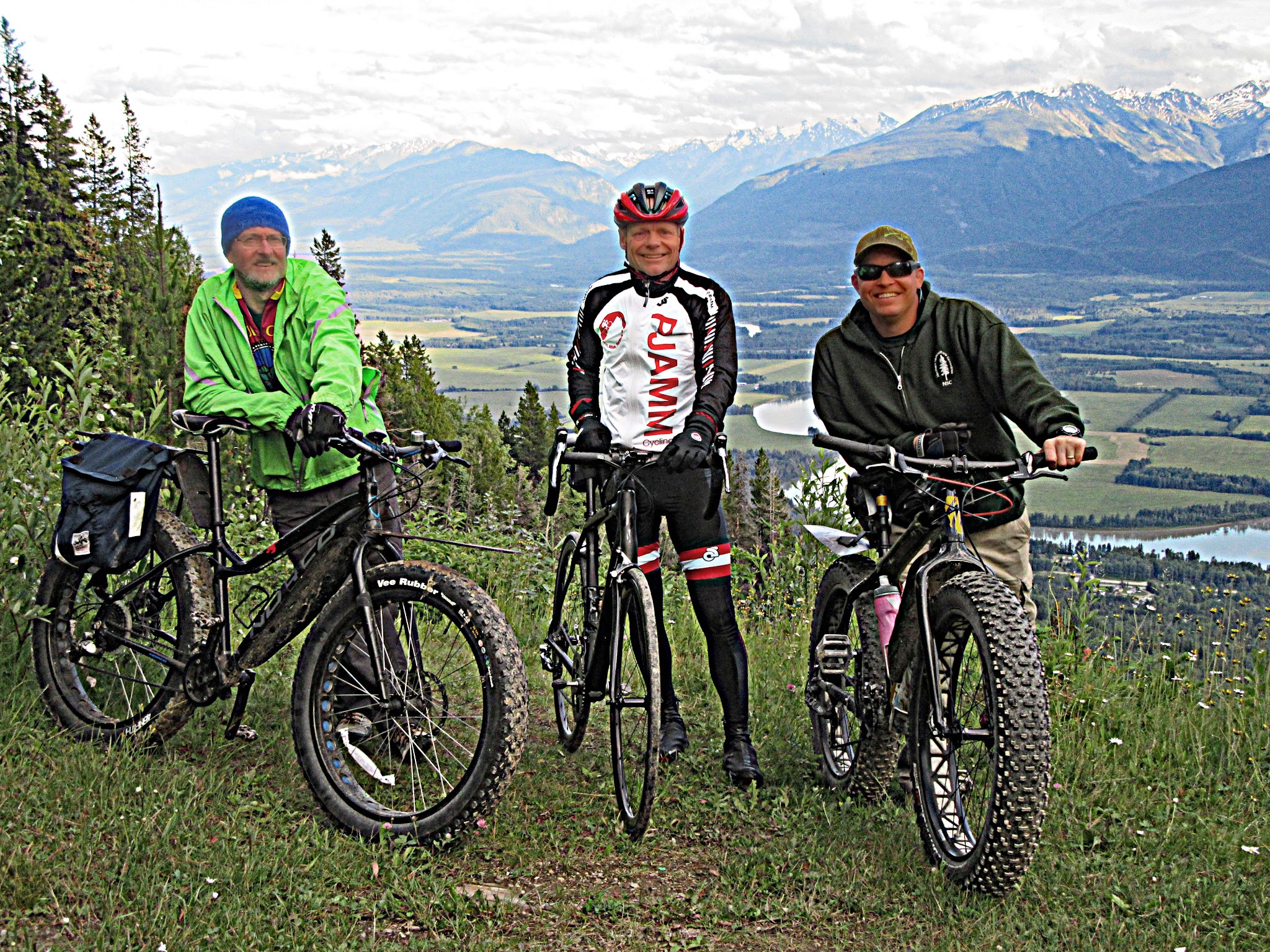
We do recommend a cross , or even mountain, bike for those with such cycling options.  We ran into Troy and Dave, two great adventurous Canadians who had just made the climb on fat bikes (see slideshow photo for contrast between a road bike 25cm tire and a fat bike tire) – we agree that Troy and Dave are the smart ones and we are just plain . . . well, let’s not get rude here . . . .

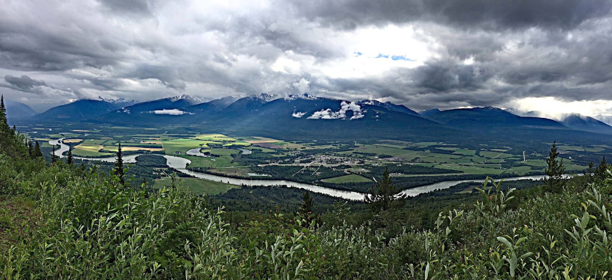
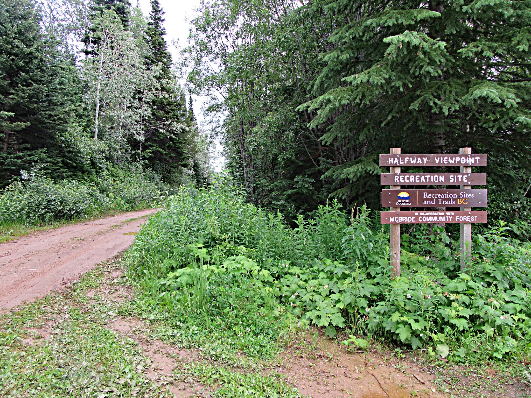
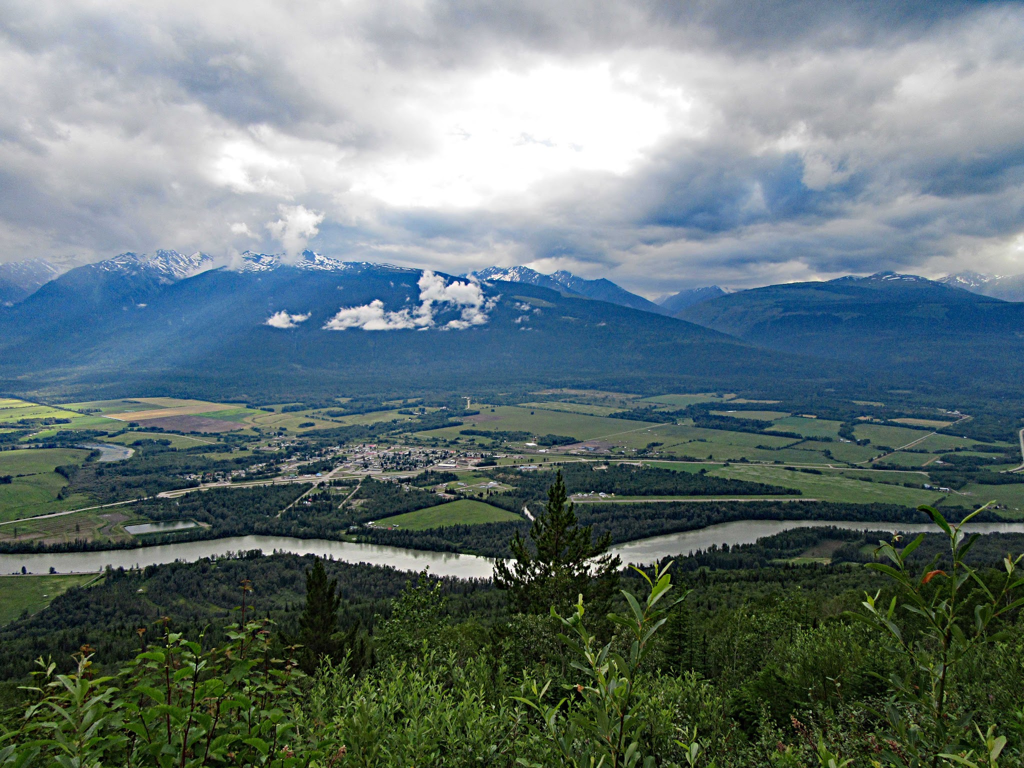
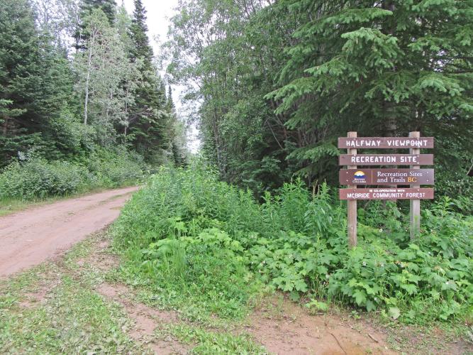
There is a viewpoint at the halfway mark that offers stunning views of the Robson Valley, Fraser River, McBride area and the Cariboo Mountains to the south/southeast – unbelievable and by itself worth the climb (you will have gotten your money’s worth by just going to this point and saving your legs for another day (see slideshow for graphic proof of our subjective conclusions on this point).

Bicycle ride McBride Peak - road and road sign

IMG_2205.JPG

There are a few 75-100 meter stretches in the 22-26% range, made a bit more difficult climbing on dirt with limited success standing and powering up the mountain.  

Weather:  Be prepared for precipitation on this journey as McBride is home to the wettest July on average in Canada with averages 21 rainy days during the month.   From June to August the average low temperature is around 7 celsius (45 degrees) and high 22/71.  We were extremely fortunate the day we climbed the mountain as there was a 70% probability of rain, yet we made it through bone dry – no rain.  

Roadway Surface and Traffic:  Good News and Bad News:  Which do you want first?  The good news is – no traffic!  The bad news likely explains the good news:  the road is pretty rough – the ascent was manageable on a road bike, but the descent was pretty tough on the body (what the Roubaix gives, the 60 years of age takes away on this bumpy descent).

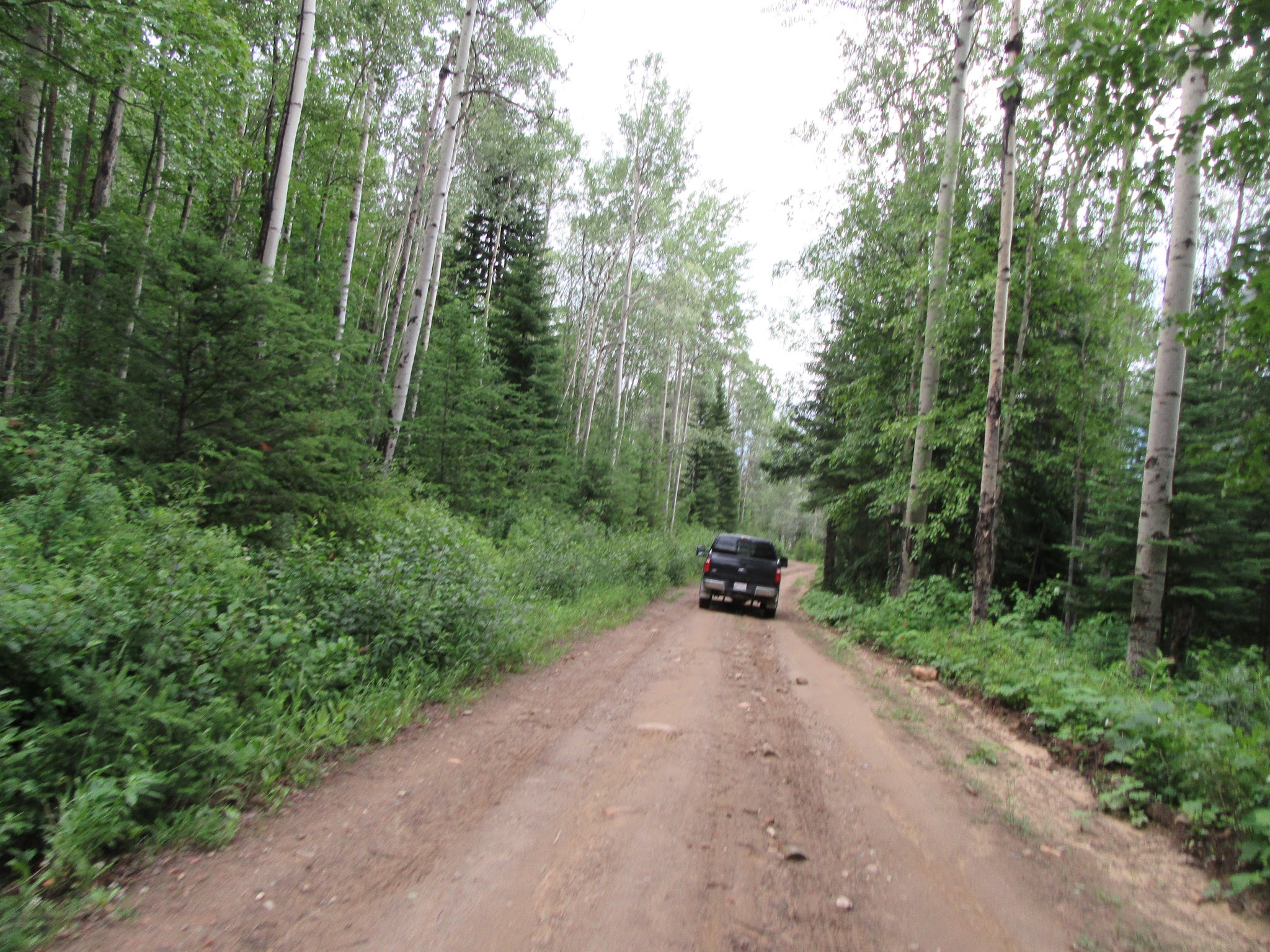
Cycling McBride Peak - dirt road with car       

 A rare sighting!                              

Recommended bike:  We recommend using a cross or mountain bike on this climb.  If you do use a road bike and are an decent climber, use a compact chainring and 32t cassette, or if you are young and an exceptional climber, you can likely get away with a compact chainring/28t cassette.

We love Canada:  We have special fondness for Canada as it lives up to its reputation as a proud country with extremely nice and generous citizens.  I have been saved by Canadian tourists riding up Mauna Loa short on water (they happily volunteered a litre of water and refused any form of payment), a very nice Canadian woman insisted on paying for my coffee at a gas station on the way to McBride because she felt bad I had to wait in line so long, and the only life we encountered on McBride Peak were two extremely helpful, generous and friendly mountain biker/campers who offered us food and drink.  Canada:  Go for the climbs, stay for the people!

​The McBride Visitor Center (250 569-3366 is incredibly informative and helpful if you have any questions about this road or McBride.  We stayed in McBride on our trip and this is a very quaint and hospitable town -