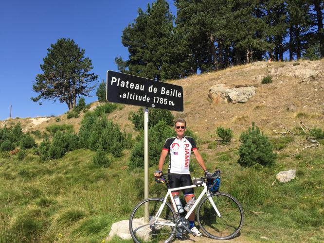
Climb Summary
![]()
Image from Commons.wikimedia.org
The climb begins in Château-Verdun (pop. 54, 2008) which is a small village in Haute-Ariège Canton in the French Pyrenees in southeastern France. Of The Plateau, Wikipedia notes:
“For a long time, this plateau was only a place of livestock, especially cattle. It has recently become the site of an important winter sports resort of the Pyrenees, mainly dedicated to the practice of cross-country skiing, with tracks between 1,650 and 2,000 metres (5,410 and 6,560 ft) altitude. The ski station is located between Tarascon-sur-Ariège and Ax-les-Thermes, close to the Spanish border, and above the communes of Les Cabannes, Albiès and Vèbre. Road access to the plateau (the D522) starts from Les Cabannes. Moreover, the Plateau de Beille is a crossing point of the GR 10 hiking trail that crosses the Pyrenees from east to west.” Wikipedia
![]()
Steepest kilometer begins at km 9 (11.1%)
Tour de France
This climb has been featured in the Tour de France 6 times from 1998 to 2015 (as of 2017), 5 of those 6 as summit finishes.
PJAMM will document this climb in September, 2018

 We've partnered with Sherpa-Map.com to bring you the best route planning tool. With a PRO Membership you can use this climb as a reference when creating your route.

