![Cycling The Wall of Talla, Scotland panoramic view of green hillsides, blue sky, pond in distance]()
Cycling The Wall of Talla, Scotland
Ride 1.8 kilometers gaining 153 meters at 8.7% average grade.
Before our second cycling trip to the UK, we asked Simon Warren of 100 Greatest Cycling Climbs, UK for his choices of most epic and hardest climbs in England, Wales, Scotland, and the UK. Simon lists The Wall of Talla as the third most epic and eighth hardest road bike climb in Scotland, and the eighth most epic in all the United Kingdom - it’s the Real Deal!
![Cycling The Wall of Talla, Scotland photo collage shows road sign warning of 20% gradient, peaceful green hillsides and country road]()
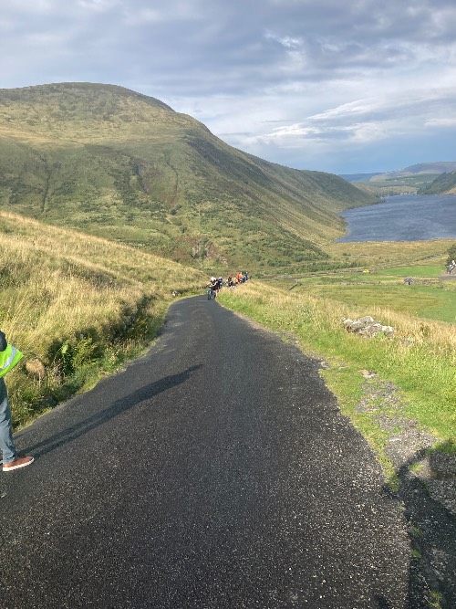
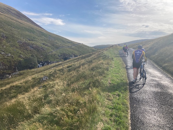
This is a quiet, peaceful, and very scenic bike climb.
![Cycling The Wall of Talla, Scotland bike parked against road sign warning of curve in road, large green hillside behind]()
Climb begins where the road kicks up just before the 90 degree right turn along the Games Hope Burn, just south of the southern end of Talla Reservoir.
![Cycling The Wall of Talla, Scotland photo collage of Talla Reservoir]()
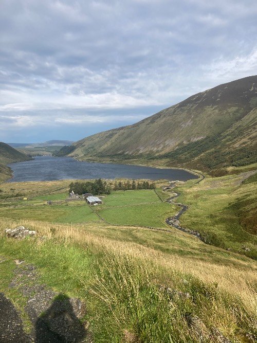
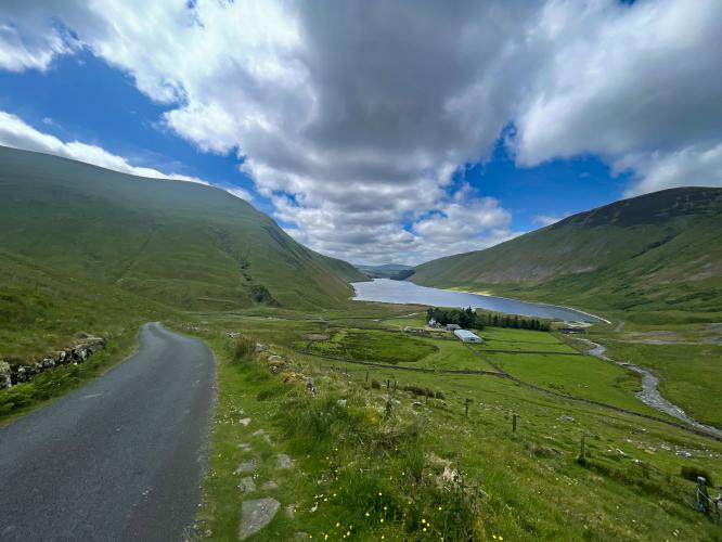
The Wall of Talla climb begins adjacent to the magnificent Talla Reservoir in the Scottish Borders council area, only 60 kilometers south of Edinburgh. The Talla Reservoir was opened in 1899 to supply Edinburgh with water. You’ll find a few hiking trails in the surrounding area and one old homestead which looks to still be lived in.
![Cycling The Wall of Talla, Scotland Talla River]()
The Talla River feeds the Talla Reservoir from the south.
![Cycling The Wall of Talla, Scotland photo collage shows views of Talla River and surrounding green hillsides]()
If you are fortunate enough to have dry weather, you are likely to run into a few brave tourists in the narrow road that parallels the reservoir. Dry weather is far from a given in this, or any part, of the United Kingdom though. As they say, “one doesn’t travel to Scotland for the weather.” Fortunately, I lucked out weather-wise on the day that I rode The Wall of Talla in early July.
![Cycling The Wall of Talla, Scotland photo collage includes aerial drone view of PJAMM Cyclist riding the Wall of Talla climb]()
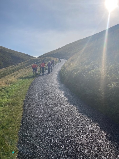
The average grade of 8.7% percent is slightly deceptive as the opening stretch of the climb is a true wall at over 15%. The Talla reservoir will be below you on your left as you climb (assuming you’re not “paper-boying” it) and you’ll have the best views in the house.
![Cycling The Wall of Talla, Scotland aerial drone view shows PJAMM Cyclist crossing over Talla Water]()
We cross the Talla Water one kilometer up the climb from the start.
The midpoint of the climb is marked by an old stone bridge. Having dealt with the initial wall of the climb, the gradients ease up to the finish point past the bridge. Once across the bridge, the Talla Reservoir will no longer be in view.
![Cycling The Wall of Talla, Scotland aerial drone view shows round stone livestock pen, green pastureland]()
Pass a stone round livestock pen on your left 200 meters from the start.
The summit point, at an elevation of 1,492 feet, is unmarked. There is a cattle guard and livestock gate which makes for a good summit marker and turnaround point. Take care on this descent as the cars, although infrequent, take up every inch of road.
PJAMM Cycling’s Brad Butterfield, after riding the climb in the July of 2022, said:
The Wall of Talla is tucked away in the remote hills of southern Scotland near a number of small lakes. The scenery here is spectacular and would in many countries be considered a National Park. But this is Scotland and lakes are a dime a dozen, and you’ll likely have the views to enjoy all alone. Parking was easy enough at the base of the climb on a dirt pullout that looks to be used by hikers (there is a nature trail nearby). The climb rises above the lake for the first half, then you’ll cross a bridge that takes you behind the hill and to the summit for the climb. Double digit grades make the climb tough, but the scenery is so breathtaking that you’ll likely not even notice the tough grades. This was my first Scottish climb of my 2022 trip in the UK and really got me excited to explore the rest of the country.
![]()
That’s a wrap!!
 We've partnered with Sherpa-Map.com to bring you the best route planning tool. With a PRO Membership you can use this climb as a reference when creating your route.
