Page Contributor(s): Photo: A.S.O./Charly López
INTRO
A 9.4 km individual time trial through the streets of Monaco opens the 2026 Vuelta a España on Saturday, August 22 — the race's first-ever Grand Départ in the principality. Riders start on the ramp at Place du Casino, loop past the Rocher through two illuminated tunnels, along Avenue Princesse Grace and the harbor, and finish back in Monaco itself.
It's a technical, corner-heavy course rather than a pure power test, and it hands out the race's first red jersey before the peloton pushes west into France for Stage 2. Monaco previously hosted the opening time trial of the 2009 Tour de France, won by Fabian Cancellara.
PLAN YOUR ROUTE
 We've partnered with Sherpa-Map.com to bring you the best route planning tool. With a PRO Membership you can use this climb as a reference when creating your route.
 Stage 1 is essentially flat and rolling — there are no categorized climbs. PJAMM's own elevation data shows a net average grade of -0.41% (start at 164 ft, peak at 281 ft, finish at 33 ft near the harbor), with the handful of short rises and dips through the Rocher and Fontvieille tunnels mattering far more for cornering speed than for climbing legs.
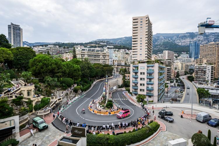
Expect a technical time-trial effort rather than a lung-buster: tight roundabouts, tunnel entries/exits, and a couple of hairpin-style corners around the Rocher will do more to slow riders down than any gradient on this course.
The route runs entirely on closed city streets through Monte-Carlo, La Condamine, and Fontvieille — Boulevard des Moulins, Avenue Princesse Grace, Boulevard Louis II, and two illuminated tunnels, with a run past the roundabout at Rocher Palais to the finish.
Outside of race day these are normal (narrow, traffic-heavy) Monégasque city streets — expect tight lanes, frequent roundabouts, and some of the busiest traffic and most expensive real estate in Europe. Parking in Monaco is notoriously scarce and pricey; if you're visiting to watch or ride the route, use one of the principality's public parking garages (e.g., Parking des Pêcheurs near the harbor) or arrive on foot/by train from Nice rather than trying to park streetside.
At under 10 km, this is a short, sharp effort — racers will be on time-trial bikes and skinsuits, but for cycling tourists riding the route afterward, a standard road bike is all you need. No climbing gears required.
Given the short distance, hydration isn't a major concern for this stage specifically, but August temperatures in Monaco regularly reach the high 70s-80s°F (mid-to-high 20s°C), so bring water if you're riding at midday or combining the loop with more of the coast.
Monaco in August is peak tourist season — book accommodation well ahead and expect Grand Prix-level crowds and pricing packed into a very small principality. The best public vantage points for the time trial are around Place du Casino near the start and along the harbor near the finish.
Combine a visit with a stroll through Le Rocher (Prince's Palace, Oceanographic Museum) or a walk along Avenue Princesse Grace. If you're driving in, expect the whole road network to be affected on race day — check local traffic advisories before you go, and consider arriving by train from Nice to skip the parking hassle entirely.
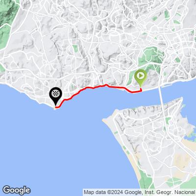
ROUTE MAP