16.9
PDI
5.9 mi
DISTANCE
2,471 ft
GAINED
7.9 %
AVG. GRADE
FULL CLIMB STATS
Page Contributor(s): Ard Oostra, Montreux,Switzerland
INTRO
On the second-to-last day of the 2023 Tour, the crowds on the Petit Ballon were so thick and so loud for Thibaut Pinot, in his final Tour, that the bend near the top is now known as the virage Pinot - and he led the race over the col. It's a good road for a send-off: narrow, steep and a bit battered, straight up out of the Munster valley through the forest to open pastures and farm inns below the Petit Ballon.
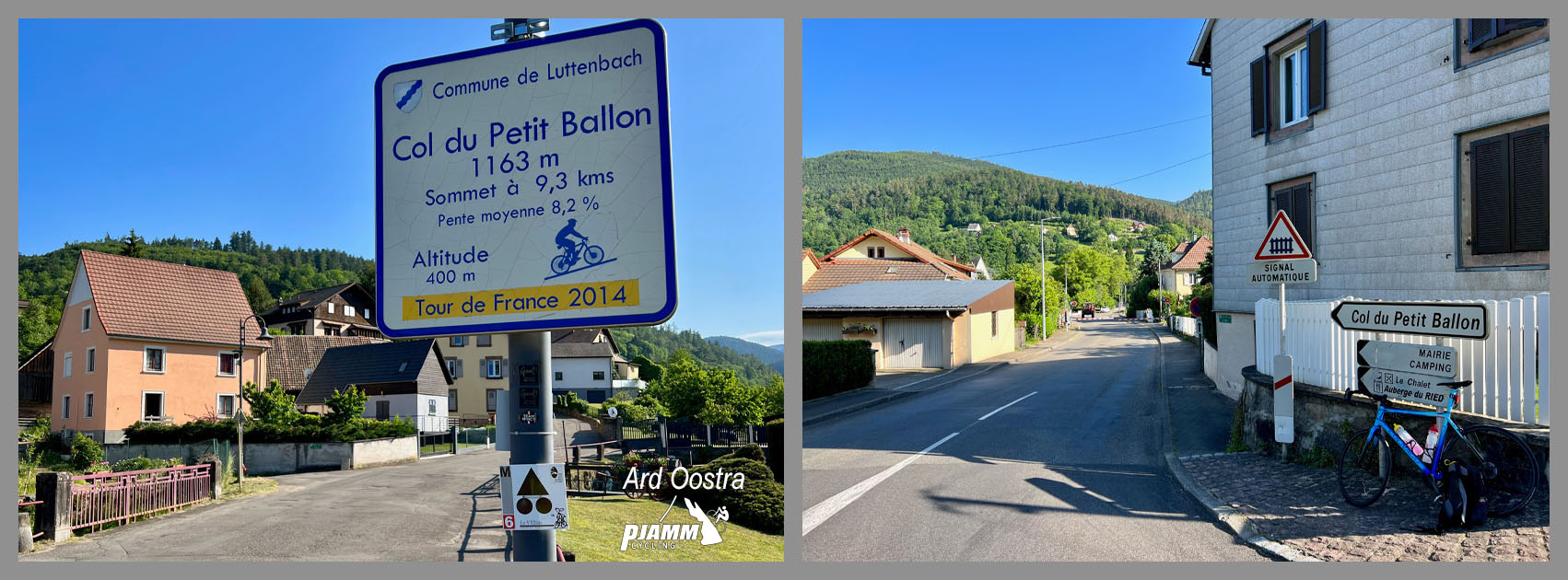
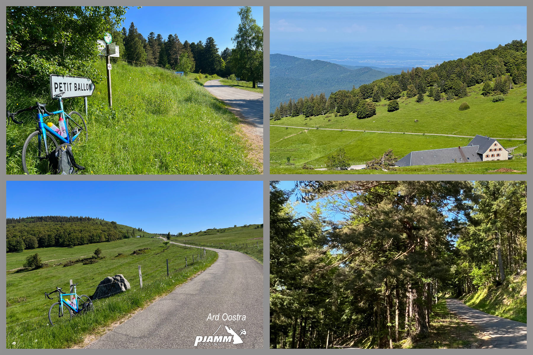
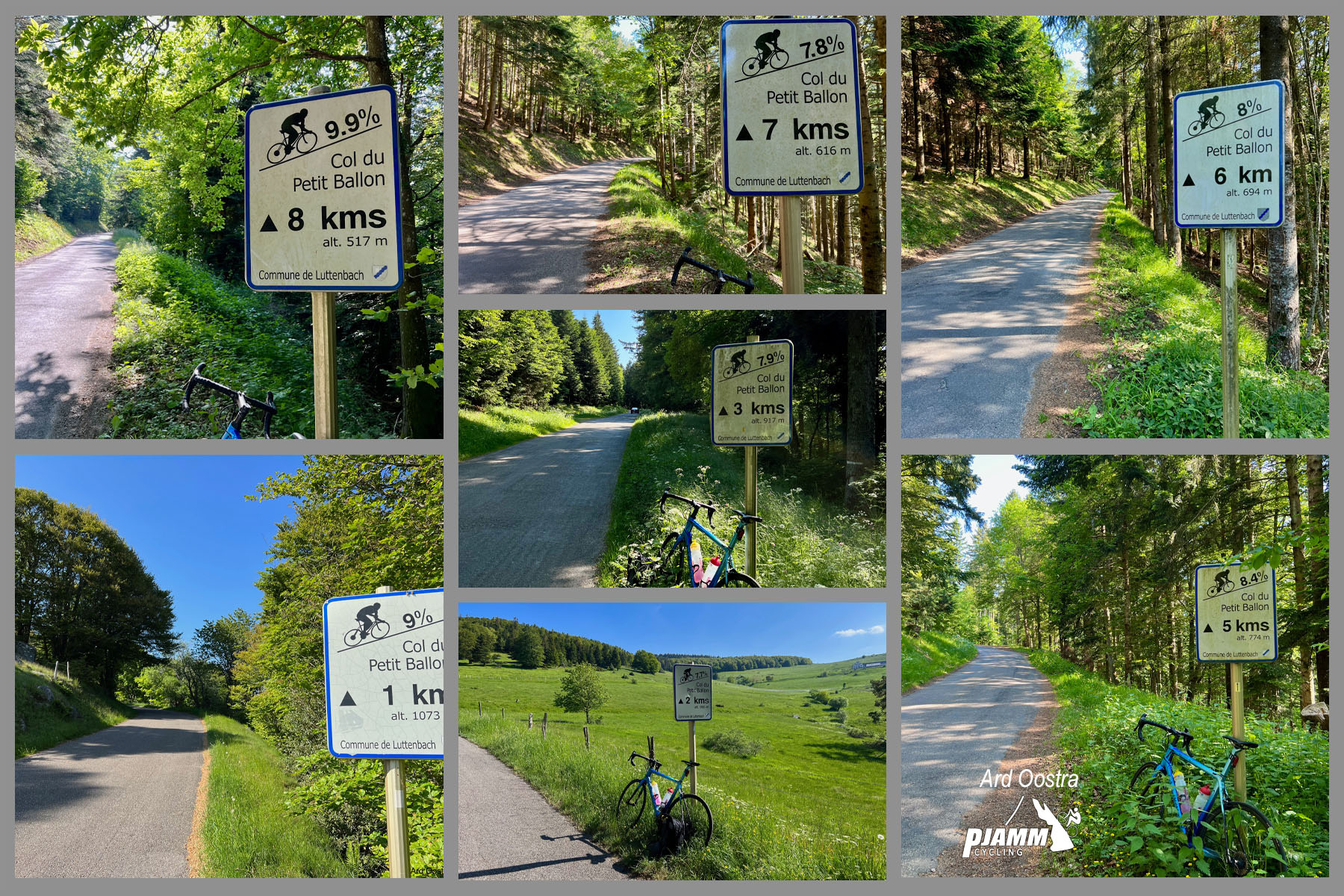
From Luttenbach-près-Munster it's 9.5 km (5.9 mi) at 7.9%, gaining 753 m (2471 ft) to the col at 1163 m. There's no warm-up: the first 4 km average 8.5% on long straights through the trees, with ramps that feel steeper than the numbers. Around the Ferme-Auberge du Ried, about 6 km up, the forest opens and the grade drops toward 6% for a while, then the road kicks back to more than 9% before the last stretch across pasture, cows on both sides, past the Kahlenwasen farm inn to the top.
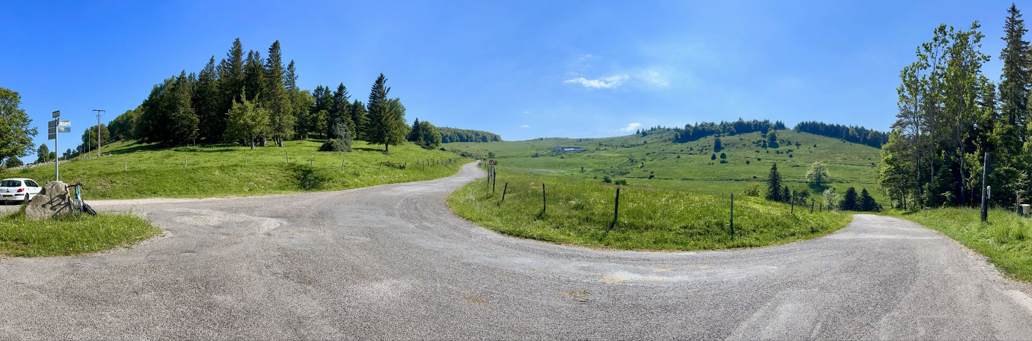
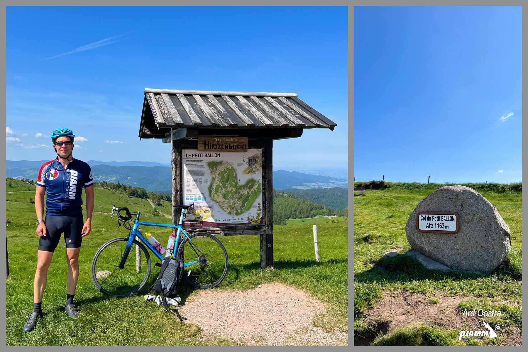
The surface is what riders remember. There aren't many potholes, but the tarmac is lumpy and patched, so it chatters under you even on the way up and makes the descent a two-hands-on-the-bars job. The col is a grassy saddle with a small car park; the Petit Ballon summit itself (1272 m) is a walk above it. The Tour also crossed here in 2014, when Alberto Contador crashed out of the race, and the Tour de France Femmes came through in 2022.
PLAN YOUR ROUTE
 We've partnered with Sherpa-Map.com to bring you the best route planning tool. With a PRO Membership you can use this climb as a reference when creating your route.
From 404 m (1325 ft) in Luttenbach-près-Munster to the col, the climb covers 9.5 km (5.9 mi) and gains 753 m (2471 ft) at an average of 7.9%. The steepest kilometer averages 9.3%, the steepest 2 km 9.1% and the steepest 5 km 8.2%.
Km 0-4: 8.5%, straight out of Luttenbach on the Route du Ried and into the forest - the longest hard stretch.
Km 4-7: 6.8%, easing as you approach the Ferme-Auberge du Ried (around km 6) and the trees open up.
Km 7-8: 9.4%, the steepest kilometer, up to the Buchwald junction.
Km 8-9.5: 7.6%, across open pasture past the Kahlenwasen farm inn to the col at 1163 m (3816 ft).
Roadway: Paved to the col, but narrow, without a center line, and rough - riders' reports through 2023 describe a bumpy, patched surface with gravel in places, and the descent back to Luttenbach draws the most complaints. Take the corners slowly on the way down. Snow covers the upper road in winter, and the farm inns close from November to spring, so think of this as a May-to-October climb.
Traffic: Light. Most cars on the road are heading to the farm inns, so you'll see more of them around lunchtime and on summer weekends, and hardly any early in the morning.
Parking: Luttenbach is a small village with limited parking, so many riders start from Munster, about 2 km away, which has more room and a train station on the line from Colmar. In Luttenbach there's some street-side parking near the start (map). At the top, the free Kahler Wasen car park is right by the col (map).
Gear: It's steep from the first turn of the pedals, so warm up on the way over from Munster and bring a 34x30. Check your brakes and tires before the descent - a few riders prefer to go down the other side, toward Wasserbourg and Wihr-au-Val, rather than back down this road.
Provisions: Munster and Luttenbach are the places to top up water and food. On the climb, the Ferme-Auberge du Ried (around km 6), the Buchwald farm inn just off the road near km 7.7 and the Kahlenwasen (km 8.4) serve food and drinks, and the Rothenbrunnen farm inn is a few hundred meters from the col. Most keep a weekly closing day and shut for the winter, so check before you count on lunch.
Before heading out on any cycling adventure check out our Things to Bring on a Cycling Trip and use our interactive check list to ensure you don't forget anything.
The farm inns are the reason to linger. A ferme-auberge is a working mountain farm that feeds visitors, and the dish to order is the repas marcaire, the cowherds' meal: a meat pie (the tourte de la vallée), roïgabrageldi potatoes slow-cooked with onions and bacon, Munster cheese and a dessert of fresh cheese with kirsch. The Kahlenwasen, just below the col, has been run by the Lochert family for three decades, with views to the Black Forest and simple guest rooms if you want to stay the night.
Munster is the natural base: a small town at the head of the valley, with the Colmar train, the cheese that shares its name, and a handful of other Vosges climbs within reach. The Col de la Schlucht and the Col du Platzerwasel both start nearby, and you can follow the 2023 Tour's route over the Platzerwasel to Le Markstein on the Route des Crêtes. Our Grand Ballon (Lautenbach; Markstein) page covers the Lauch valley on the other side of the ridge.
ROUTE MAP

MEMBER RATING
CURRENT WEATHER
PJAMM TRIPS ADVENTURE STARTER BUNDLES
Check out PJAMM Adventure's prepackaged (self-guided) cycling trips. They will help you plan, document and conquer your next adventure.
NEARBY CLIMBS (0) RADIAL PROXIMITY
FROM No Climbs Found
MEMBER REVIEWS & COMMENTS
Let us know what you thought of this climb. Signup for our FREE membership to write a review or post a comment.
Already have an account?
LOG IN HERE
carlinguernsey
This climb is more difficult on paper than its neighbor the Platzerwasel, but I liked it better. It has some steep ramps at the beginning and at the end. Much of it is a fairly steady gradient through a forest. Once you leave the forest with about 2k to go, the climb opens up to farmland and great views. At this point, you can see most of the final stretch ahead of you. The cars are mostly people going walking, so the traffic should be lighter on a weekday. There is some food/drinks about 1k from the top. The descent on this side can be fast on a bad road.