49.2
PDI
9.7 mi
DISTANCE
5,483 ft
GAINED
10.6 %
AVG. GRADE
FULL CLIMB STATS
INTRO
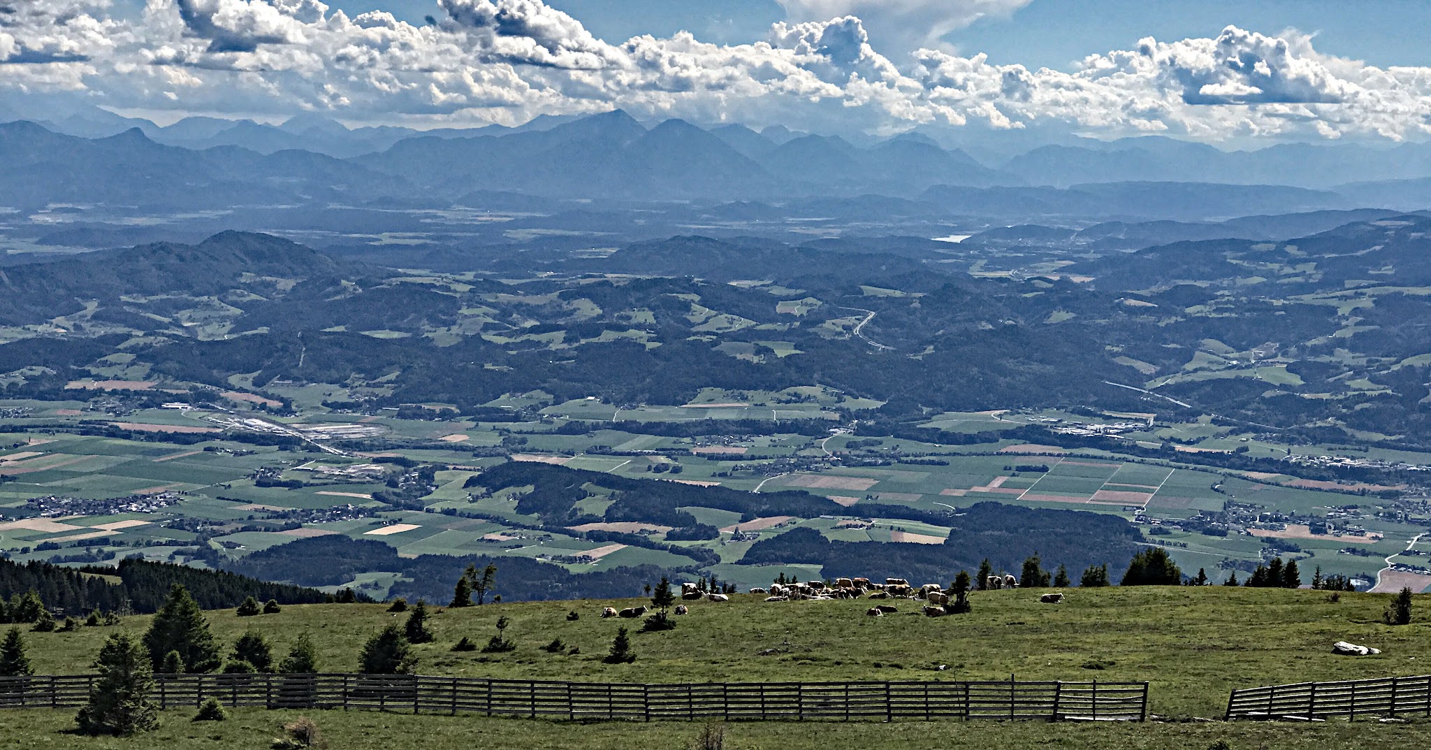
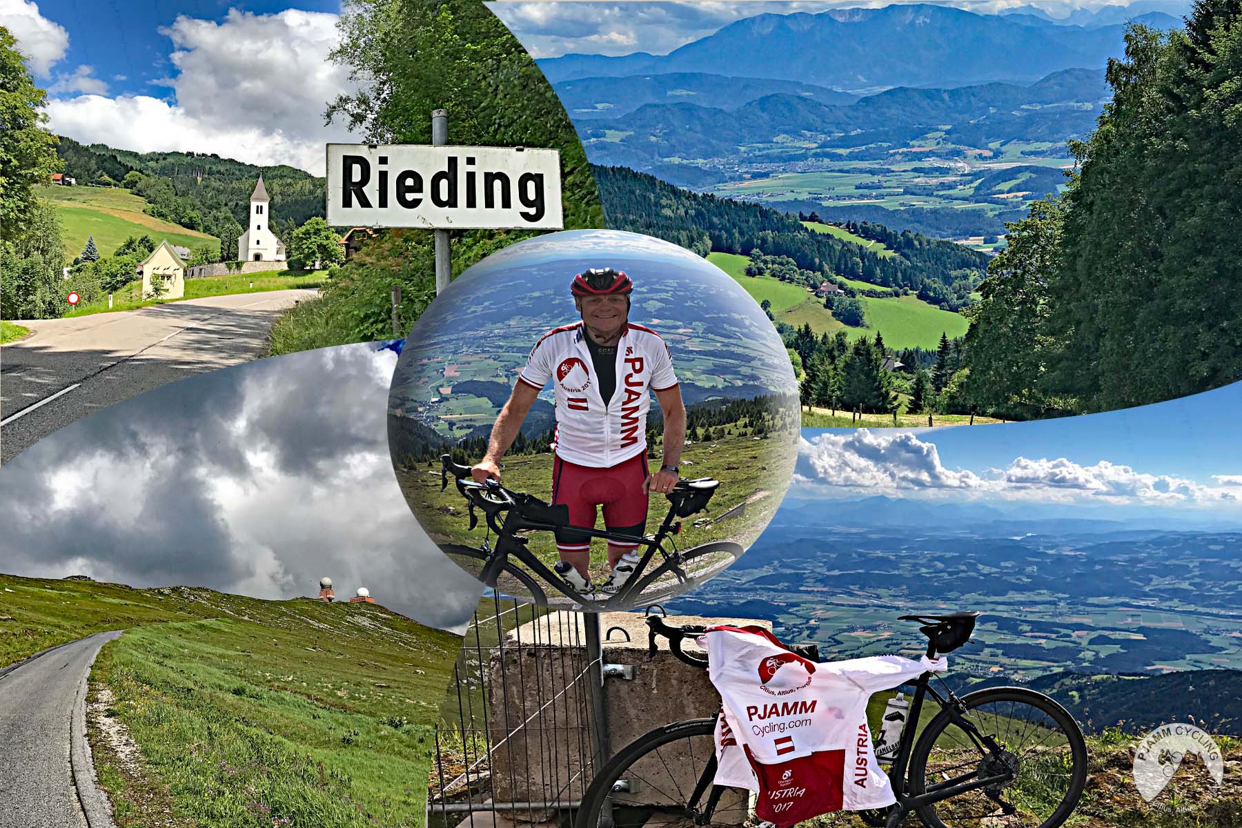
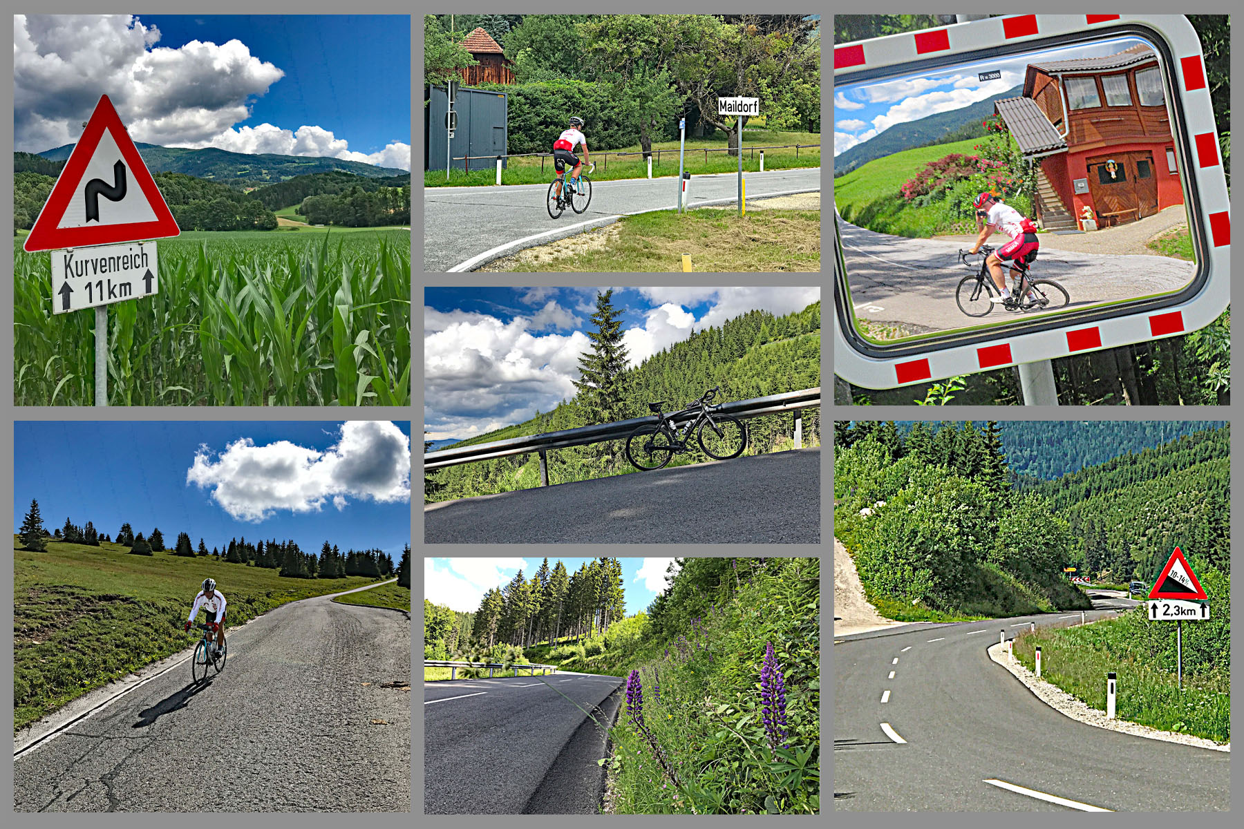
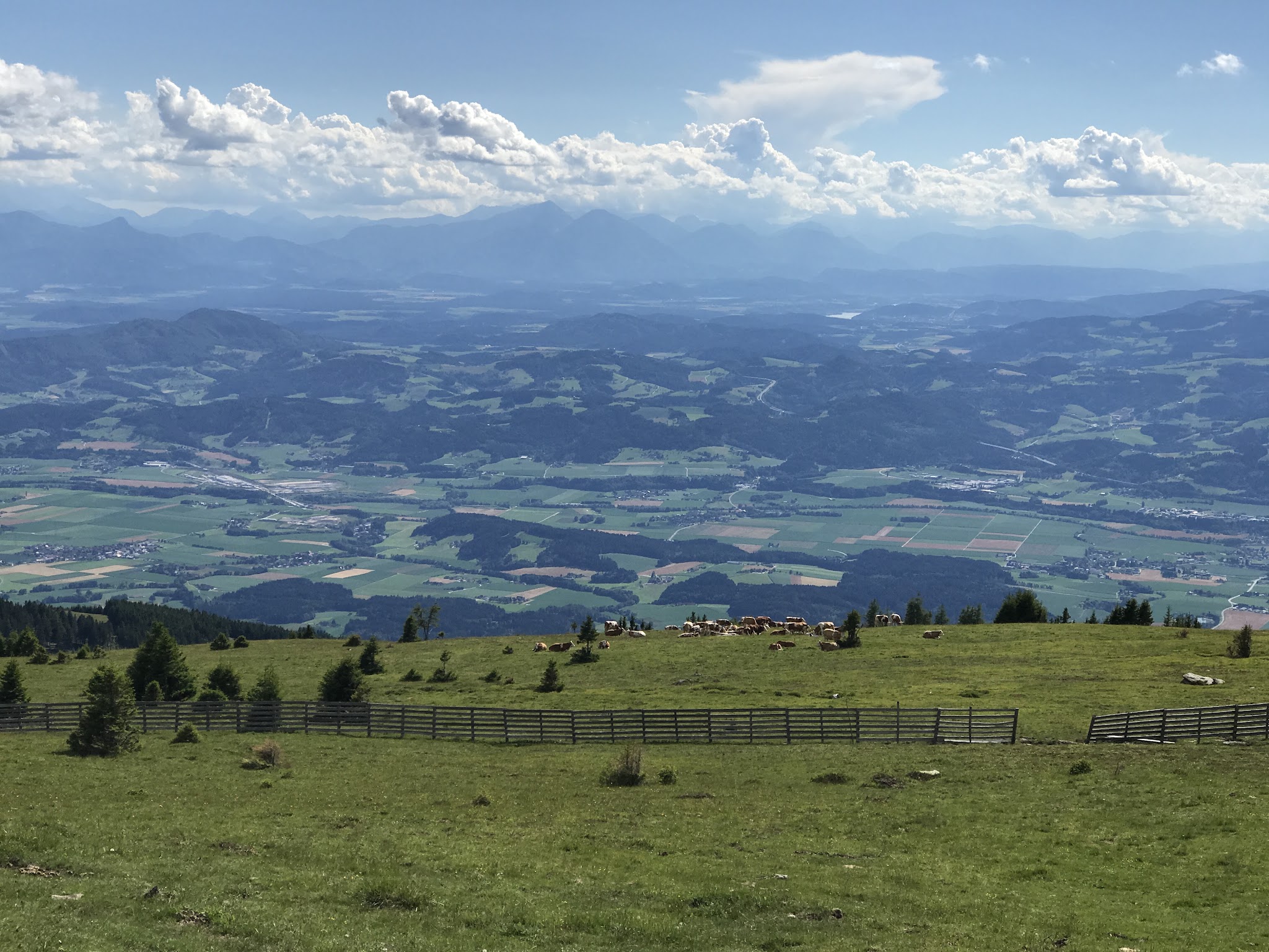
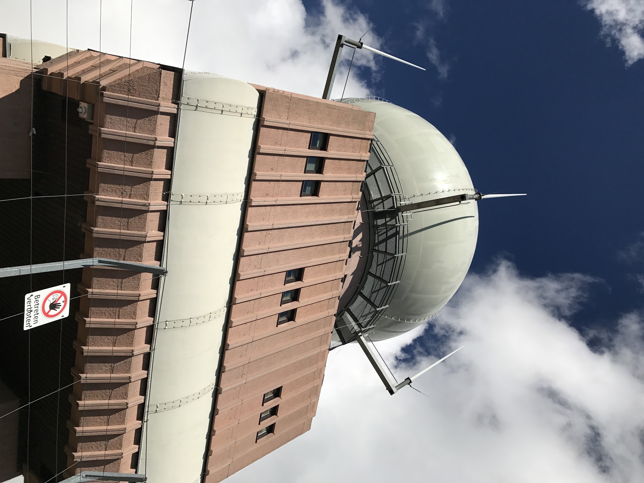
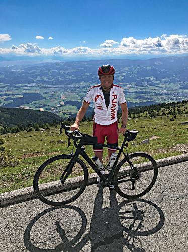
At 9.7 miles with an average grade of 10.6%, Grosser Speikkogel is the hardest bike climb in Austria and currently ranks #44 in the world. The road climbs the Koralpe range in Kärnten, finishing near an Austrian military radar installation with sweeping views back over the Lavanttal. The word grosser means "great" in German, and this is a genuinely great, tough climb.
The lower two-thirds of the climb doubles as the access road for the Koralpe ski resort, giving way to open, exposed switchbacks in the upper section where the grade tightens up. It's one of Austria's classic "brute" climbs - unrelenting rather than technical, with no long flat sections to recover on.
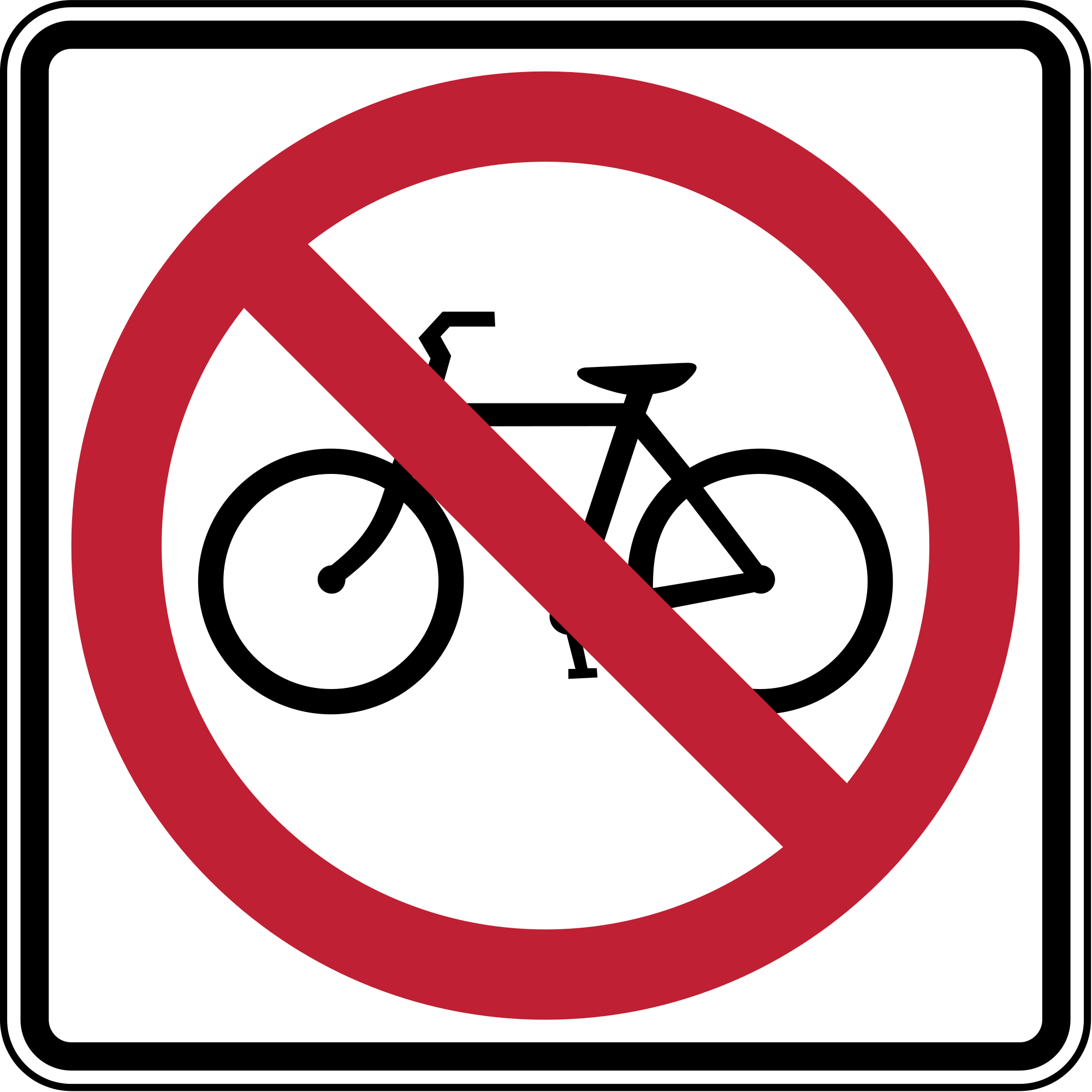
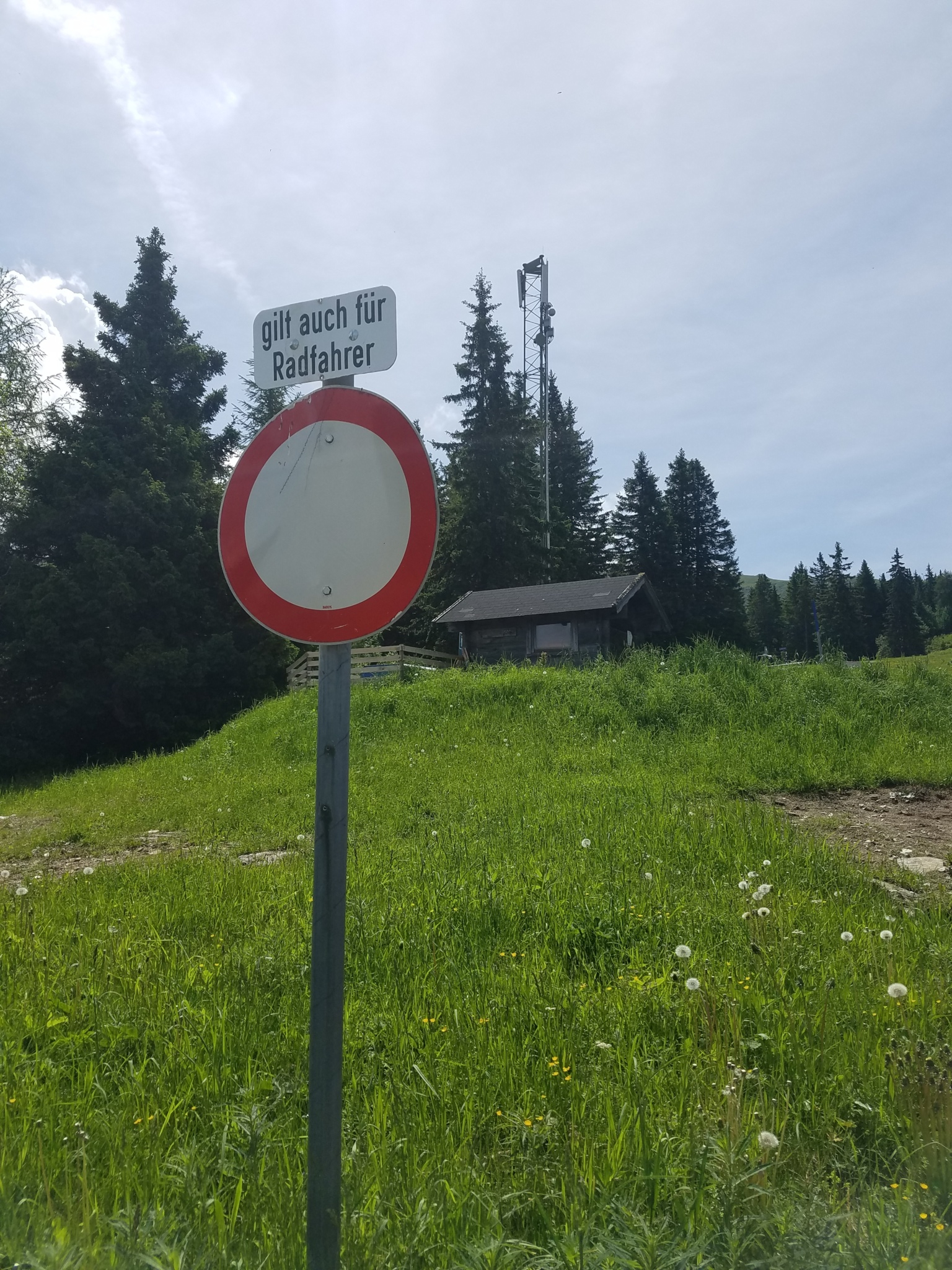
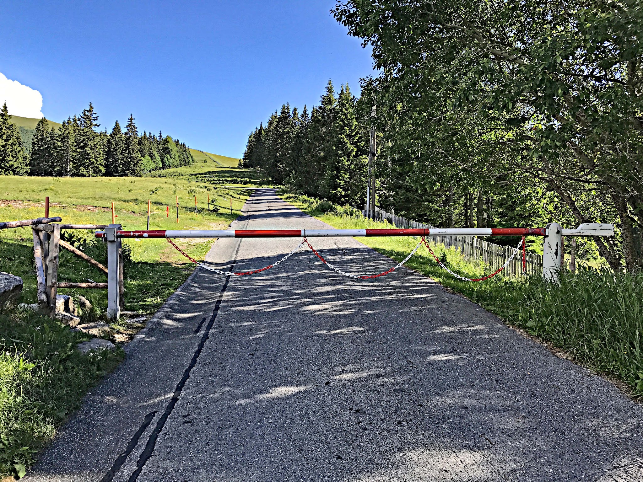
A gate near kilometer 11 restricts the final roughly 4.4 km (2.7 miles) to all vehicle traffic, cyclists included, though enforcement is inconsistent and many riders continue past it, especially on weekends. Check current conditions before planning a trip built entirely around reaching the true summit.
PLAN YOUR ROUTE
 We've partnered with Sherpa-Map.com to bring you the best route planning tool. With a PRO Membership you can use this climb as a reference when creating your route.
 10.6% average grade (11.1% climb only). 32% of the climb is at 10-15% grade, 15% is at 15-20%, and a brutal 7% is at ≥20%. The steepest 500 meters is 19.7% and steepest kilometer 14.5%.
See more details and tools regarding this climb's grade via the “Profile Tool” button.
Roadway: The road is paved and in good condition for the entire climb - two lanes to about kilometer 11, then narrowing to one lane for the final 4.5 kilometers as it climbs into the ski area. A gate near kilometer 11 is posted as closed to all traffic, including bicycles - some locals say the sign is mainly there to protect property owners and that it's used unofficially on weekends, but ride past it at your own risk.
Traffic: Light for the lower two-thirds, which doubles as the access road to the Koralpe ski resort. Essentially none past the gate, since it's officially closed to the public.
Parking: A small pull-off at the start of the climb where it meets Gemmersdorfer Straße - Map; Street View. There's no dedicated lot, so arrive early on summer weekends when hikers are also parking nearby.
Provisions: The Koralpenhaus, a mountain lodge at about 1,966m near the Koralpe ski area, is the last realistic stop for food and water before the closed upper section - check ahead that it's open, since hours vary by season. There's nothing beyond that point.
Gear: Nothing technical is required - it's a straightforward paved climb - but bring layers for the exposed upper switchbacks, where wind picks up noticeably above treeline.
Before heading out on any cycling adventure check out our Things to Bring on a Cycling Trip and use our interactive check list to ensure you don't forget anything.
Grosser Speikkogel pairs well with Austria's other Kärnten-region climbs if you're basing yourself in Wolfsberg or the Lavanttal. Check conditions at the top before you go with our Weather tool, since the summit sits well above 2,000 meters and conditions can differ sharply from the valley floor.
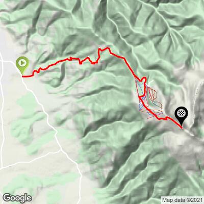
ROUTE MAP
MEMBER RATING
CURRENT WEATHER
PJAMM TRIPS ADVENTURE STARTER BUNDLES
Check out PJAMM Adventure's prepackaged (self-guided) cycling trips. They will help you plan, document and conquer your next adventure.
NEARBY CLIMBS (0) RADIAL PROXIMITY
FROM No Climbs Found
MEMBER REVIEWS & COMMENTS
Let us know what you thought of this climb. Signup for our FREE membership to write a review or post a comment.
Already have an account?
LOG IN HERE