30.8
PDI
31.4 mi
DISTANCE
6,900 ft
GAINED
3.8 %
AVG. GRADE
FULL CLIMB STATS
Page Contributor(s): Lisa Irizarry and Matt Jiang, New York
INTRO
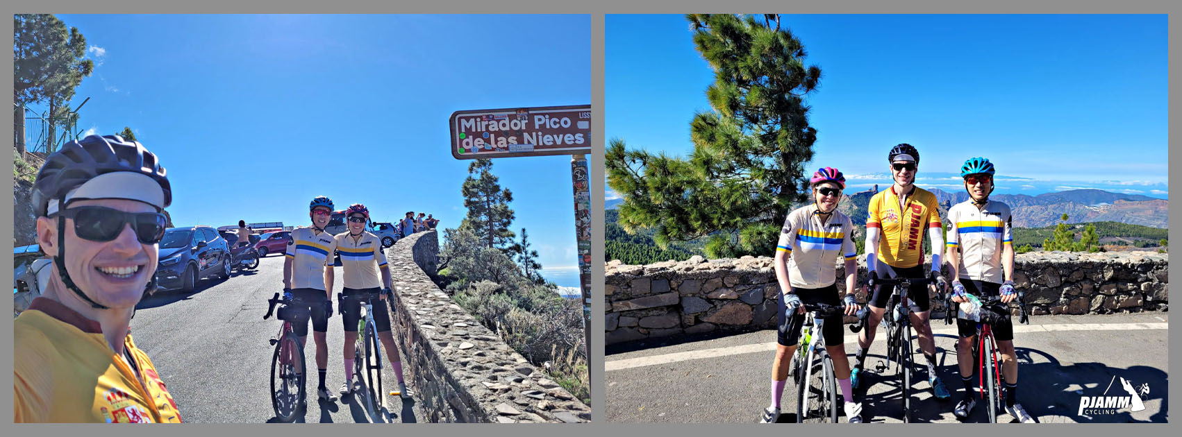
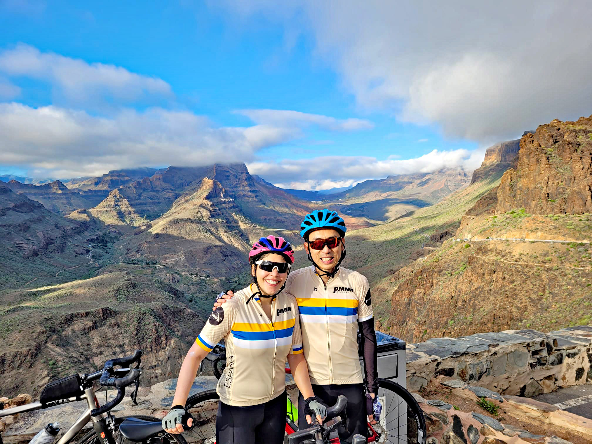
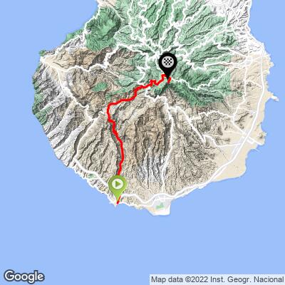
This route climbs from Gran Canaria's south coast near Arguineguín all the way to Pico de las Nieves, the island's true summit at 1,935 meters - 31.4 miles and 6,900 feet of gain at a 3.8% average grade. It's one of two main routes to the summit that start from the island's southern side, and the deceptively mild average grade hides a genuinely uneven climb: the steepest 100 yards touch 15.6%, and there's a full mile that averages 9.6%.
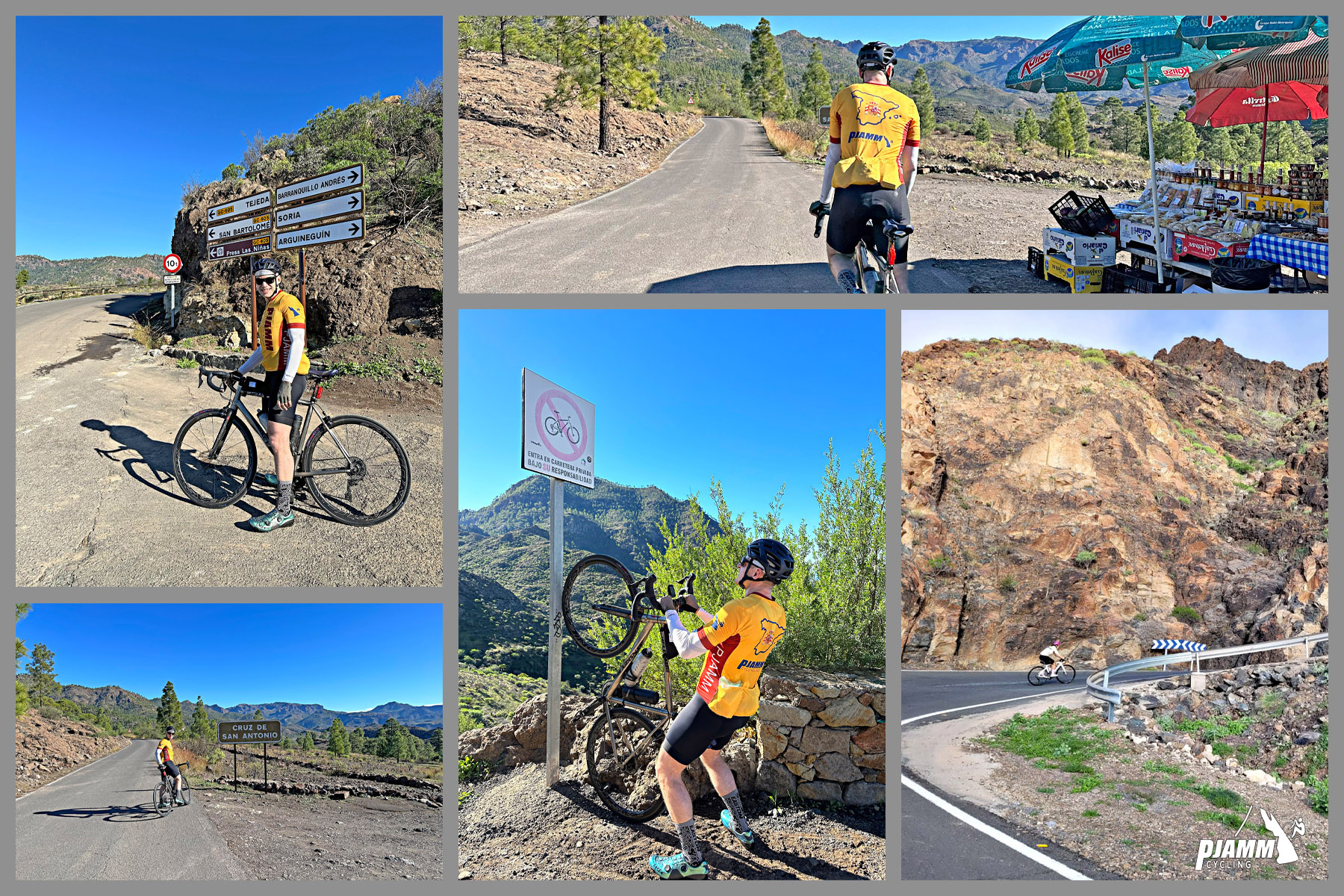
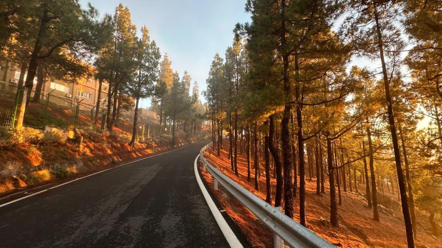
The ride crosses three distinct landscapes on the way up. It starts by following the dry, boulder-strewn Barranco de Arguineguín inland from the coast, then narrows through the hamlet of Las Filipinas onto a rough, single-lane stretch of mountain road - long marked with a warning sign about using it at your own risk - before the gradient eases through a scenic run of pine forest toward Ayacata. From there it joins the high plateau roads shared by several of Gran Canaria's other approaches to the summit for the final push past Roque Nublo to the top.
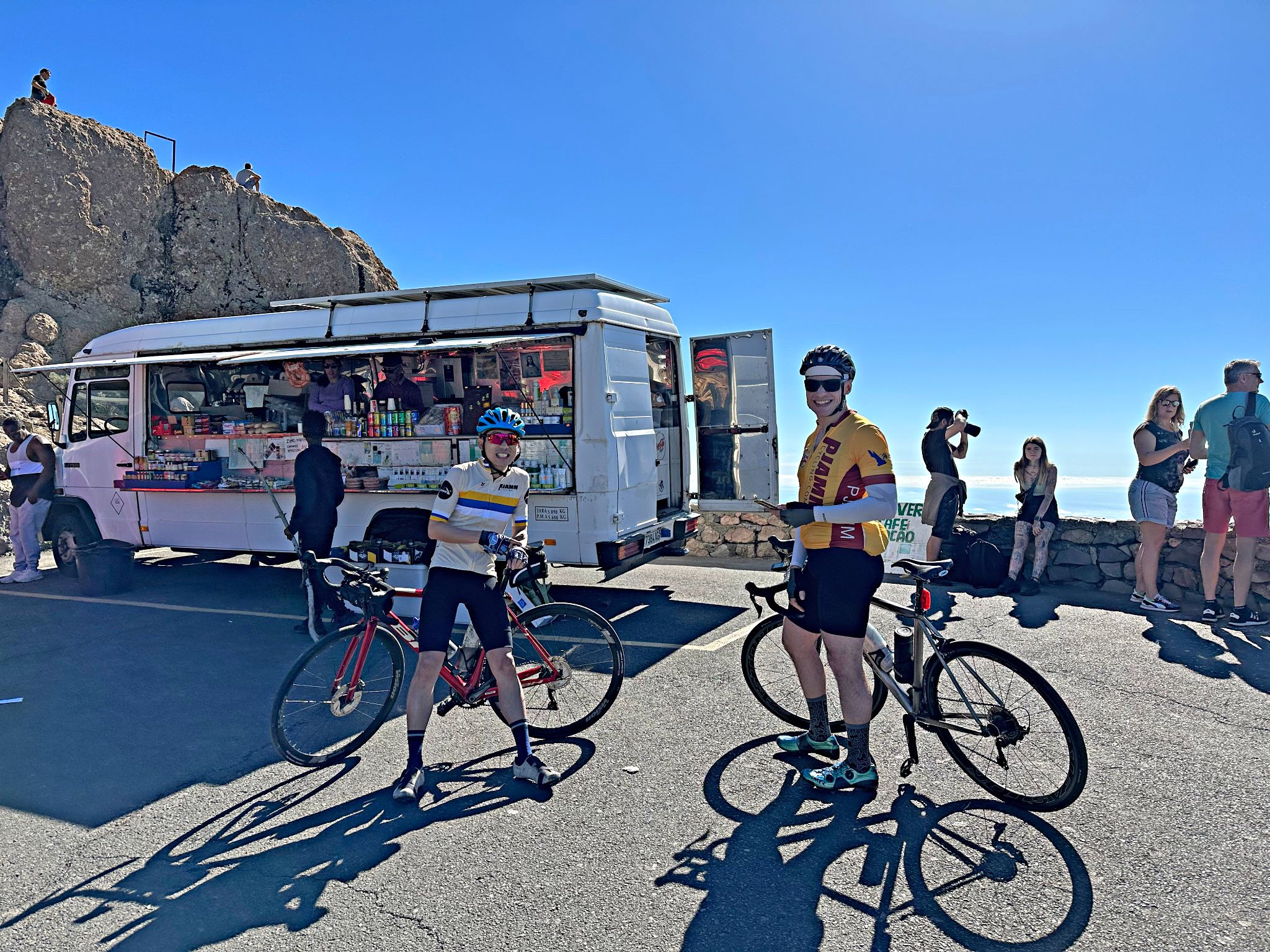
Pico de las Nieves' summit viewpoint is one of the most visited spots on the island, with sweeping views across most of Gran Canaria on a clear day. On a bike, this route earns that view - it's a proper full-day mountain ride, not a quick spin, and it's worth treating it that way.
PLAN YOUR ROUTE
 We've partnered with Sherpa-Map.com to bring you the best route planning tool. With a PRO Membership you can use this climb as a reference when creating your route.
 Overall this climb averages 3.8%, but that number hides how uneven the gradient really is. The steepest 100 yards touch 15.6%, the steepest quarter-mile 12.2%, and a full mile still averages 9.6%. The steepest sustained kilometer comes in at 10.5%. A long, gently rolling stretch up the Barranco de Arguineguín near the bottom, and a mellower run between Cruz de San Antonio and Ayacata higher up, are what pull the overall average back down despite the steep pitches around Las Filipinas and near the top.
Roadway: Paved the entire way, but surface quality varies a lot along the route. The lower miles on GC-505 through the Barranco de Arguineguín are in good shape. Past the hamlet of Las Filipinas the road narrows to one lane for a couple of miles, and the surface deteriorates noticeably - this stretch has long carried a sign warning that it's used at your own risk. Conditions improve again after the road rejoins a normal two-lane route near the GC-605 junction, and the final miles through the pine forest and up to the summit are smooth.
Traffic: Light for almost the entire climb, and essentially empty on the narrow stretch past Las Filipinas. Expect more vehicle traffic in the final couple of miles near the summit, where the viewpoint draws sightseers and tour vehicles as well as cyclists, especially on weekends.
Parking: Arguineguín, at the base of the climb, has plenty of roadside and public parking near the harbor and market area. Near the top, the Roque Nublo/Pico de las Nieves parking areas are small and shared by hikers headed to the Roque Nublo trailhead, so arrive early if you're driving up to start or finish a ride there.
Arguineguín, at the start, has supermarkets, bike shops, and restaurants - your last reliable stop before you head inland. After that there's very little until San Bartolomé de Tirajana or Ayacata, roughly two-thirds of the way up, so carry more water than you'd expect for a climb this length, especially on the narrow, shadeless stretch past Las Filipinas.
Before heading out on any cycling adventure check out our Things to Bring on a Cycling Trip and use our interactive check list to ensure you don't forget anything.
Arguineguín is a working fishing village turned resort town, with a Tuesday morning market along the seafront (produce, crafts, and clothing stalls) and fresh seafood at the harbor - a good pre- or post-ride stop that's a bit more low-key than the bigger resorts further south.
The narrow, rough stretch past Las Filipinas is the signature technical section of this route - go in expecting it rather than being surprised by it. Riders looking to extend a Gran Canaria cycling trip can also find a signed turnoff for the separate Soria climb near Las Filipinas, a shorter, steep side objective for another day.
Pico de las Nieves can be climbed from several different directions across the island - see our Routes in the Area tool to find the other approaches and plan which combination fits your trip.
ROUTE MAP
MEMBER RATING
CURRENT WEATHER
PJAMM TRIPS ADVENTURE STARTER BUNDLES
Check out PJAMM Adventure's prepackaged (self-guided) cycling trips. They will help you plan, document and conquer your next adventure.
NEARBY CLIMBS (0) RADIAL PROXIMITY
FROM No Climbs Found
MEMBER REVIEWS & COMMENTS
Let us know what you thought of this climb. Signup for our FREE membership to write a review or post a comment.
Already have an account?
LOG IN HERE