25.8
PDI
25.5 mi
DISTANCE
6,067 ft
GAINED
3.2 %
AVG. GRADE
FULL CLIMB STATS
INTRO
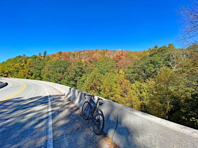
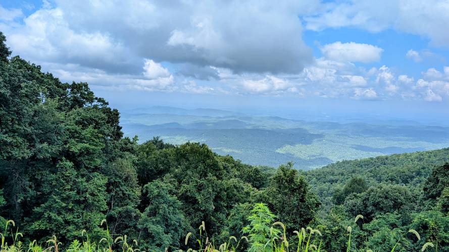
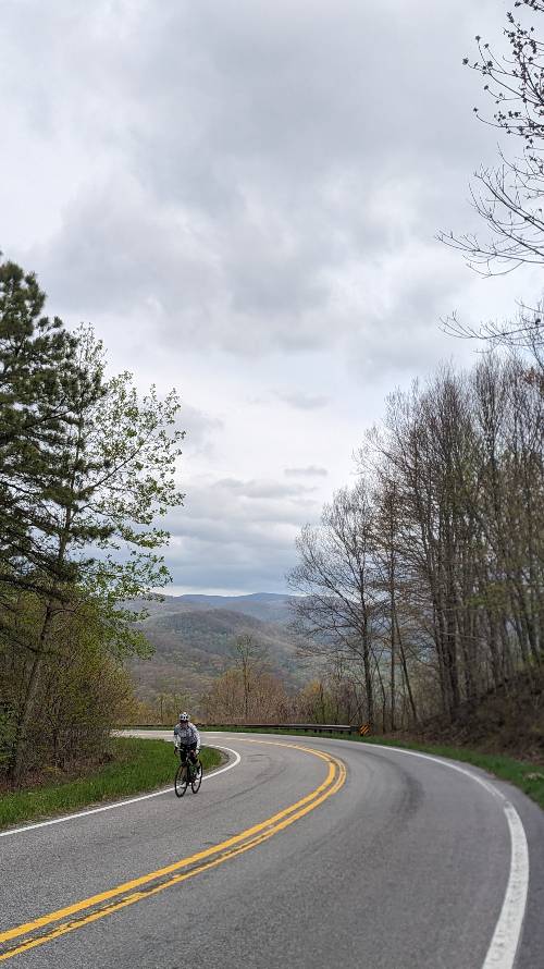
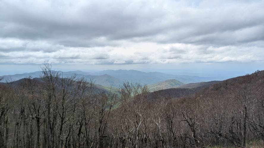
This is a beautiful ride along the lines of Shenandoah National Park/Skyline Drive and Blue Ridge Parkway. The climb begins in Tellico Plains, Tennessee (pop. ~909, elevation 876’). The climb is in the Green Mountains subrange of the Blue Ridge Mountains/Appalachian Mountains. This is more a scenic adventure than a standard bike climb, as it is along one of the great scenic byways of the US.
PLAN YOUR ROUTE
Average grade is 3% but jumps to 6.1% if we eliminate seven miles of descent from the gradient equation. 39% of the ride is descent, 34% is at 0-5% grade, and 23% is at 5-10%.
See more details and tools regarding this climb's grade via the “Profile Tool” button.
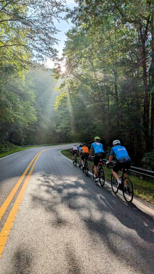
Roadway: Two lane scenic byway in excellent condition.
Traffic: Mild to moderate.
Parking: Park at the Cherohala Parkway Visitor Center in Tellico Plains near the beginning of the ride - Map; Street View.
Provisions: None on this long route. There are plenty of places to eat and get food and beverages in Tellico Plains at the start of the ride.
Before heading out on any cycling adventure check out our Things to Bring on a Cycling Trip and use our interactive check list to ensure you don't forget anything.
Consider doing this at an out-and-back ride - 81 miles and 11,240' of climbing - Map.
Use the “Routes in Area” button on the menu bar to see other bike climbs in this area.
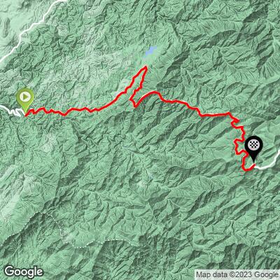
ROUTE MAP
MEMBER RATING
CURRENT WEATHER
PJAMM TRIPS ADVENTURE STARTER BUNDLES
Check out PJAMM Adventure's prepackaged (self-guided) cycling trips. They will help you plan, document and conquer your next adventure.
NEARBY CLIMBS (0) RADIAL PROXIMITY
FROM No Climbs Found
MEMBER REVIEWS & COMMENTS
Let us know what you thought of this climb. Signup for our FREE membership to write a review or post a comment.
Already have an account?
LOG IN HERE
jwilkin3
Great climb. Can be combined with the NC side for an epic O&B.
jwilkin3
This climb is a long journey with many beautiful views along the way. Much more difficult than the average gradient suggests, with many pitches above 10%, plus quite a bit of climbing on the way back "down." No facilities along the way, but two great cafes at the start town of Tellico Plains.
mbrothers
The climb does not have any options for water on it so plan accordingly.
It really feels like three separate climbs...section 1: Rolling uphill, section 2: steady sneaky steep climb. Section 3: steady climb at altitude.
The way back provides some steep sections that will challenge any dead legs. My bike computer estimated 2k of climbing on the way back, and included multiple extended sections of 8-12 percent...so pace the effort and reserves accordingly.
Rode this on a Tuesday and only saw motorcyclists...definitely a gem to climb and enjoy a forested mountainside.