28.7
PDI
12.1 mi
DISTANCE
4,470 ft
GAINED
7 %
AVG. GRADE
FULL CLIMB STATS
Page Contributor(s): Helmuth Dekkers, Netherlaneds.
INTRO
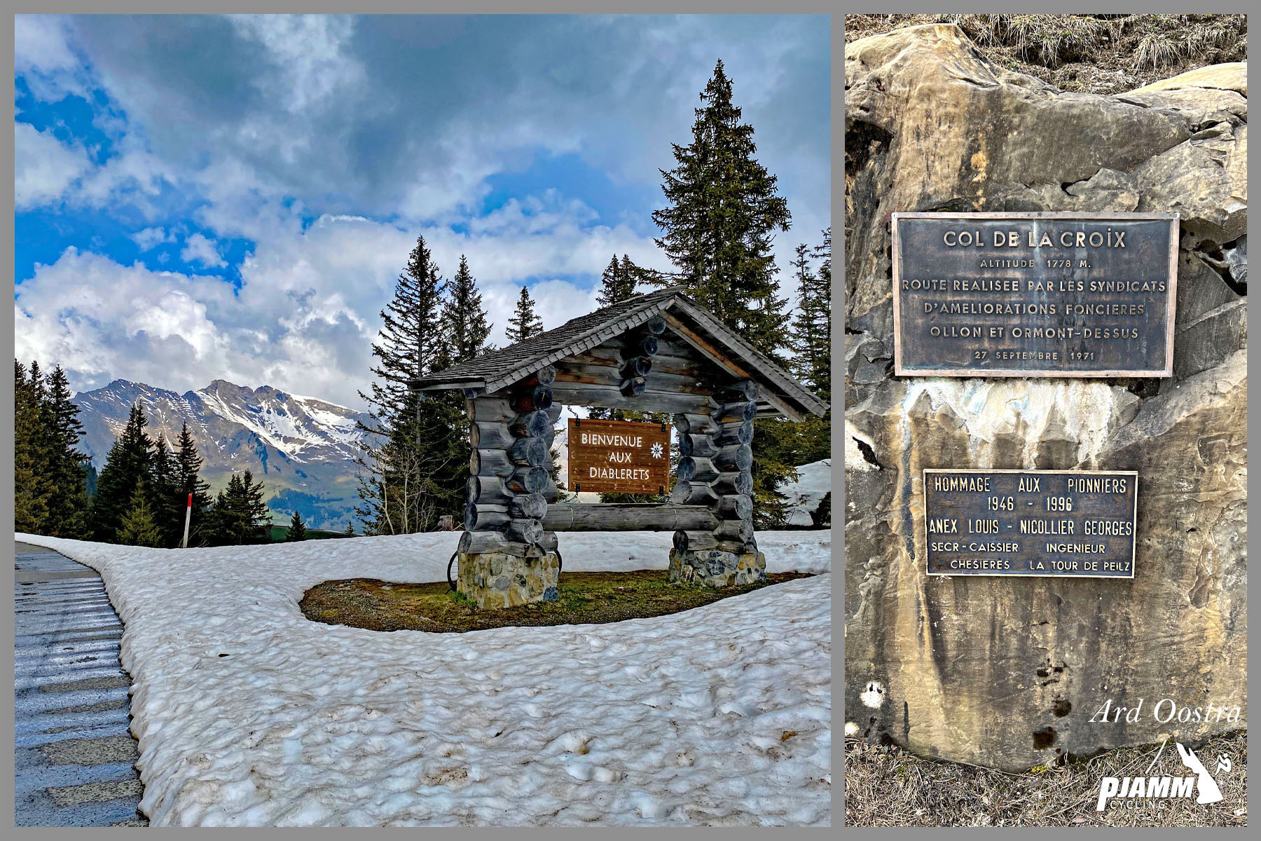
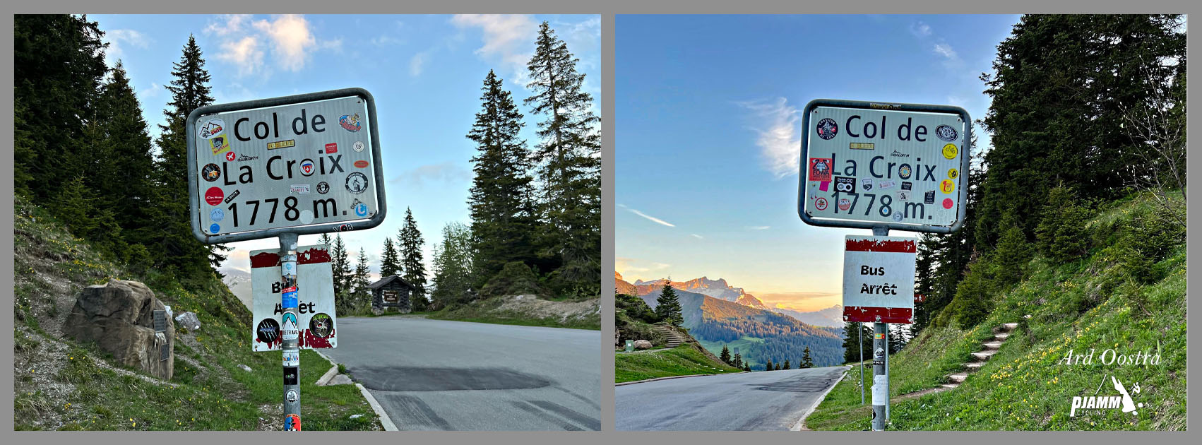
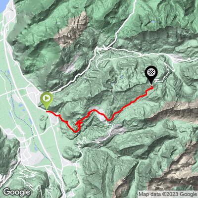
Col de la Croix (1,776 m) is a high pass in the Alpes Vaudoises connecting the Rhone valley with Les Diablerets, and this route climbs its southern side from Ollon. Over 19.5 km (12.1 mi) the road gains 1,363 m (4,470 ft) at a 7.0% average grade, starting at 414 m (1,358 ft) near Aigle and finishing at the col itself.
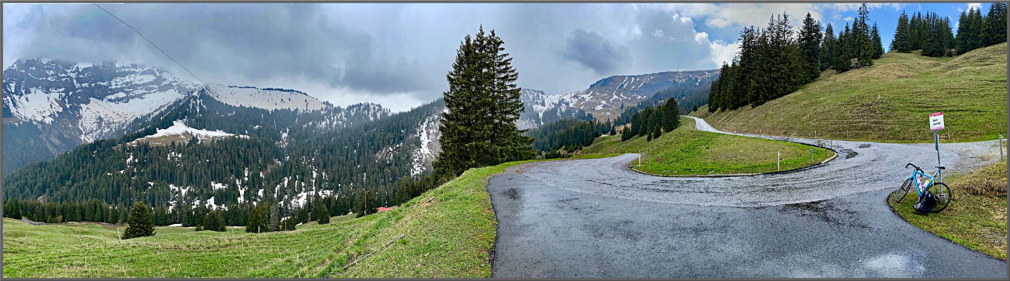
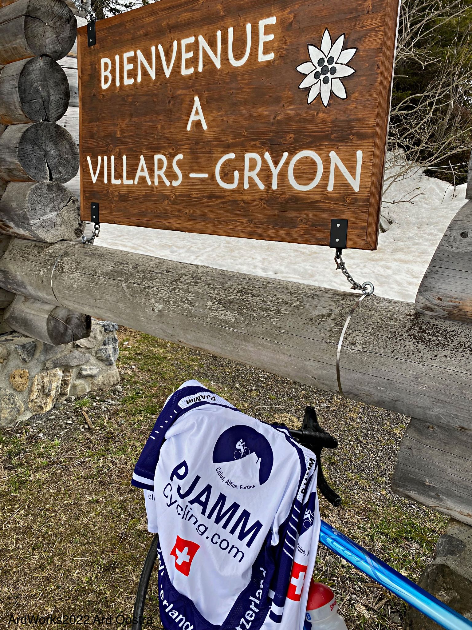
The route climbs through the wine village of Antagnes and the mountain village of Huemoz before reaching Villars-sur-Ollon, a golf-and-ski resort town roughly two-thirds of the way up, then continues above the treeline to the summit. This is the quieter of the two main paved approaches - the route via Bex, on the other side of the valley, sees more traffic and is the more popular way up; see our Col de la Croix (Bex) page for that approach, or our Col de la Croix (North) page for the descent toward Les Diablerets on the other side.
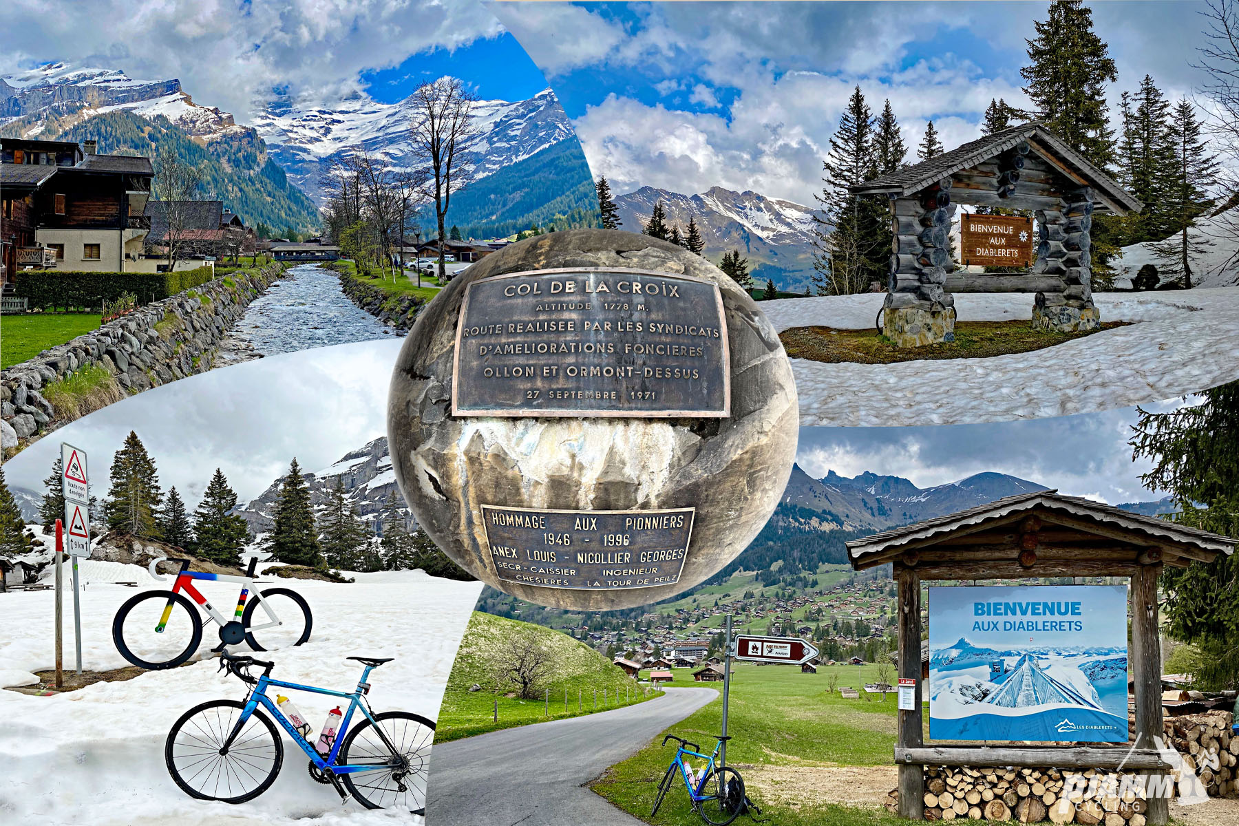
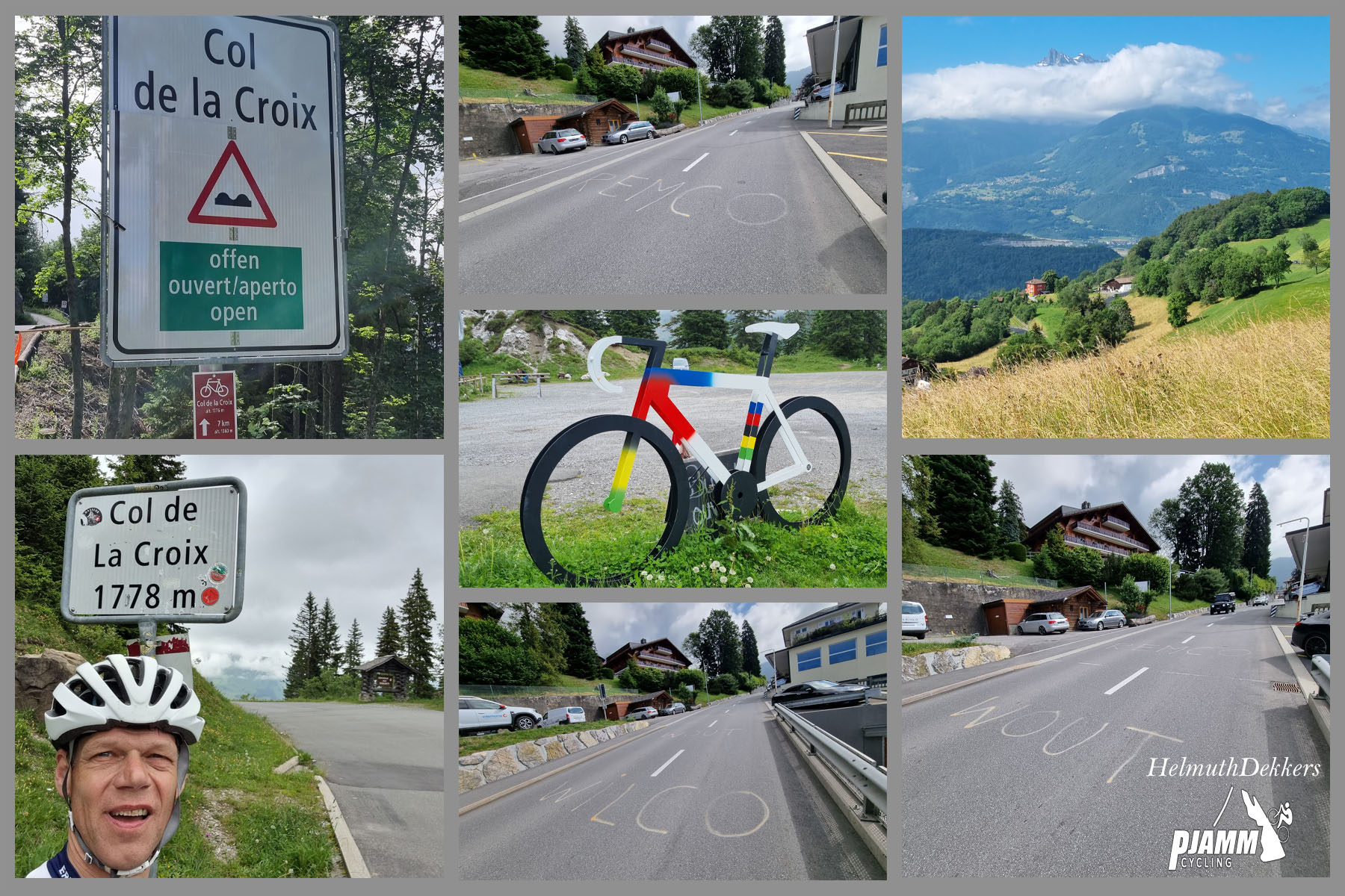
The climb has real racing pedigree: it has featured in the Tour de France three times (1997, 2012 and 2022) and is a regular fixture of the Tour de Romandie and Tour de Suisse.
The road is seasonal - it typically opens in early May and closes by late October, and the Col de la Croix road itself is closed to vehicles all winter and repurposed for cross-country skiing and tobogganing. Check current conditions with our Weather tool before planning a trip near either end of the season.
PLAN YOUR ROUTE
 We've partnered with Sherpa-Map.com to bring you the best route planning tool. With a PRO Membership you can use this climb as a reference when creating your route.
 From Ollon (414 m / 1,358 ft), Col de la Croix climbs 19.5 km (12.1 mi) to 1,776 m (5,828 ft) at a 7.0% average grade. The grade is fairly consistent with a slightly harder opening stretch - the steepest kilometer, near the base below Antagnes, averages close to 9.9%, and the steepest full mile averages around 9.7%. Above Villars-sur-Ollon the grade eases slightly but keeps climbing steadily all the way to the pass.
Roadway: Paved the entire way and well maintained - this is a cantonal road that has hosted the Tour de France, Tour de Romandie and Tour de Suisse, so it is kept in good condition. It is seasonal: the road typically reopens for the summer in early May (confirmed reopening for 8 May in 2026) and closes again toward the end of October, after which the stretch over the col is closed to vehicles for winter cross-country skiing and tobogganing.
Traffic: Light to moderate. Traffic is heavier through Villars-sur-Ollon, an active resort town with golf, hotels and shops, and thins out considerably above the village on the open final stretch to the pass. This side generally sees less traffic than the more popular Bex approach on the other side of the valley.
Parking: Ollon, at the base, has parking near the village center. Villars-sur-Ollon, about two-thirds of the way up, also has ample parking if you would rather start higher and shorten the ride.
Gear: Standard mountain-climbing gearing is enough here - the grade never gets extreme - but the finish at 1,776 m (5,828 ft) is well above the valley floor, so pack a layer for the descent even on a warm day.
Provisions: Ollon and Villars-sur-Ollon both have shops, bakeries and restaurants for stocking up - Villars in particular, as a resort town, has plenty of options roughly two-thirds of the way up. Above Villars there is nothing until the col itself, so carry enough water for the final stretch.
Before heading out on any cycling adventure check out our Things to Bring on a Cycling Trip and use our interactive check list to ensure you don't forget anything.
Villars-sur-Ollon, on this route about two-thirds of the way up, is a well-established resort town with hotels, a golf course and mountain scenery worth a stay in its own right, while Ollon at the base is a working wine village in the Rhone valley near Aigle - a good, quieter option if you would rather not stay up in the resort.
The Alpes Vaudoises are dense with climbing options: the Bex approach to this same pass, the descent toward Les Diablerets on the other side, and other nearby cols are all within a short drive. See other climbs nearby with our Routes in the Area tool if you are planning a multi-day trip in the region.
ROUTE MAP
MEMBER RATING
CURRENT WEATHER
PJAMM TRIPS ADVENTURE STARTER BUNDLES
Check out PJAMM Adventure's prepackaged (self-guided) cycling trips. They will help you plan, document and conquer your next adventure.
NEARBY CLIMBS (0) RADIAL PROXIMITY
FROM No Climbs Found
MEMBER REVIEWS & COMMENTS
Let us know what you thought of this climb. Signup for our FREE membership to write a review or post a comment.
Already have an account?
LOG IN HERE