18.2
PDI
7.3 mi
DISTANCE
2,798 ft
GAINED
7.2 %
AVG. GRADE
FULL CLIMB STATS
INTRO
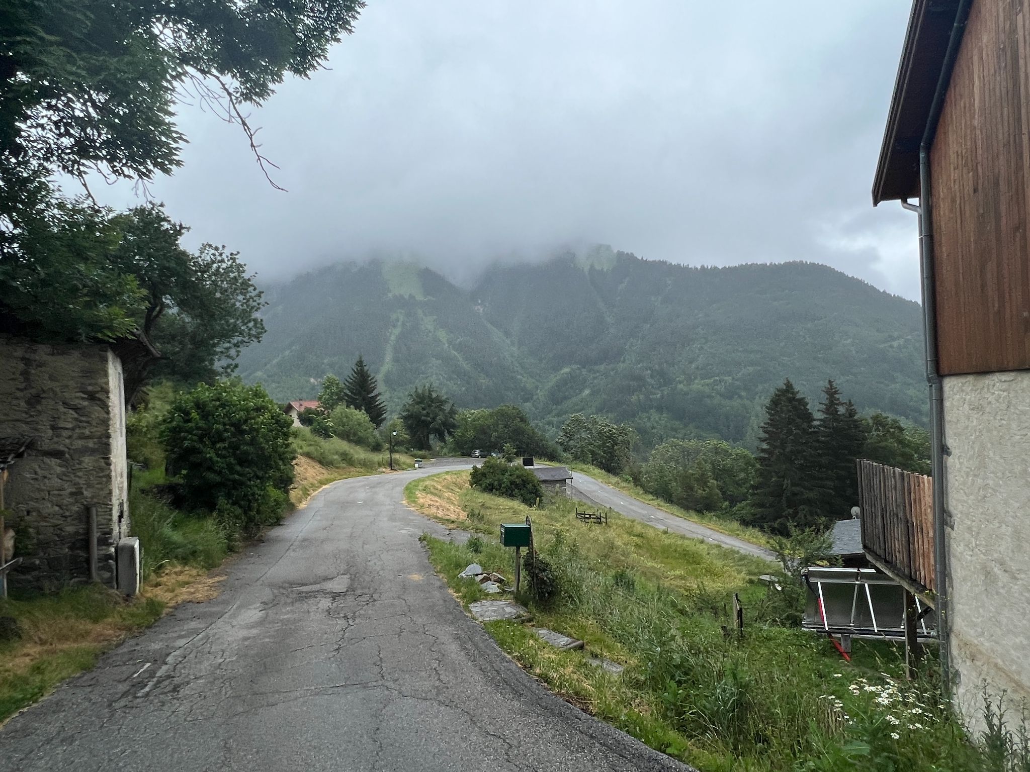
Montdenis climbs 11.8 km (7.3 mi) from Saint-Julien-Mont-Denis, gaining 853 m (2,798 ft) at a 7.2% average grade, from 648 m (2,126 ft) on the floor of the Maurienne valley to 1499 m (4,918 ft) at the end of the road just above the village of Montdenis. It's a dead-end road that only serves the hamlets on the mountainside, which makes it one of the quietest climbs around the cycling hub of Saint-Jean-de-Maurienne - and one of the most consistent: no full kilometer drops below 5.0% or rises above 9.2%.
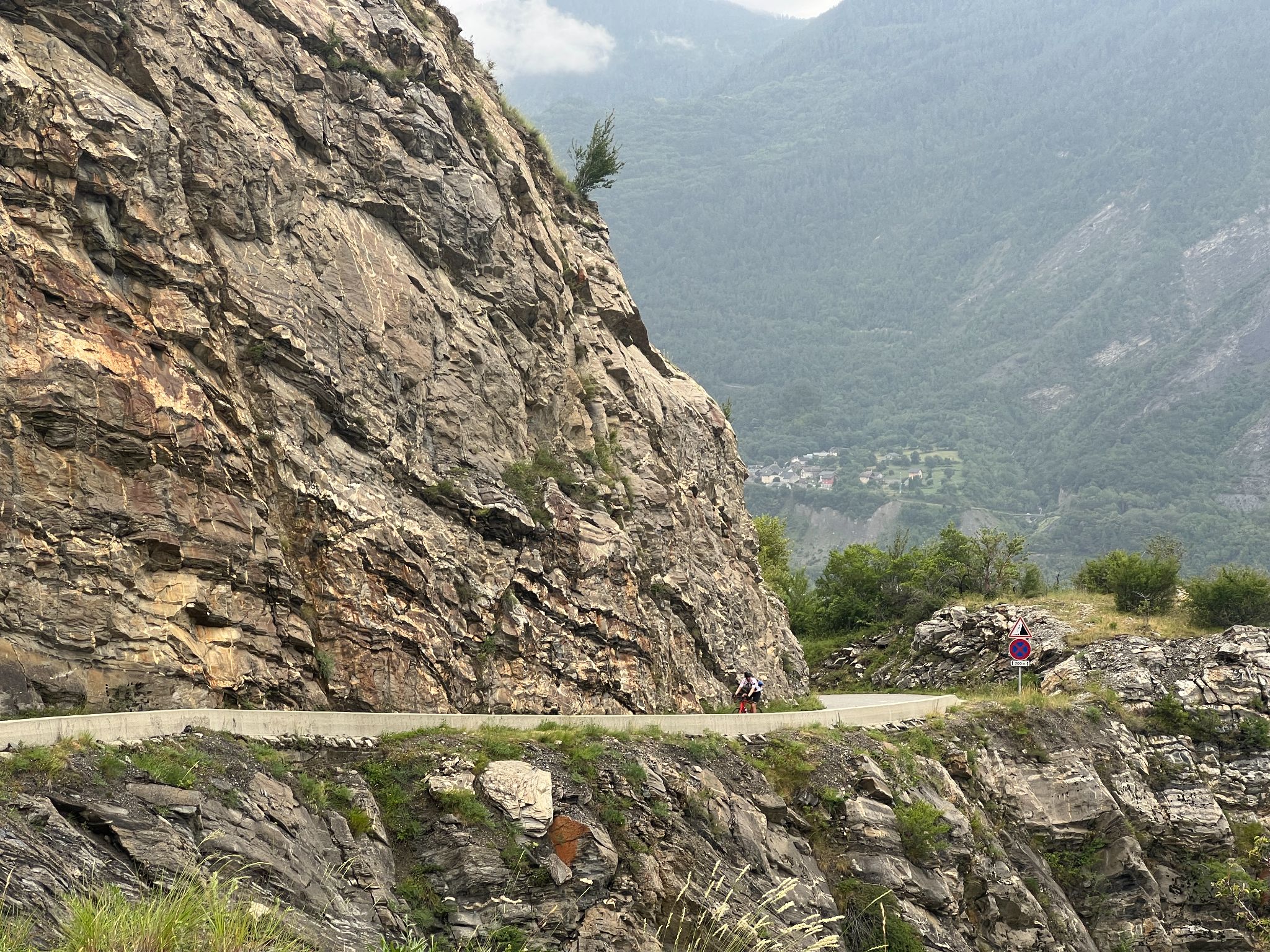
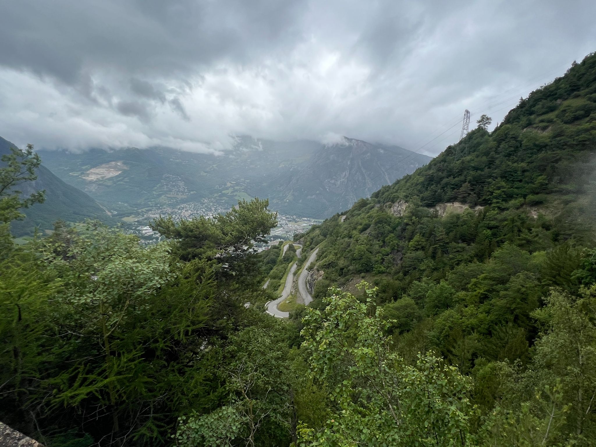
The signature section is a ladder of 11 hairpins carved into the cliff, spread over 5.6 km (3.5 mi) from km 2.2 (1.4 mi) and averaging 7.1%. You can pick these switchbacks out on the mountainside from the southern side of Saint-Jean-de-Maurienne, and riding them gives one plunging view after another back down into the valley. The slope faces south with almost no shade, so this is a climb for a cool morning rather than a hot afternoon.
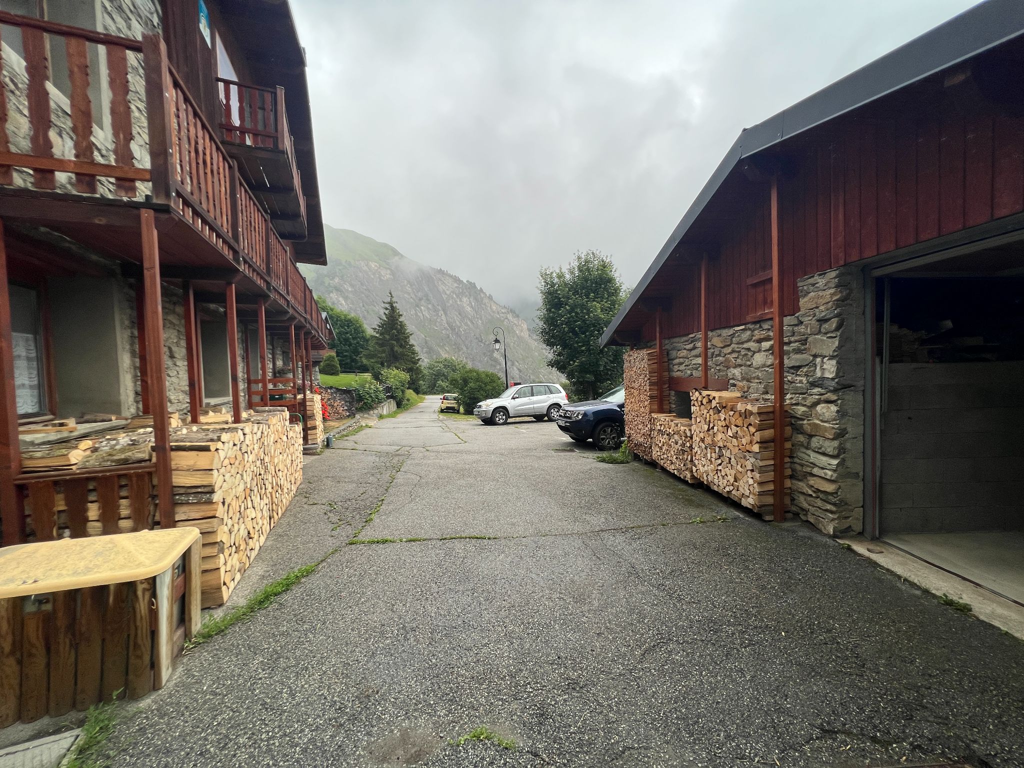
Montdenis itself is a small, very well-kept village of about 25 permanent residents at around 1440 m (4,724 ft). It was a commune in its own right, with records going back to the 1300s, until it was joined with Saint-Julien in 1965 - hence the double-barreled name of the commune you start in. The upper road was reinforced and resurfaced by the Savoie Department in the fall of 2025, and the lower hairpins are shared with our Col du Sapey East climb, which branches off partway up.
PLAN YOUR ROUTE
 We've partnered with Sherpa-Map.com to bring you the best route planning tool. With a PRO Membership you can use this climb as a reference when creating your route.
Montdenis is a remarkably steady climb. It averages 7.2% over 11.8 km (7.3 mi), and the opening 2.2 km (1.4 mi) past Grenis is actually a little steeper than that, at about 7.8%.
The 11 hairpins that follow cover 5.6 km (3.5 mi) at 7.1%, with the road switching back and forth across the cliff face in a regular rhythm that's easy to settle into.
The steepest riding comes just past km 8 (5.0 mi): the steepest kilometer averages 9.2%, with a 0.5 km (0.3 mi) pitch at 10.0%, and the steepest 2 km (1.2 mi) average 8.3%. The grade then eases to about 5.0% for a kilometer before the final run through the village to the road's end, which holds close to 7.5%.
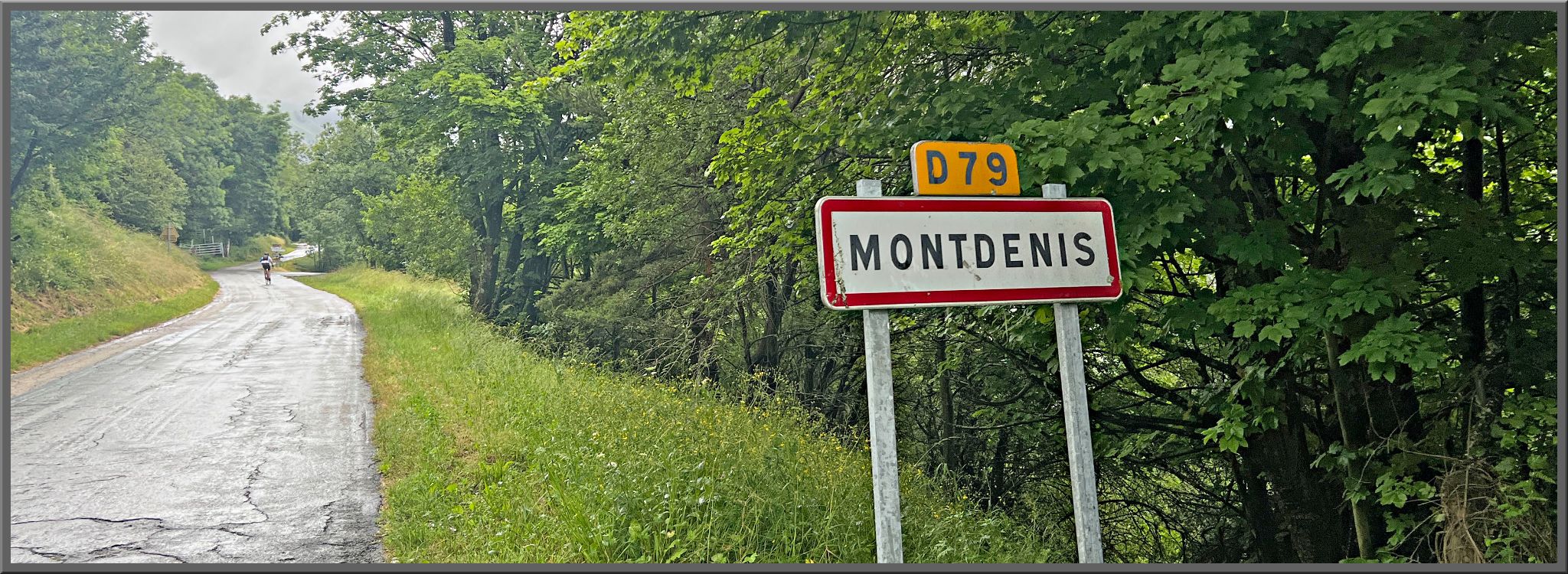
Roadway: Paved the entire way on the Route de Montdenis (D79), a mountain road wide enough for two cars to pass on most of the climb. Riders have described the surface as decent but not perfect, but the Savoie Department reinforced and resurfaced the road above Grenis in October and November 2025, so the upper section should be in its best shape in years. The hairpins are cut into the cliff and very exposed to the drop, so take the descent carefully.
Traffic: Very light. The road is a dead end that only serves Grenis, Montdenis and a few scattered houses, so expect the occasional resident's car and little else.
Parking: Saint-Julien-Mont-Denis is a village of about 1,500 people on the valley floor - park considerately in the village near the start, keeping clear of driveways, rather than anywhere on the narrow climb itself. The Circuit des Ardoisiers hiking trail also has a signed parking and information area off the road toward Montdenis. Alternatively, base yourself in Saint-Jean-de-Maurienne, where our Col de la Croix de Fer (Saint-Jean-de-Maurienne) page covers street parking, and ride the short approach up the valley.
Provisions: There's no café at the top, and riders have reported running out of water on this sunny, south-facing slope, so fill your bottles in Saint-Julien-Mont-Denis before you start. For a meal before or after, the Hôtel-Restaurant Le Lancheton in Saint-Julien serves traditional cooking and is open year-round.
Gear: A compact crankset with a 28- or 30-tooth low gear suits a long climb that sits at a steady 7% from bottom to top. Bring sun protection for the exposed hairpins and a light layer for the 853 m (2,798 ft) descent.
Before heading out on any cycling adventure check out our Things to Bring on a Cycling Trip and use our interactive check list to ensure you don't forget anything.
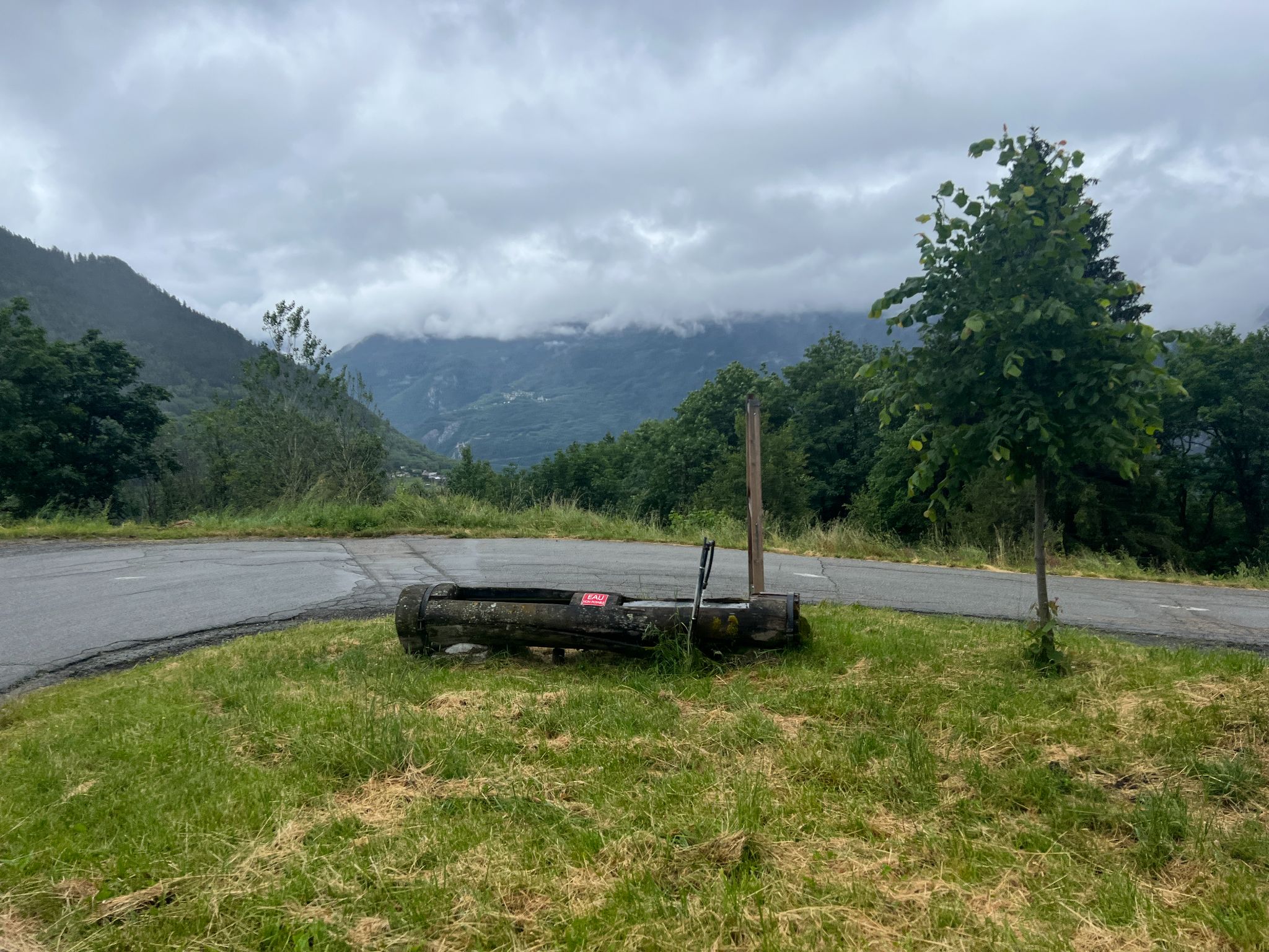
Montdenis rewards a wander once you've caught your breath: the village has an old stone wash house (lavoir), a fountain, its former school and a church square with a view down the valley. If you have a rest day, a waymarked hiking loop from the village climbs through the hamlets of the mountainside to the Pointe du Télégraphe (1,719 m / 5,640 ft), a picnic spot with a view straight down onto Saint-Jean-de-Maurienne.
Down at the start, Saint-Julien-Mont-Denis has its own piece of mountain history. Slate was quarried from galleries in the cliffs here through the 19th and 20th centuries, and the Circuit des Ardoisiers, a sporty 5 km (3.1 mi) hike of about three hours from 650 m to 1,200 m (2,133 ft to 3,937 ft), follows the old quarry paths with information panels on the slate trade and the early 20th-century cable line that once linked Saint-Julien to Montdenis - its big pylons are still visible near the start. The trail is closed from December 1 to May 1. For Saint-Jean-de-Maurienne itself and the Opinel museum, see our Col de la Croix de Fer (Saint-Jean-de-Maurienne) page. Col d'Albanne starts from Le Bochet in the same commune, and Col du Sapey East shares this road's hairpins - see other climbs nearby, or build a custom route from here, with our Routes in the Area tool.
ROUTE MAP

MEMBER RATING
CURRENT WEATHER
PJAMM TRIPS ADVENTURE STARTER BUNDLES
Check out PJAMM Adventure's prepackaged (self-guided) cycling trips. They will help you plan, document and conquer your next adventure.
NEARBY CLIMBS (0) RADIAL PROXIMITY
FROM No Climbs Found
MEMBER REVIEWS & COMMENTS
Let us know what you thought of this climb. Signup for our FREE membership to write a review or post a comment.
Already have an account?
LOG IN HERE