19.1
PDI
8.3 mi
DISTANCE
2,986 ft
GAINED
6.8 %
AVG. GRADE
FULL CLIMB STATS
INTRO
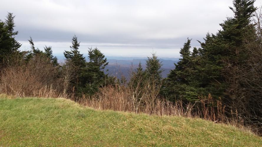
"The south side of massive Roan Mountain in the northwest corner of North Carolina is a solid and difficult climb up to high altitude (for the eastern United States). Somewhat isolated, it carries a fairly steady grade and good scenery results in a pleasant ride. More shallow down low, just over a mile into the climb the grade increases and stays increased for much of the remainder of the hill. More open through its bottom section you will ride through trees over much of its 2nd half. The grade eases in the last half mile before scenic Carvers Gap with hiking possibilities (the Appalachian Trail crosses here)..." (This quote is presented with the approval of John Summerson, from his book, The Complete Guide to Climbing (by Bike) in the Southeast, pg. 88.)
PLAN YOUR ROUTE
 We've partnered with Sherpa-Map.com to bring you the best route planning tool. With a PRO Membership you can use this climb as a reference when creating your route.
 See more details and tools regarding this climb's grade via our interactive Profile Tool.
Information Not Available
If you have any information regarding this climb, we'd like to hear from you. Click the CONTRIBUTE button to share your thoughts with us.
Information Not Available
If you have any information regarding this climb, we'd like to hear from you. Click the CONTRIBUTE button to share your thoughts with us.
Before heading out on any cycling adventure check out our Things to Bring on a Cycling Trip and use our interactive check list to ensure you don't forget anything.
Information Not Available
If you have any information regarding this climb, we'd like to hear from you. Click the CONTRIBUTE button to share your thoughts with us.
ROUTE MAP

MEMBER RATING
CURRENT WEATHER
PJAMM TRIPS ADVENTURE STARTER BUNDLES
Check out PJAMM Adventure's prepackaged (self-guided) cycling trips. They will help you plan, document and conquer your next adventure.
NEARBY CLIMBS (0) RADIAL PROXIMITY
FROM No Climbs Found
MEMBER REVIEWS & COMMENTS
Let us know what you thought of this climb. Signup for our FREE membership to write a review or post a comment.
Already have an account?
LOG IN HERE
jwilkin3
One of the best climbs in western North Carolina.
HSPaxton


A good morning in the saddle and a nice contrast to the North route up Roan. Accurately described by J.S., this side of Roan Mtn has far less traffic. I was up early and only 2 cars passed me on the ascent. No cars went by on the descent. I did run a gauntlet low on the route on the return. Courtesy of a farm truck traveling the wrong way in the wrong lane with a Razor quad being unloaded in the opposite lane. Skinny tires advantage prevailed. I took less than 2 hours including going out to the gardens area. Lots of deer, beautiful landscapes, and a classic Appalachian altitude ride made it memorable.

