14.2
PDI
9.8 mi
DISTANCE
2,660 ft
GAINED
5.2 %
AVG. GRADE
FULL CLIMB STATS
Page Contributor(s): Steve Jones, Olympia, WA; Joel Blatt, Bend, OR
INTRO
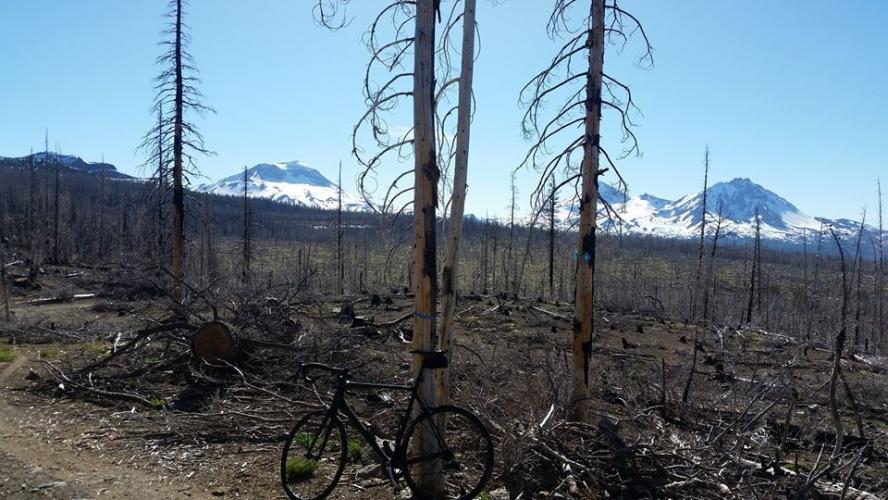
This 9.8 mile bike climb is located in OR, USA. The average gradient is 5.2% and there is a total elevation gain of 2,660 ft, finishing at 6,221 ft.
Use the profile tool, route map, and weather forecast to conquer this cycling climb.
Use the profile tool, route map, and weather forecast to conquer this cycling climb.
PLAN YOUR ROUTE
See more details and tools regarding this climb's grade via our interactive Profile Tool.
Information Not Available
If you have any information regarding this climb, we'd like to hear from you. Click the CONTRIBUTE button to share your thoughts with us.
Information Not Available
If you have any information regarding this climb, we'd like to hear from you. Click the CONTRIBUTE button to share your thoughts with us.
Before heading out on any cycling adventure check out our Things to Bring on a Cycling Trip and use our interactive check list to ensure you don't forget anything.
Information Not Available
If you have any information regarding this climb, we'd like to hear from you. Click the CONTRIBUTE button to share your thoughts with us.
ROUTE MAP

MEMBER RATING
CURRENT WEATHER
PJAMM TRIPS ADVENTURE STARTER BUNDLES
Check out PJAMM Adventure's prepackaged (self-guided) cycling trips. They will help you plan, document and conquer your next adventure.
NEARBY CLIMBS (0) RADIAL PROXIMITY
FROM No Climbs Found
MEMBER REVIEWS & COMMENTS
Let us know what you thought of this climb. Signup for our FREE membership to write a review or post a comment.
Already have an account?
LOG IN HERE
joelmblatt
I almost selected Horrible for road quality, but it is not impossible or impassable. Not a problem climbing to where pavement ends, which is before you get to lake. This is outstanding climb with modest traffic; people going for hikes or fishing. The problem is with the descent, which is fast and often difficult to see significant potholes. I've gone as far as to have ex-girlfriend pick me up at the top, but that's just me. Usually, I just ride the brakes on descent, until my hands ache. Again, great climb, just unfortunate surface. Don't think I have not talked to city, county, and forest service, because I have. The problem is that road actually spans all their jurisdictions and therefore, nobody will own fixing it, although city has repaved section from town for a few miles in last few years. This is bane of riding in north Deschutes County, because this would be fantastic, if the surface was redone. Has been stage in Cascades Cycling Classic.