![]()
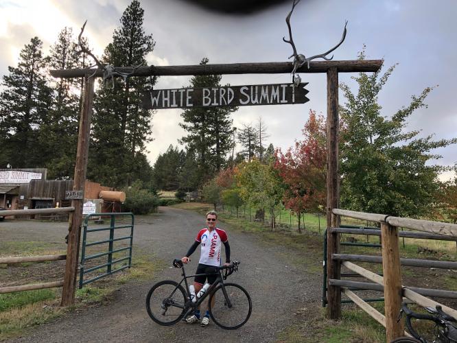
Cycling Old White Bird Summit.
Ride 11.6 miles gaining 2,913’ at 4.7% average grade.
![]()
The following summary is by PJAMM’s Bruce Hamilton:
This climb starts in the town of White Bird, which is located a long way from everywhere. It is worth your time to interrupt your travels to do the climb if you’re traversing Idaho North-South along Highway 95, but this one is quiet and isolated and not on the way to anywhere.
![]()
It gets peaceful and remote quickly in these parts.
Photo: Two miles up the climb.
![]()
Beautiful scenery on this one.
![]()
There are two roads leading from White Bird to the summit – we took the old highway and recommend it over the new, modern yet busier highway. The road surface is not as smooth as the main highway, but only two cars passed us the entire climb. The views are wide open as you ride through high prairie for the first seven miles or so and into an alpine setting for the last few miles. We do recommend the new highway for riding back down from the summit to White Bird. There is a wide shoulder and the pavement is new and smooth – the seven mile descent took only about 12 minutes.
![]()
Thank you Bruce!
![]()
Legendary Canadian Olympic ski racer and television broadcaster Ken Read.
The following point of interest is contributed by Ken Read: About one mile out of the town of White Bird, you pass the historic marker for the “Battle of White Bird,” which was a pivotal event for the Nez Perce First Nation.
“White Bird Battlefield is the location of the first battle of the Nez Perce Flight of 1877. On June 17, 1877, Captain David Perry and his troops moved into the canyon to strike the native encampment. However, they encountered a peace party of six Nez Perce riding towards them. A civilian shot twice at the peace party and the battle began. The U.S. cavalry was defeated with heavy losses and the Nimiipuu began their long journey to find safety and sanctuary.” More information on this event can be found on the National Parks Service website, here.
![]()
Photo: National Park Service.
![]()
That’s a wrap . . .
Thank you Bruce and Stacy!!

 We've partnered with Sherpa-Map.com to bring you the best route planning tool. With a PRO Membership you can use this climb as a reference when creating your route.

