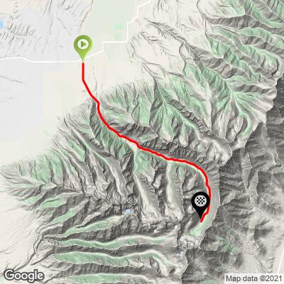
15.3
PDI
11.9 mi
DISTANCE
2,893 ft
GAINED
4.5 %
AVG. GRADE
FULL CLIMB STATS
Page Contributor(s): Bruce Hamilton and Stacy Topping, Midway, NV
INTRO
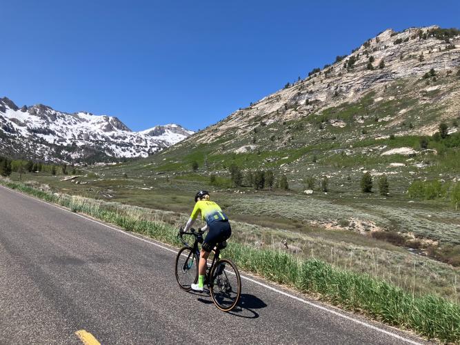
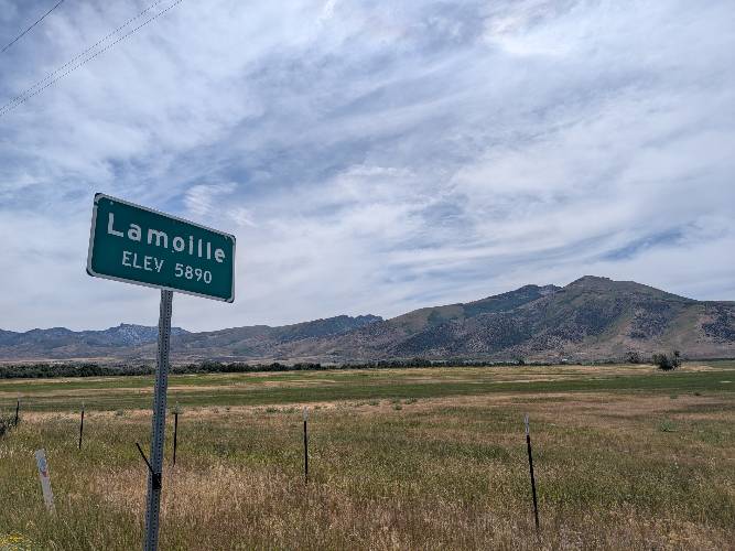
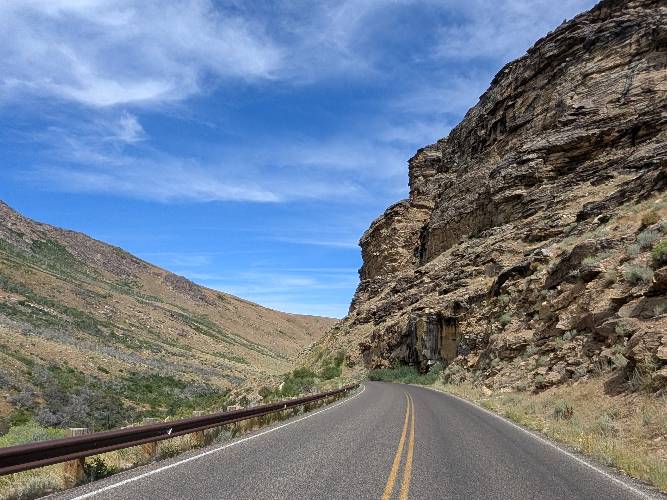
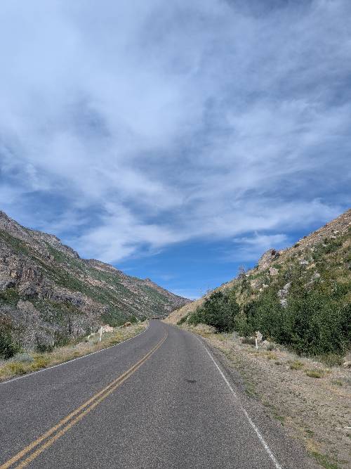
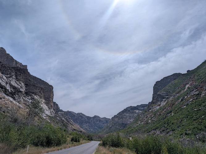
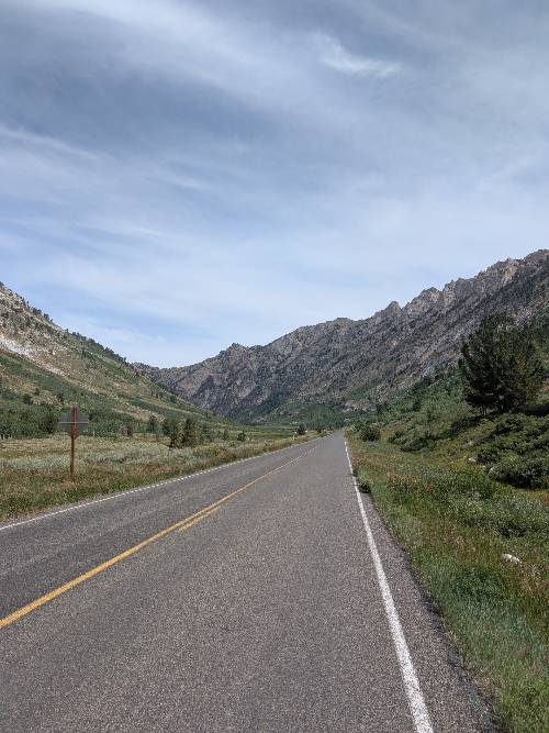
"Lamoille Canyon is a very scenic ascent that dead ends deep within the isolated and steep Ruby Mountains east of Elko, Nevada. A somewhat variable grade includes several descents within the first half of the ascent. Soon you enter a tight and scenic canyon with trees and towering walls in places. Don't miss the small glacier to your right as well. Soon the canyon opens up a bit and the grade evens out here and is quite steady for the majority of the climb. As you near the end of the hill you are faced with big rock walls all around you and the climb dead ends at a small parking area with hiking possibilities in a scenic setting." (This quote is presented with the approval of John Summerson, from his book, The Complete Guide to Climbing (by Bike), 2nd Edition, pg. 193.)
PLAN YOUR ROUTE
See more details and tools regarding this climb's grade via our interactive Profile Tool.
Information Not Available
If you have any information regarding this climb, we'd like to hear from you. Click the CONTRIBUTE button to share your thoughts with us.
Information Not Available
If you have any information regarding this climb, we'd like to hear from you. Click the CONTRIBUTE button to share your thoughts with us.
Before heading out on any cycling adventure check out our Things to Bring on a Cycling Trip and use our interactive check list to ensure you don't forget anything.
Information Not Available
If you have any information regarding this climb, we'd like to hear from you. Click the CONTRIBUTE button to share your thoughts with us.
ROUTE MAP
MEMBER RATING
CURRENT WEATHER
PJAMM TRIPS ADVENTURE STARTER BUNDLES
Check out PJAMM Adventure's prepackaged (self-guided) cycling trips. They will help you plan, document and conquer your next adventure.
NEARBY CLIMBS (0) RADIAL PROXIMITY
FROM No Climbs Found
MEMBER REVIEWS & COMMENTS
Let us know what you thought of this climb. Signup for our FREE membership to write a review or post a comment.
Already have an account?
LOG IN HERE
glover
Great climb with excellent road with minimal traffic. Rode on a Saturday morning and they were having a hill climb race at the same time. The gradients are not bad with many reprieves less harsh sections throughout the ride. Very manageable for an intermediate rider. Would recommend