![]()
Cycling Nebo Loop Road, Payson, Utah, North and South.
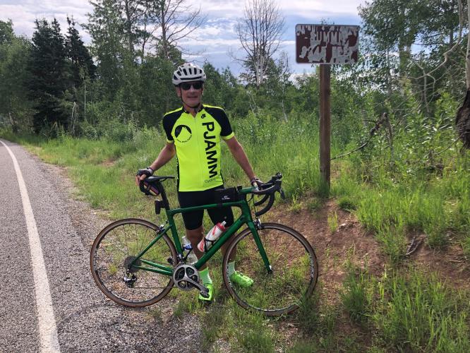
Climb summary by PJAMM friend and contributor Bruce Hamilton:
The Nebo Loop North climb begins at the southern edge of Payson, Utah about 60 miles south of Salt Lake City. Payson was established in 1850 and named by Brigham Young himself.
![]()
![]()
The Payson Scottish Festival has been held annually in Payson since 1984 so July is a good time to ride Nebo if you are interested in enjoying things around Payson other than the Nebo Loop climb. However, beware that July is also historically the hottest month in Payson.
![]()
Image: weatherspark.com
We begin climbing almost immediately. The Nebo northern climb begins almost immediately from the start with low brush greenery surrounding us. As we climb, the landscape transitions to evergreen trees and higher there are many groves of aspens.
![]()
Lower section of the climb.
![]()
Fields of grass and wonderful mountain views.
![]()
Moooooo . . . vvvvve.
Upper section of the climb.
This ride is hot and dry in summer and there is no water – come prepared. There are a few small 8-9% jumps but this is generally a long and consistently gradual climb. By the 16 mile mark we’ve done most of the climbing and the last miles consist of rollers (last 8 miles average 2.1%) as we ride across a high plateau.
The aspen trees and yellow flowers are beautiful and there are many open views of higher mountains beyond. This would be a great ride to do in autumn when the leaves are changing.
![]()
Upper section of the climb.
There was remarkably little traffic – almost nobody out there and only saw a few cars per hour. Road surface is generally good and the downhill has only a few hairpins that require some braking. This is a long but not difficult climb and highly recommended for the scenery and solitude.
![]()
Cycling Nebo Loop South
Ride 13.8 miles gaining 3,860’at 4.9% average grade.
This climb begins in a few miles west of Nephi, Utah at the intersection of Hwy 132 and Nebo Loop Road. There are several rollers or short descents and the steepest quarter mile 11.1% and mile is 9.5%.
PJAMM’s Bruce Hamilton summary:
This climb starts a few miles east of the town of Nephi and heads north from highway 132 up the Nebo Loop National Scenic Byway. We parked in a small turnout on highway 132 but there is a large paved parking lot with restrooms about a mile from the highway along the Nebo Loop road. This climb is steeper than the north side climb and the specs are a bit deceptive. It may average only 5% over 13 miles but the first three miles of this climb are at about 2% so the elevation gain is concentrated in the remaining 10 miles. And with a few downhill sections the climbing contains several stretches of grade higher than 10% and there is a 3.7 mile segment beginning at mile 3.7 that averages 8.9%.
This is a beautiful rural climb with very little traffic and virtually no buildings or commerce along the way. There is no water along the route and it can be warm on summer afternoons. We rode on a weekday morning in summer and saw only a few cars the entire ride. The descent is fun but it is steep and the winding road requires care – we were on the brakes quite a bit coming down. This climb can be combined with the north side climb (22 miles, 5000 feet) for a total ride of 70 miles and 9000 feet.
![]()
To ride Nebo Loop Road South, ride down from the summit 14 miles to Hwy 132 then ride back up the mountain. The full Nebo “Loop” (out-and-back) route from Payson is about 73 miles with nearly 6,000’ of climbing.
![]()
Thank you Bruce!!

 We've partnered with Sherpa-Map.com to bring you the best route planning tool. With a PRO Membership you can use this climb as a reference when creating your route.

