38.8
PDI
26.1 mi
DISTANCE
6,295 ft
GAINED
4.5 %
AVG. GRADE
FULL CLIMB STATS
Page Contributor(s): Bracken C, Colorado Springs, CO; Austin Frindt, Colorado Springs, CO; Grady Faint, Jefferson, GA
INTRO
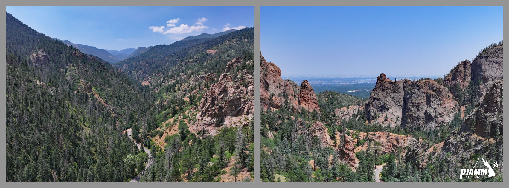
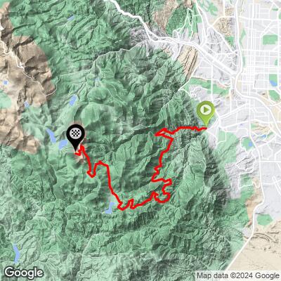
Almagre Mountain is a 12,300-foot peak overlooking Colorado Springs, and this route is the hard way up it: 26.1 miles and 6,295 feet of gain at a 4.45% average grade, starting at the Starsmore Visitor and Nature Center in North Cheyenne Canon Park. With a road-surface rating of just 1 out of 5, it is one of Colorado's toughest gravel challenges.
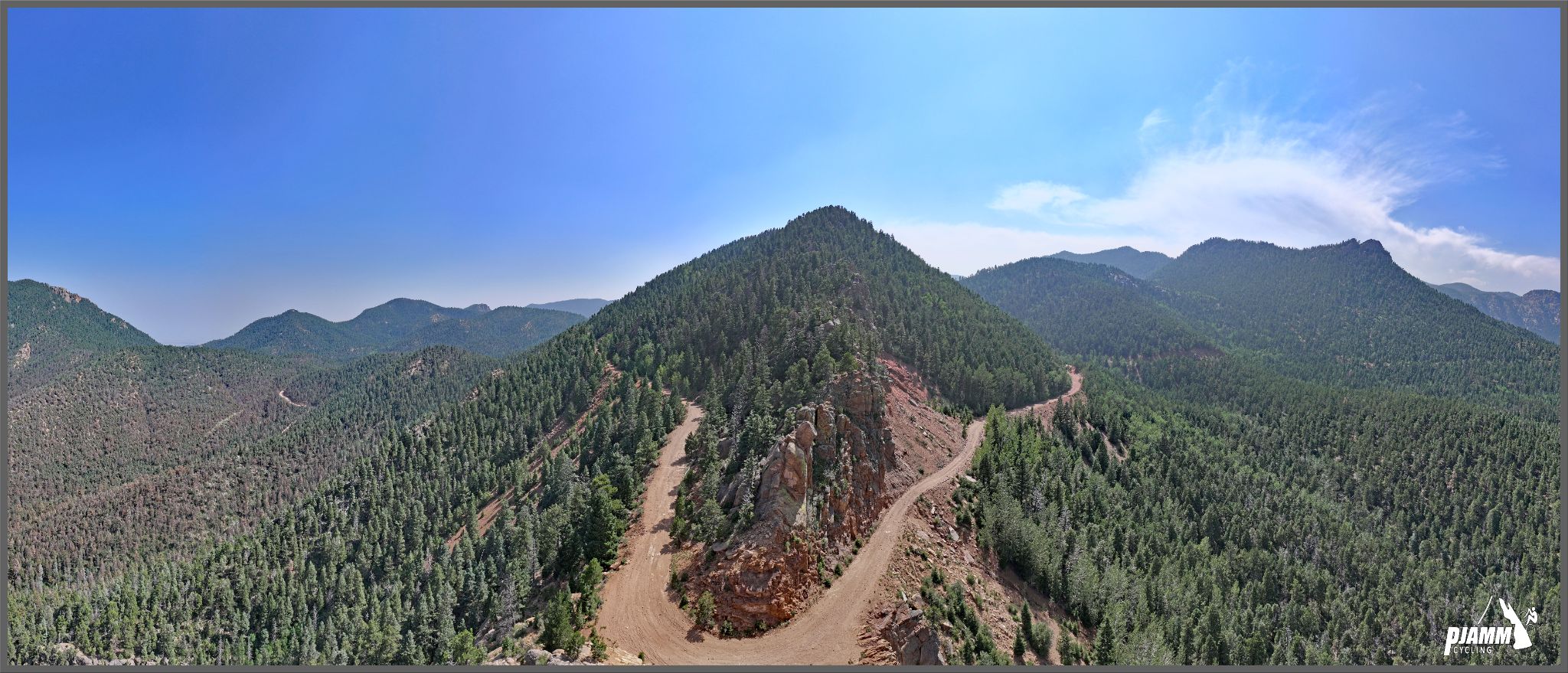
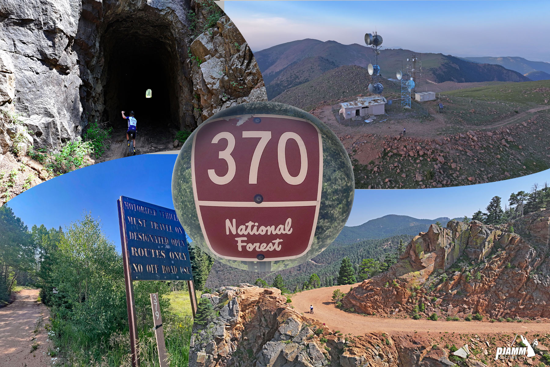
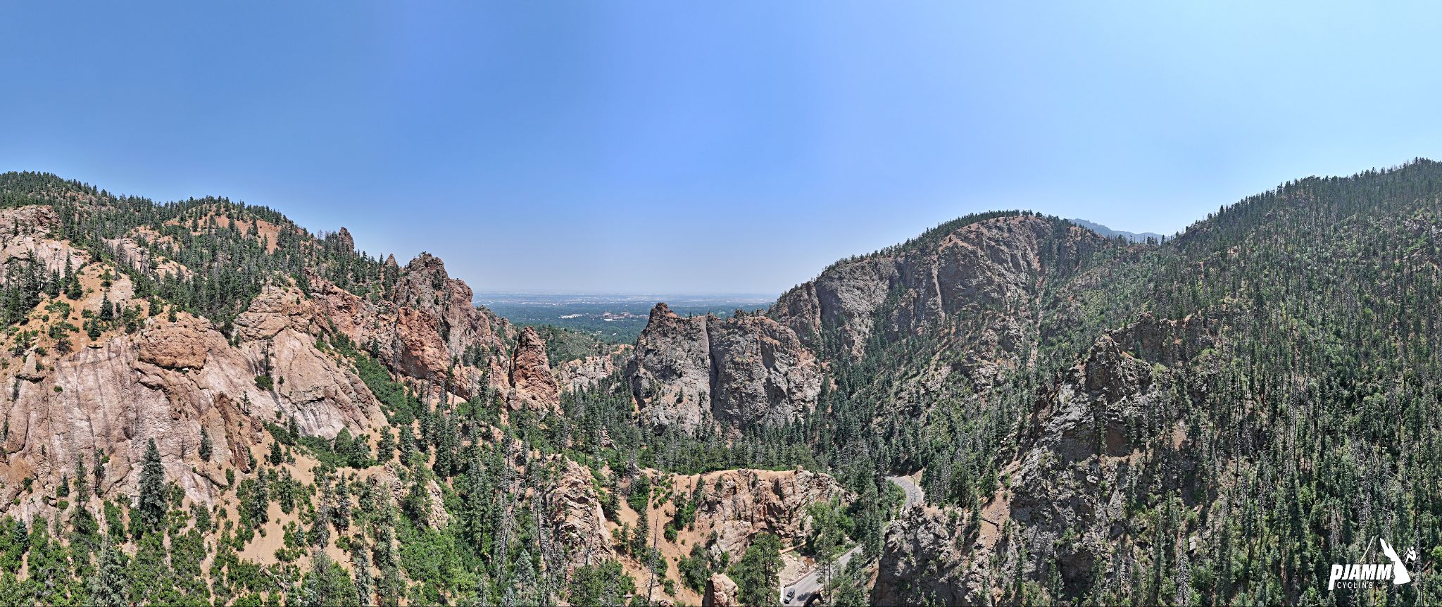
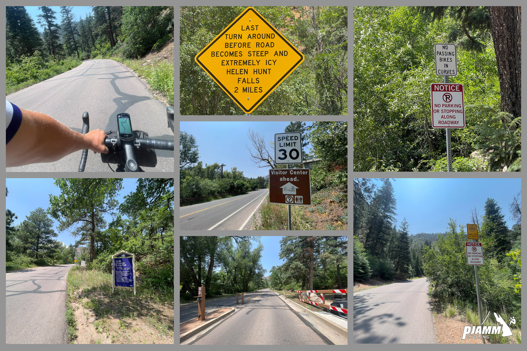
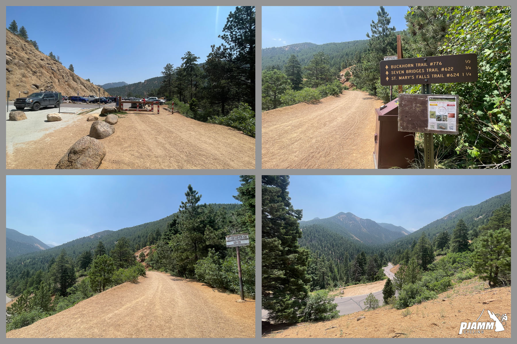
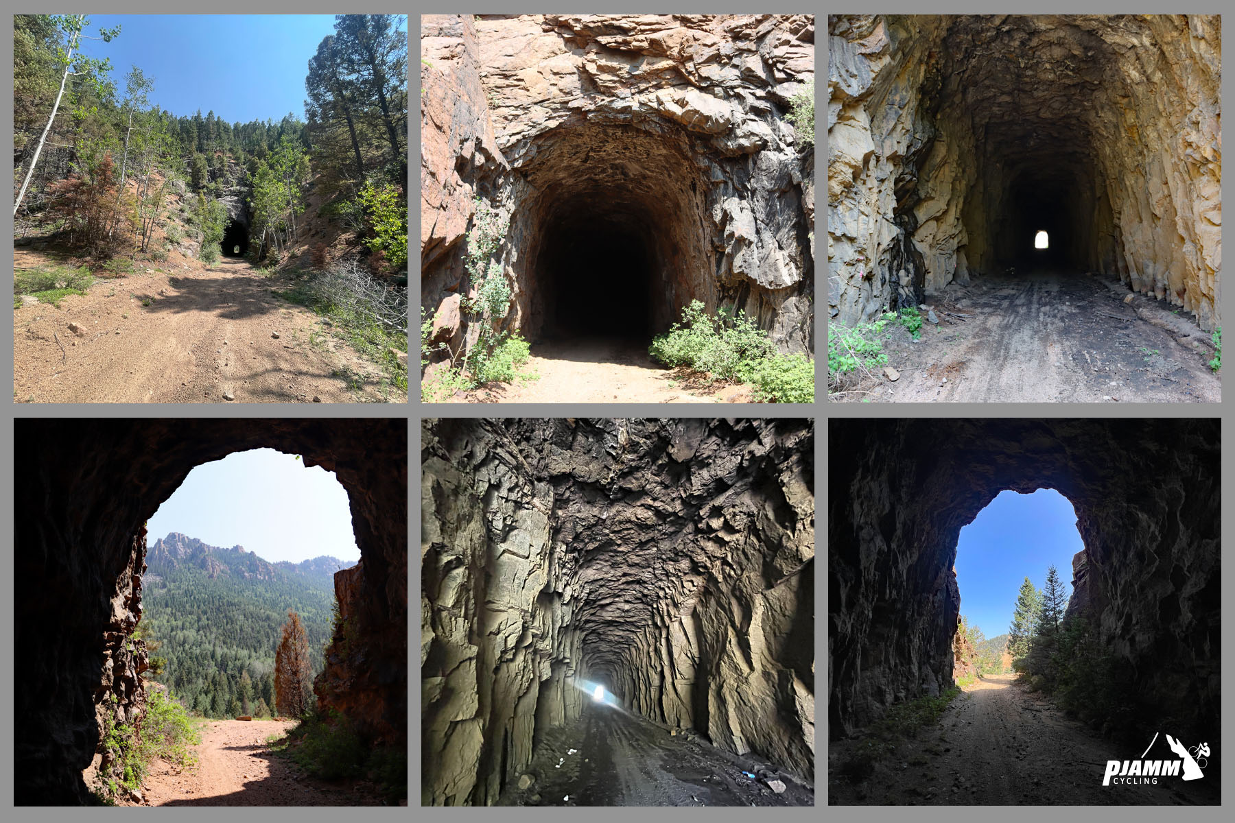
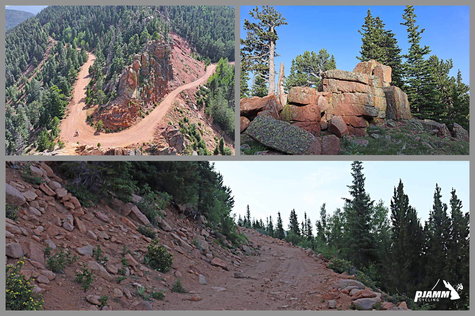
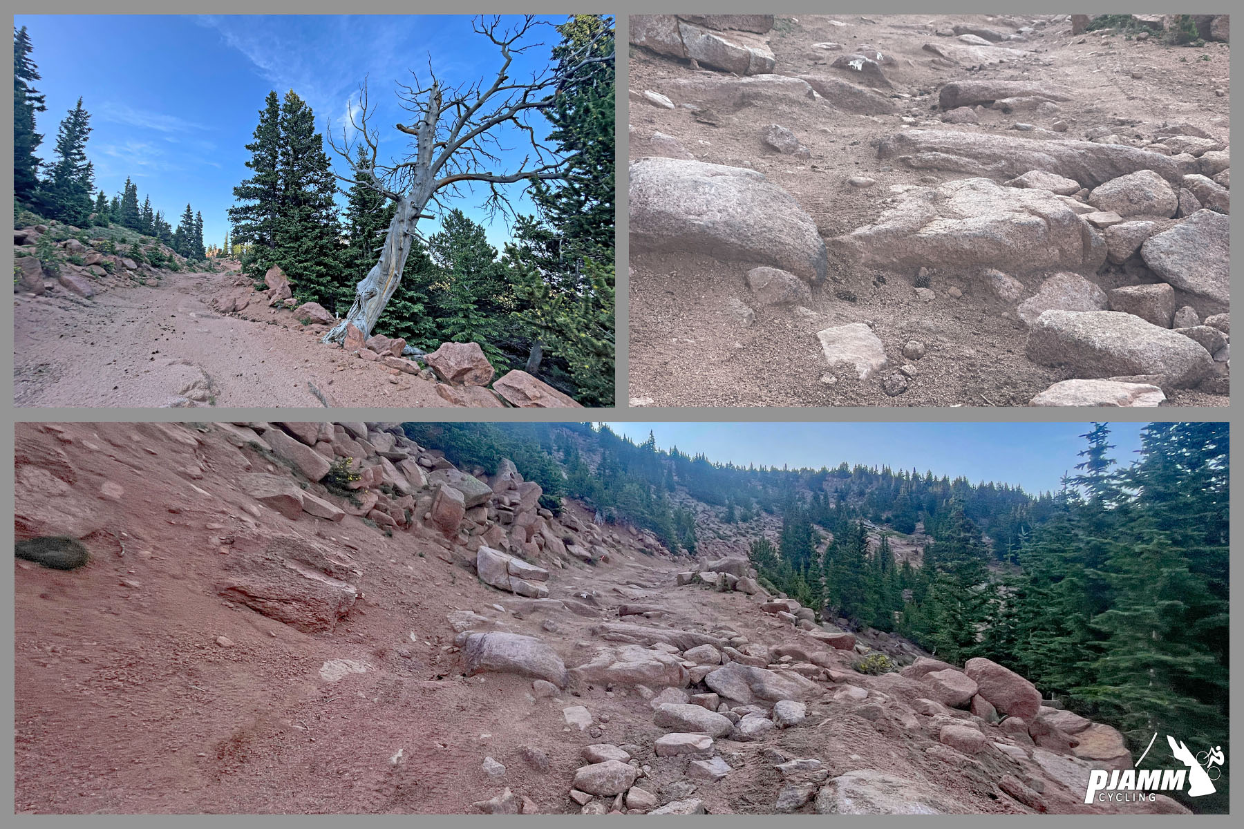
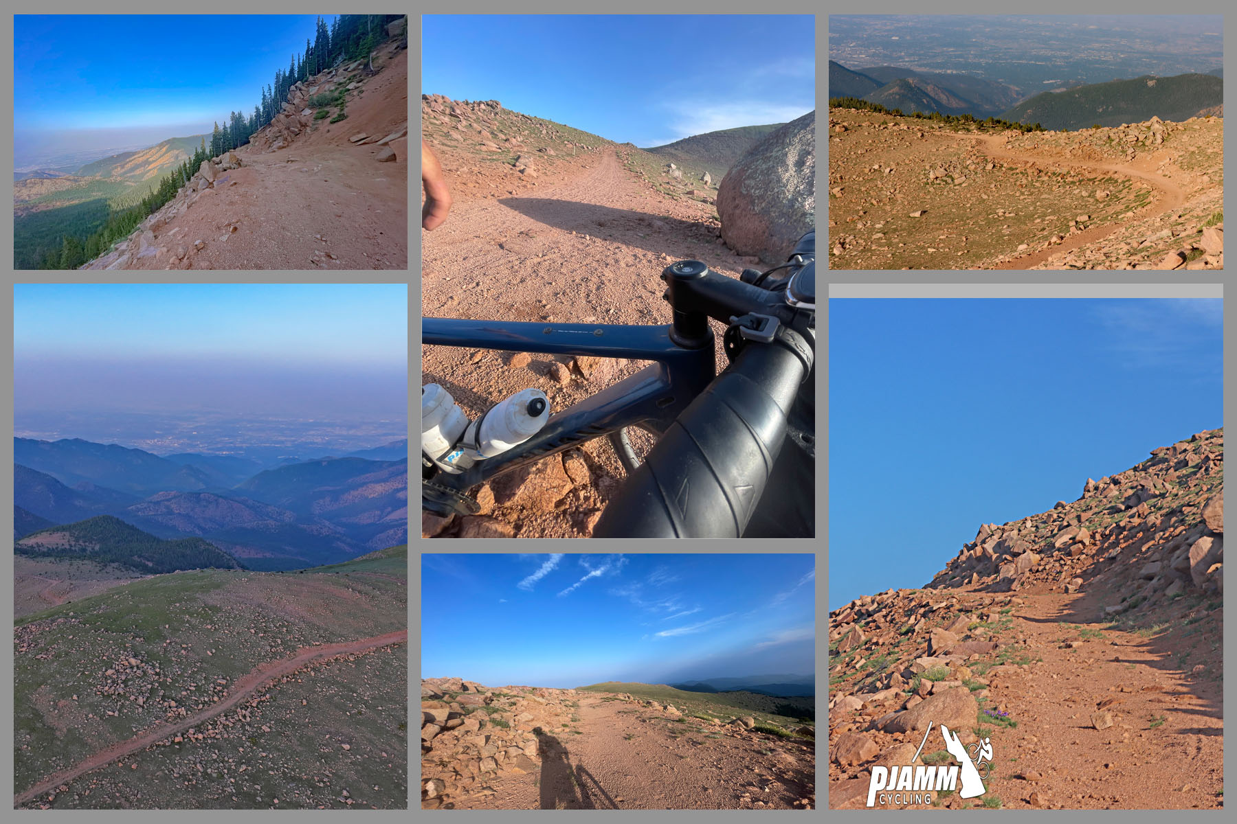
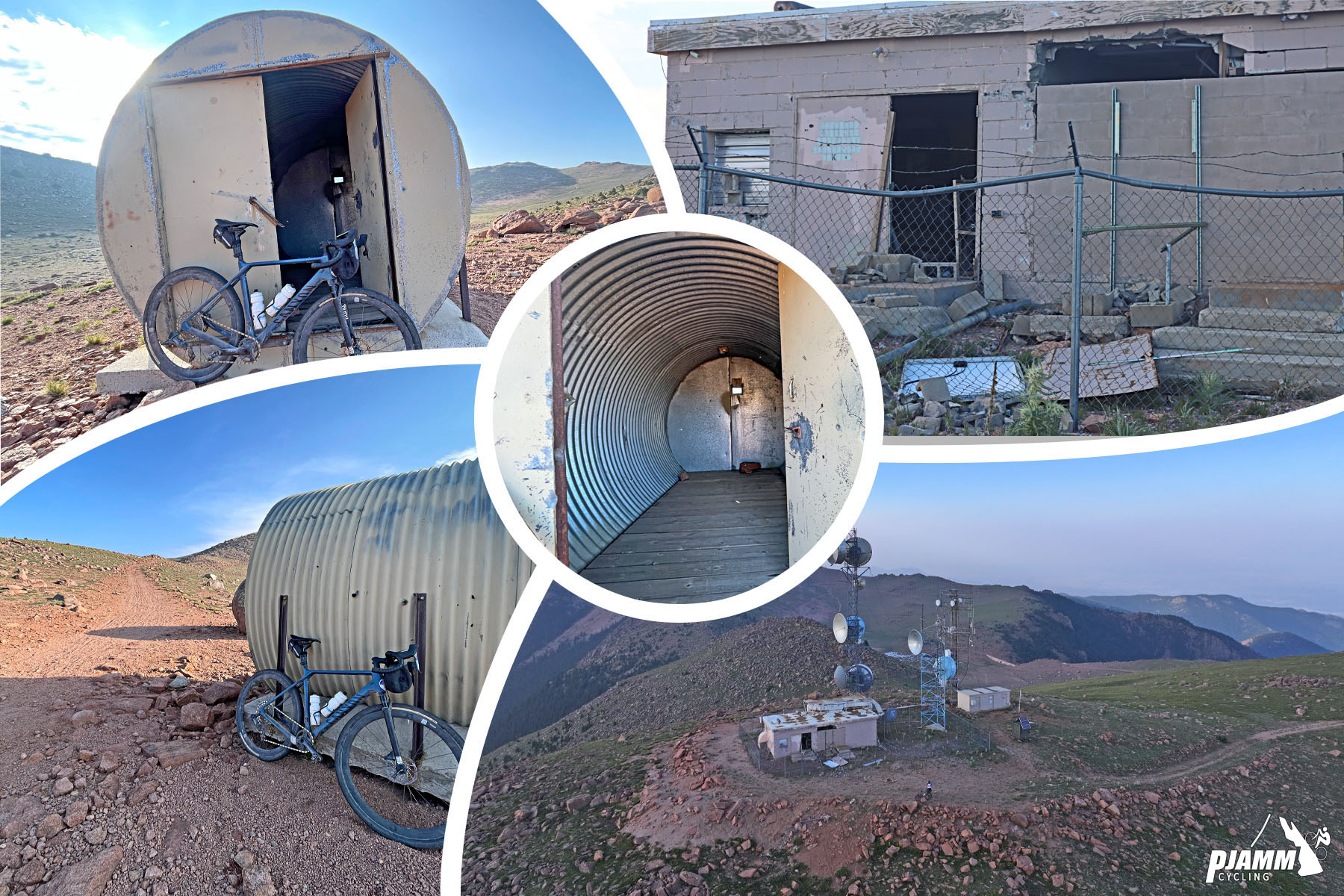
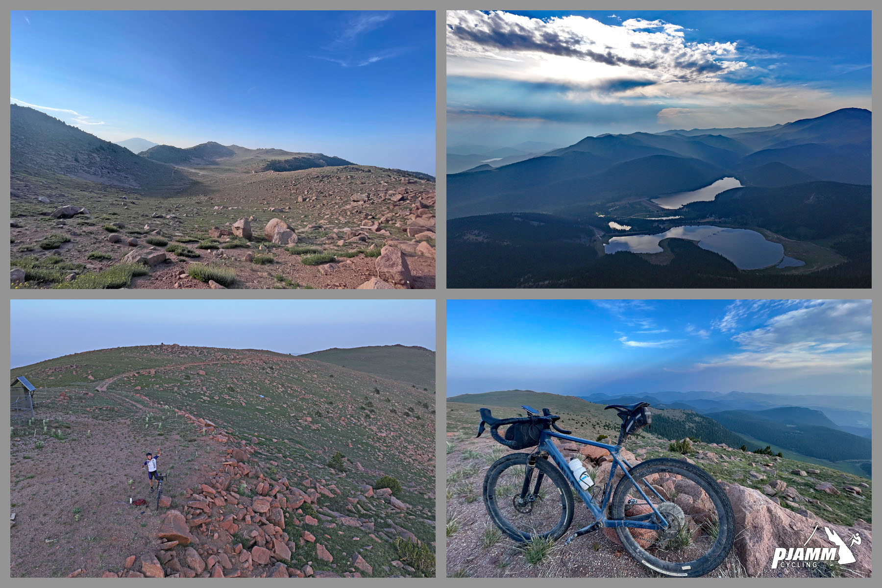
The first 3.8 miles are paved, climbing at a manageable 6.8% through the canyon past Helen Hunt Falls. Past the vehicle gate the road turns to loose, sandy gravel and threads through three century-old mining tunnels, one requiring a short hike-a-bike detour around a locked gate. Beyond potholed Forest Road 370, a turn onto FR 379 at Frosty Park starts the real climbing: above 10,000 feet the surface degrades into large rocks, deep ruts, and loose stone to a radio-tower summit with sweeping, treeless views of the Front Range.
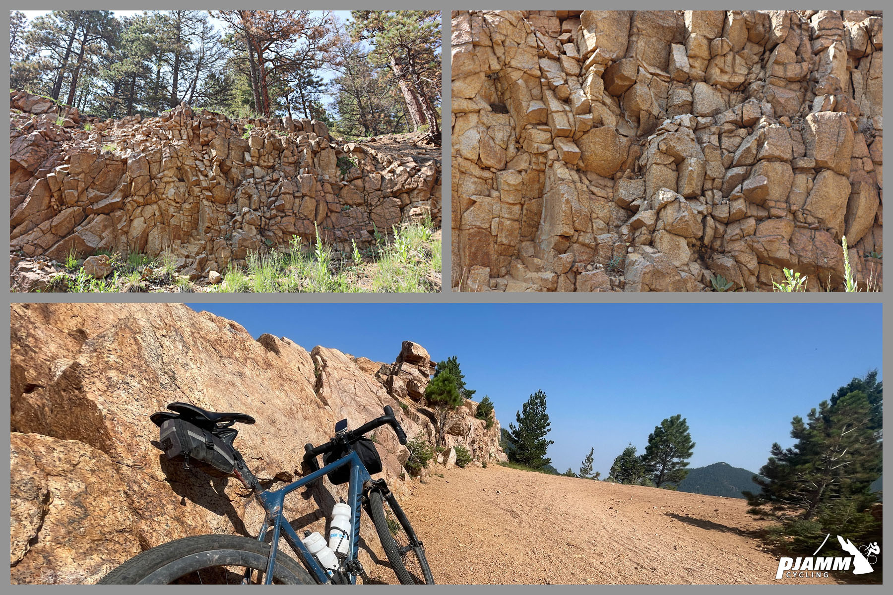
Almagre - Spanish for "red ochre" - was the name Spanish explorers gave this stretch of the Front Range in the 18th century, and the mountain's reddish rock still shows along the upper road. Riders tend to agree a mountain or full-suspension gravel bike with wide tires is the ideal way to go - one contributor calls the final mile "chunky and rough" but doable, while a 2026 reviewer spent much of the climb in a 30x50 gear and called the rocky descent "pretty miserable" on anything but a mountain bike.
PLAN YOUR ROUTE
 We've partnered with Sherpa-Map.com to bring you the best route planning tool. With a PRO Membership you can use this climb as a reference when creating your route.
 This climb backloads its difficulty. The first 3.8 miles out of Colorado Springs are paved and climb at a steady 6.8% through North Cheyenne Canon Park to about 7,630 feet, where the gravel begins. From there the grade eases to roughly 4.2%, including a short breather of about 1.4 miles of gentle descent (-1.45%) around mile 16, before the road turns onto Forest Road 379 at Frosty Park. The final push averages roughly 7% over the last several miles, with the last 1.1 miles to the 12,300-foot summit holding 7.3% over badly rutted, rocky dirt above 11,900 feet. Overall the climb averages 4.45% over 26.1 miles for 6,295 feet of gain - a long day defined more by the punishing road surface (PJAMM road rating: 1 out of 5) than by sheer gradient.
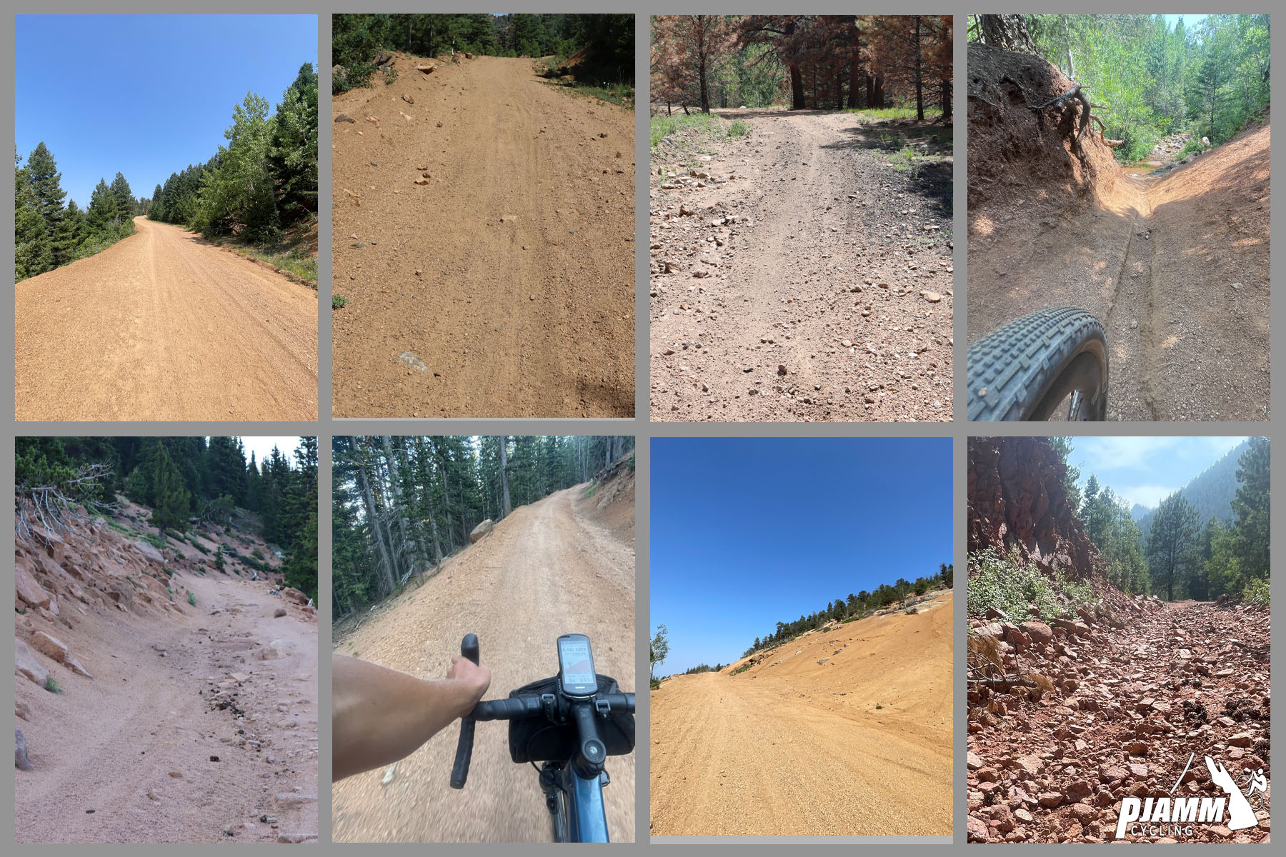
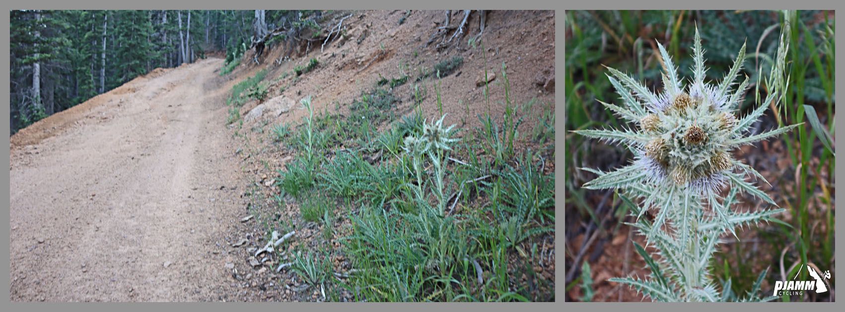
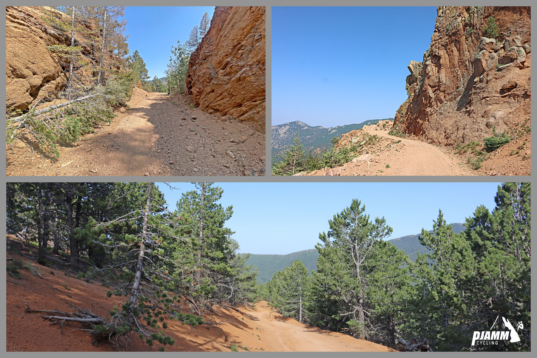
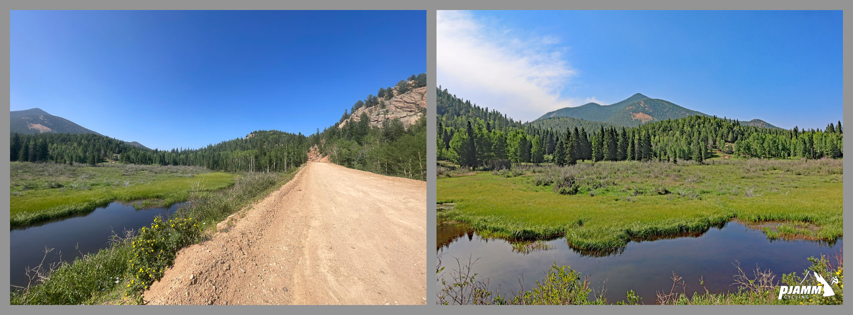
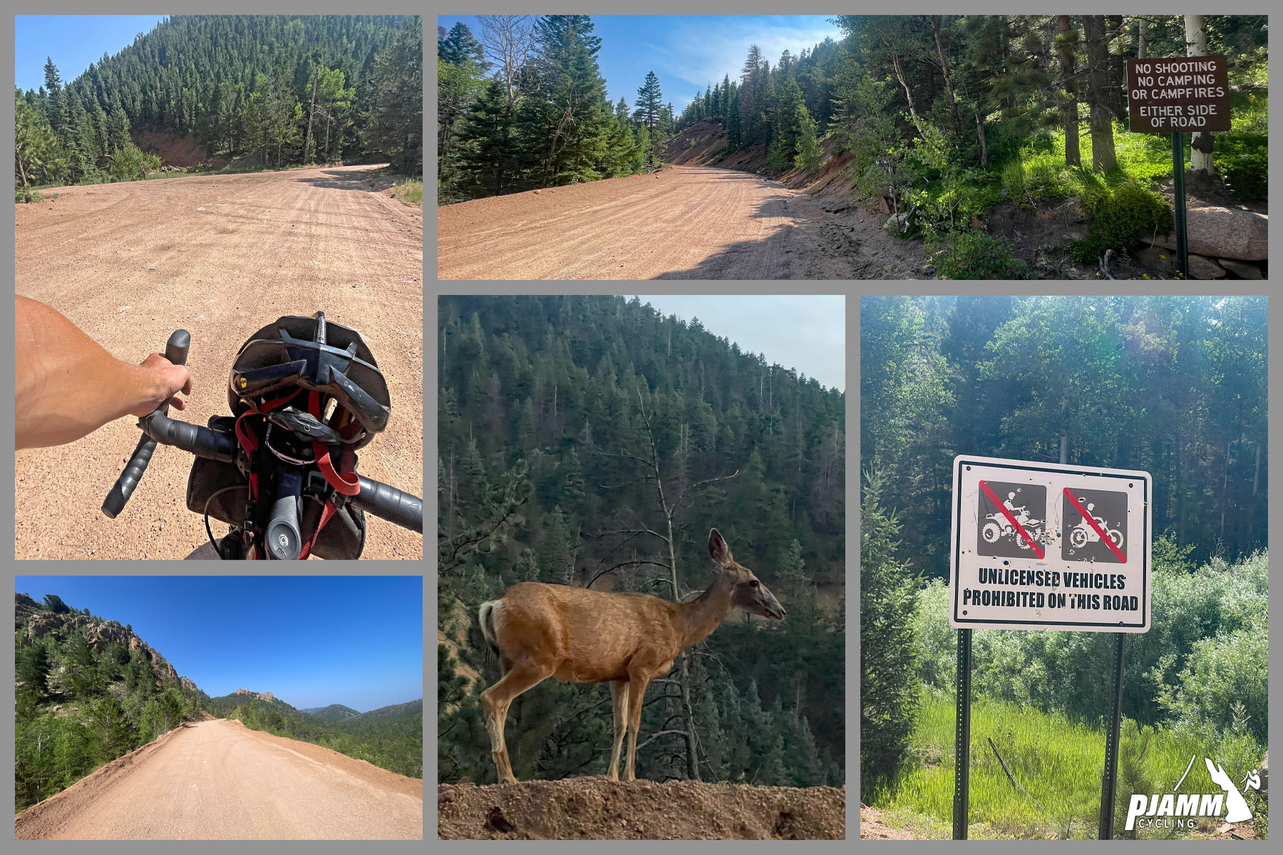
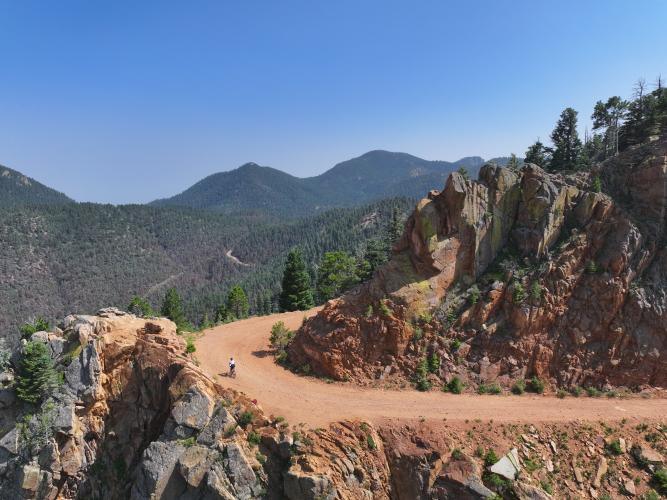
Roadway: The first 3.8 miles are paved, climbing through North Cheyenne Canon Park. Past the vehicle gate the surface turns to loose, sandy gravel - tricky to keep traction on with narrow tires - and passes through three narrow, century-old mining tunnels (a locked gate forces a short hike-a-bike detour around one of them on an adjoining trail). Forest Road 370 is heavily potholed but an improvement on the sand, and once the route turns onto FR 379 above 10,000 feet, the surface deteriorates into large rocks, deep ruts, washboard, and loose stone to the summit. PJAMM rates the road surface just 1 out of 5 - a gravel bike with wide tires works, but a hardtail or full-suspension mountain bike is more comfortable.
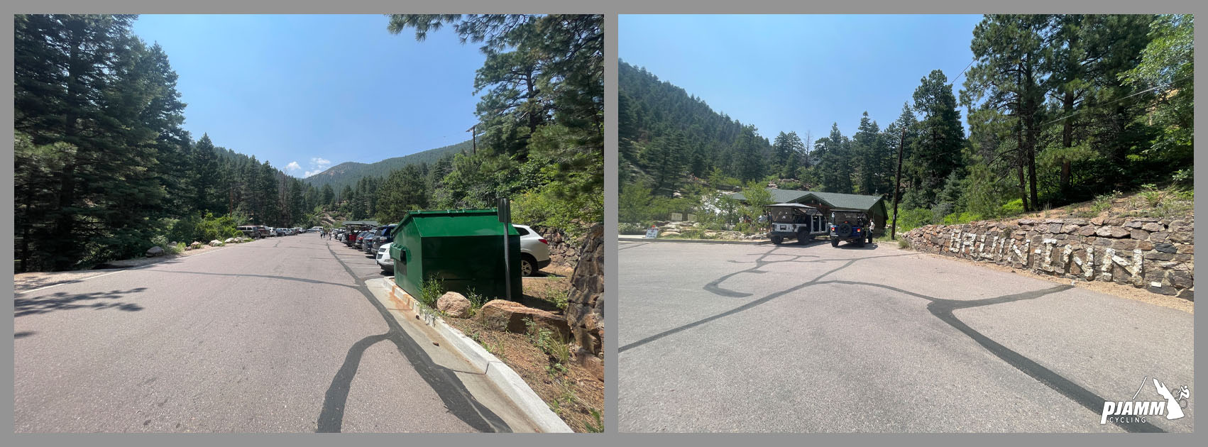
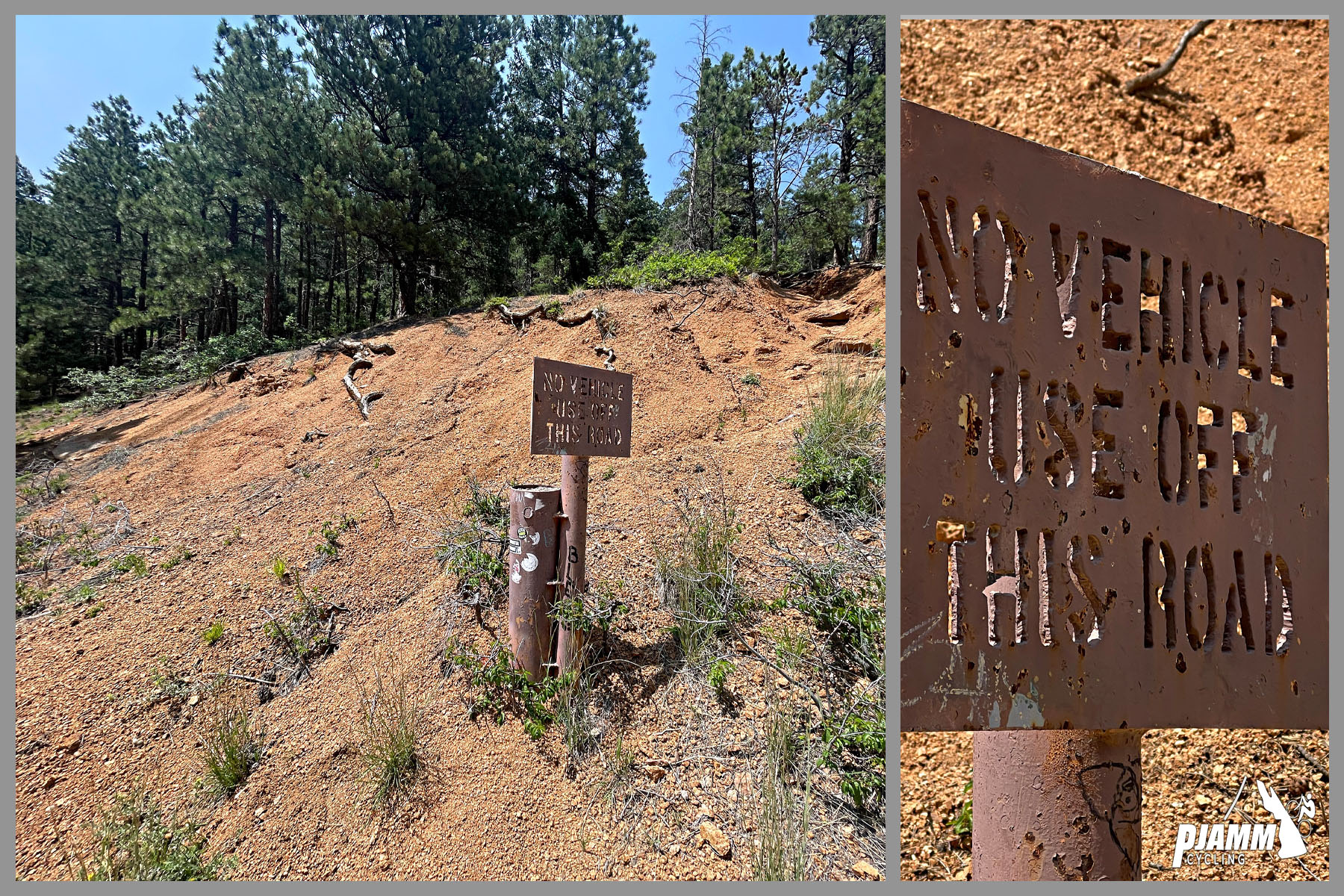
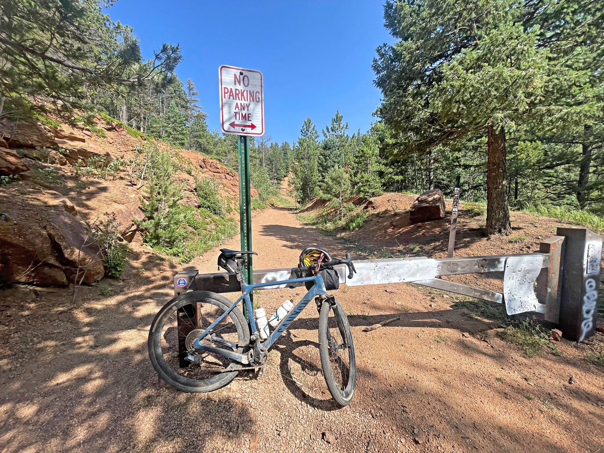
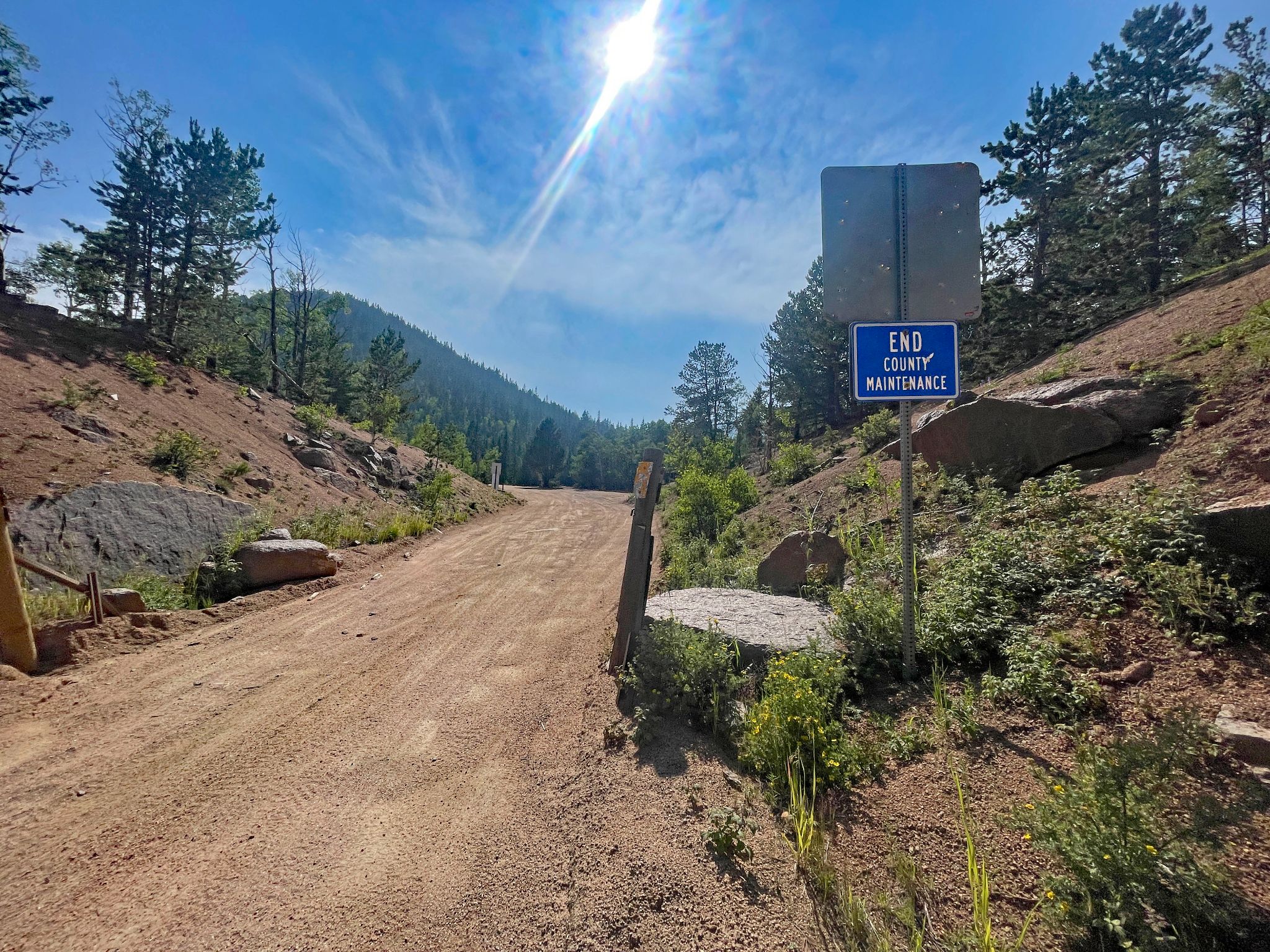
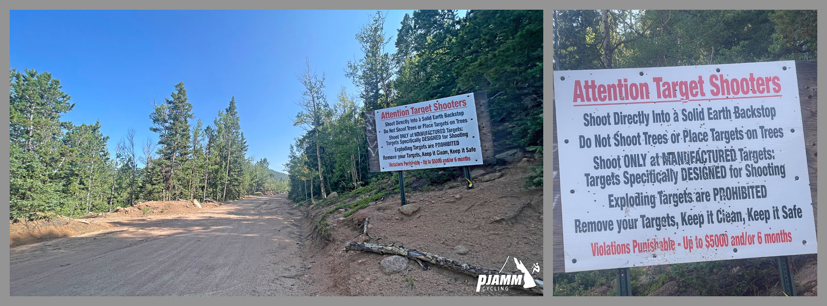
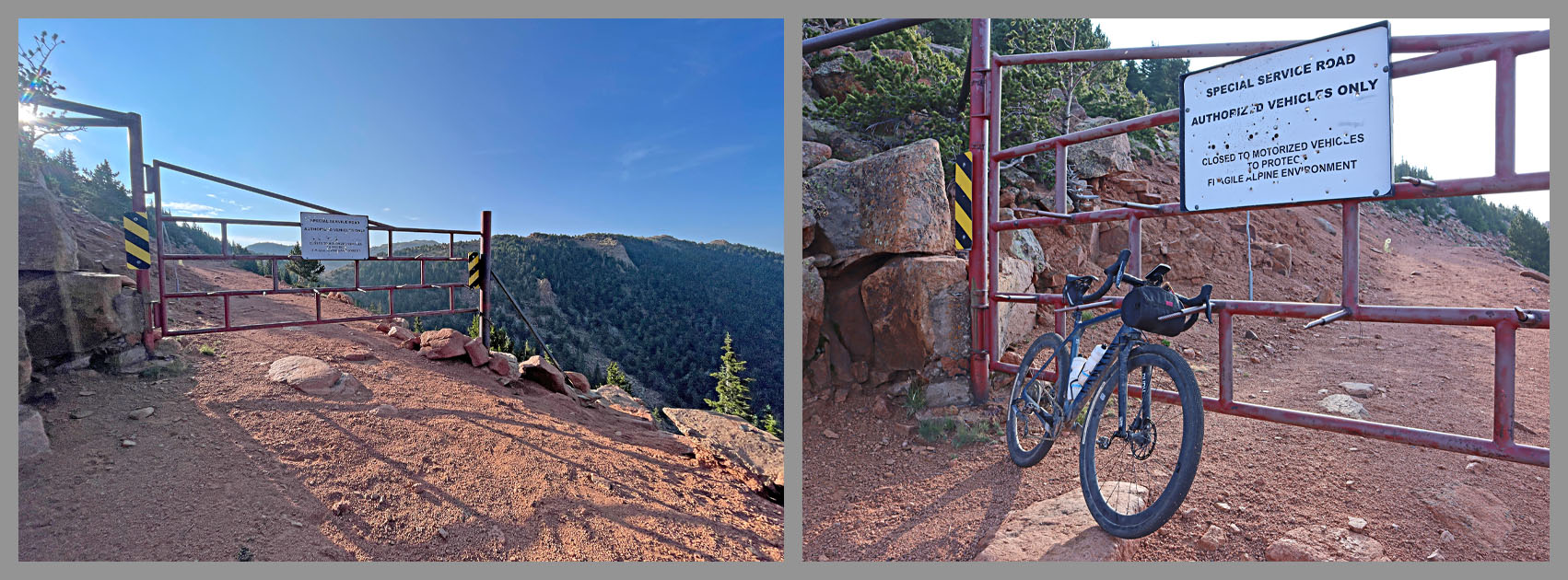
Traffic: The paved lower section through the park sees regular car and pedestrian traffic near the Starsmore and Helen Hunt Falls visitor centers. Above the gate, motorized traffic is technically restricted, but surrounding dirt roads draw heavy Jeep, ATV, and OHV traffic, especially summer weekends. Two locked gates (near mile 11.4, and again about 1.1 miles from the summit) block motor vehicles from the upper mountain but appear to permit cyclists and hikers past.
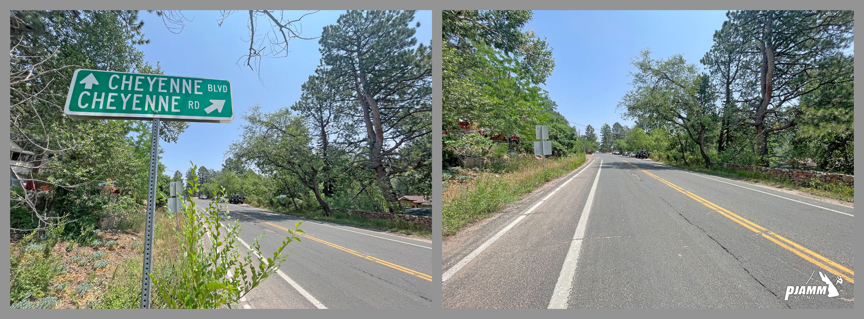
Parking: Park at the Starsmore Visitor and Nature Center (2120 S. Cheyenne Canon Rd), the official start of the climb, or at Helen Hunt Falls Visitor Center about 3 miles up to shorten the paved approach.
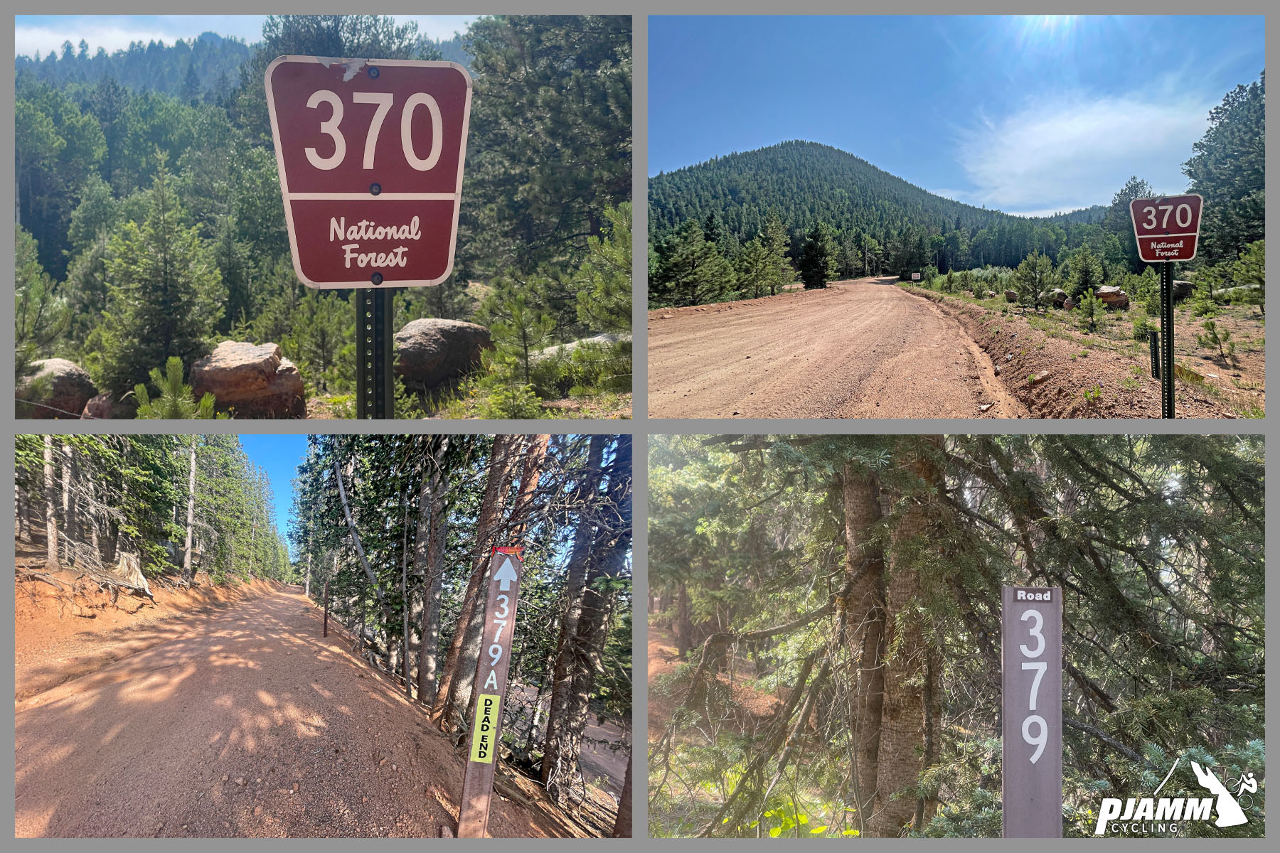
This is a long, remote, high-altitude ride - plan for 4 to 6-plus hours round trip with no services (water, food, or bike shops) once you leave Colorado Springs, so carry more water and food than you think you will need. Wide tires (38mm or larger) and a wide-range gravel or mountain-bike drivetrain are essential for the loose gravel and rocky, rutted sections above 10,000 feet; riders who have done it recommend a full-suspension mountain bike over a gravel bike for both the rough ascent and the technical descent. The summit sits at 12,300 feet, well above treeline, where weather turns quickly and afternoon thunderstorms are common in summer - pack a wind and rain layer and start early. A GPS track loaded in advance is worth having too, since the unmarked junctions with Forest Roads 370, 379, and 379A can be confusing on a first visit.
Before heading out on any cycling adventure check out our Things to Bring on a Cycling Trip and use our interactive check list to ensure you don't forget anything.
The climb starts a few minutes from downtown Colorado Springs, making it easy to pair with the city's other attractions - Garden of the Gods, the Manitou Incline, and the paved Pikes Peak Highway are all nearby if you want a contrast to Almagre's rough gravel. North Cheyenne Canon Park itself, which the route climbs through, is worth a slower look on the way up or down - it is one of the city's oldest parks, established in the 1880s on land donated by Colorado Springs founder General William Jackson Palmer.
Summer and fall are the most reliable seasons; snow can linger into early summer near the treeless summit, and the exposed upper mountain is not a place to be caught in a lightning storm. For current road and gate conditions, the Pikes Peak Ranger District (719-636-1602) is the best source before you go.
ROUTE MAP
MEMBER RATING
CURRENT WEATHER
PJAMM TRIPS ADVENTURE STARTER BUNDLES
Check out PJAMM Adventure's prepackaged (self-guided) cycling trips. They will help you plan, document and conquer your next adventure.
NEARBY CLIMBS (0) RADIAL PROXIMITY
FROM No Climbs Found
MEMBER REVIEWS & COMMENTS
Let us know what you thought of this climb. Signup for our FREE membership to write a review or post a comment.
Already have an account?
LOG IN HERE
DustinStory
Rode this over the weekend. Was very happy to have by full Sus MTB for both the rocky chunks of the ascent and of course the descent. Spent plenty of time in the 30x50 gear. The descent from Almagre back to gold camp would be pretty miserable on a gravel bike I think. Totally awesome ride though, and was fun to hit the Jones loop for some great single track descending as well.