12.5
PDI
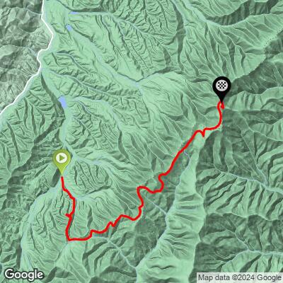
10 mi
DISTANCE
2,511 ft
GAINED
4.3 %
AVG. GRADE
FULL CLIMB STATS
Page Contributor(s): Jeremiah Bishop - Alpine Loop Gran Fondo
INTRO
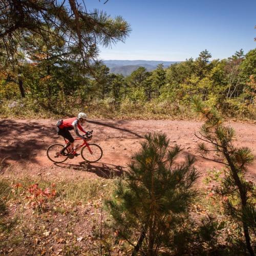
This forested stair step climb in George Washington National Forest has been used in several events including Tour de Burg and Alpine Loop Gran Fondo.
PLAN YOUR ROUTE
See more details and tools regarding this climb's grade via our interactive Profile Tool.
Information Not Available
If you have any information regarding this climb, we'd like to hear from you. Click the CONTRIBUTE button to share your thoughts with us.
1.1 gears and minim 35 c tires recommend. If it has been wet light tread is also advised.
Before heading out on any cycling adventure check out our Things to Bring on a Cycling Trip and use our interactive check list to ensure you don't forget anything.
Information Not Available
If you have any information regarding this climb, we'd like to hear from you. Click the CONTRIBUTE button to share your thoughts with us.
ROUTE MAP
MEMBER RATING
CURRENT WEATHER
PJAMM TRIPS ADVENTURE STARTER BUNDLES
Check out PJAMM Adventure's prepackaged (self-guided) cycling trips. They will help you plan, document and conquer your next adventure.
NEARBY CLIMBS (0) RADIAL PROXIMITY
FROM No Climbs Found
MEMBER REVIEWS & COMMENTS
Let us know what you thought of this climb. Signup for our FREE membership to write a review or post a comment.
Already have an account?
LOG IN HERE