25.7
PDI
24.8 mi
DISTANCE
5,290 ft
GAINED
3.8 %
AVG. GRADE
FULL CLIMB STATS
Page Contributor(s): Ron Hawks, Las Vegas, Nevada, USA
INTRO
Powder River Pass West is a long, steady climb on US Highway 16 up the western slope of the Bighorn Mountains in northern Wyoming: 24.8 mi and 5,290 ft of gain, from 4,689 ft just east of Ten Sleep to 9,665 ft at the top of the pass. The average grade is only 3.8%, and the steepest mile is 6.2%, so this is an endurance ride rather than a grinder.
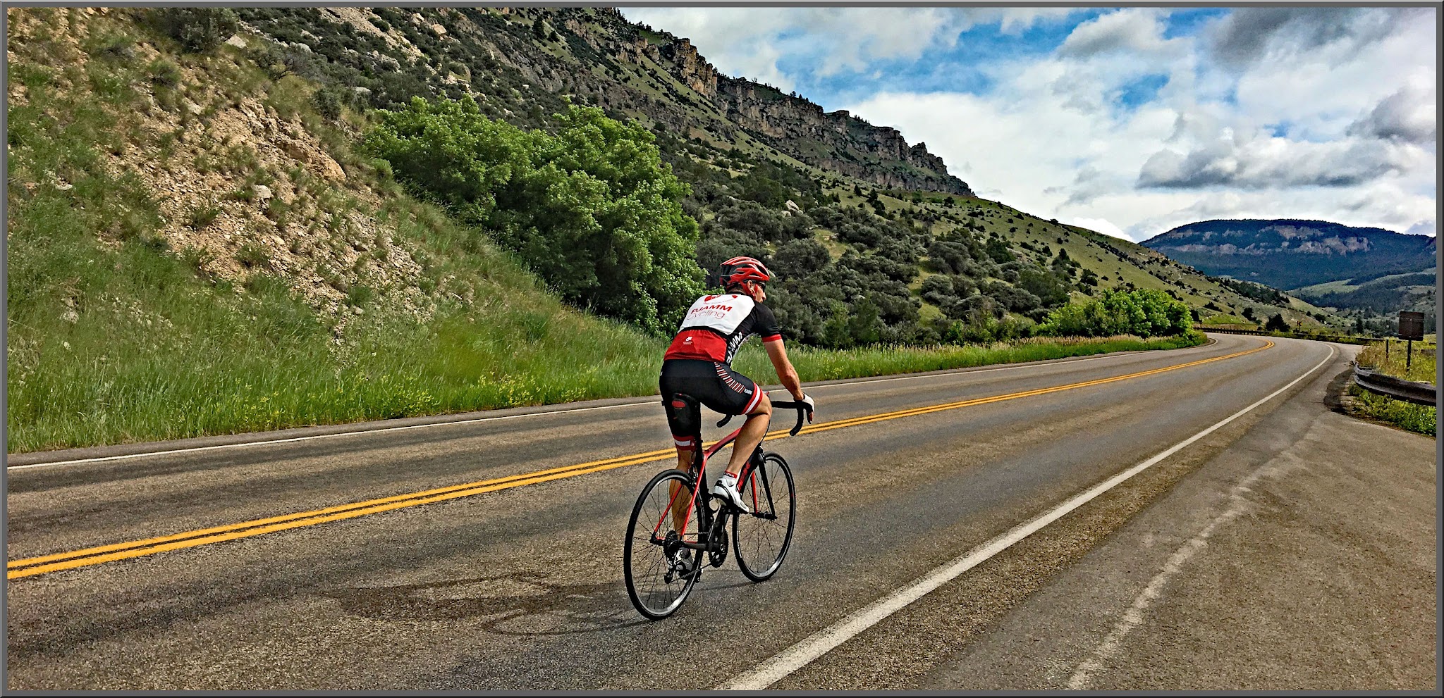
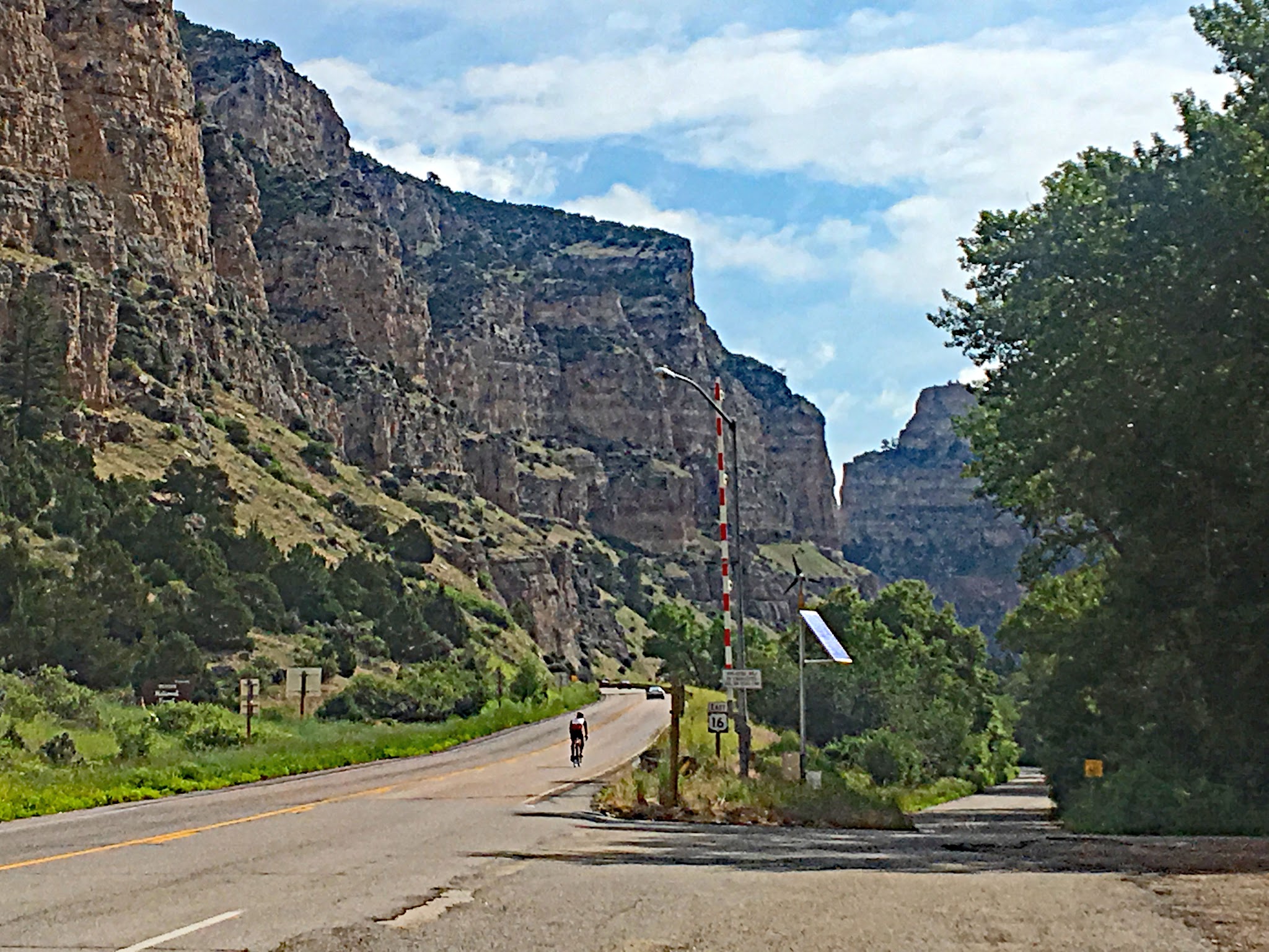
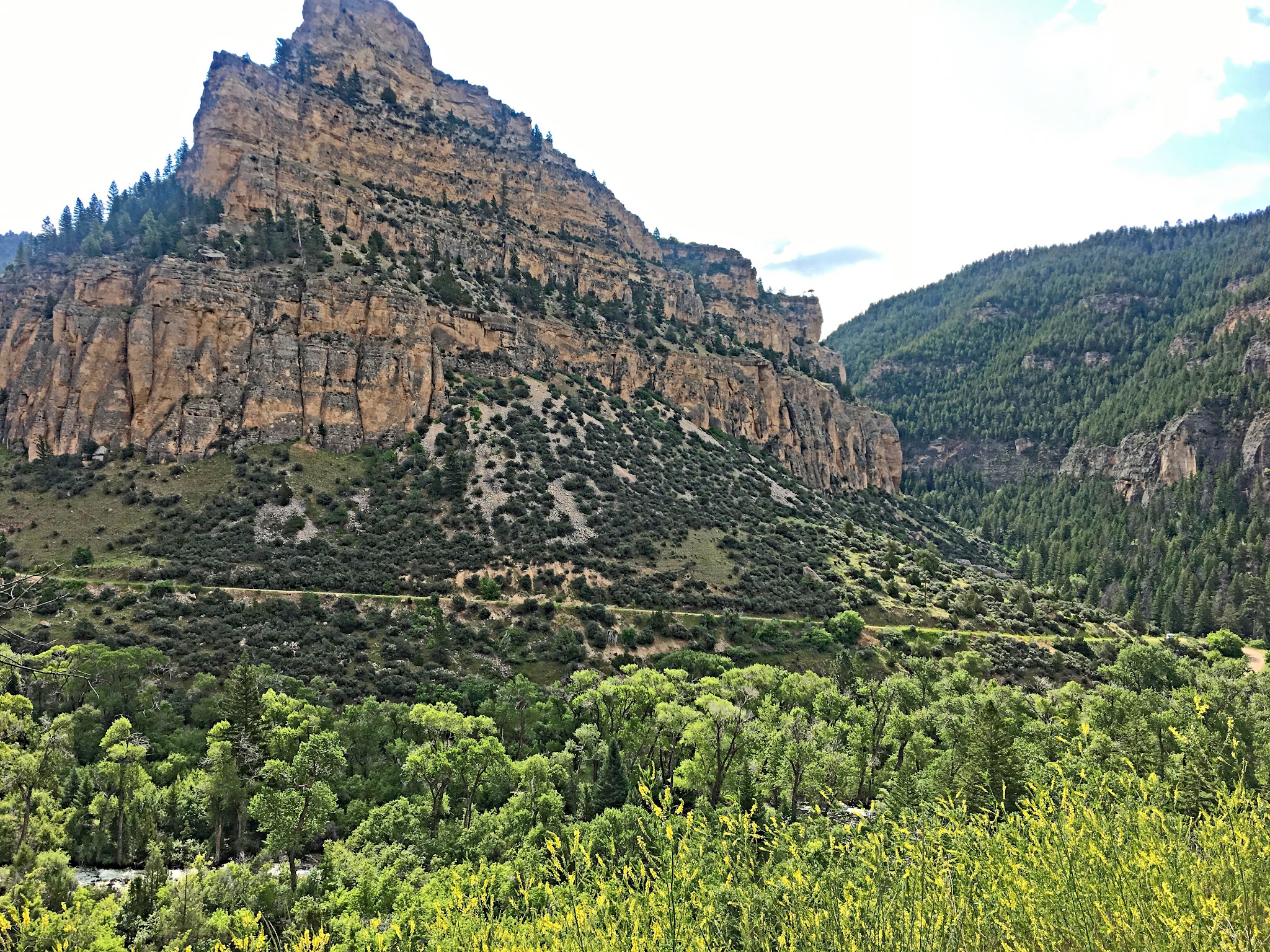
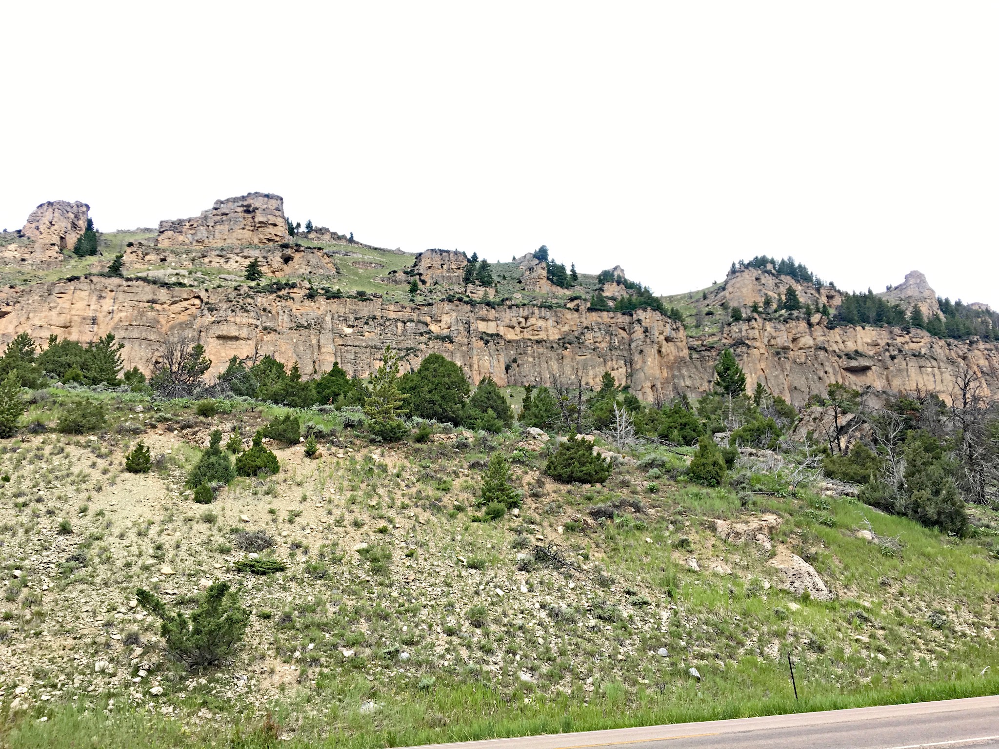
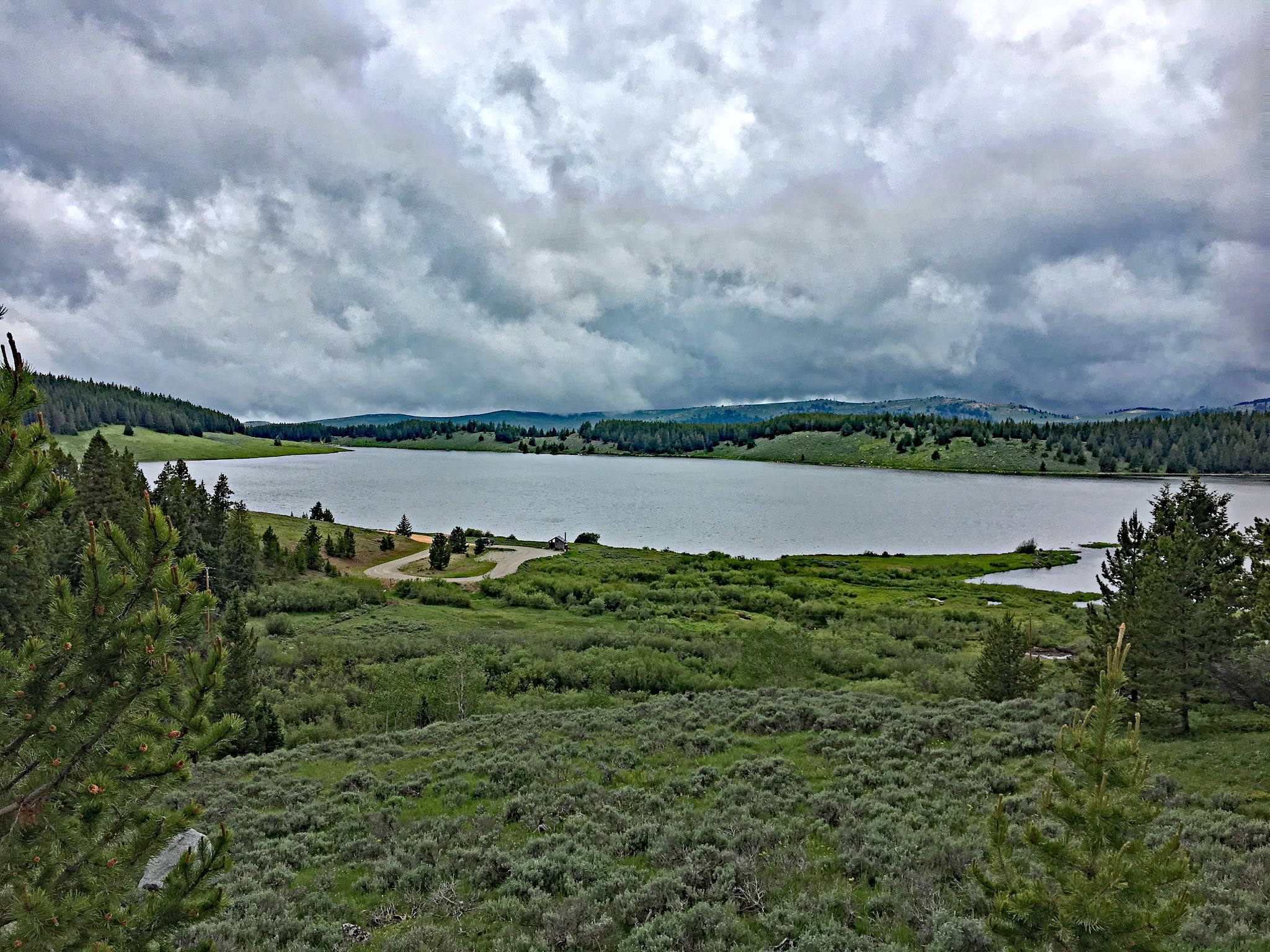
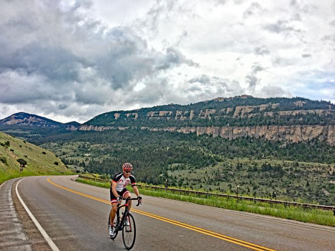
US 16 here is the Cloud Peak Skyway, a 47-mile byway between Ten Sleep and Buffalo, and of the three highways over the Bighorns it has the lowest grades and gentlest curves. The route climbs through the limestone and dolomite cliffs of Ten Sleep Canyon, then opens into high country near Meadowlark Lake with Cloud Peak (13,167 ft) on the skyline. WYDOT resurfaced and rehabilitated bridges east of Ten Sleep in 2022 and replaced guardrail in the canyon in 2023.
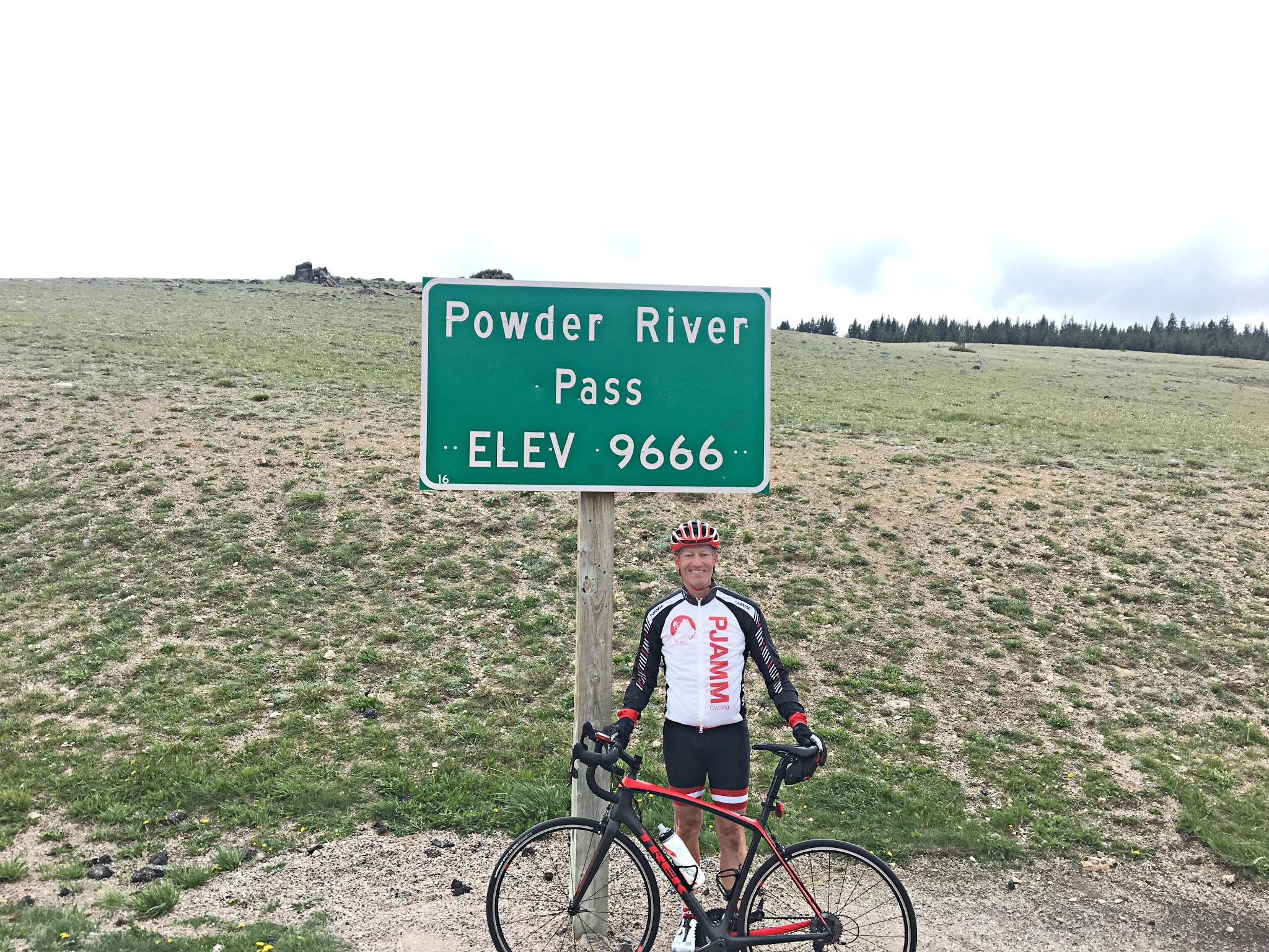
“The west side of Powder River Pass is a long and shallow climb up to high altitude in the isolated and spectacular Big Horn Mountains of northern Wyoming. The hill begins by following Route 16 east through scenic Ten Sleep Creek Canyon over mostly shallow grade. Soon you ascend a big S curve with increased grade up the ridge that takes you out of the deepest part of the canyon. The climb then gets more shallow over the last 9 miles to finish at the unmarked Powder River Pass (9,666 ft). Its descent is challenging in spots particularly the double switchback...” (This quote is presented with the approval of John Summerson, from his book, The Complete Guide to Climbing (by Bike), 2nd Edition, pg. 235.)
PLAN YOUR ROUTE
 We've partnered with Sherpa-Map.com to bring you the best route planning tool. With a PRO Membership you can use this climb as a reference when creating your route.
 Powder River Pass West averages 3.8% over 24.8 mi (4.6% climb only), gaining 5,290 ft from 4,689 ft to 9,665 ft. 46% of the climb is at 0-5% grade and 41% is at 5-10%.
The steepest quarter-mile is 7.7%, the steepest mile 6.2% and the steepest 5 miles 5.6%, with the steepest 100 yards reaching 10.5%. The grade picks up on the big S curve up out of the canyon, and the final 9 miles to the pass are noticeably shallower.
Roadway: This climb is on two-lane US Highway 16, in very good condition, with a shoulder to ride in nearly all of the climb. WYDOT resurfaced the highway and rehabilitated four bridges east of Ten Sleep in 2022 and replaced guardrail in the canyon in 2023, so the pavement and edges are in good shape.
Traffic: Mild.
Parking: On a side service road to the left at the start of the climb (Map; Street View).
Provisions: Fill up in Ten Sleep before you start - Dirty Sally's General Store (124 2nd Street) and Ten Sleep Brewing Company (2549 Highway 16) are both in town, a few miles west of the climb start (Map). Meadowlark Lake Lodge (4700 US-16 East), near the top, is the only other option on the climb, so check its season before counting on it.
Gear: The grades are gentle, so gearing matters for the length rather than the steepness - plan for 5,290 ft of climbing.
Weather: The pass is 9,666 ft, more than 5,200 ft above Ten Sleep (4,426 ft), so it is far colder at the top. Carry a windproof layer and arm warmers even on a hot day in town.
Before heading out on any cycling adventure check out our Things to Bring on a Cycling Trip and use our interactive check list to ensure you don't forget anything.
This is a fairly remote bike climb without much around. Ten Sleep (4,426 ft) has limited services: the Carter Inn (414 2nd Street) and Ten Sleep Rock Ranch for beds, plus Bighorn National Forest campgrounds such as Boulder Park, Island Park and Leigh Creek, and the canyon itself is a well-known rock-climbing destination.
If you like to hike, the 189,039-acre Cloud Peak Wilderness is reachable only on foot or horseback, and there are many other options in Bighorn National Forest (our climb is at the southern end of the forest). See All Trails Top Hikes in Bighorn National Forest for more information.
Conditions at the pass can differ a lot from Ten Sleep, so check them with our Weather tool before you set out.
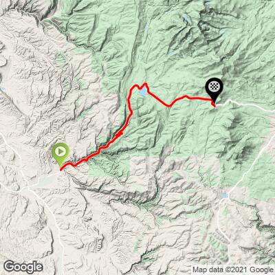
ROUTE MAP
MEMBER RATING
CURRENT WEATHER
PJAMM TRIPS ADVENTURE STARTER BUNDLES
Check out PJAMM Adventure's prepackaged (self-guided) cycling trips. They will help you plan, document and conquer your next adventure.
NEARBY CLIMBS (0) RADIAL PROXIMITY
FROM No Climbs Found
MEMBER REVIEWS & COMMENTS
Let us know what you thought of this climb. Signup for our FREE membership to write a review or post a comment.
Already have an account?
LOG IN HERE
Skotscott
June 30, 2023
I parked a paved pullout about 5 miles from Ten Sleep. This is a wonderful, moderate climb - a steady grind with no steep sections, on a good road with a wide shoulder and fantastic scenery. Very safe and fun decent. High speed vehicle traffic but felt very safe with the wide shoulder to ride on. Highly recommended. Be prepared : this is a long, high-altitude climb. I departed in the morning with a sunny sky, slight chance for and afternoon shower. Got caught by a midday thunderstorm with freezing rain and sleet at the top. Made for a shaking-cold, soaking wet decent back down to warmth and a dry lower ½ of the road.